Tracing the History of Paty do Alferes
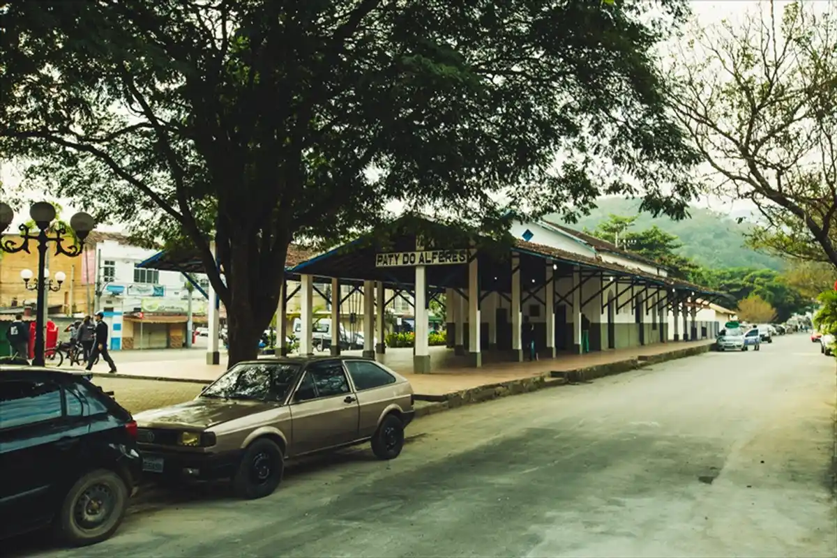
In the Center-South Fluminense, in the tourist region of Vale do Café, lies the charming municipality of Paty do Alferes, 118 km from the capital Rio de Janeiro. The city is part of the old Caminho Novo of the Estrada Real, and it is from there that the Emperor's Path begins. Its name combines the military rank of Alferes with the word Pati, an indigenous term for a type of palm in the region. Paty do Alferes has been called Roça de Nossa Senhora da Conceição da Serra Acima, Freguesia de Nossa Senhora da Conceição, and Vila de Nossa Senhora da Conceição de Paty do Alferes. Its colonization began in the late 17th century, and the many name changes are due to the passage of the Royal Road and the opening of the New Way from Minas.