Caminho das Araucárias
Description
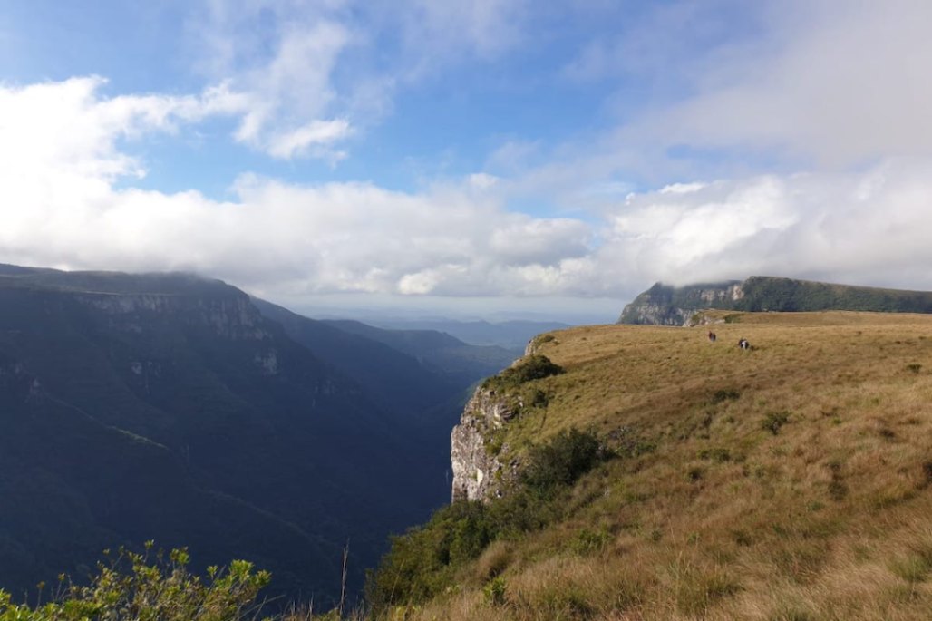
Photo: Acervo Caminho das Araucárias The Path of the Araucarias, part of the Brazilian Trail Network, comprises a route of approximately 600 km of marked trails and roads in the states of Rio Grande do Sul and Santa Catarina. The path features sections that can be traversed on foot, by bicycle, or on horseback, allowing travelers to experience beautiful landscapes, fields, rivers, forests, traditional communities, and local culture. The diversity of environments and attractions offers opportunities for rest, adventure, and surprises, such as encounters with beautiful birds from our region. The Conservation Units connected by the Path of the Araucarias are located in areas with mild summer climates and quite cold winters, with temperatures that can drop below 0 degrees, which causes the landscapes to change throughout the year, deserving more than one visit at different times!
Activities

Guidelines
 Extension: 600 Km
 Difficulty Hard
 Orientation Moderate
 Signaling Level Partial
 Conservation Good
 Risk Exposure Medium
 Sun Exposure High
 Hydration Point Available
 Climbing No climbing required
 Minimum Altitude: 44m Maximum Altitude: 1061m
 Negative Unevenness: 114443m
 Positive Unevenness: 11444m
What the trail offers
 Viewpoints
Protected Areas where the Trail passes through

Map
Guidelines
Extension: 600 KmDifficulty: HardOrientation: ModerateSignaling Level: PartialMinimum Altitude: 44m Maximum Altitude: 1061m Negative Unevenness: 114443m Positive Unevenness: 11444m