Caminho de Cora Coralina
Description
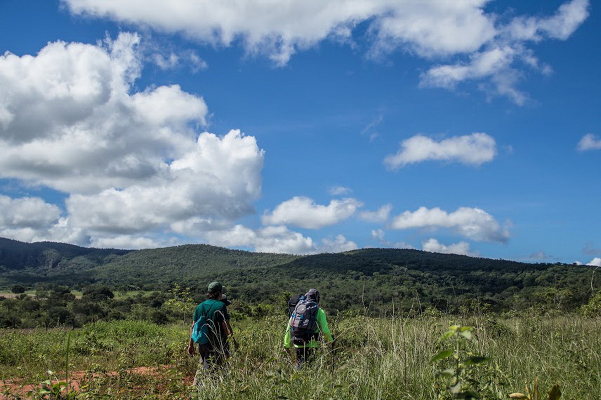
Photo: Cora Coralina Path The Cora Coralina Path is a long-distance trail approximately 300 kilometers long, crossing the historic cities of Corumbá de Goiás, Pirenópolis, São Francisco de Goiás, Jaraguá, and the City of Goiás, also encompassing the municipalities of Cocalzinho de Goiás, Itaguari, and Itaberaí. Designed in 2013, the project aimed to connect the municipalities, villages, farms, and attractions, following ancient paths on a tourist route for Hikers and Cyclists. All municipalities and villages have accommodations available for travelers. The path is fully marked, and users are allowed to traverse it in a self-guided manner. We recommend the partner operators of the Cora Coralina Path Association to ensure unforgettable experiences.
Activities


Guidelines
 Extension: 306.63 Km
 Difficulty Moderate
 Orientation Easy
 Signaling Level Partial
 Conservation Excellent
 Risk Exposure Low
 Sun Exposure High
 Hydration Point Available
 Climbing No climbing required
 Minimum Altitude: 489m Maximum Altitude: 1338m
 Negative Unevenness: 5080m
 Positive Unevenness: 4602m
What the trail offers
 Historic Building
 Fauna
 Viewpoints
 River
 Ruins
 Archaeological Site
Map
Guidelines
Extension: 306.63 KmDifficulty: ModerateOrientation: EasySignaling Level: PartialMinimum Altitude: 489m Maximum Altitude: 1338m Negative Unevenness: 5080m Positive Unevenness: 4602m