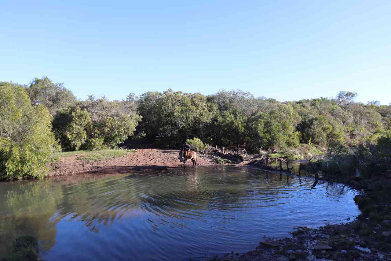
Caminho do Pampa
Description
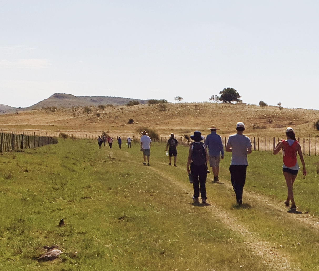
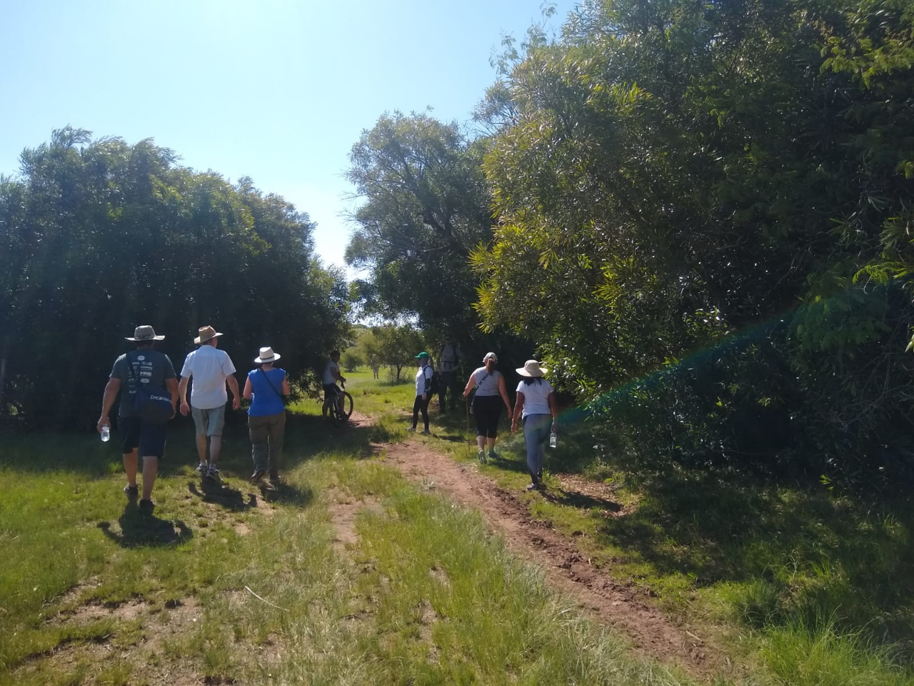
The Pampa Path will serve as a guide for regional, national, and international integration, promoting sustainable development and the conservation of natural resources, as well as economic growth through tourism for the rural population. It is designed as a crossing of 10 to 12 days that connects the four municipalities of the Ibirapuitã APA - Livramento, Rosário, Alegrete, and Quaraí - and is a tourist product "where everything that is planted grows and what flourishes the most is love ..." aimed at developing the region sustainably and creating an ecological corridor for wildlife transit, environmental conservation, and the traditional way of life. The Pampa Path welcomes you!!
Activities

Activity Hiking
Time 115h 0m
Guidelines
 Extension: 170 Km
 Difficulty Moderate
 Orientation Easy
 Signaling Level Partial
 Conservation Good
 Risk Exposure Medium
 Sun Exposure Medium
 Hydration Point Available
 Climbing No climbing required
 Minimum Altitude: 117m Maximum Altitude: 315m
 Negative Unevenness: 0m
 Positive Unevenness: 0m
What the trail offers
 Historic Building
 Fauna
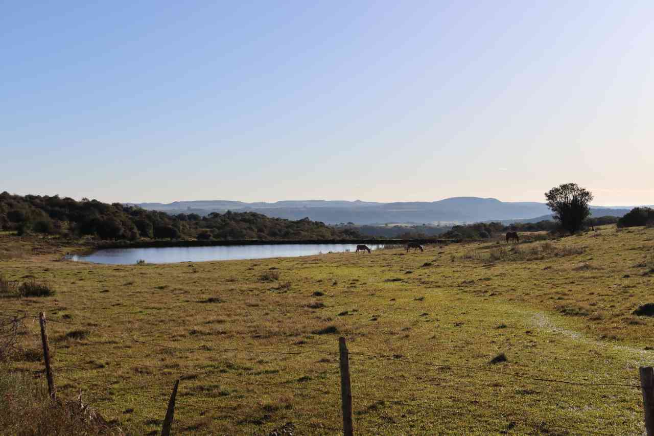
 Lake
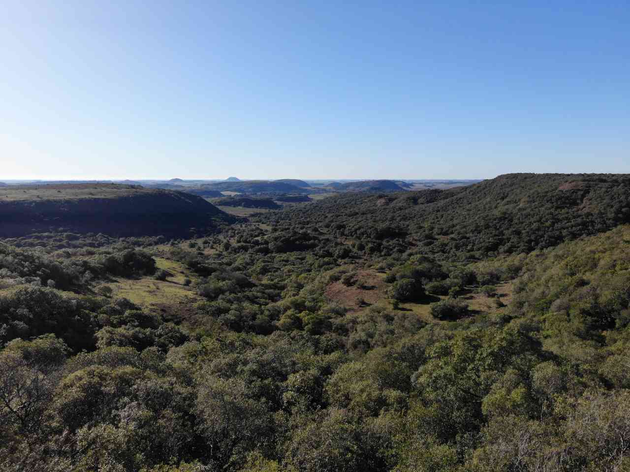
 Viewpoints
 Ruins
Discover the segment of Caminho do Pampa

Protected Areas where the Trail passes through

Map
Guidelines
Extension: 170 KmDifficulty: ModerateOrientation: EasySignaling Level: PartialMinimum Altitude: 117m Maximum Altitude: 315m Negative Unevenness: 0m Positive Unevenness: 0m