Caminhos do Rio Paraíba do Norte
Description
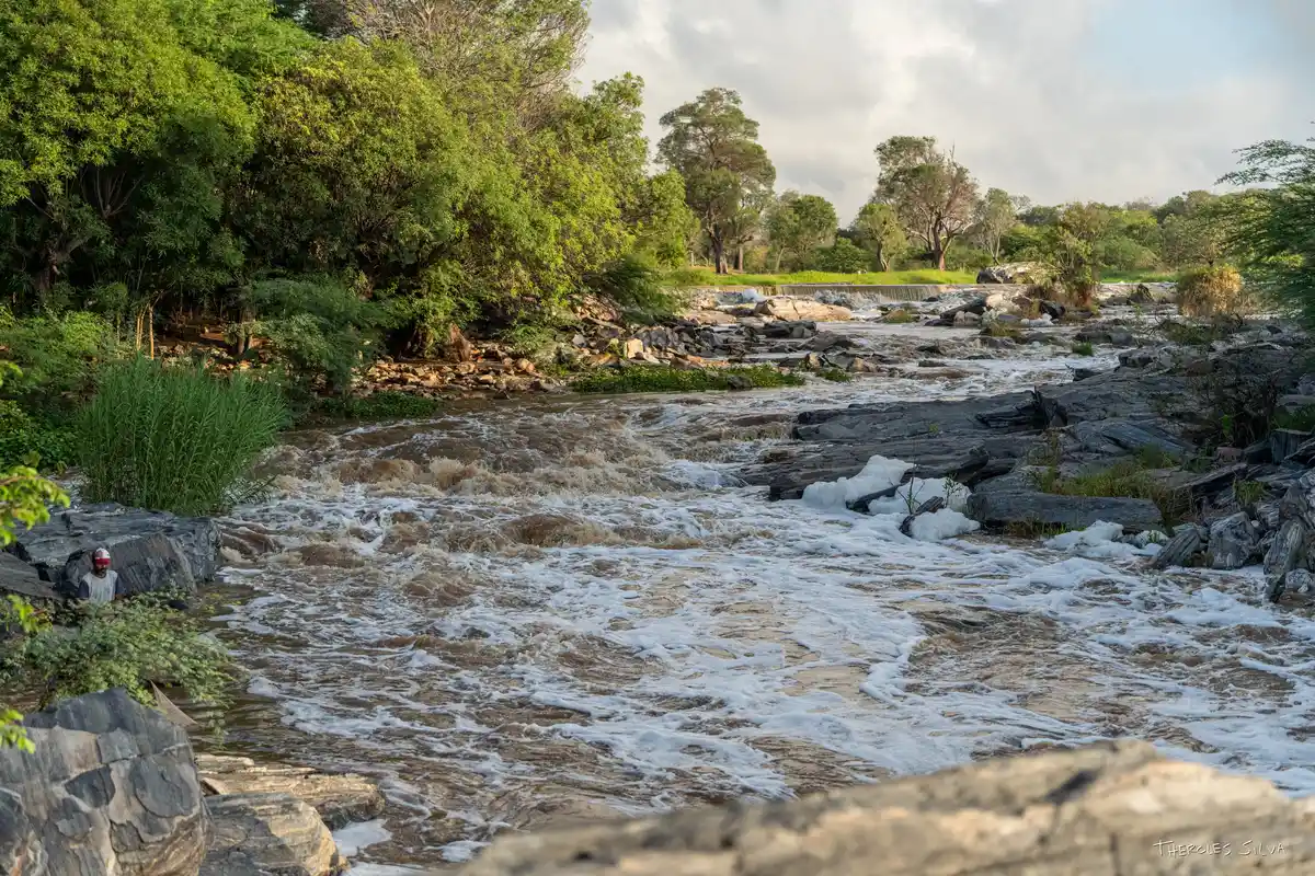
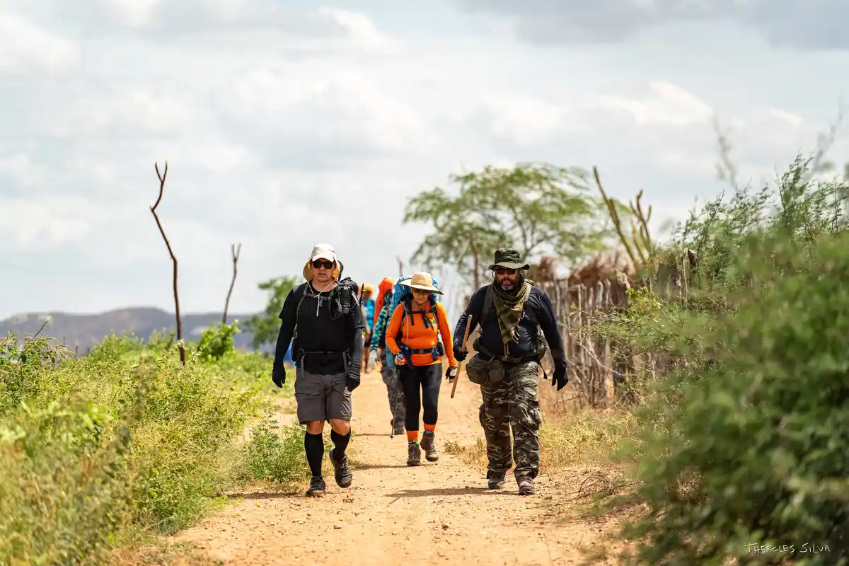
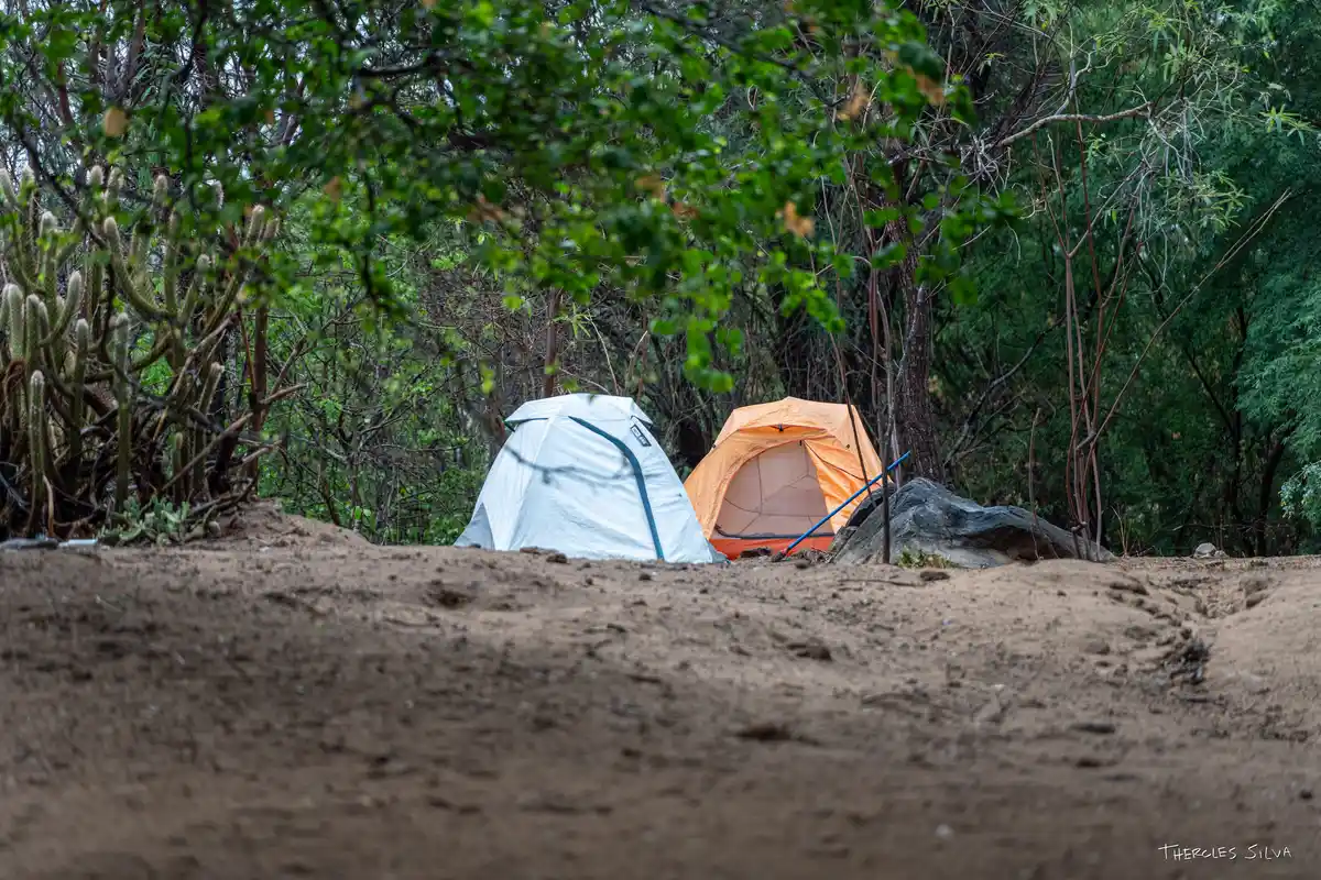
The Long-Distance Trail Paths of the Paraíba do Norte River is a route of approximately 160 km that follows the bed of the main river in Paraíba, crossing the heart of Cariri Paraibano. The journey begins in Camalaú and passes through the municipalities of Congo, Caraúbas, Barra de São Miguel, São Domingos do Cariri, and Boqueirão, until reaching Cabaceiras, known as the 'Northeastern Hollywood'. More than just a hike, the Path represents a journey of integration between nature, culture, and history, connecting the territories of Cariri and promoting community-based tourism in harmony with local identity.
Activities

Activity Cycling
Time 0h 0m

Activity Hiking
Time 0h 0m
Guidelines
 Extension: 160 Km
 Difficulty Moderate
 Orientation Hard
 Signaling Level NonExistent
 Conservation Good
 Risk Exposure Medium
 Sun Exposure High
 Hydration Point Unavailable
 Climbing There is
 Minimum Altitude: 600m Maximum Altitude: 700m
 Negative Unevenness: 200m
 Positive Unevenness: 160m
What the trail offers
 Avifauna
 Community Tourism
 Rock Formations
 River
Map
Guidelines
Extension: 160 KmDifficulty: ModerateOrientation: HardSignaling Level: NonExistentMinimum Altitude: 600m Maximum Altitude: 700m Negative Unevenness: 200m Positive Unevenness: 160m