Travessia Guadakan
Description
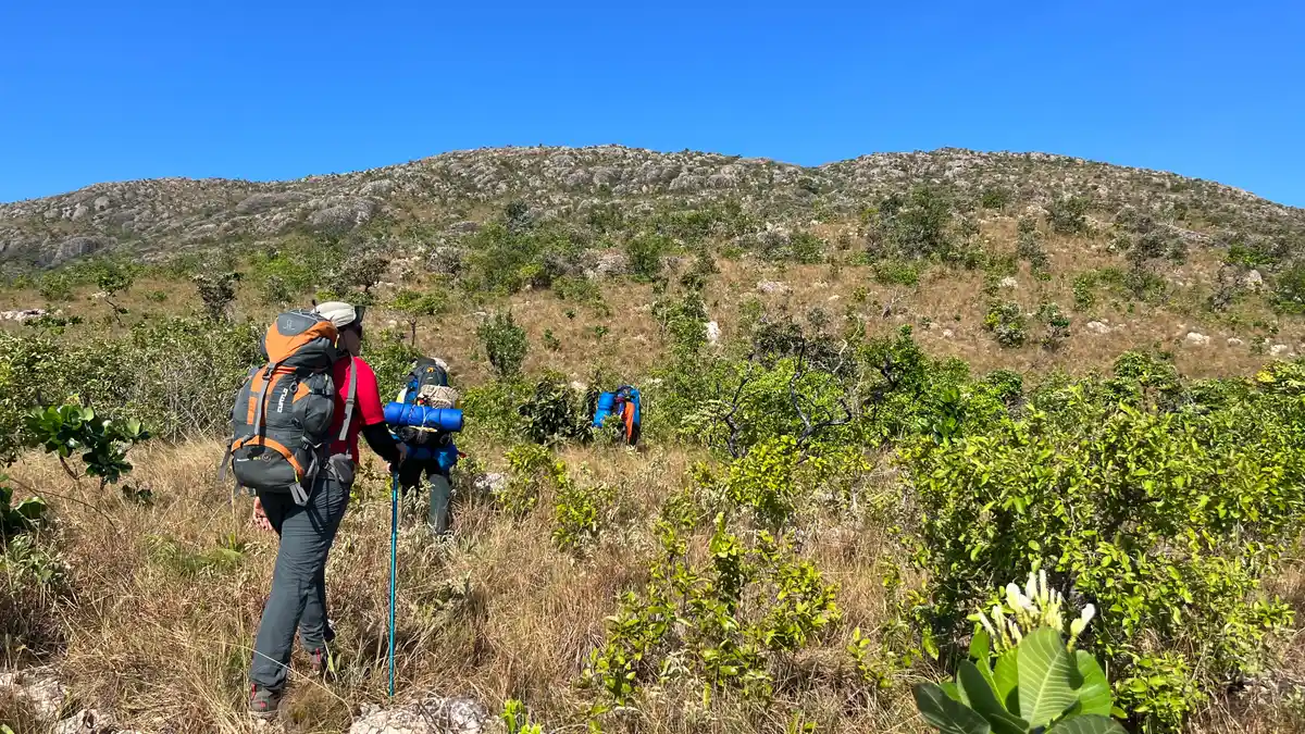
# Guadakan Crossing **Where the mountain meets the largest floodplain on the planet.** The Guadakan Crossing is a long-distance trail that traverses the Serra do Amolar, one of the most remote, preserved, and fascinating places in the Brazilian Pantanal. The crossing is an immersive experience in nature, culture, and history in a territory where environmental conservation and traditional communities walk side by side. "Guadakan" is a word from the Guató people that means **Pantanal**. The name represents the deep connection between the territory, its original inhabitants, and the landscape that has shaped their lives for centuries. Along the route, visitors traverse environments that reveal the uniqueness of the Serra do Amolar, a mountain range that rises amidst the vast floodplain, providing panoramic views of one of the richest ecosystems in biodiversity on the planet. The Guadakan Crossing is an initiative of the **Instituto Homem Pantaneiro (IHP)**, developed under the Amolar Experience program, integrating nature conservation, wildfire prevention, scientific research, and nature tourism. The project also strengthens opportunities for local communities and the Guató people, promoting training, income generation, and the appreciation of traditional knowledge. In addition to providing a unique experience for visitors, the trail plays important environmental roles. Its layout contributes to biodiversity monitoring, assists fire brigade access, serves as a strategic firebreak in sensitive areas, and strengthens the protection of one of the most important ecological corridors in the Pantanal. Throughout the journey, it is possible to observe the diversity of fauna and flora. The region is home to emblematic species such as the jaguar, the tapir, the giant river otter, the harpy eagle, the hyacinth macaw, numerous aquatic birds, and a rich vegetation adapted to the dynamics of the Pantanal's floods and droughts. Each season completely transforms the landscape, making each crossing a different experience. The Guadakan Crossing is intended for experienced trekking and adventure tourism practitioners. The route requires good physical conditioning, preparation for hiking in remote environments, and respect for minimum impact and safety guidelines. More than just completing a crossing, traversing the Guadakan is to experience a territory where nature, culture, and conservation meet. Each step contributes to strengthening a tourism model that protects the Pantanal, values its people, and demonstrates that well-planned trails can be powerful tools for conserving biodiversity and generating opportunities for those who live in this territory.
Activities


Guidelines
 Extension: 31.25 Km
 Access status: Restricted
 Difficulty Hard
 Orientation Hard
 Signaling Level Partial
 Conservation Good
 Risk Exposure High
 Sun Exposure High
 Hydration Point Available
 Climbing No climbing required
 Minimum Altitude: 92.01m Maximum Altitude: 782.85m
 Negative Unevenness: 1709m
 Positive Unevenness: 1710m
What the trail offers
 Astrotourism
 Avifauna
 Waterfall
 Fauna
 Flora
 Rock Formations
Discover the segment of Travessia Guadakan
Map
Guidelines
Extension: 31.25 KmDifficulty: HardOrientation: HardSignaling Level: PartialMinimum Altitude: 92.01m Maximum Altitude: 782.85m Negative Unevenness: 1709m Positive Unevenness: 1710m 


