Volta das Águas de Rio Claro (Cicloturismo)
Description
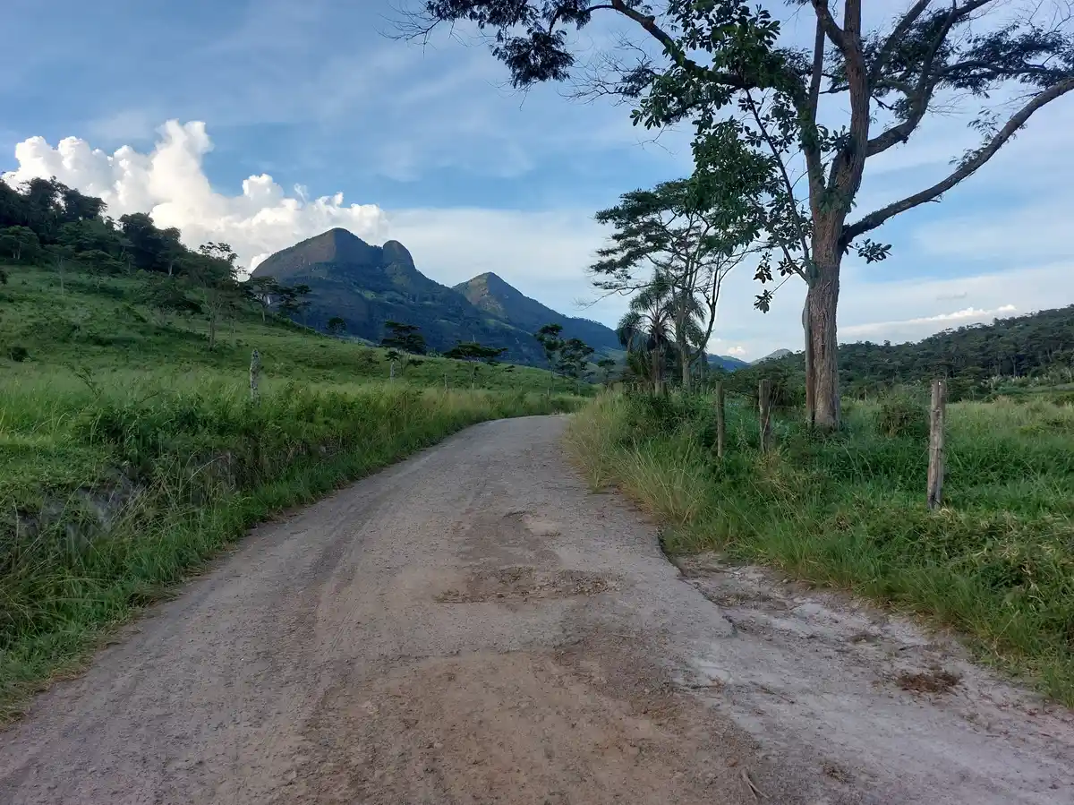
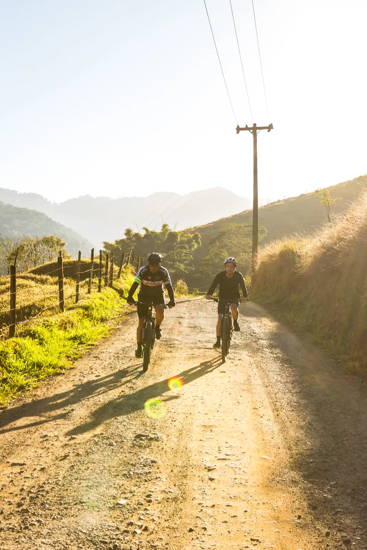
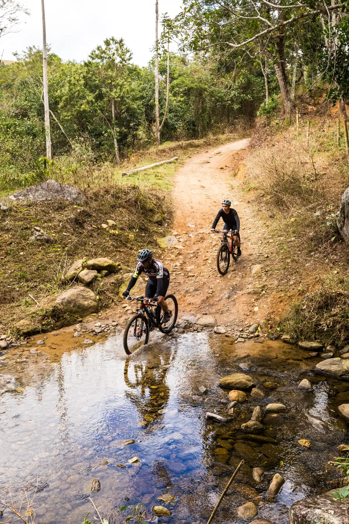
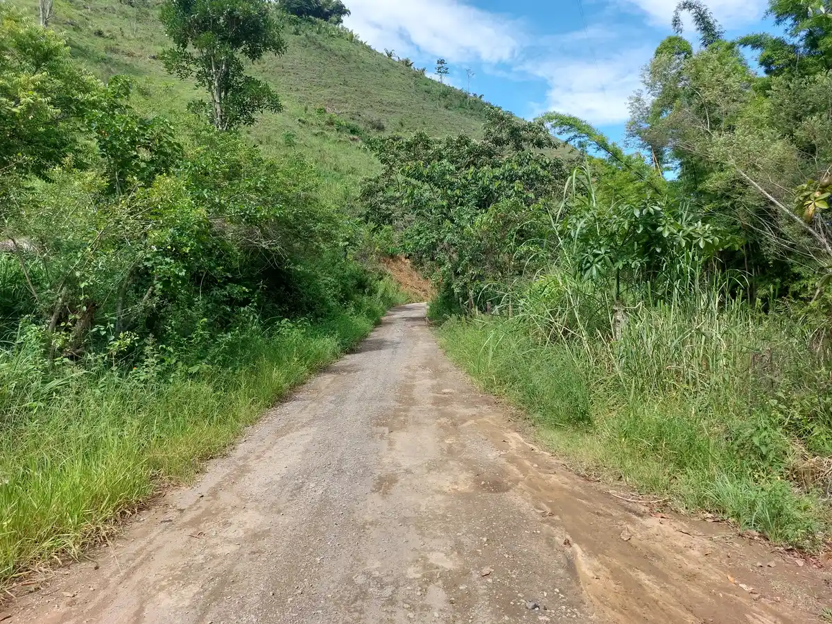
The Rio Claro Water Loop is a long-distance multimodal trail that passes through all districts of the municipality of Rio Claro, connecting the Center to the regions of Lídice, Macundu, Passa Três, São Roque, among others. Along the trail, cyclists encounter the rich water resources, historical, and cultural heritage of Rio Claro, exploring its waterfalls, the ruins of São João Marcos and Fazenda da Grama, various natural viewpoints, the famous Ribeirão das Lajes Reservoir, a rich avifauna, and much more. With 5 sections for bike touring, the Rio Claro Water Loop invites you to this memorable experience!
Activities

Activity Cycling
Time 14h 5m
Guidelines
 Extension: 149.4 Km
 Difficulty Moderate
 Orientation Moderate
 Signaling Level Partial
 Conservation Good
 Risk Exposure High
 Sun Exposure High
 Hydration Point Available
 Climbing No climbing required
 Minimum Altitude: 370m Maximum Altitude: 839m
 Negative Unevenness: 8028m
 Positive Unevenness: 8356m
What the trail offers
 Squares
 Reservoir
 Visitor Center
 Avifauna
 Community Tourism
 Waterfall
 Fauna
 Exhibition
 Viewpoints
 River
 Ruins
 Flora
 Archaeological Site
 Historic Building
What to see on the trail

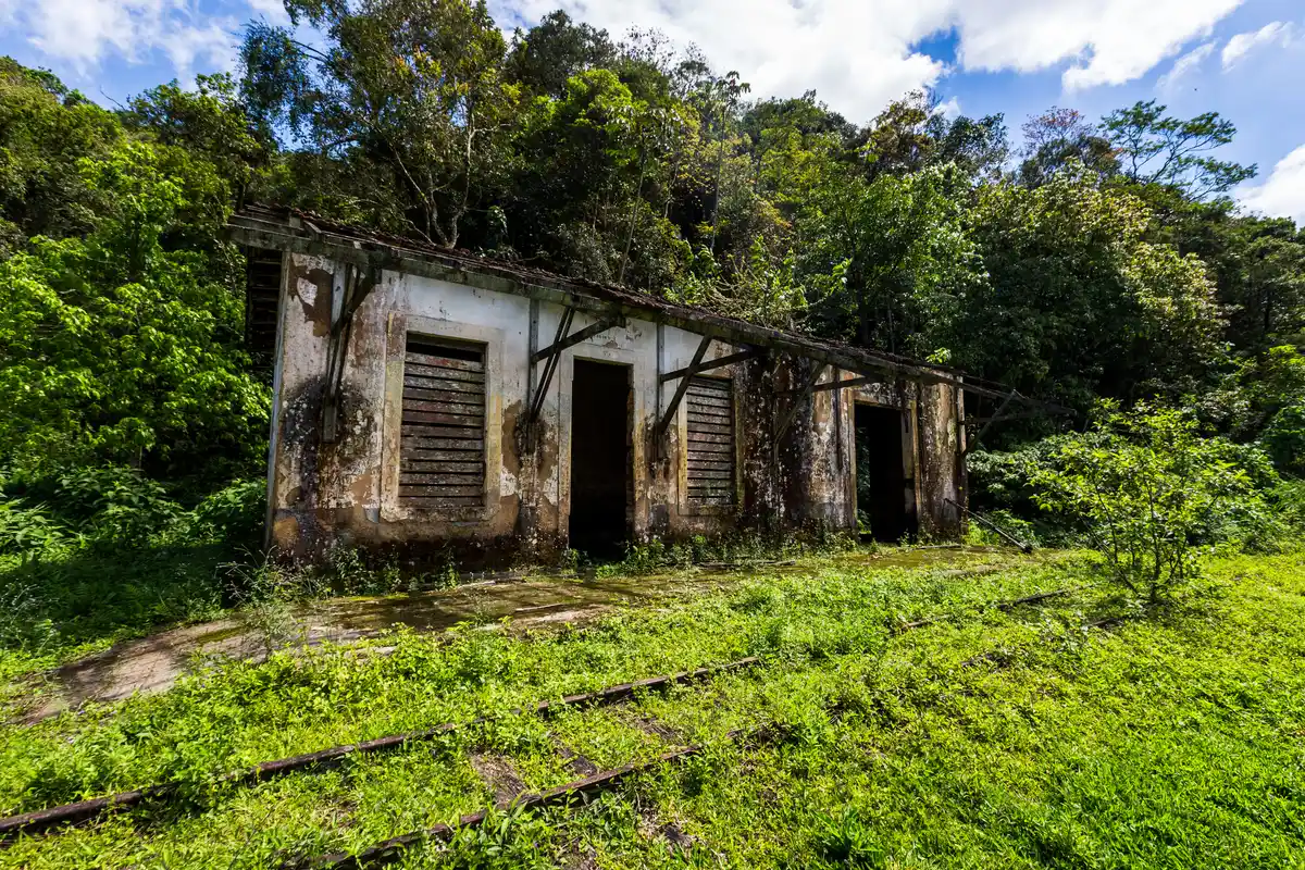
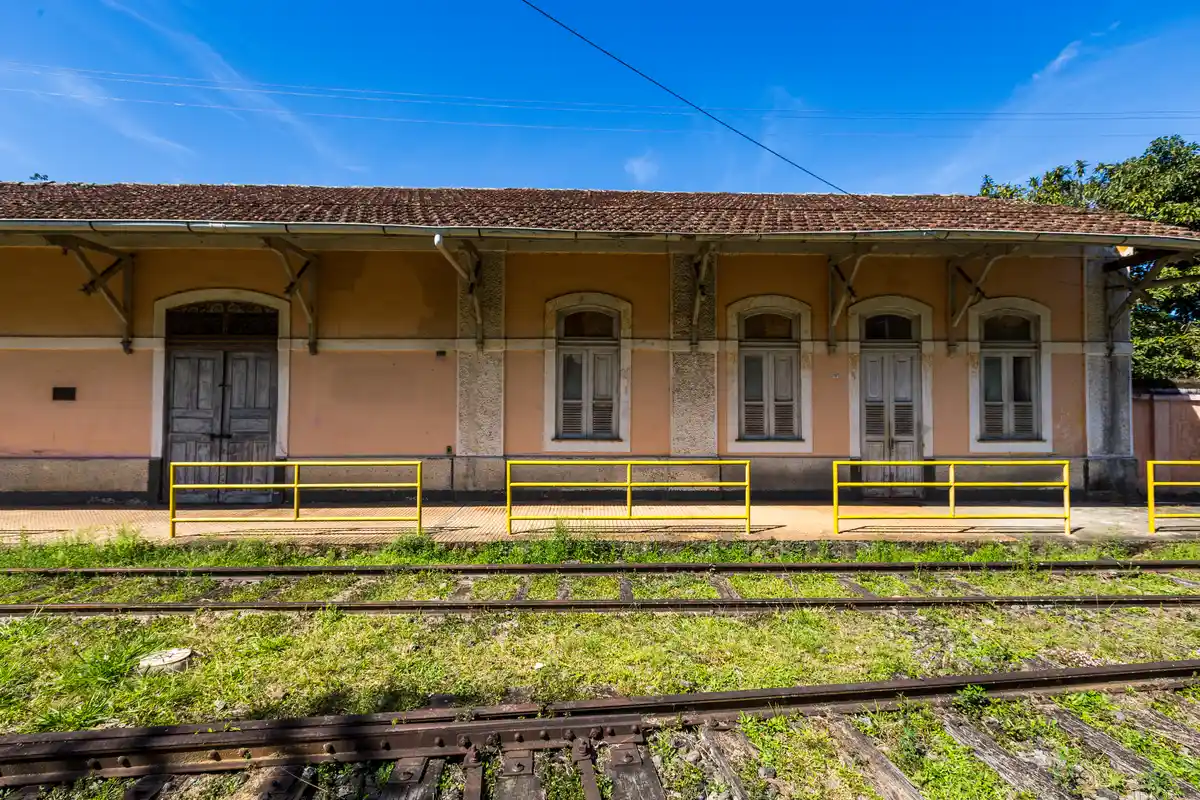
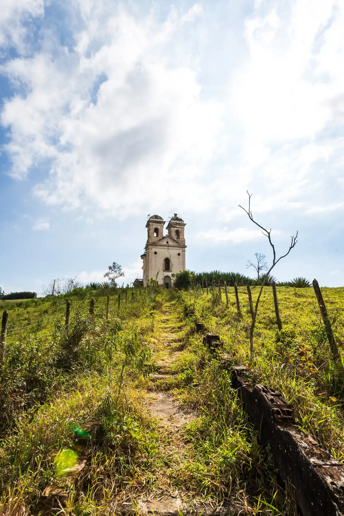
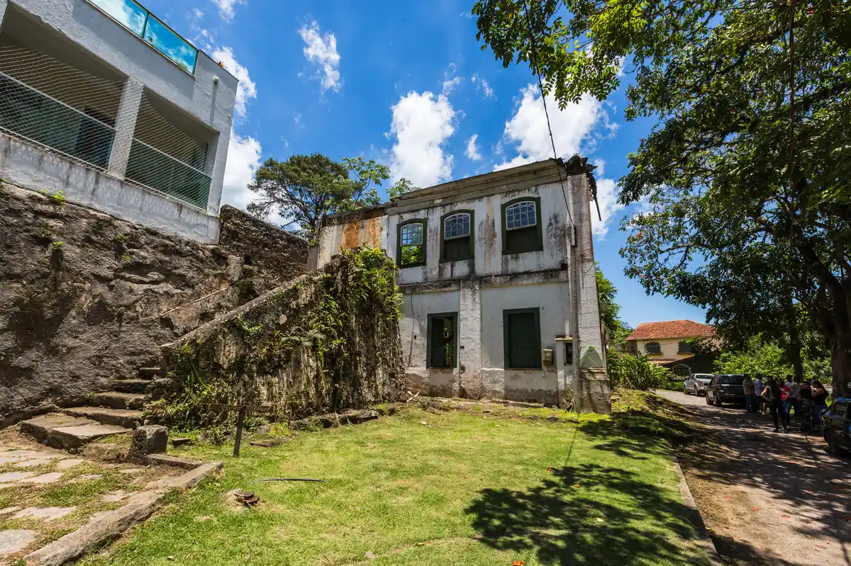

Discover the segments of Volta das Águas de Rio Claro (Cicloturismo)



Protected Areas where the Trail passes through


Map
Guidelines
Extension: 149.4 KmDifficulty: ModerateOrientation: ModerateSignaling Level: PartialMinimum Altitude: 370m Maximum Altitude: 839m Negative Unevenness: 8028m Positive Unevenness: 8356m 


