Agulhinha da Gávea
Description
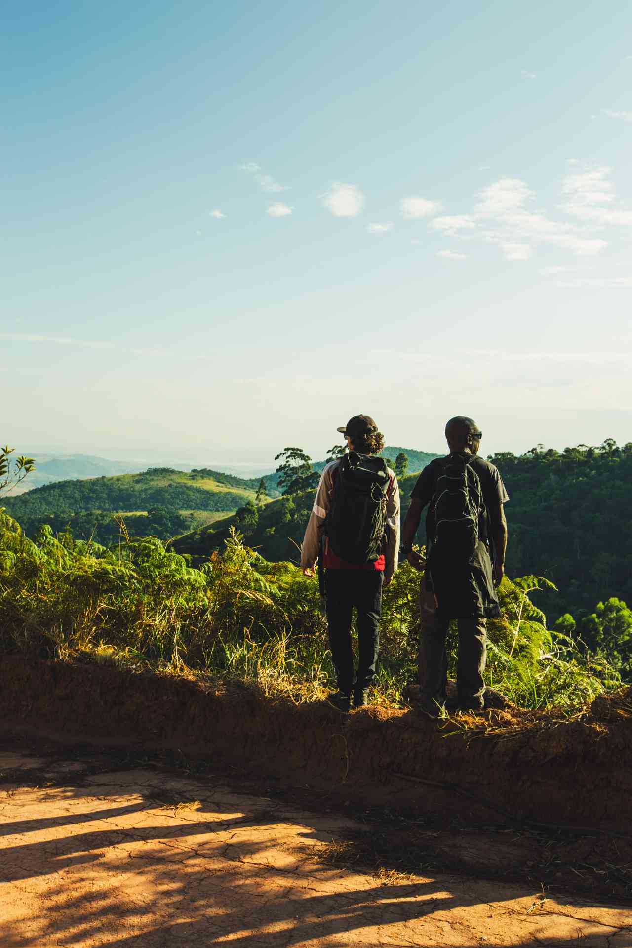
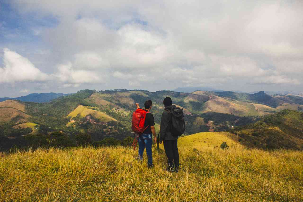
This trail is your opportunity to share the lush view that paragliding practitioners have of São Conrado beach and the southern zone of Rio de Janeiro. Its path is the same that leads to the ramp from where paragliders and hang gliders take off, coloring the sky of the neighborhood. With a short duration, the trail is easy, and a small "scramble" is the most difficult part of the path. This trail is frequently used by climbers who ascend the mountain via the rock to the summit and descend via the trail. The location has about 10 climbing routes. The mountain is also known as Pedra Aguda, named for its pointed shape. Agulhinha da Gávea is situated in the area of the Tijuca National Park near the sea, and its viewpoint offers views of the beach and the forest. From there, you can see Pedra da Gávea, Pedra Bonita, Morro Dois Irmãos, and the beaches of São Conrado, Leblon, and Ipanema.
Activities

Guidelines
 Extension: 1 Km
 Difficulty Easy
 Orientation Easy
 Signaling Level Complete
 Conservation Excellent
 Risk Exposure Low
 Sun Exposure Low
 Hydration Point Unavailable
 Climbing No climbing required
 Minimum Altitude: 521m Maximum Altitude: 610m
 Negative Unevenness: 72m
 Positive Unevenness: 72m
Attractions that the trail offers
 Fauna
 Viewpoints
 River
The trail is located in the following protected area



Warnings


Map
Guidelines
Extension: 1 KmDifficulty: EasyOrientation: EasySignaling Level: CompleteMinimum Altitude: 521m Maximum Altitude: 610m Negative Unevenness: 72m Positive Unevenness: 72m