Cachoeira do Ramalho
Description
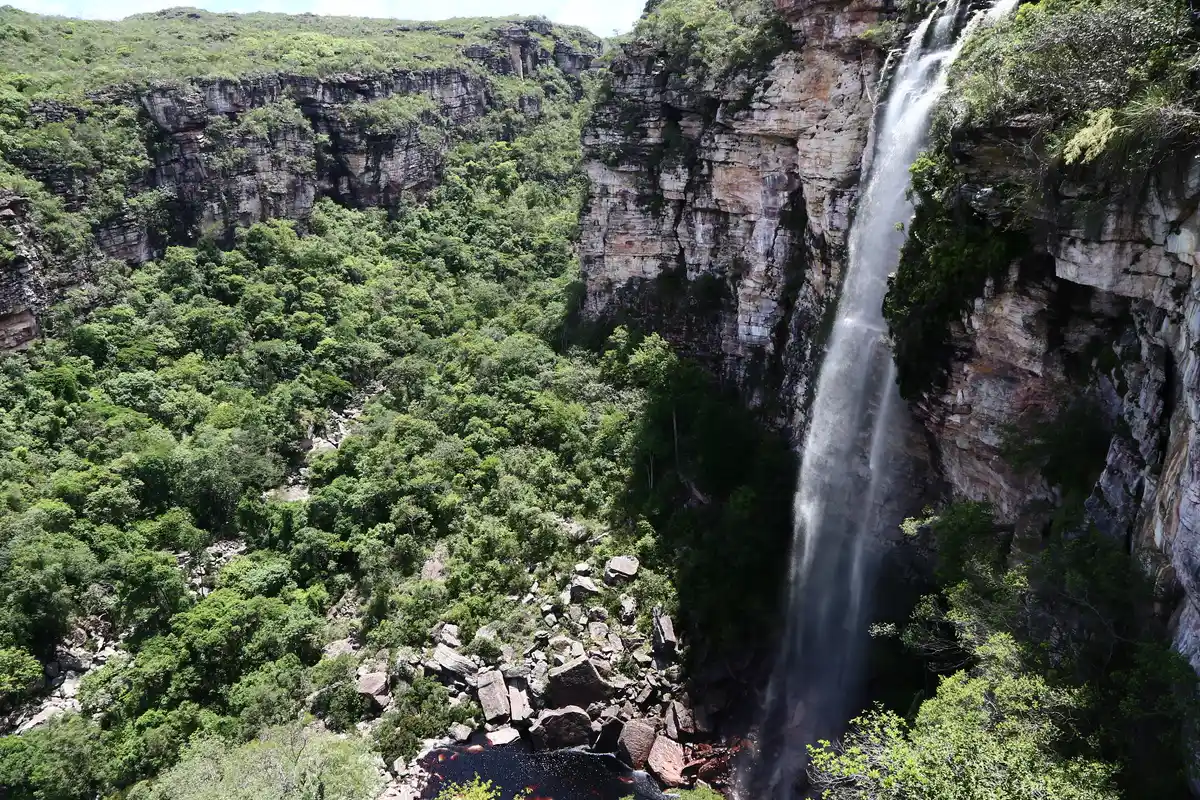
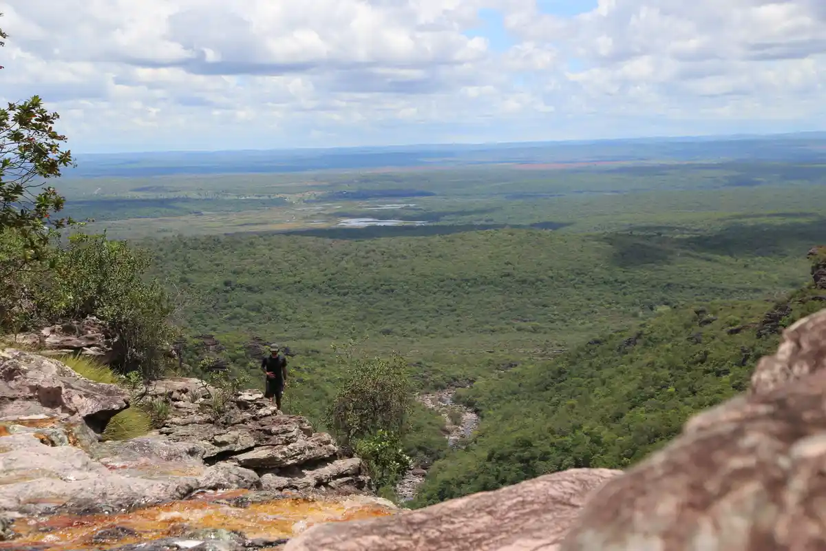
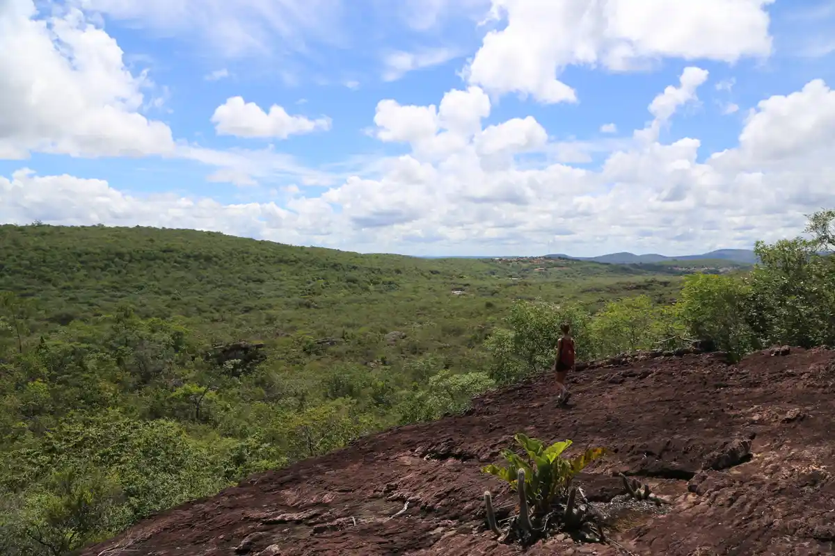
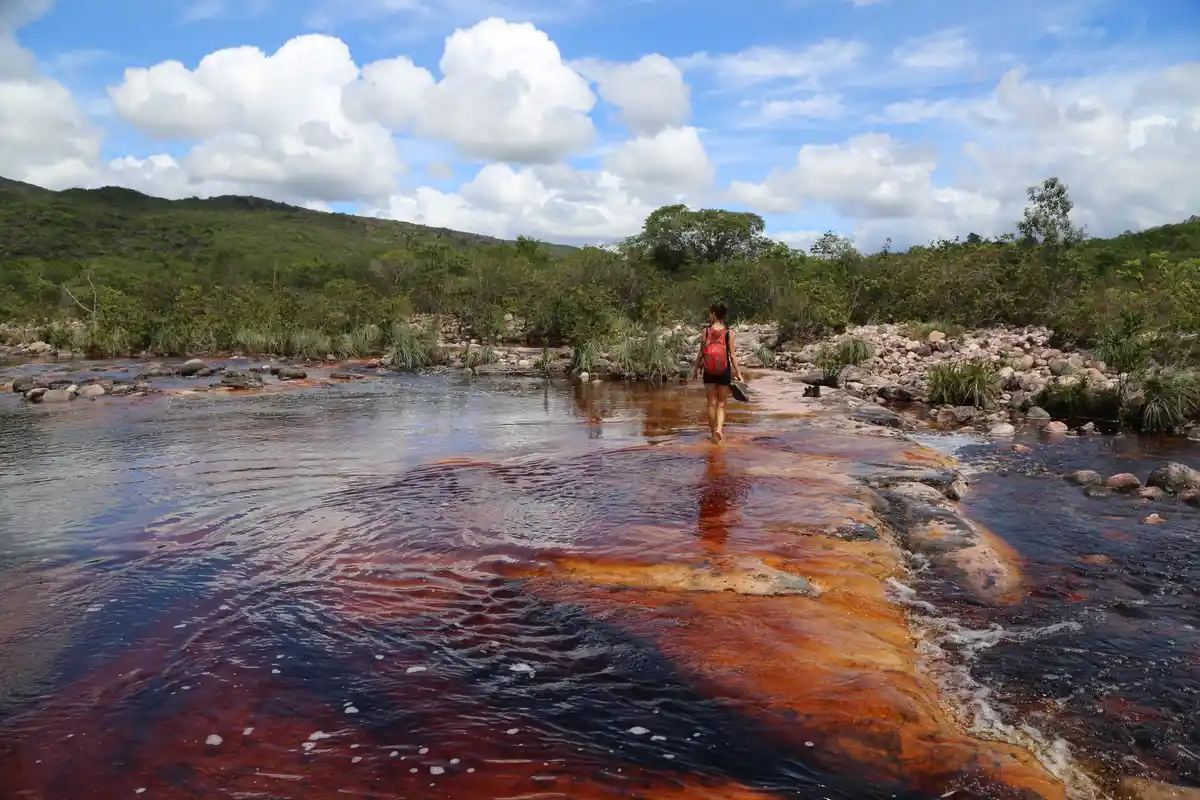
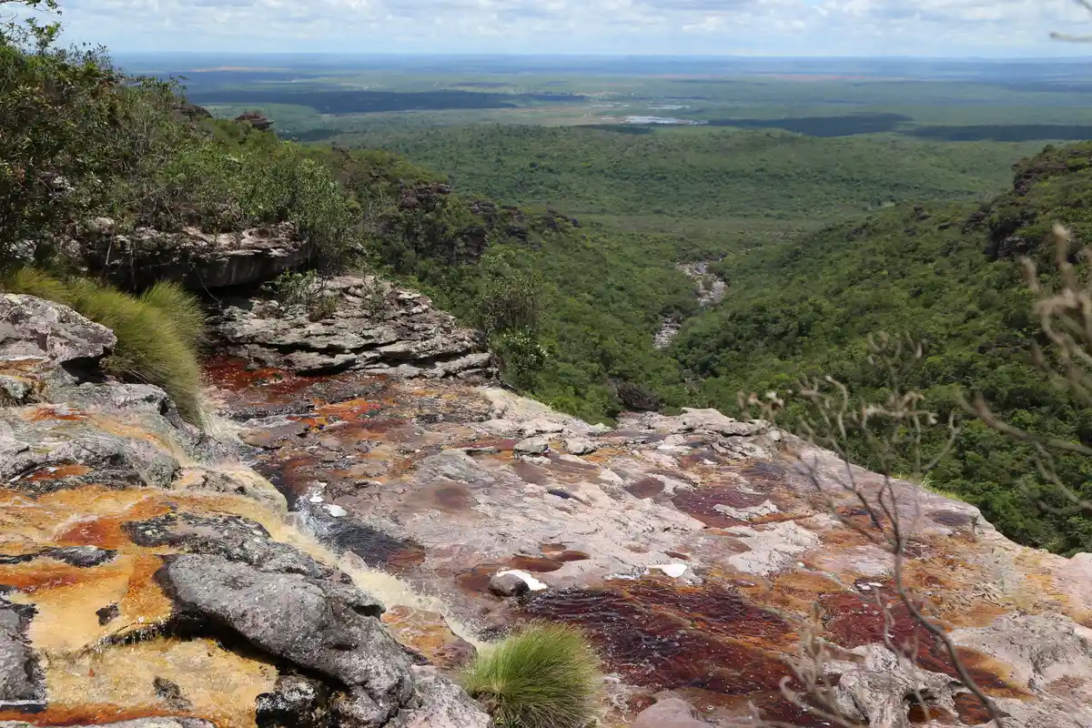
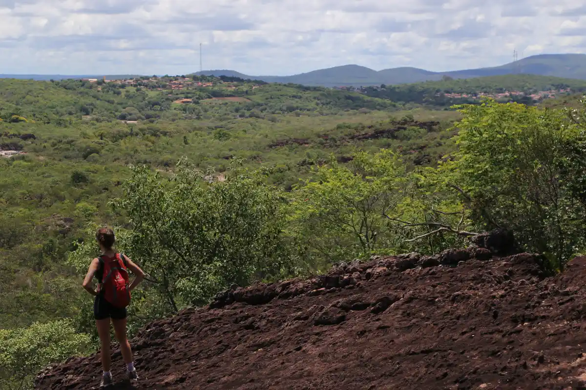
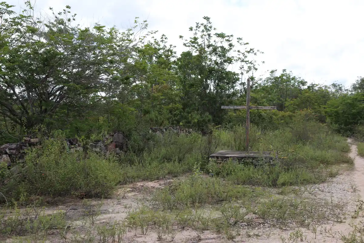
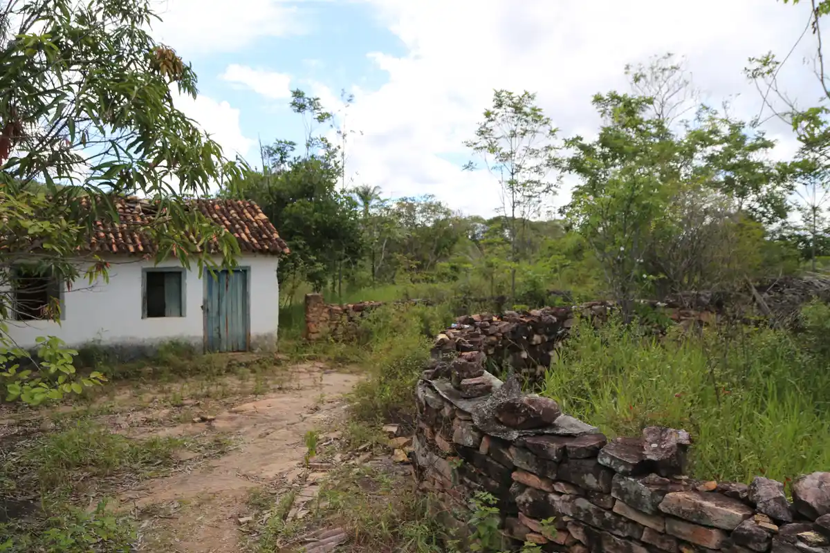
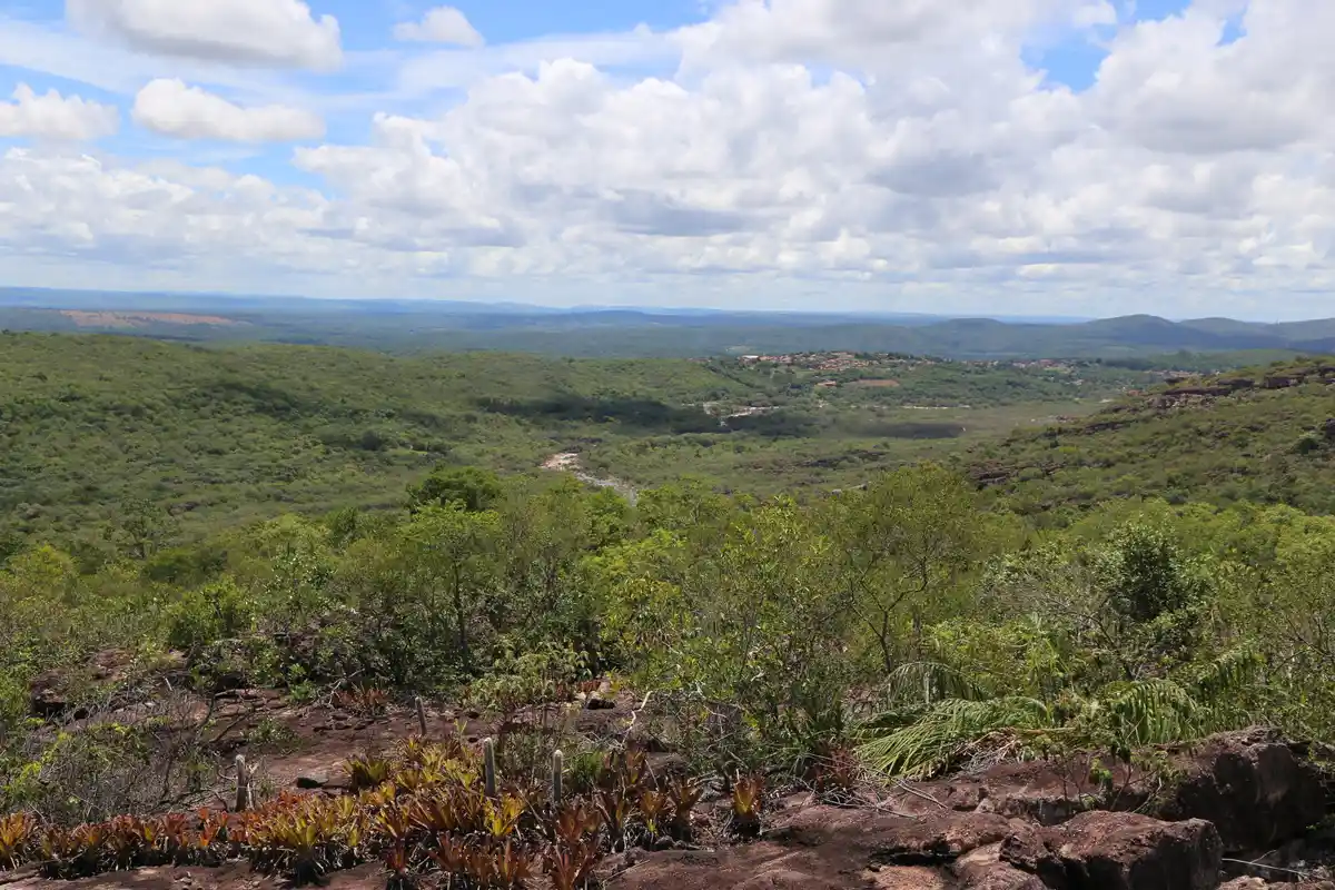
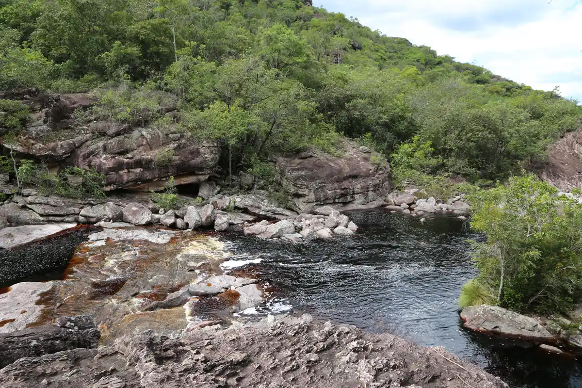
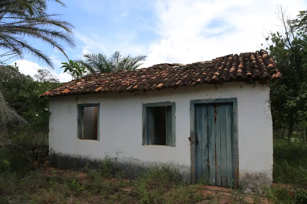
Cachoeira do Ramalho has a 90-meter free fall, with a spectacular viewpoint at its top and several swimming holes along the river. The trail is a circuit, with the ascent via the upper trail and the return following the bed of the Baiano River below. This is an old path that led drovers to the Vale do Pati, having been an area heavily exploited by mining. In addition to the majestic waterfall, various viewpoints and swimming holes, it is possible to see historical remnants from the mining era at various points. Photos: Vicente Leal E. Fernandez
Activities

Guidelines
 Extension: 9.02 Km
 Access status: Open
 Difficulty Moderate
 Orientation Hard
 Signaling Level NonExistent
 Conservation Bad
 Risk Exposure Medium
 Sun Exposure High
 Hydration Point Available
 Climbing No climbing required
 Minimum Altitude: 403m Maximum Altitude: 728m
 Negative Unevenness: 351m
 Positive Unevenness: 351m
Attractions that the trail offers
 Waterfall
 Viewpoints
 Ruins
 Flora
 Fauna
 River
The trail is located in the following protected area

Tips
The Ramalho Waterfall often runs dry during the dry season, so the best time to visit is in the summer. The circuit that leads to both the upper and lower parts of the waterfall has many forks and sections that are difficult to navigate. Hire a local guide if you choose to do the full circuit. Otherwise, take the trail in an out-and-back format, visiting only the lower part of the waterfall, as this option is easier to navigate.
Map
Guidelines
Extension: 9.02 KmDifficulty: ModerateOrientation: HardSignaling Level: NonExistentMinimum Altitude: 403m Maximum Altitude: 728m Negative Unevenness: 351m Positive Unevenness: 351m