Morro da Babilônia
Description
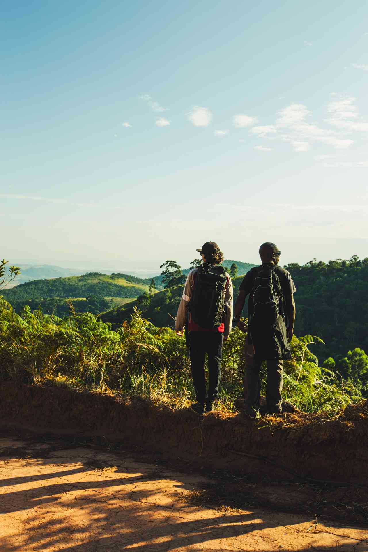
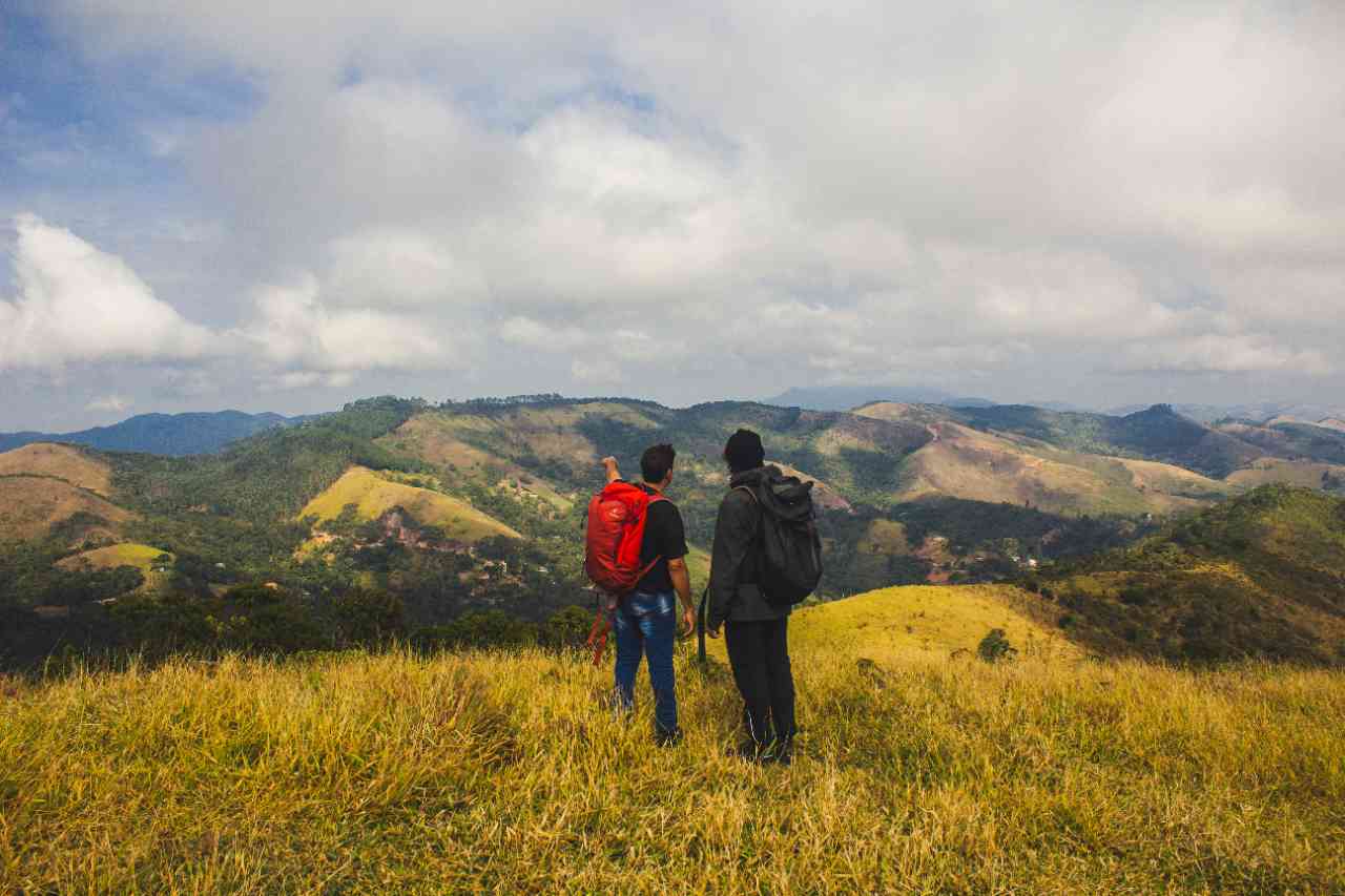
Beyond the landscapes, from Morro da Babilônia it is possible to see the contrasts of Rio de Janeiro. This trail offers a great opportunity to learn about the lifestyle of a resource-poor community that is rich in natural beauty - Chapéu Mangueira and Morro da Babilônia itself. There, it is the residents of the area who carry out the reforestation of the area and guide the trail. The trail is also rich in history. The top of Morro da Babilônia was a strategic military area for controlling the entry of vessels into Guanabara Bay. There are still some observation bunkers built during World War II, when Brazil was threatened by attacks from Nazi submarines. Other ruins are even older, likely from the same period as the Forte do Leme (1722).
Activities

Activity Hiking
Time 2h 0m
Guidelines
 Extension: 1.2 Km
 Difficulty Easy
 Orientation Easy
 Signaling Level Complete
 Conservation Excellent
 Risk Exposure Low
 Sun Exposure Low
 Hydration Point Unavailable
 Climbing There is
 Minimum Altitude: 48m Maximum Altitude: 250m
 Negative Unevenness: 200m
 Positive Unevenness: 160m
Video
Attractions that the trail offers
 Viewpoints
 Ruins
The trail is located in the following protected area


Johnathan Monteiro 09/10/2022
Melhor vista da Praia Vermelha com o imponente Pão de Açúcar ao fundo. Simplesmente sensacional! 🥾⛰️

Otto Polastri 23/07/2021
Vale a pena, porque a vista lá de cima é de tirar o fôlego (literalmente)!!

Enzo Polastri 07/07/2021
Fui com mais dois amigos mas quando vimos que quase não tinha sinalização procuramos pelos guias locais.

Gabriella Brettas 15/05/2021
A vista é muito bonita e dá pra ver toda a enseada de Botafogo. Não sei como é o acesso sem o acompanhamento da CoopBabilônia, pois por conta de alguns conflitos que infelizmente ainda ocorrem nas comunidades do rj é indicado fazer com os moradores.
Warnings

Others
23/07/2021

Others
07/07/2021

Others
15/05/2021
Map
Guidelines
Extension: 1.2 KmDifficulty: EasyOrientation: EasySignaling Level: CompleteMinimum Altitude: 48m Maximum Altitude: 250m Negative Unevenness: 200m Positive Unevenness: 160m