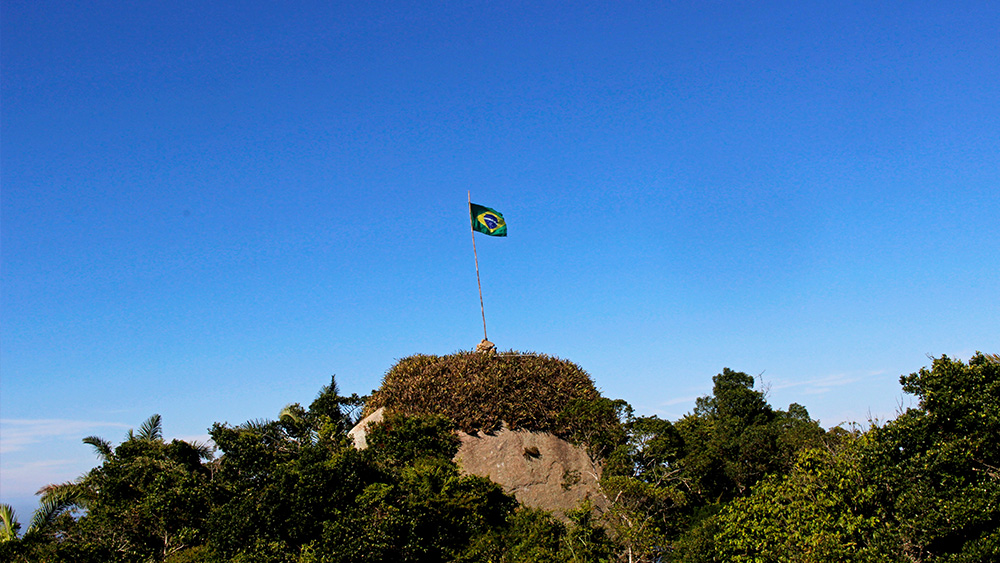
Pedra do Telégrafo
Description
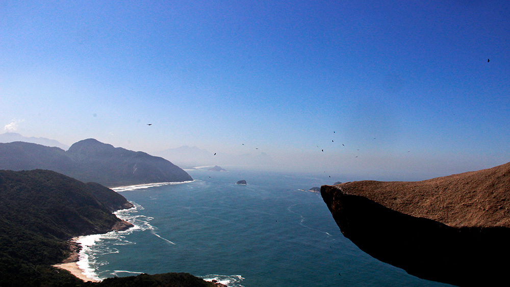
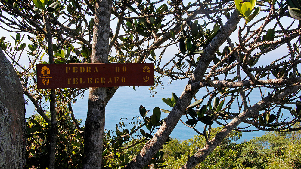
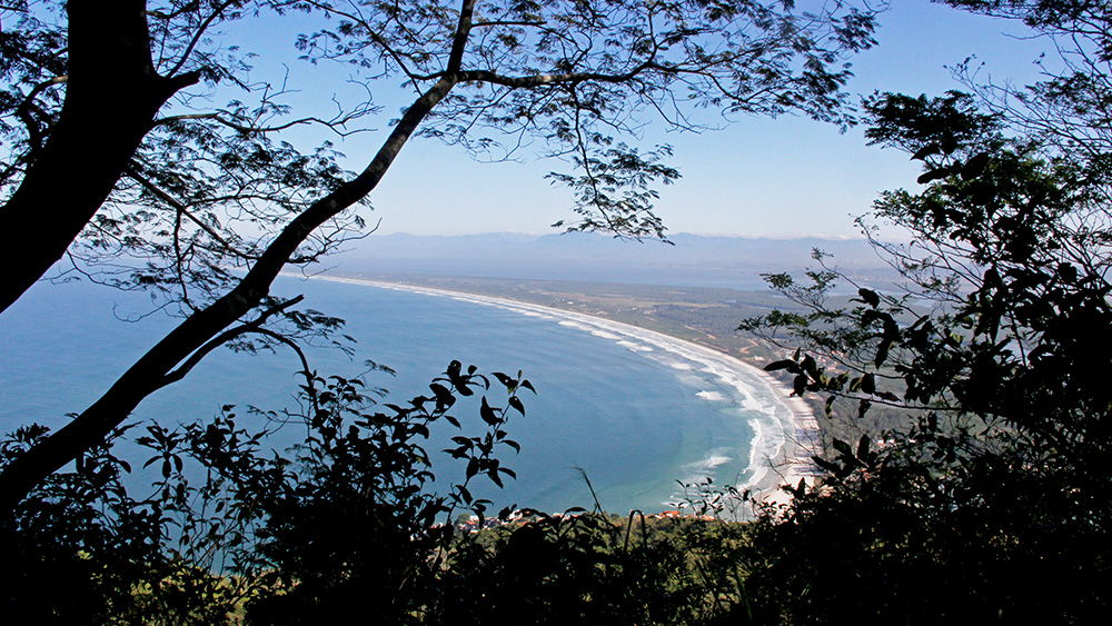
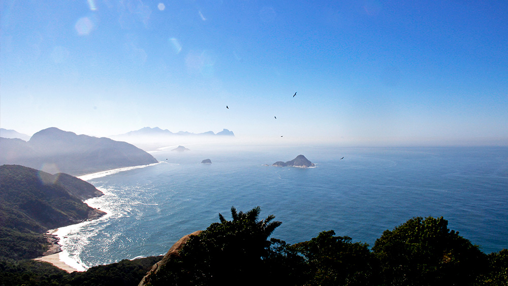
You have certainly seen the view from this trail in photos on social media, where people appear to be hanging over an abyss. Known as Telegraph Stone, the spot that has made the trails famous is called Anvil Stone. The images, however, are nothing more than an optical illusion: below the rock, it is possible to stand. The location is called Morro de Guaratiba, but it is known as Telegraph Stone due to a forward observation post with radio for submarine monitoring and attack prevention that was established there during World War II. The summit offers views of the Wild Beaches of Rio and the Restinga do Marambaia, one of the largest beaches on the Brazilian coast. The mountains of Tijuca National Park and Pedra Branca Park also make up the landscape. The trail is located within the area of Pedra Branca State Park. The hike begins next to the moto-taxi point, near a military barracks at Praia de Guaratiba. There is also the option to take a moto-taxi to a trail access point and from there walk 30 minutes to the top of the formation.
Activities

Guidelines
 Extension: 3.12 Km
 Difficulty Easy
 Orientation Easy
 Signaling Level Complete
 Conservation Excellent
 Risk Exposure Low
 Sun Exposure Low
 Hydration Point Unavailable
 Climbing There is
 Minimum Altitude: 79m Maximum Altitude: 343m
 Negative Unevenness: 245m
 Positive Unevenness: 245m
Attractions that the trail offers
 Viewpoints
The trail is located in the following protected area




Map
Guidelines
Extension: 3.12 KmDifficulty: EasyOrientation: EasySignaling Level: CompleteMinimum Altitude: 79m Maximum Altitude: 343m Negative Unevenness: 245m Positive Unevenness: 245m