Pico da Tijuca + Tijuca Mirim
Description
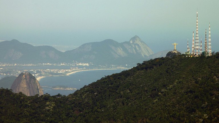
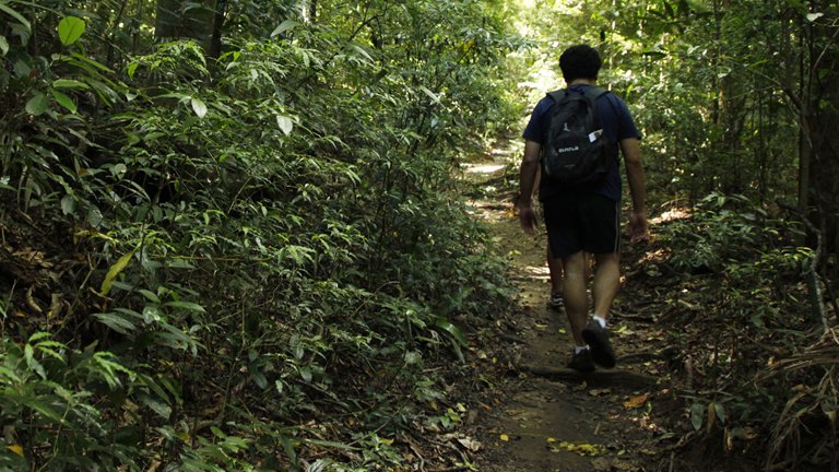
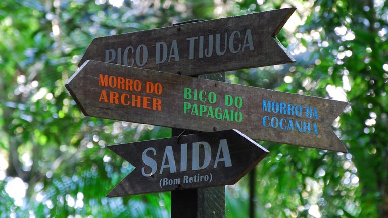
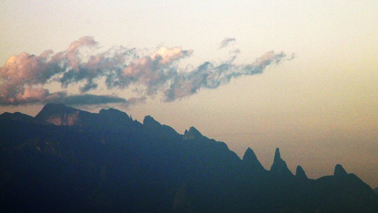
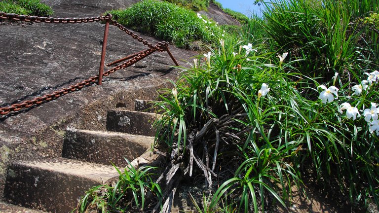
This trail is one of the landmarks of ecotourism in Rio de Janeiro. The oldest record of the existence of this trail dates back to 1853, and the first signage to assist mountaineers was made in 1885. 117 stone steps make up the final stage of the trail, which has different historical versions. One hypothesis involves the visit of King Albert of Belgium to Brazil in 1920 at the invitation of then-President Epitácio Pessoa. The King enjoyed the outdoor lifestyle of the city, took sea baths, and sought to get closer to nature whenever protocol allowed. On one of his outings, the monarch went to the Tijuca Forest after a period of rain and ended up climbing the Peak, much to the despair of the sedentary entourage accompanying him. Legends say that, being a mountaineer, the King found the construction of a staircase an affront and did not use it to reach the summit, leaving the entire local elite behind, astonished. Pico da Tijuca, at an altitude of 1,022m, is the highest point in the Tijuca Forest and the second highest in Rio. From there, the entire city can be seen. At a fork from the main trail to Pico da Tijuca, you can reach a smaller peak, Tijuca-Mirim, with an altitude of 917m, which is also very beautiful. It can be an option for those with lower physical conditioning as it is easier than the rest of the trail to Pico da Tijuca.
Activities

Guidelines
 Extension: 3.28 Km
 Difficulty Easy
 Orientation Easy
 Signaling Level Complete
 Conservation Excellent
 Risk Exposure Low
 Sun Exposure Low
 Hydration Point Unavailable
 Climbing There is
 Minimum Altitude: 660m Maximum Altitude: 1019m
 Negative Unevenness: 356m
 Positive Unevenness: 356m
Video
Attractions that the trail offers
 Fauna
 Viewpoints
 Ruins
The trail is located in the following protected area




Warnings
Map
Guidelines
Extension: 3.28 KmDifficulty: EasyOrientation: EasySignaling Level: CompleteMinimum Altitude: 660m Maximum Altitude: 1019m Negative Unevenness: 356m Positive Unevenness: 356m