Pico do Tabuleiro
Description
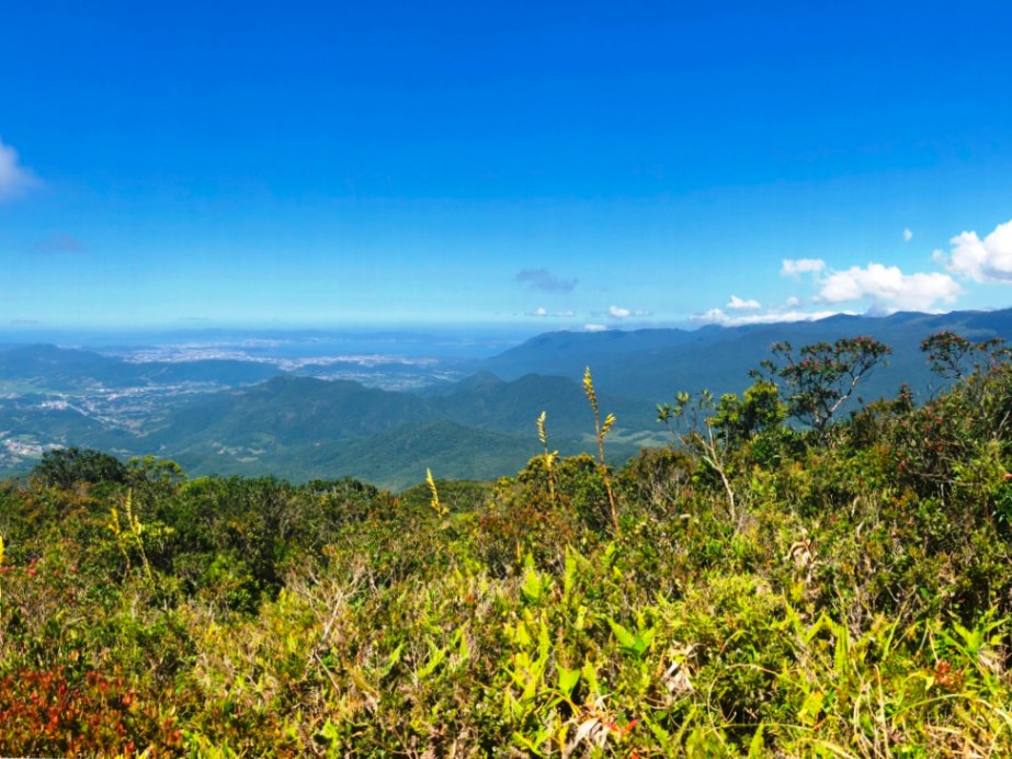
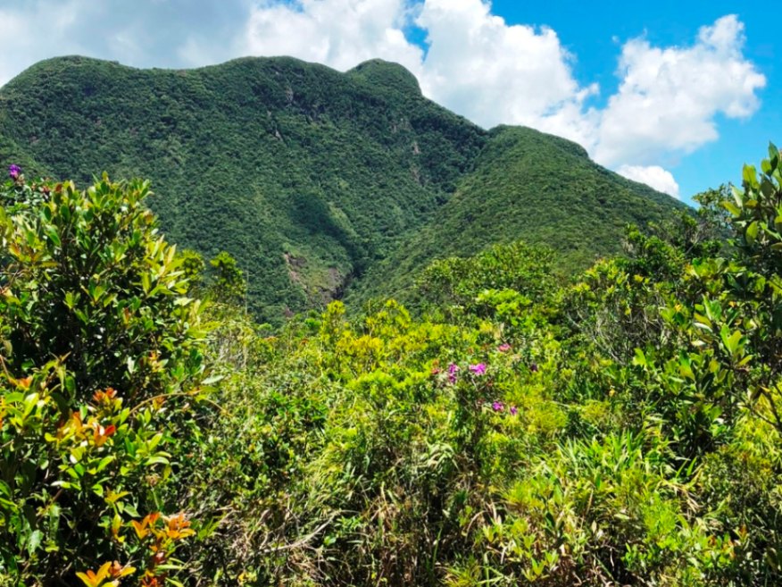
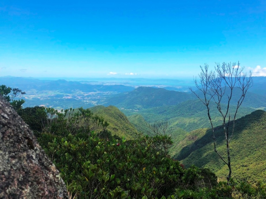
Located in the Serra do Tabuleiro State Park, Tabuleiro Peak is the highest point in Greater Florianópolis. From the top, it is possible to see the entire Santa Catarina Island, Morro do Cambirela, and a good part of the Serra Geral. Depending on the weather conditions, even Morro da Igreja and Morro da Boa Vista can be seen in the distance. Tabuleiro Peak gets its name from the flat shape of its summit, which resembles a table and can be seen from all over the capital of Santa Catarina.
Activities

Activity Hiking
Time 8h 0m
Guidelines
 Extension: 13.21 Km
 Difficulty Moderate
 Orientation Easy
 Signaling Level Partial
 Conservation Good
 Risk Exposure Medium
 Sun Exposure Low
 Hydration Point Available
 Climbing There is
 Minimum Altitude: 151m Maximum Altitude: 1251m
 Negative Unevenness: 1144m
 Positive Unevenness: 1144m
Attractions that the trail offers
 Viewpoints
The trail is located in the following protected area


Edézio Ambiental 10/04/2025
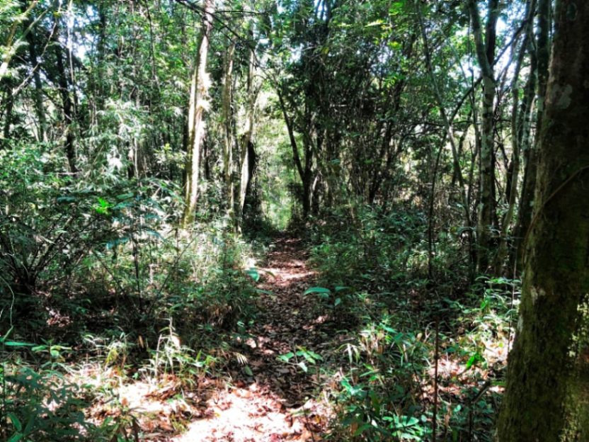
Água só na base e depois nos primeiros 20 min inicial. Tempo total de subida é em torno de 4 horas. Não tem água potável no cume. Não é fácil como esta no descritivo é uma trilha bem desgastante, devido o longo trecho de subida no meio de um bambuzal.
bom deixar alerta aos iniciantes usar peneiras.
Map
Guidelines
Extension: 13.21 KmDifficulty: ModerateOrientation: EasySignaling Level: PartialMinimum Altitude: 151m Maximum Altitude: 1251m Negative Unevenness: 1144m Positive Unevenness: 1144m