Praias Selvagens da Ponta de Guaratiba
Description
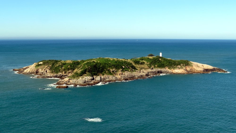
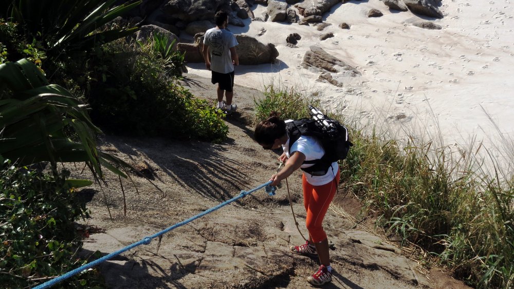
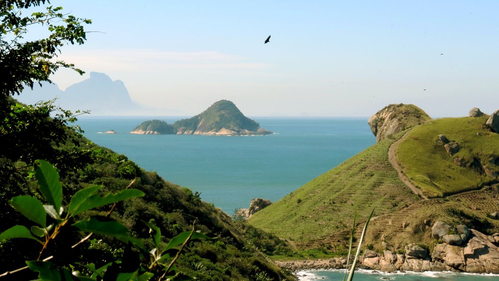
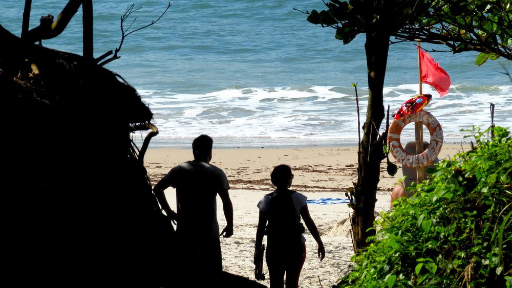
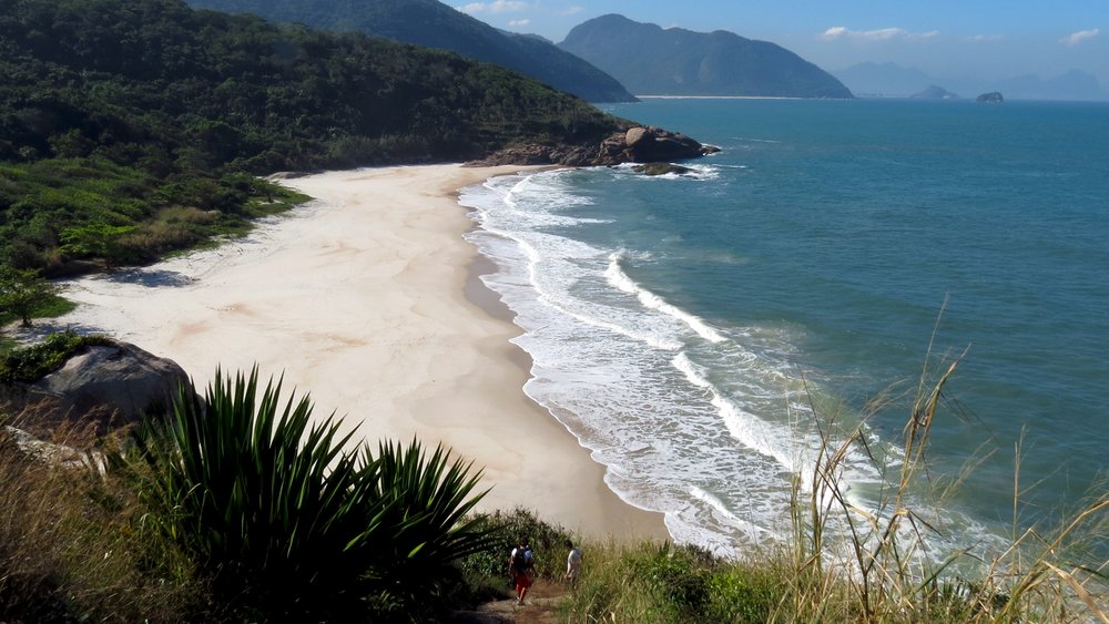
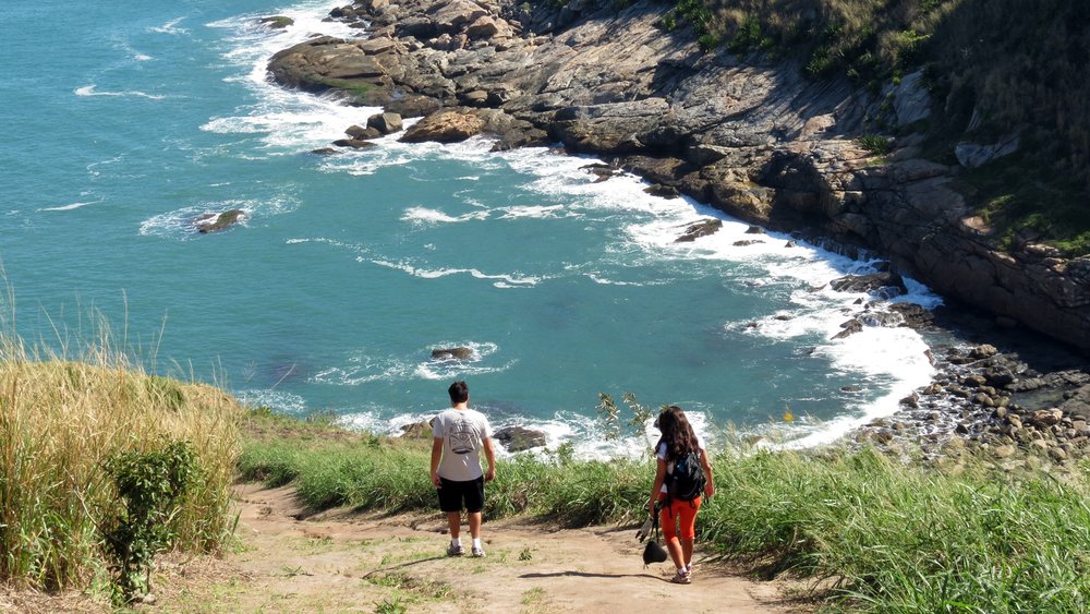
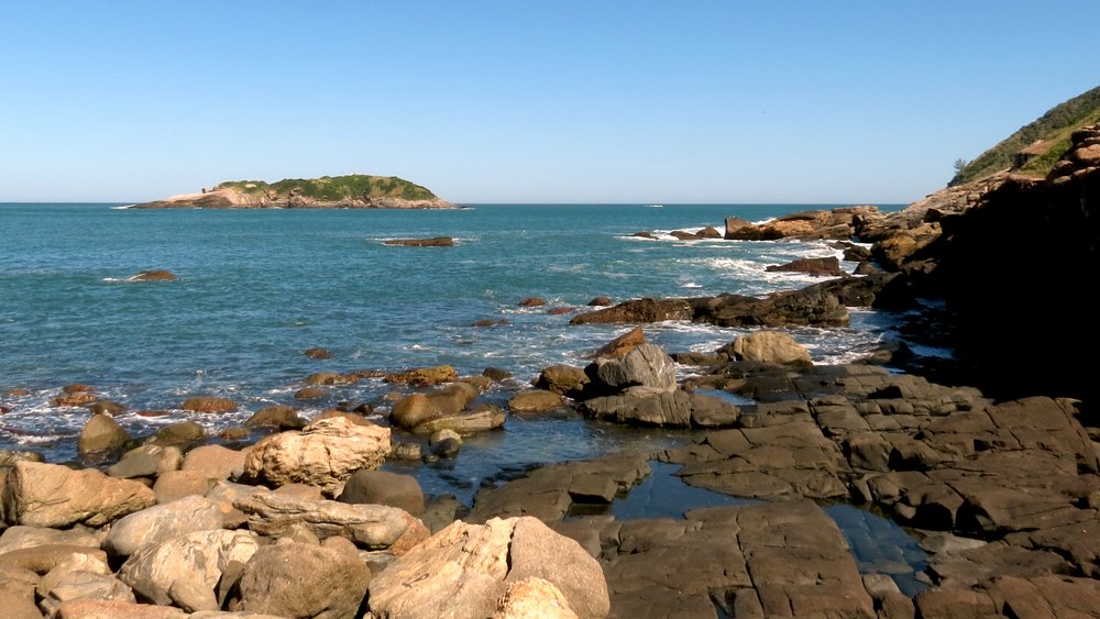
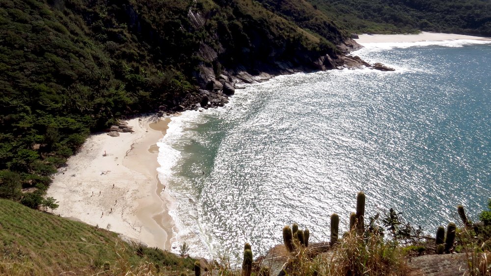
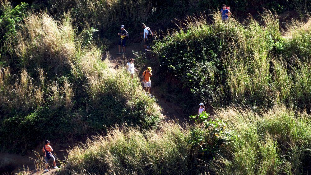
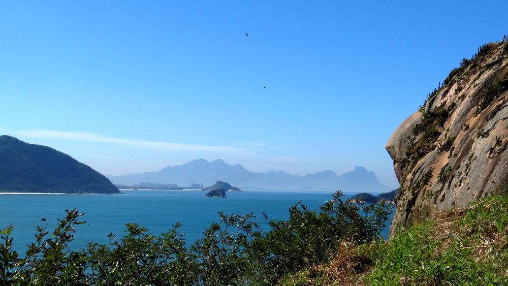
A treasure for those seeking adventure, hidden by Morro de Guaratiba and quite distant from the center of Rio de Janeiro, the beaches of Búzios, Perigoso, do Meio, Funda, and do Inferno are wild beaches. Being in the area of the Pedra Branca State Park - Guaratiba Biological Reserve, they are protected, and even camping is prohibited. The trail starts at the end of Barra de Guaratiba and traverses the 5 beaches. Along the way, there is a fork that leads to Pedra da Tartaruga, offering a panoramic view of Ilha Rasa and the beaches. Some companies offer rappelling from the top of Pedra da Tartaruga. In the past, these beaches were the scene of a French invasion led by the privateer Jean-François Duclerc. The first attack on Rio was repelled by the fortresses at the entrance of Guanabara Bay, causing Duclerc to head to Ilha Grande, where he plundered sugar mills. On his return, he landed with 1000 men on the beaches of Ponta de Guaratiba. The Portuguese forces defended the city, and Duclerc ended up being killed by the guard officer who was holding him in custody, presumably for getting involved with the officer's wife. Years later, Duguai-Trouin, another French privateer, claiming a right to revenge, managed to pass through the fortresses and took the city, causing many deaths and imposing a heavy ransom.
Activities

Guidelines
 Extension: 4.77 Km
 Difficulty Moderate
 Orientation Moderate
 Signaling Level Complete
 Conservation Good
 Risk Exposure Medium
 Sun Exposure High
 Hydration Point Unavailable
 Climbing No climbing required
 Minimum Altitude: 0m Maximum Altitude: 99m
 Negative Unevenness: 528m
 Positive Unevenness: 496m
Video
Attractions that the trail offers
 Fauna
 Viewpoints
The trail is located in the following protected area


Map
Guidelines
Extension: 4.77 KmDifficulty: ModerateOrientation: ModerateSignaling Level: CompleteMinimum Altitude: 0m Maximum Altitude: 99m Negative Unevenness: 528m Positive Unevenness: 496m