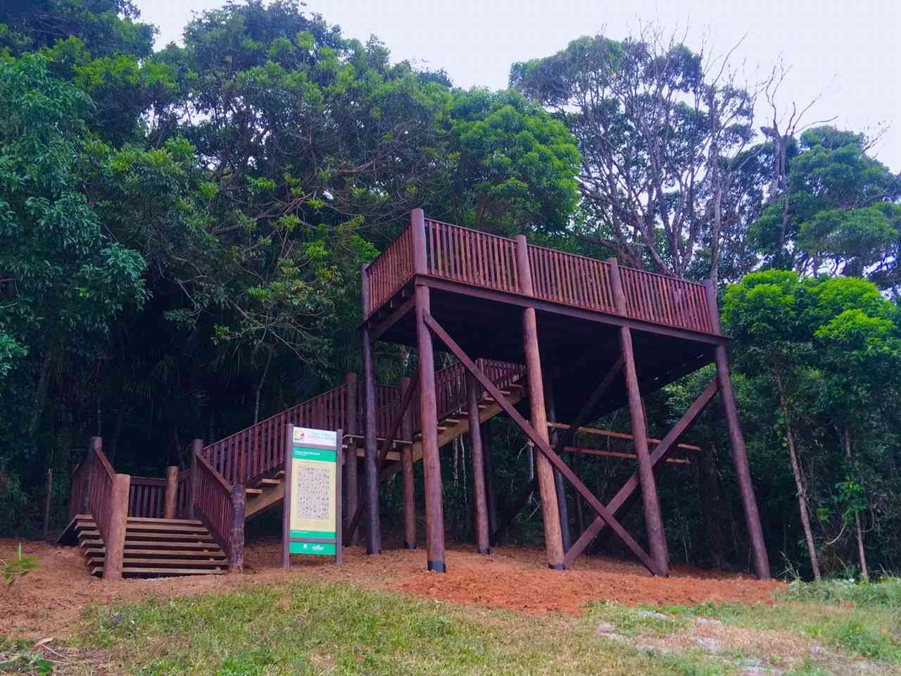
Rampa de Voo Boiçucanga e Plataforma de Observação de Aves
Description
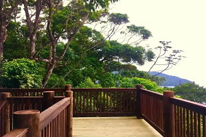
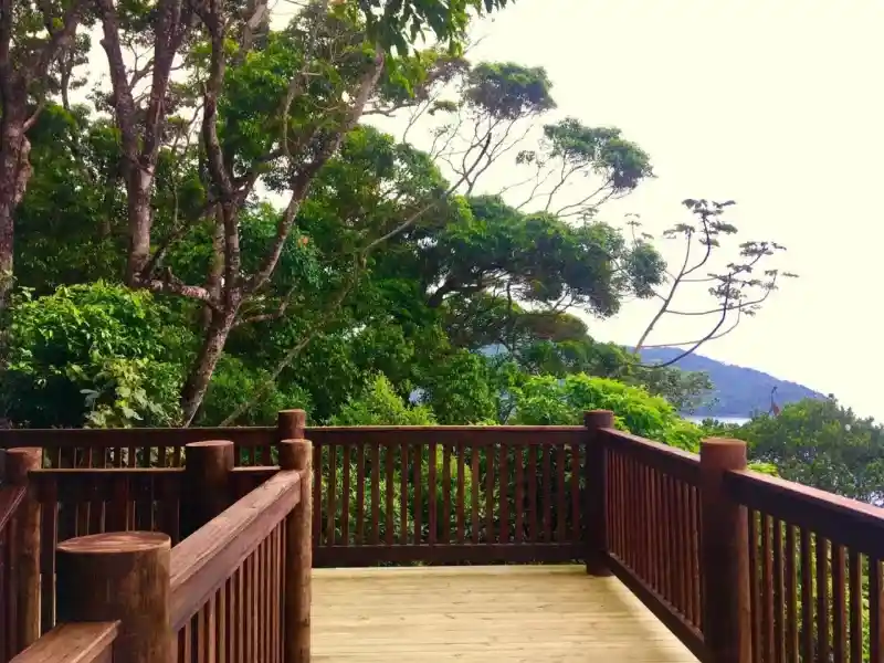
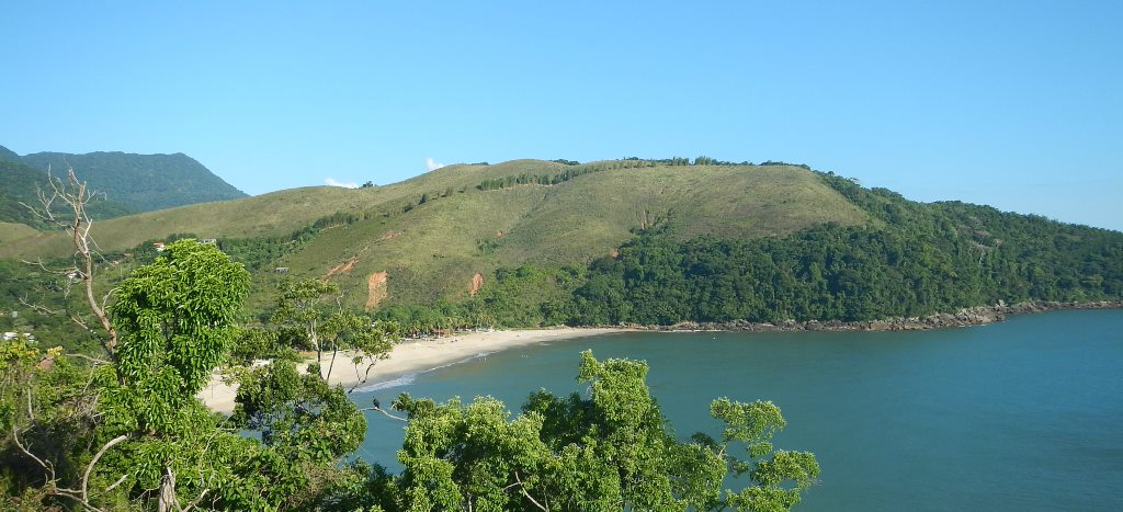
With approximately 300 meters in length, it is about 100 meters above sea level, a perfect place to contemplate nature, including forest and marine birds, as well as the beautiful landscape.
Activities

Activity Hiking
Time 1h 0m
Guidelines
 Extension: 0.5 Km
 Difficulty Easy
 Orientation Easy
 Signaling Level Complete
 Conservation Excellent
 Risk Exposure Medium
 Sun Exposure Medium
 Hydration Point Unavailable
 Climbing No climbing required
 Minimum Altitude: 63m Maximum Altitude: 130m
 Negative Unevenness: 47m
 Positive Unevenness: 47m
Attractions that the trail offers
 Fauna
 Viewpoints
The trail is located in the following protected area
Map
Guidelines
Extension: 0.5 KmDifficulty: EasyOrientation: EasySignaling Level: CompleteMinimum Altitude: 63m Maximum Altitude: 130m Negative Unevenness: 47m Positive Unevenness: 47m