The Black Tusk
Description
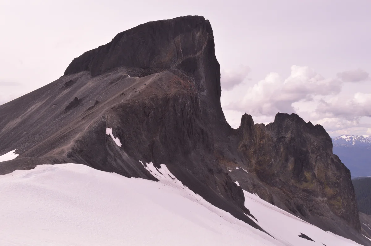
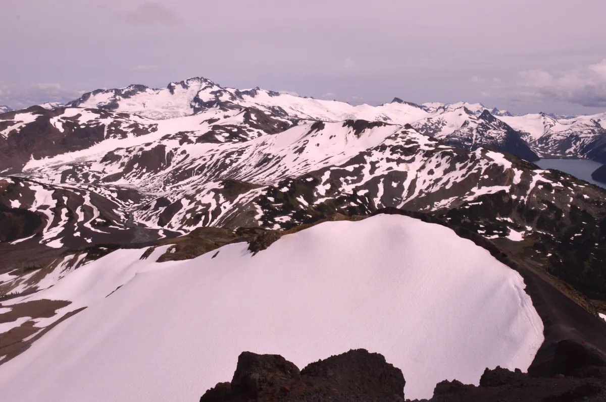
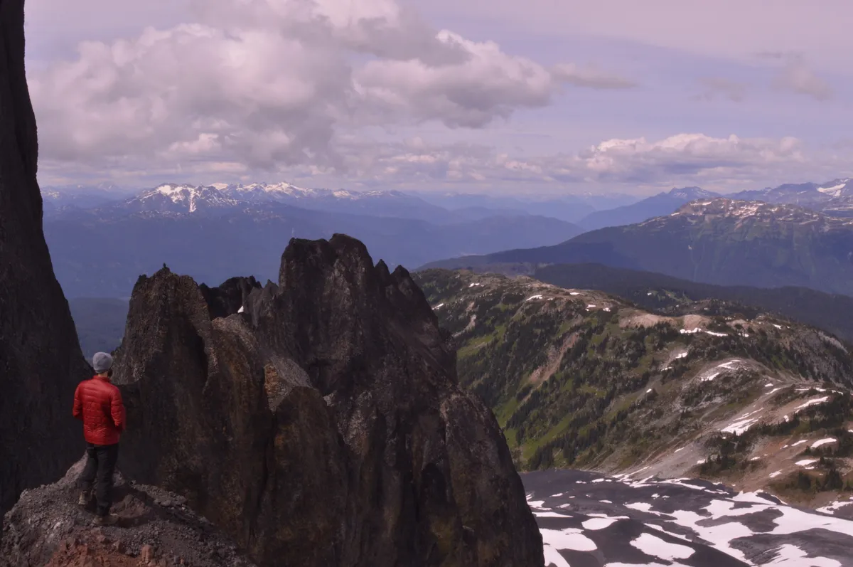
The Black Tusk is one of the most iconic summits in Garibaldi Provincial Park and the entire southwestern region of British Columbia. At 2,319 m in elevation, the Black Tusk is a stratovolcano formed about 200,000 years ago, characterized by its dark, irregular, and rocky appearance that rises above the neighboring mountains and stands out as one of the most imposing geological formations in the region. Along with Panorama Ridge and Garibaldi Lake, the trail to Black Tusk is among the most popular trails in Garibaldi Park, traversing coniferous forests, alpine meadows, and turquoise-colored glacial lakes, culminating in an impressive volcanic formation that offers a panoramic view of 360°. The hike to the summit demands a lot from the hiker, especially in its final stretch to the base of the summit, where the trail becomes quite steep and occurs over gravel slopes and loose rocks, in poorly marked sections. Despite its nearly 30 km length, many visitors complete the hike in just one day, often combining it with a visit to Garibaldi Lake. Another option is to split the journey into two days, using the camping areas at Garibaldi Lake or Taylor Meadows. Photos by Vicente Leal E. Fernandez.
Activities

Guidelines
 Extension: 26.2 Km
 Access status: Open
 Difficulty Hard
 Orientation Easy
 Signaling Level Complete
 Conservation Excellent
 Risk Exposure Medium
 Sun Exposure High
 Hydration Point Available
 Climbing No climbing required
 Minimum Altitude: 584m Maximum Altitude: 2031m
 Negative Unevenness: 1746m
 Positive Unevenness: 1746m
Attractions that the trail offers
 Peak
 Lake
 Rock Formations
 Flora
 Fauna
 Viewpoints
Tips
A good option is to take a circuit. After navigating the zigzag curves at the beginning of the trail, at the fork between Taylor Meadows and Garibaldi Lake, follow the path to Taylor Meadows. Further along, ignore the detour to Garibaldi Lake and continue on the Helm Creek trail towards Black Tusk. On the return, use the access to Garibaldi Lake before heading back to the parking lot via the main lake trail. This way, you can experience the main attractions of the area in a single hike, reducing the repetition of sections. Website for camping reservations and additional information: https://bcparks.ca/garibaldi-park/
Map
Guidelines
Extension: 26.2 KmDifficulty: HardOrientation: EasySignaling Level: CompleteMinimum Altitude: 584m Maximum Altitude: 2031m Negative Unevenness: 1746m Positive Unevenness: 1746m