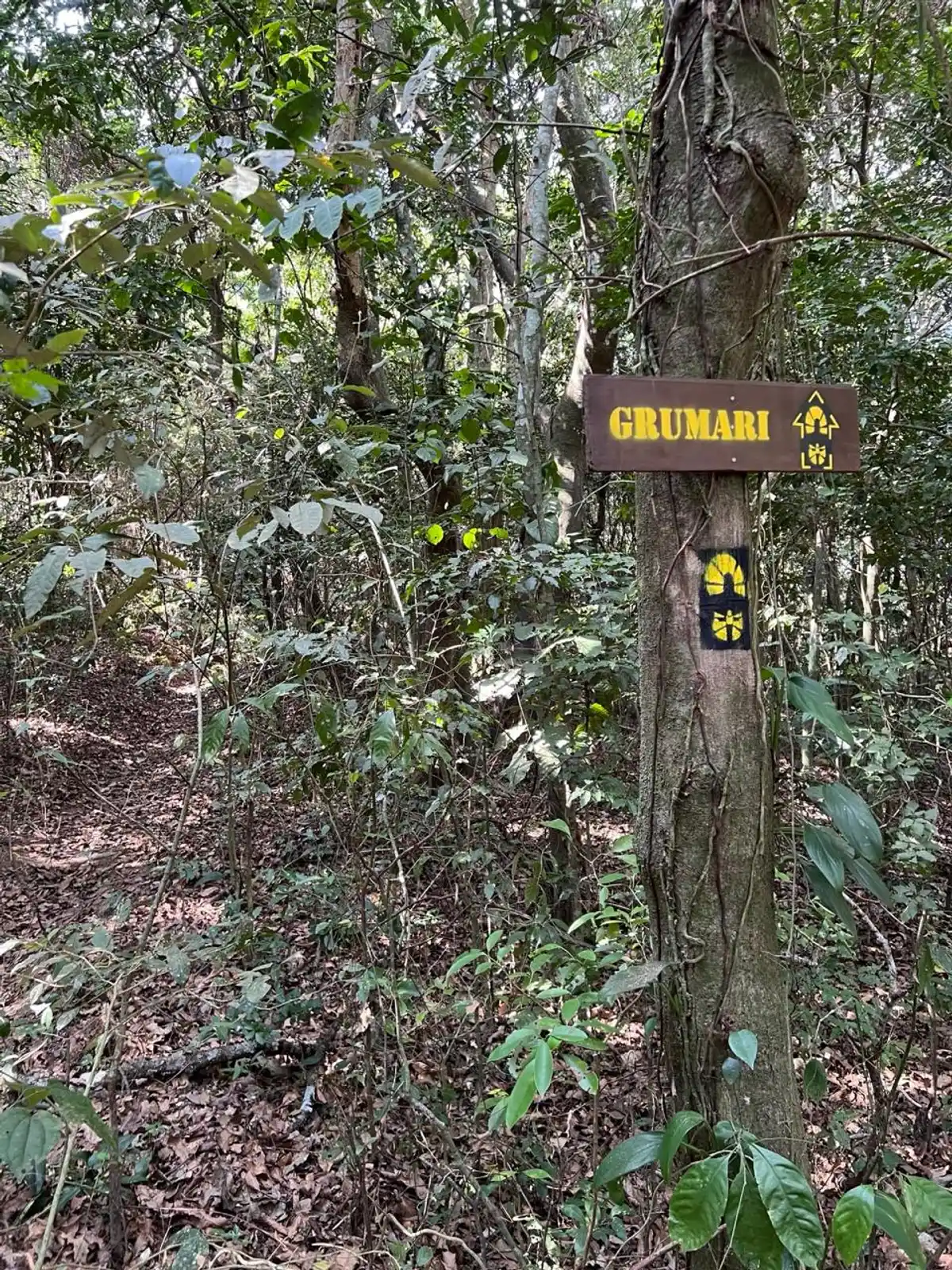
Trecho 01 - Barra de Guaratiba x Grumari

4.7

Description

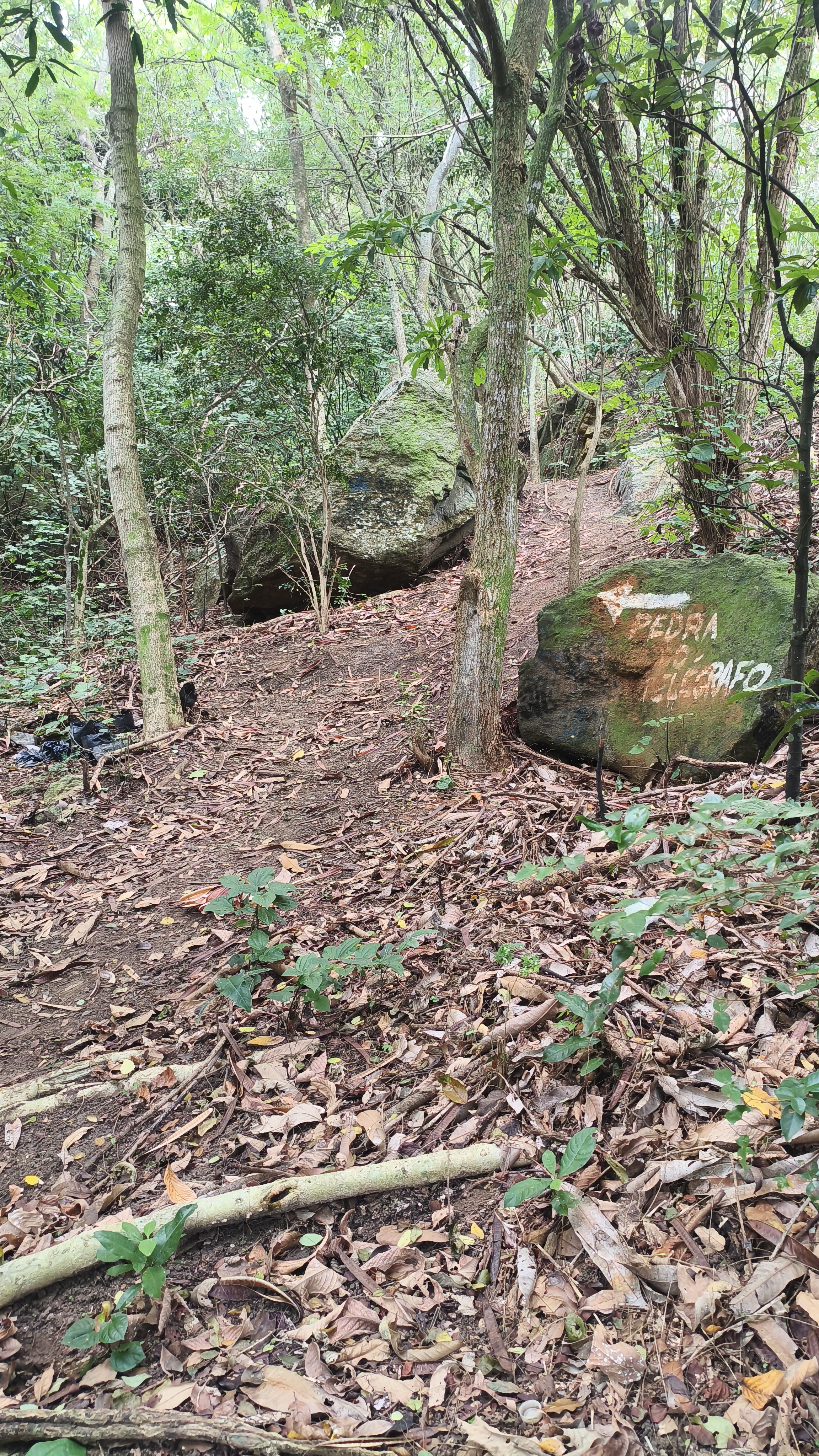
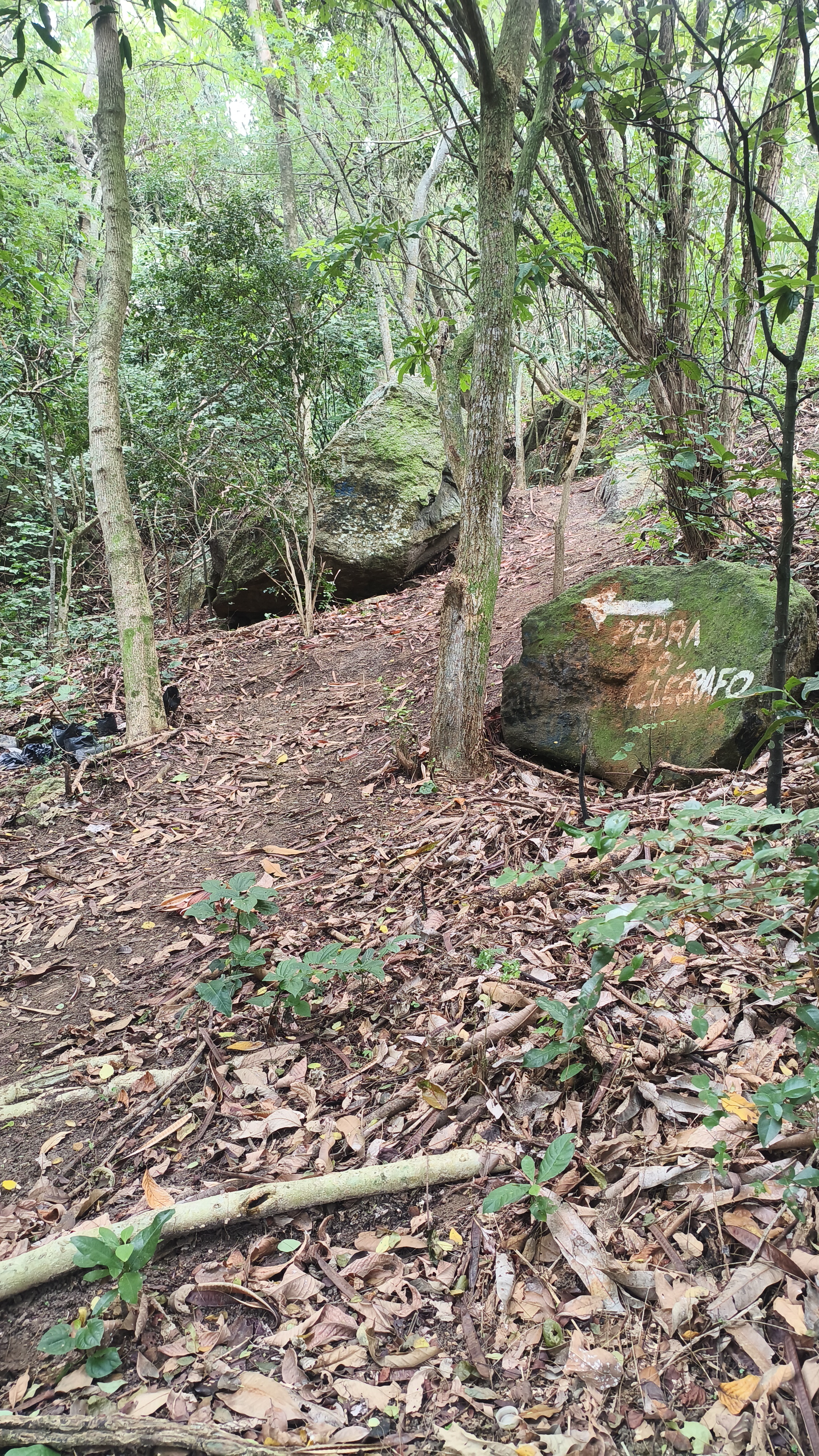
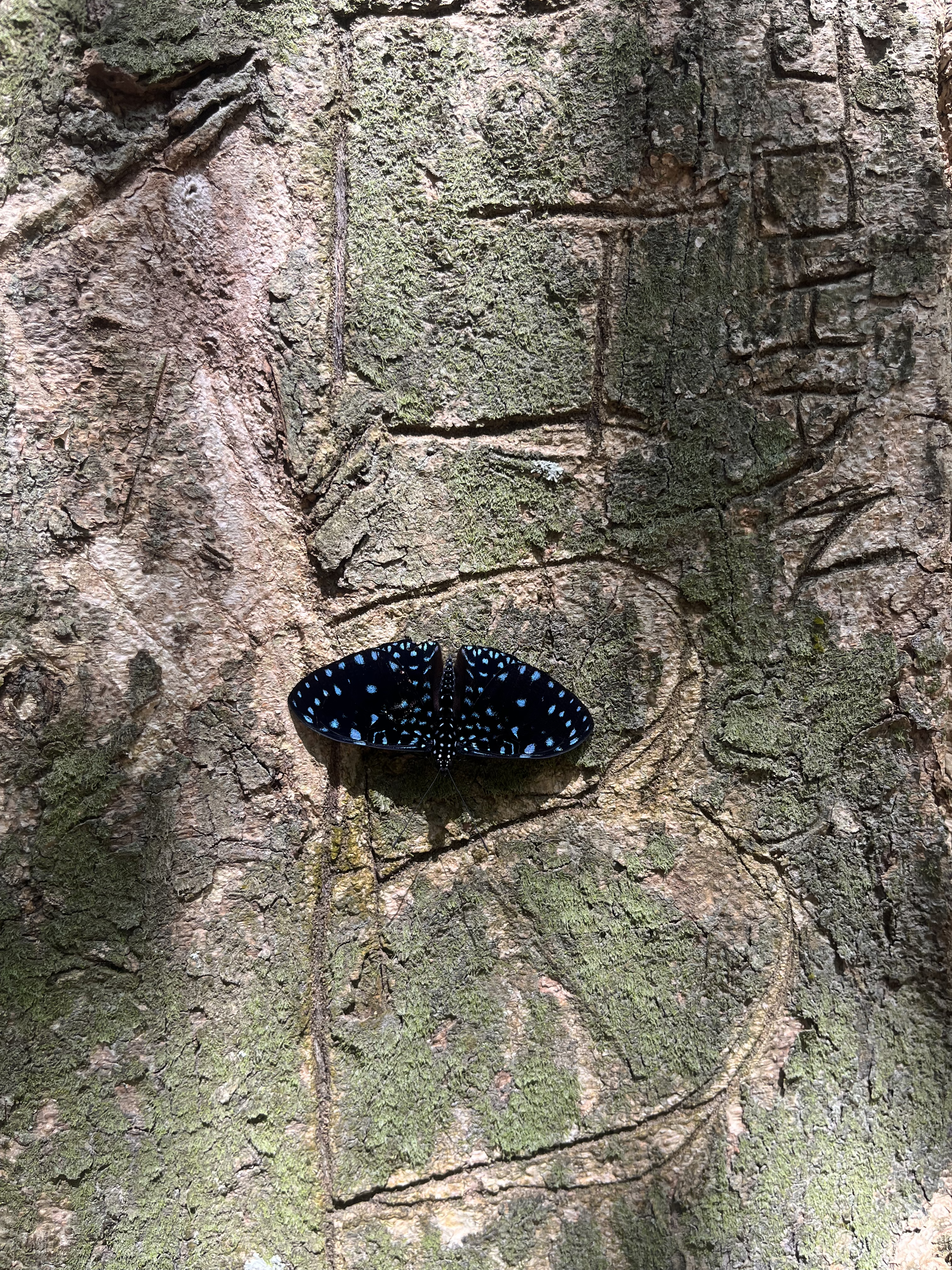
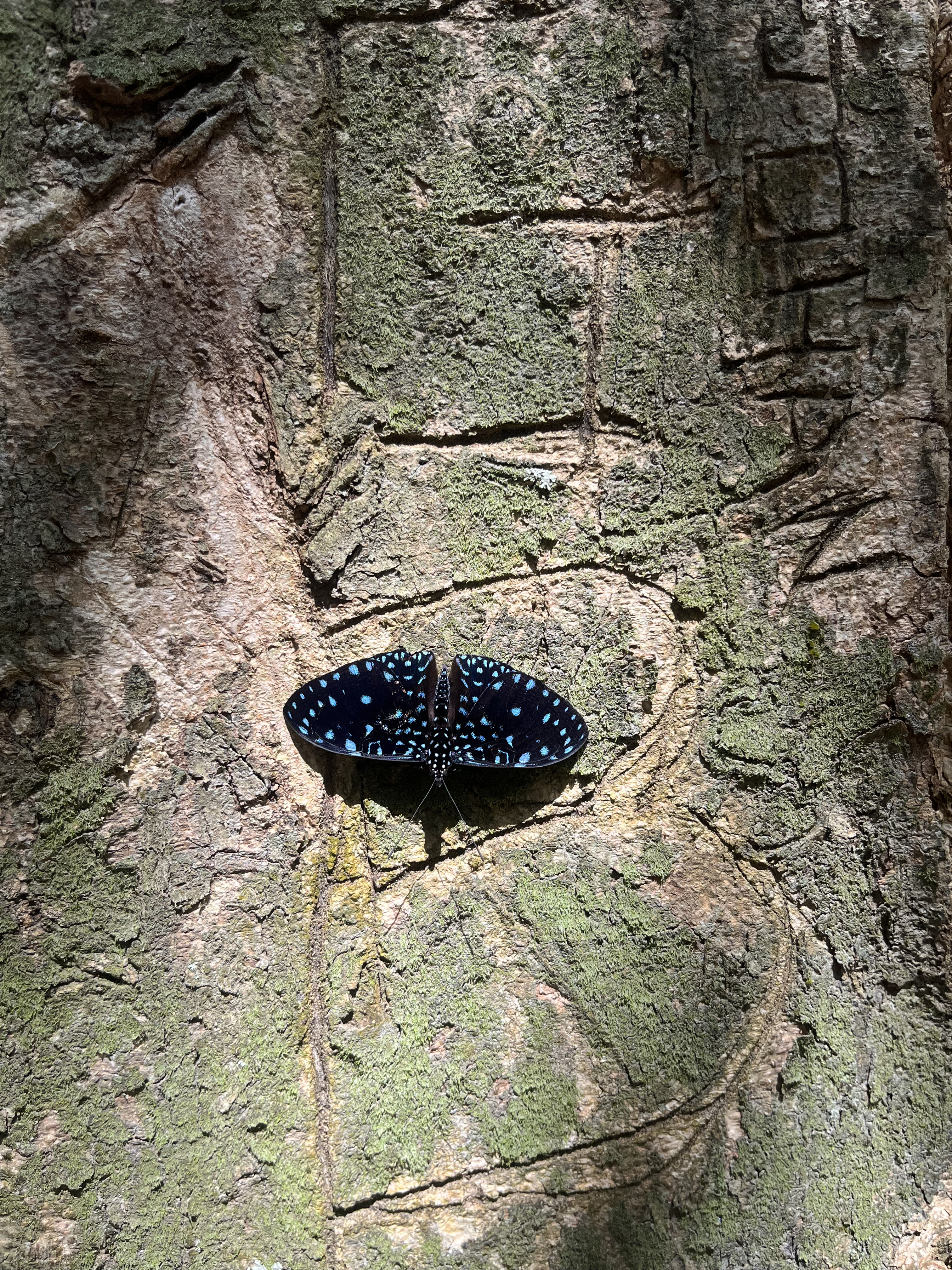
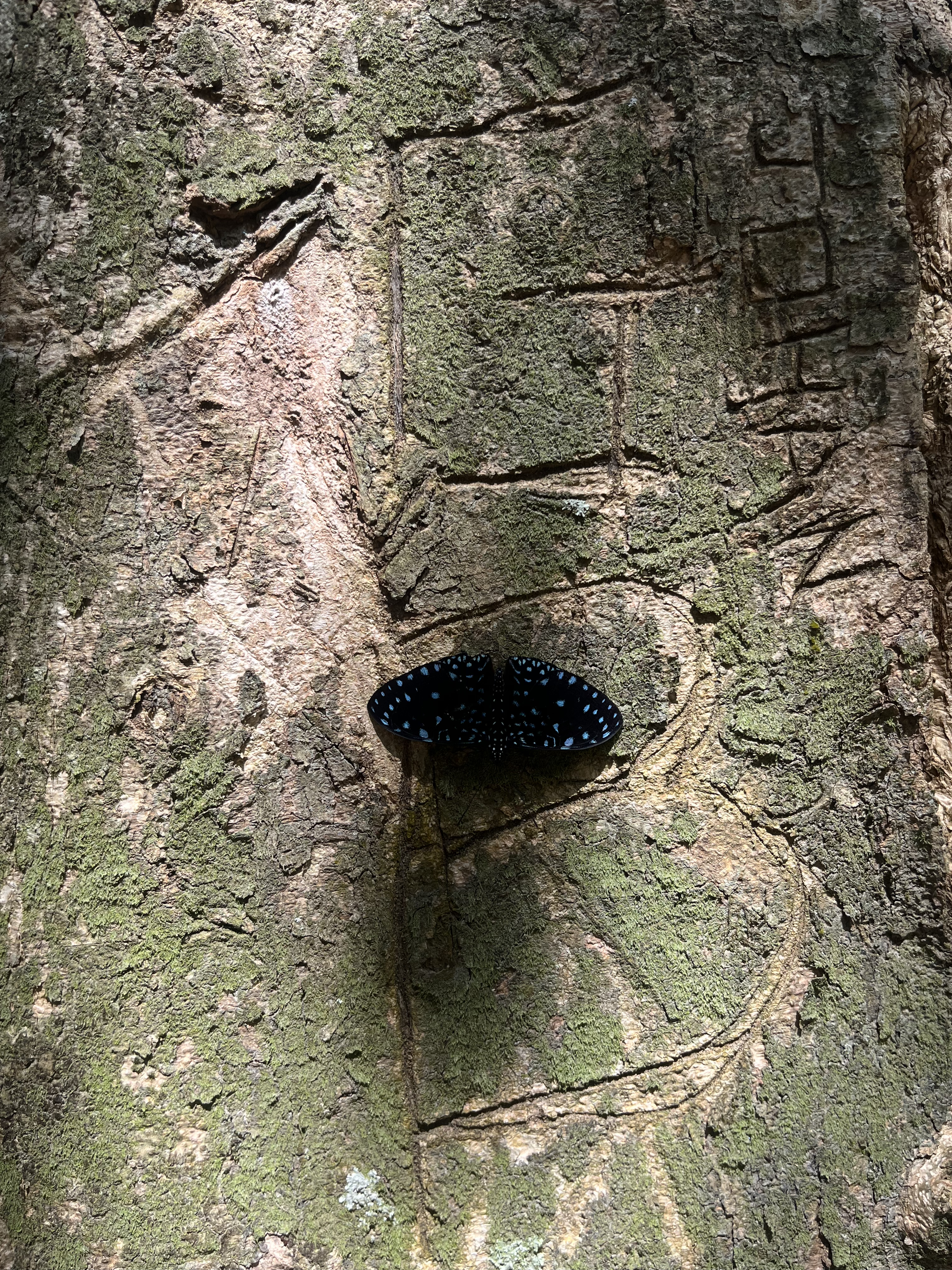
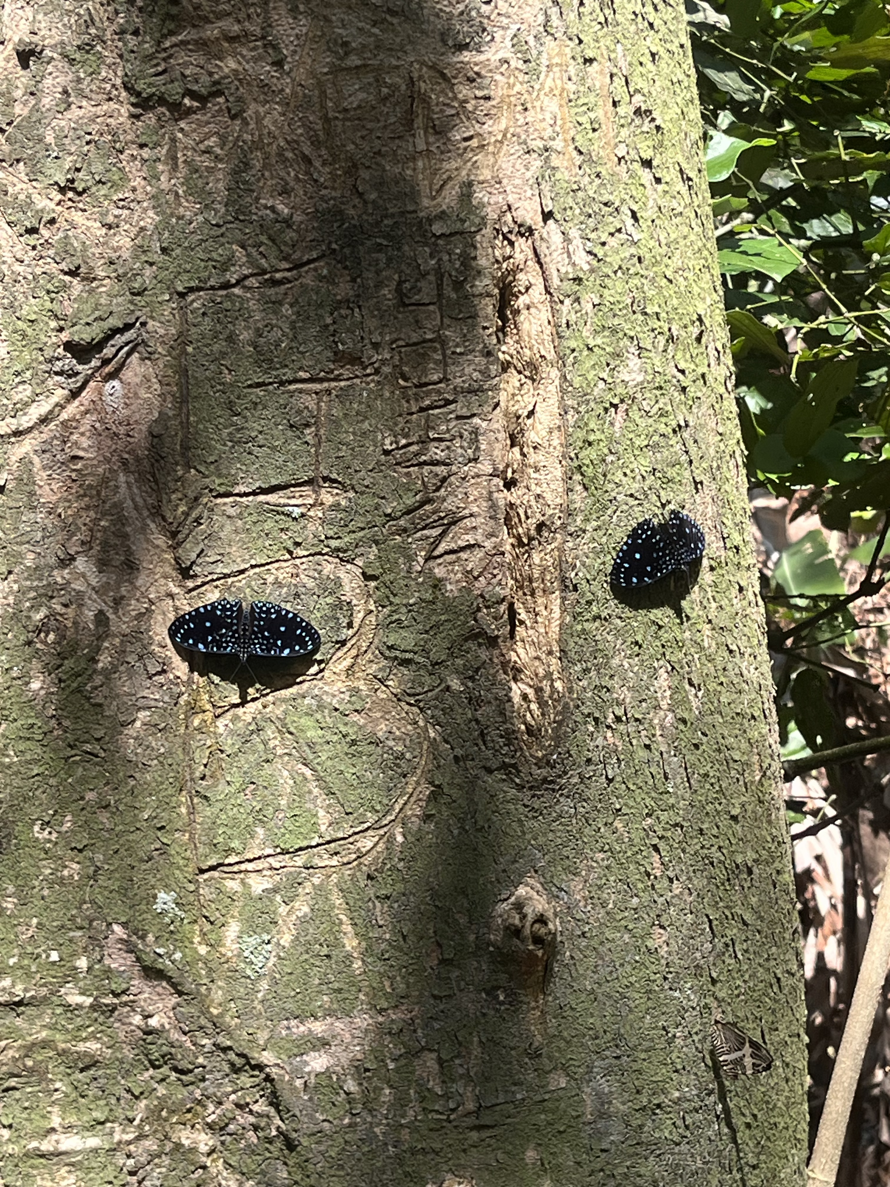
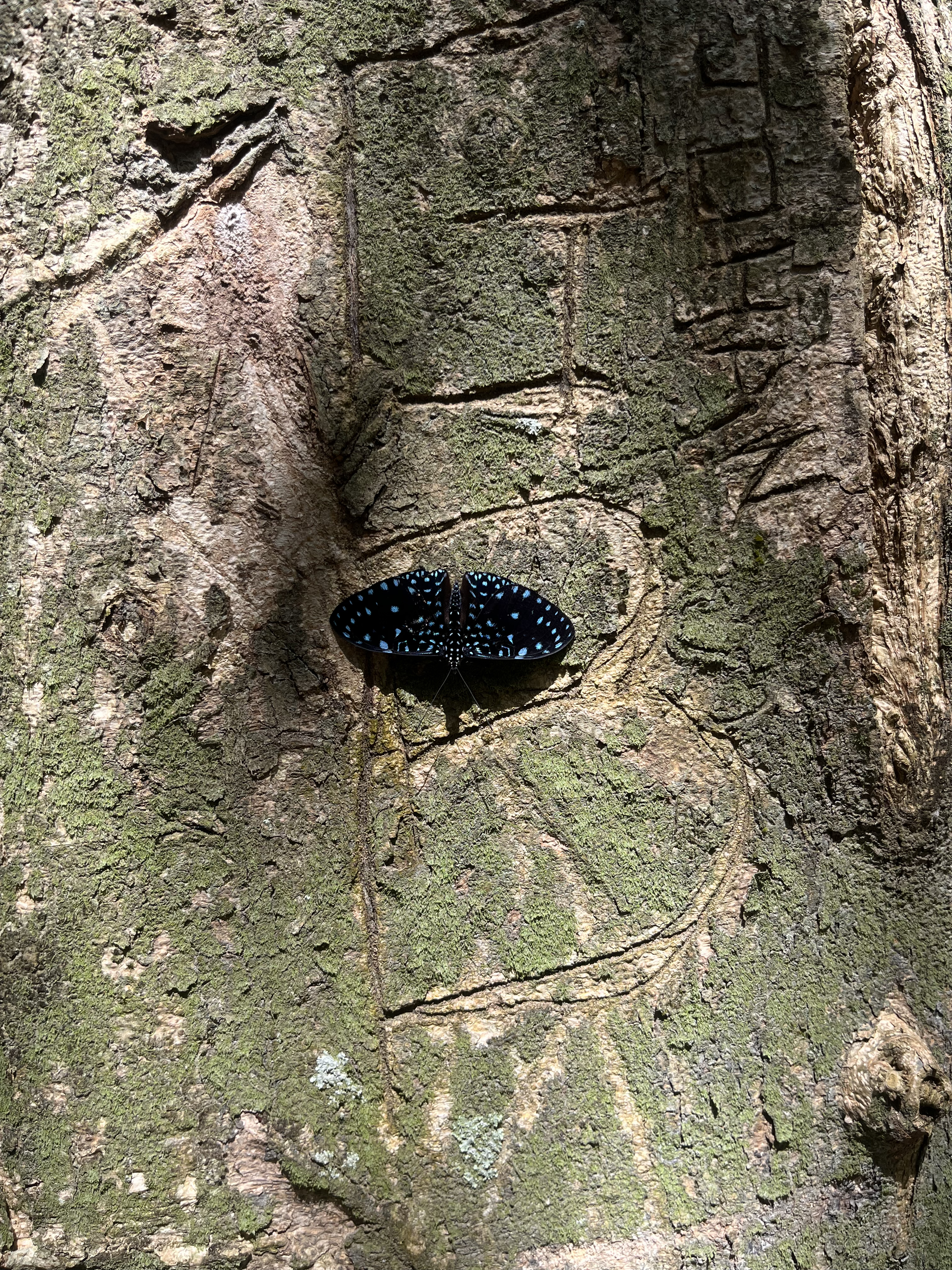
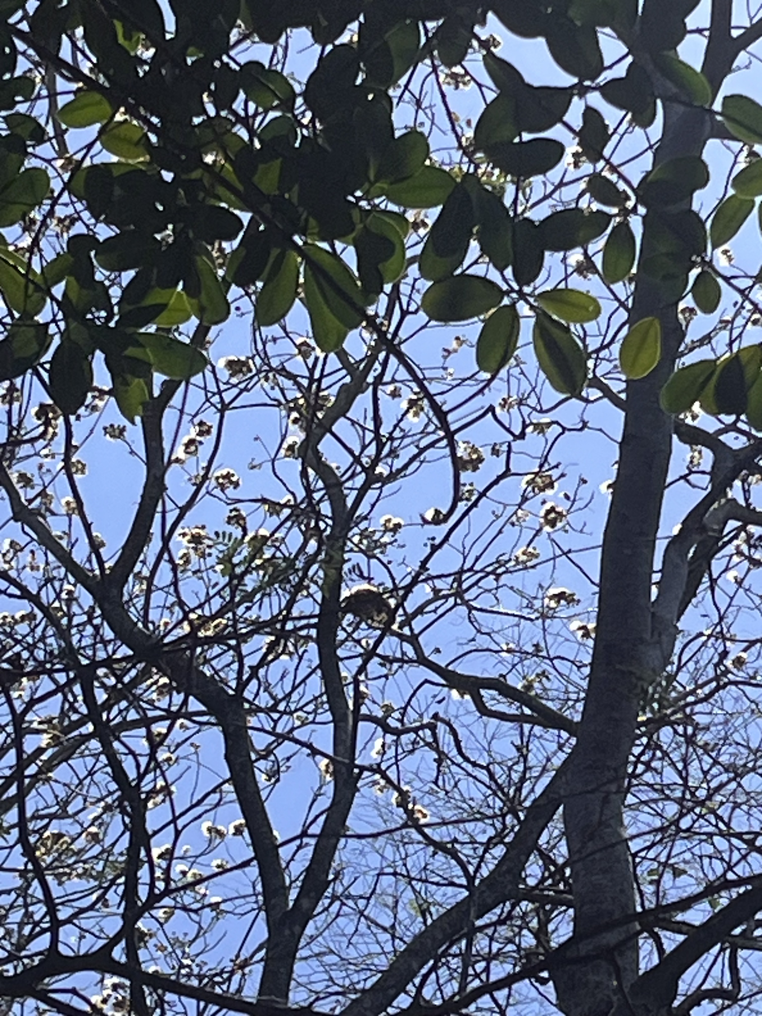
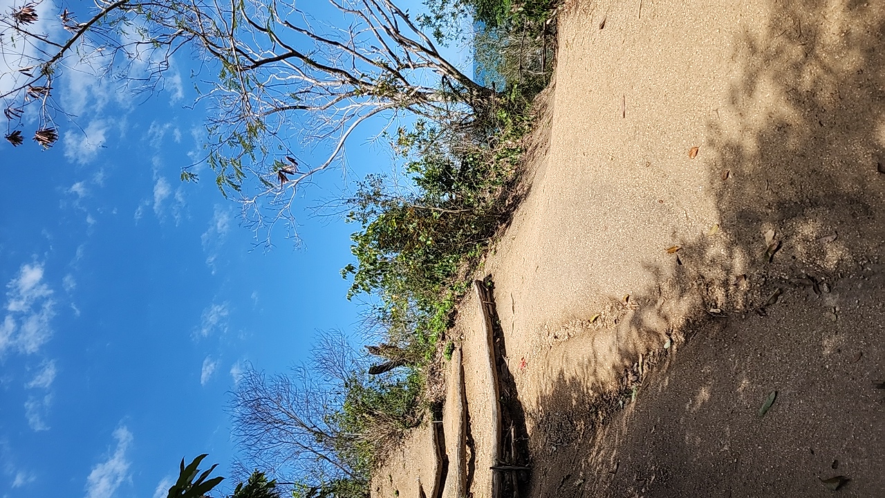
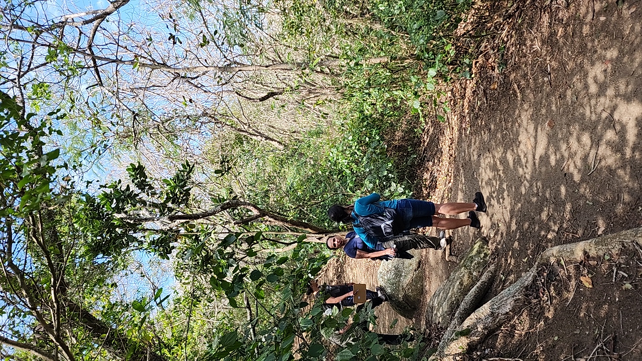
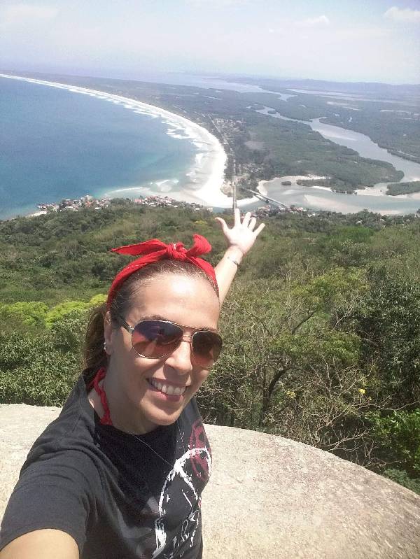
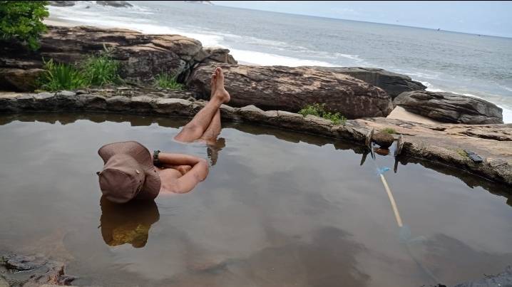
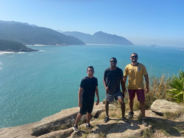
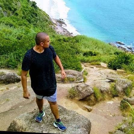
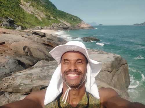
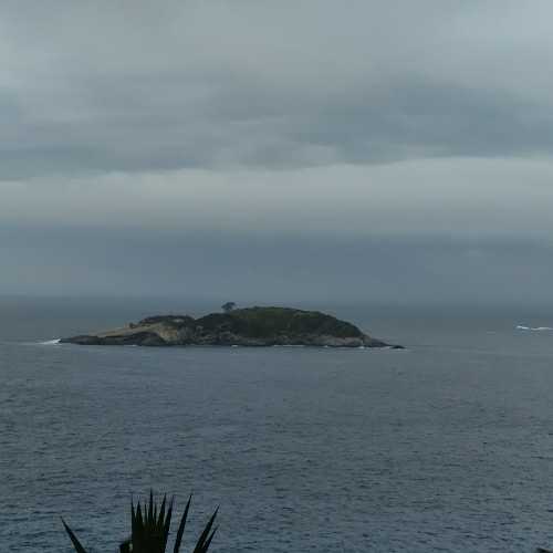
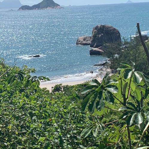
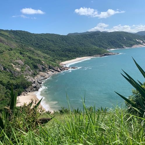
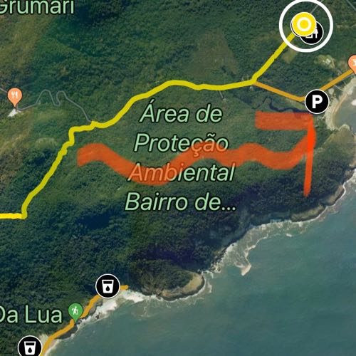
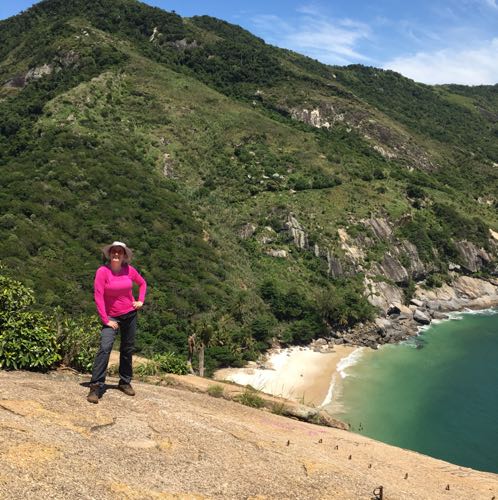
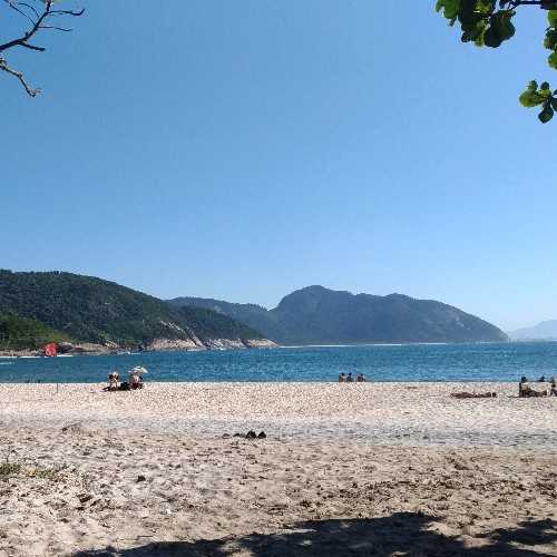
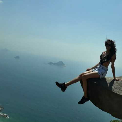
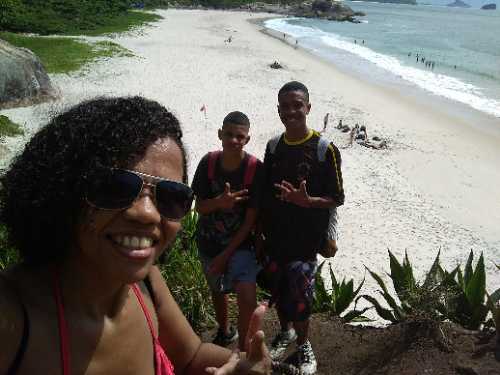
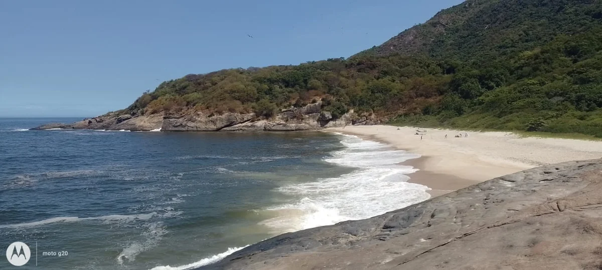
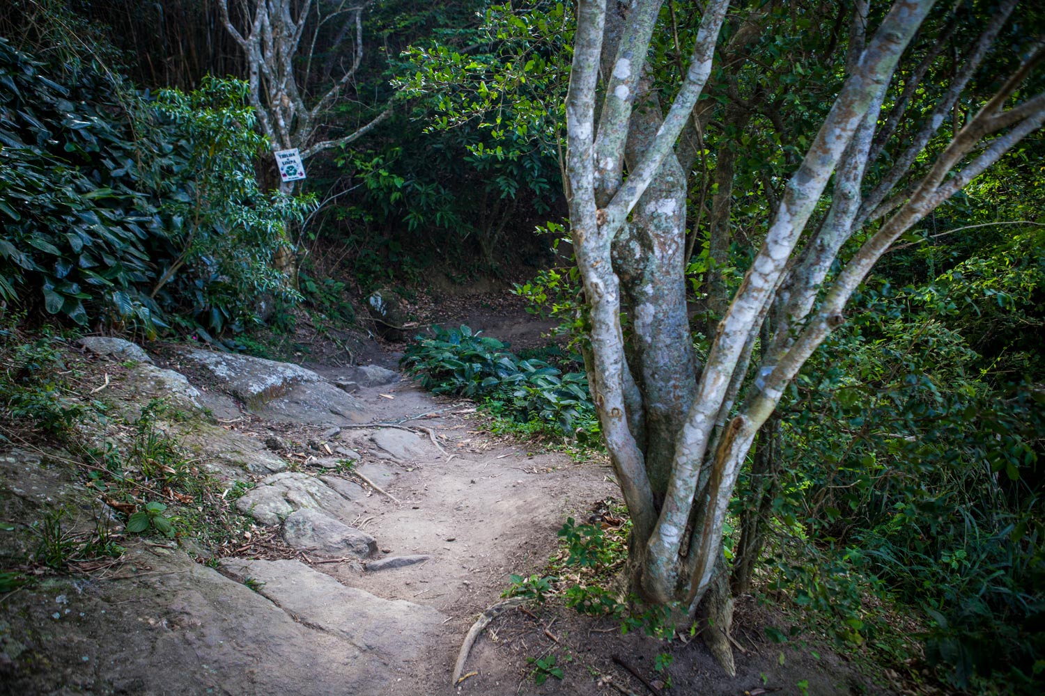
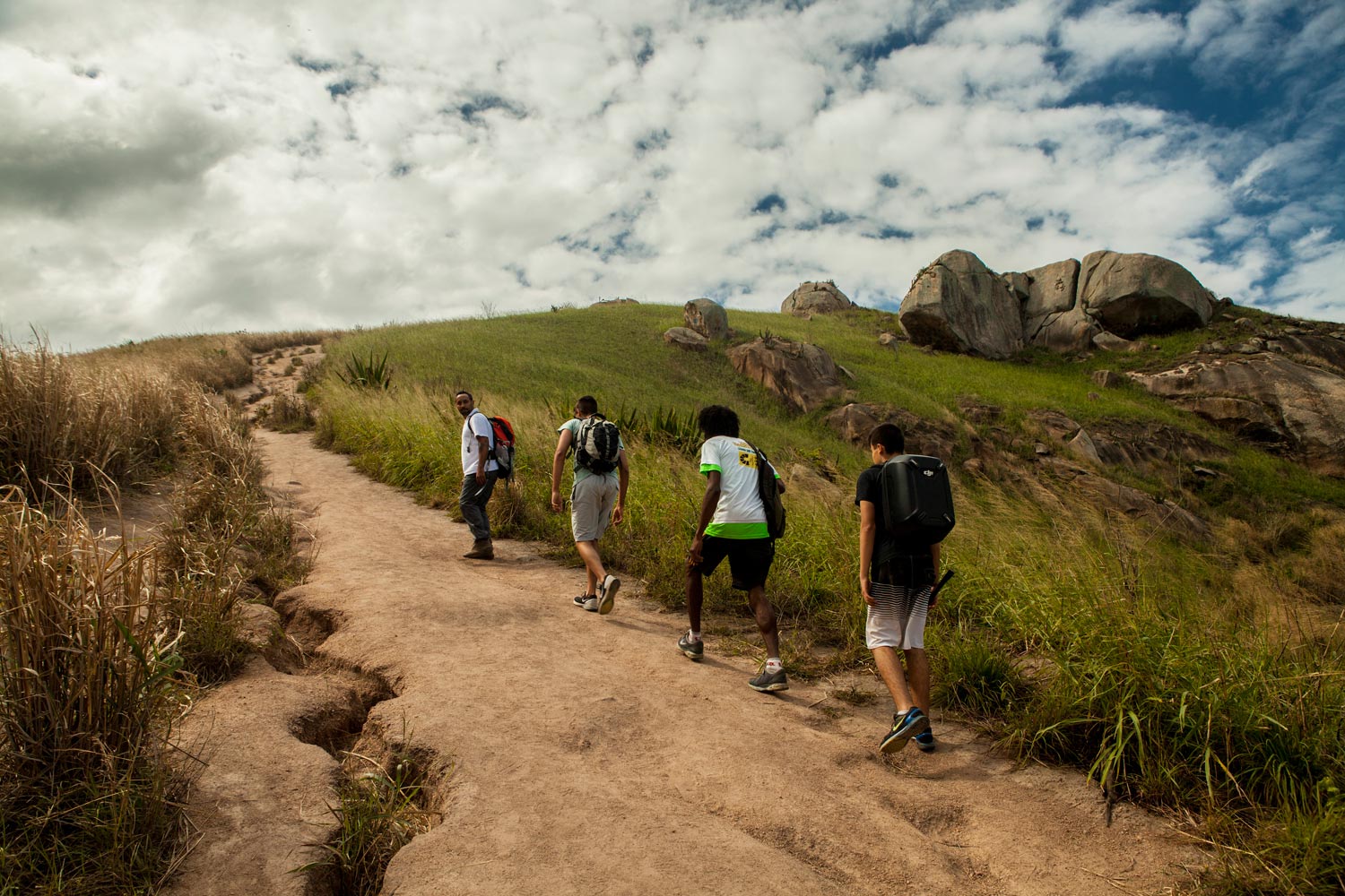
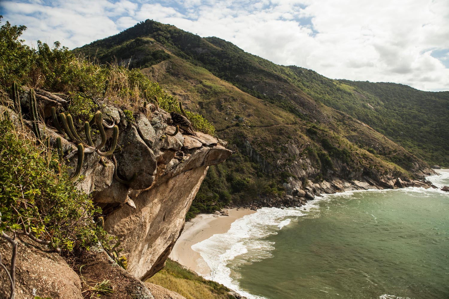
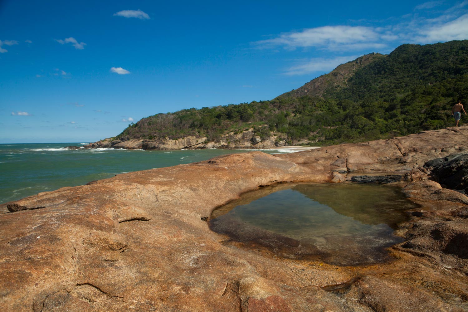
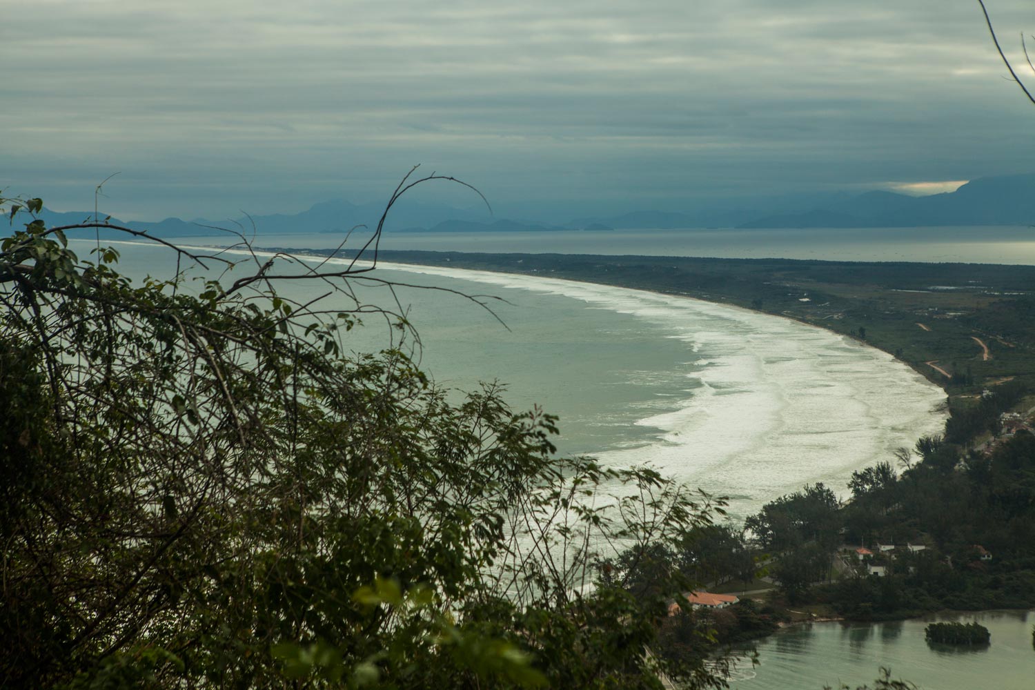
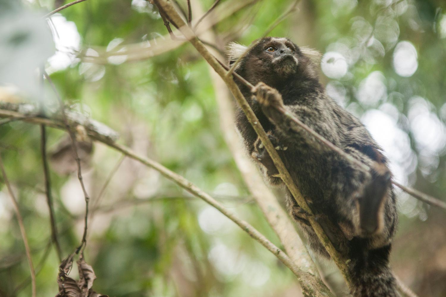
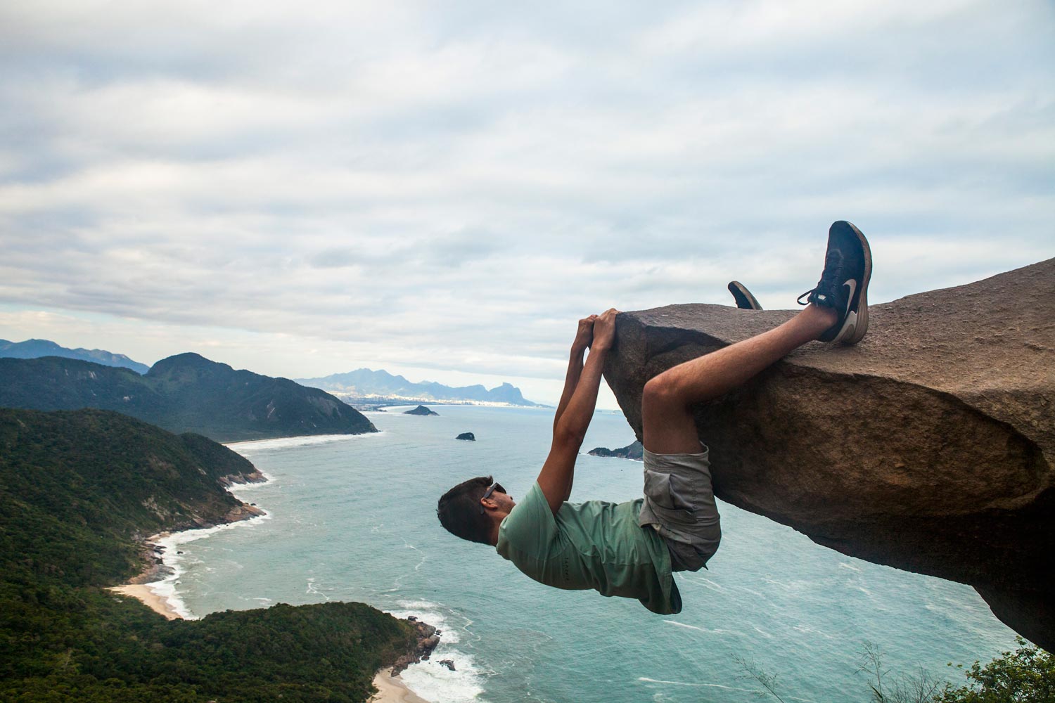
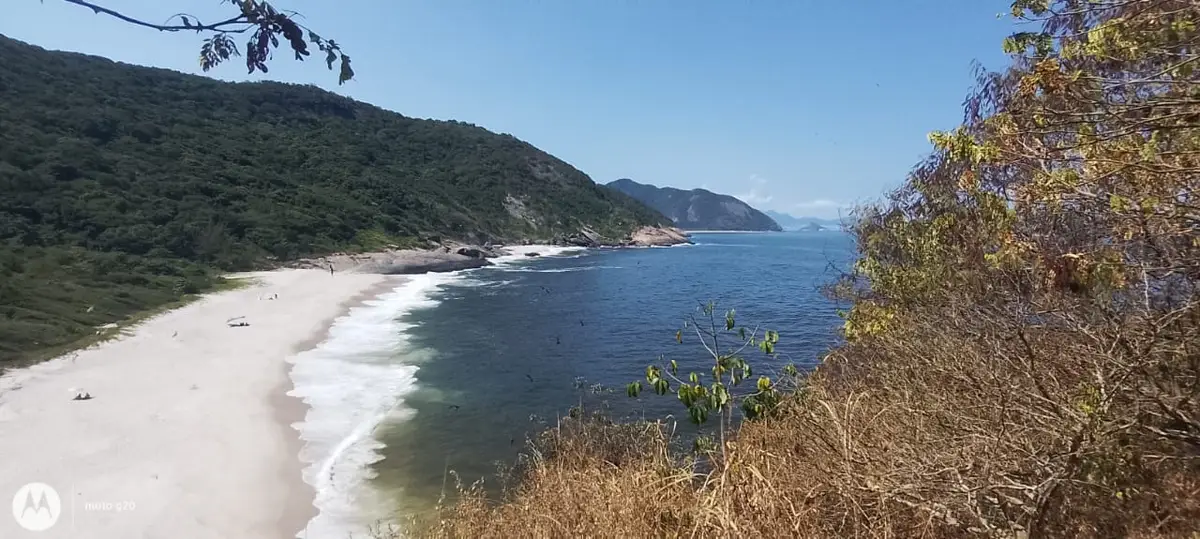
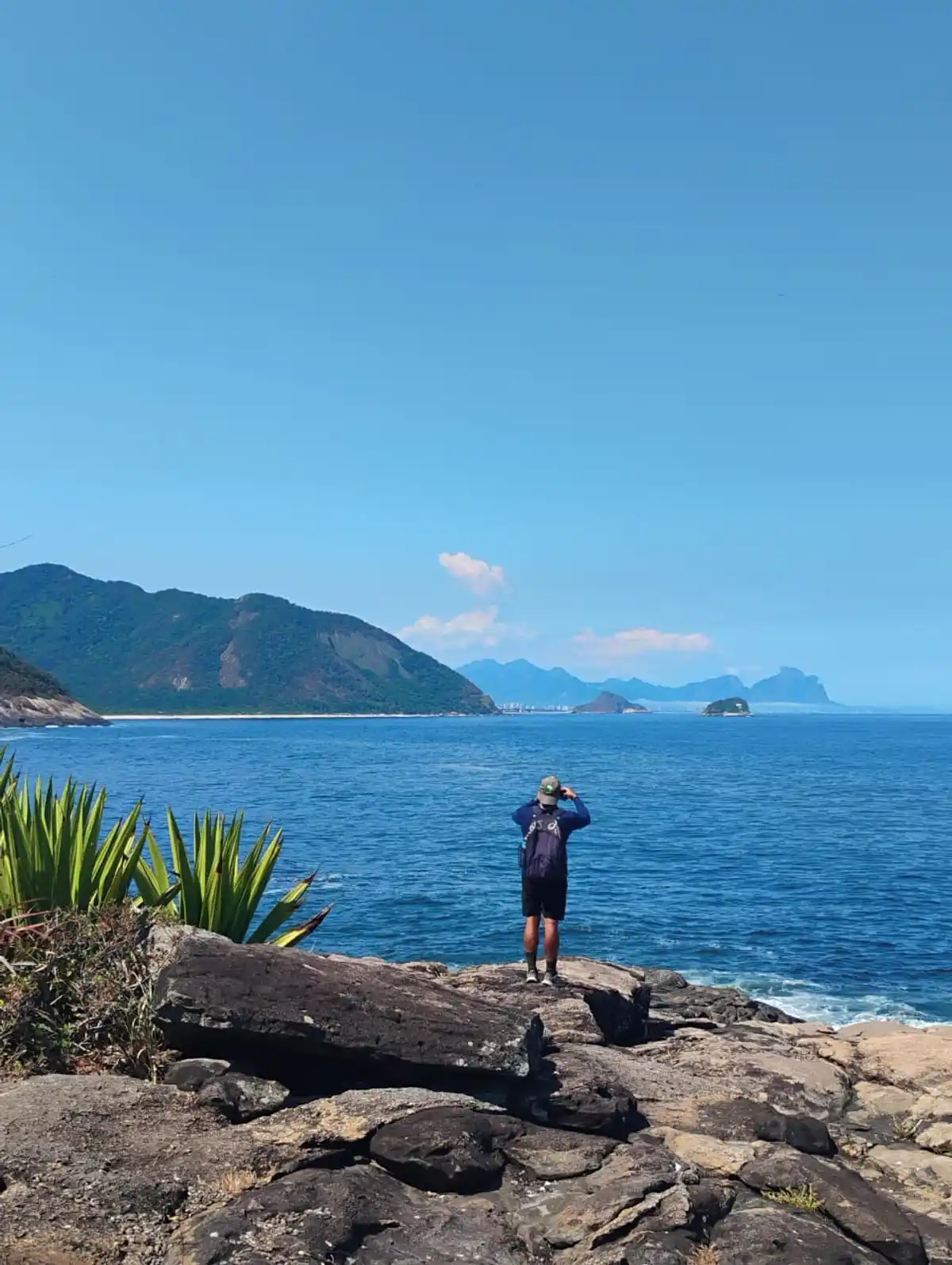
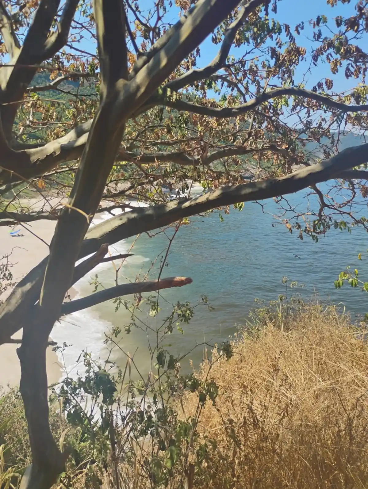
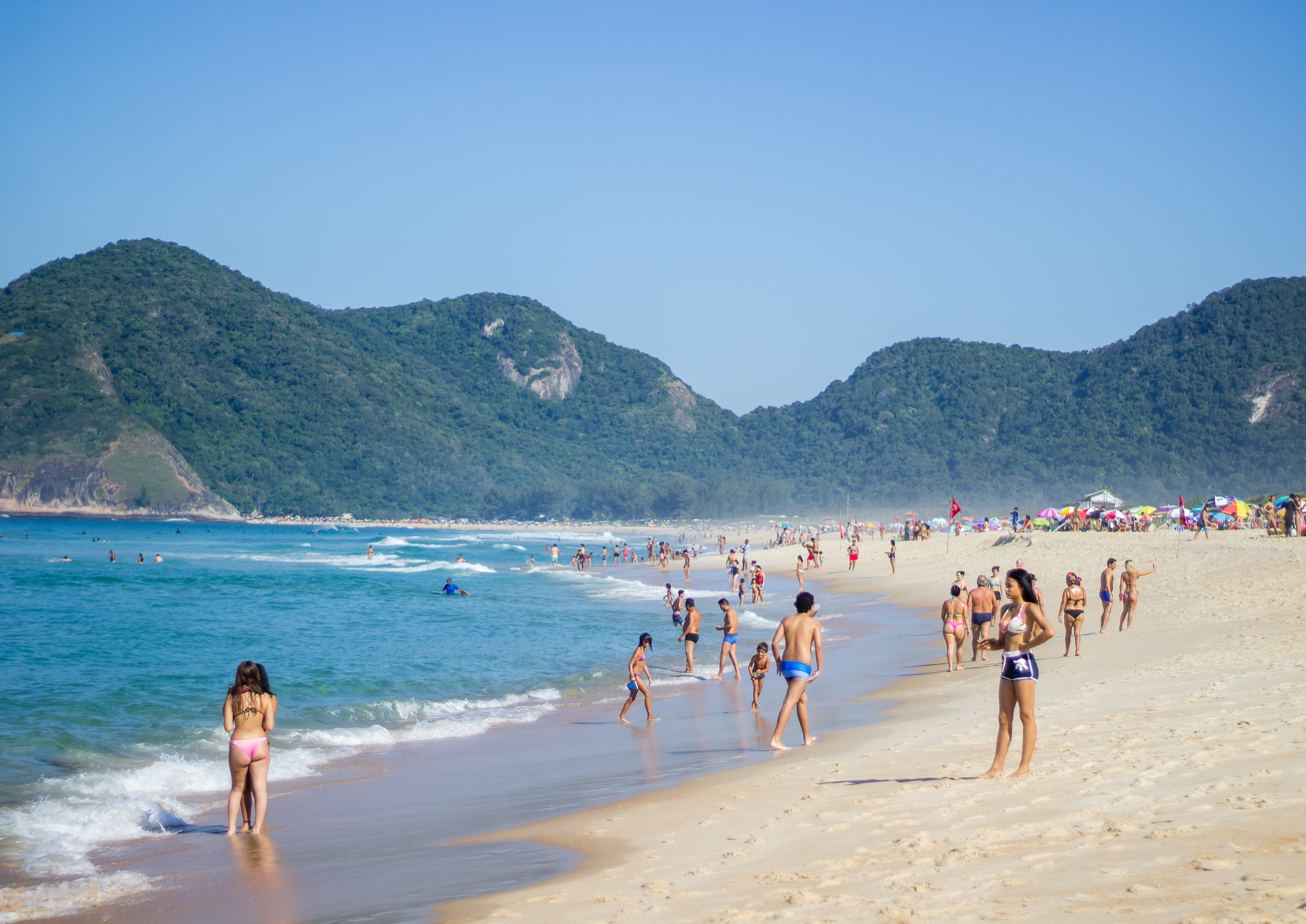
For this section, it's worth bringing swimwear and sunscreen, as this is where hikers have the opportunity to walk between the Atlantic Forest and some of the most beautiful and wild beaches of Rio de Janeiro, such as Perigoso, Meio, Funda, and Inferno, and dive into their paradisiacal waters. For a panoramic view of these beaches, it is recommended to make a round trip to the top of Pedra da Tartaruga. Another must-see view is from Pedra do Telégrafo, which has gained fame on social media and is one of the main attractions of the section. But be careful and know that the place can get crowded on sunny days, especially on weekends. From up there, you can see the Barra da Tijuca region on one side and the Restinga da Marambaia on the other. This section reveals the beauty of the coastal Atlantic Forest, with crystal-clear waters and white sand beaches.

Activities

Activity Hiking
Time 4h 0m

Guidelines

Extension: 7 Km
Difficulty Moderate
Orientation Moderate
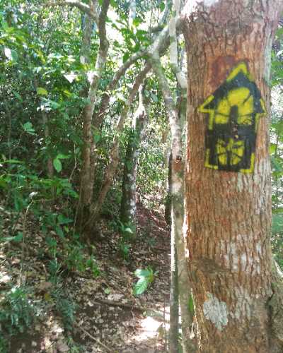
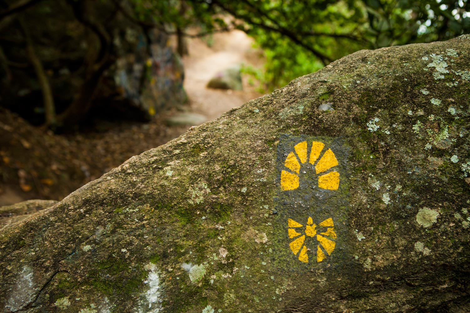
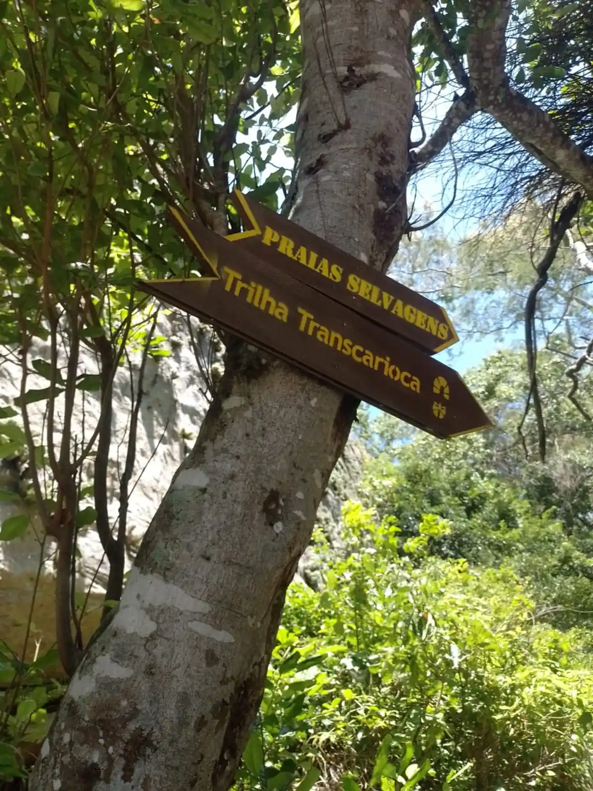
Signaling Level Complete
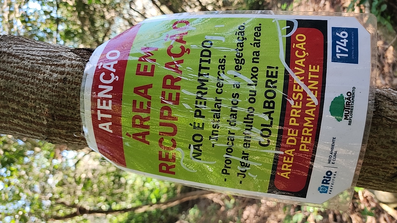
Conservation Good
Risk Exposure Low
Sun Exposure High
Hydration Point Available
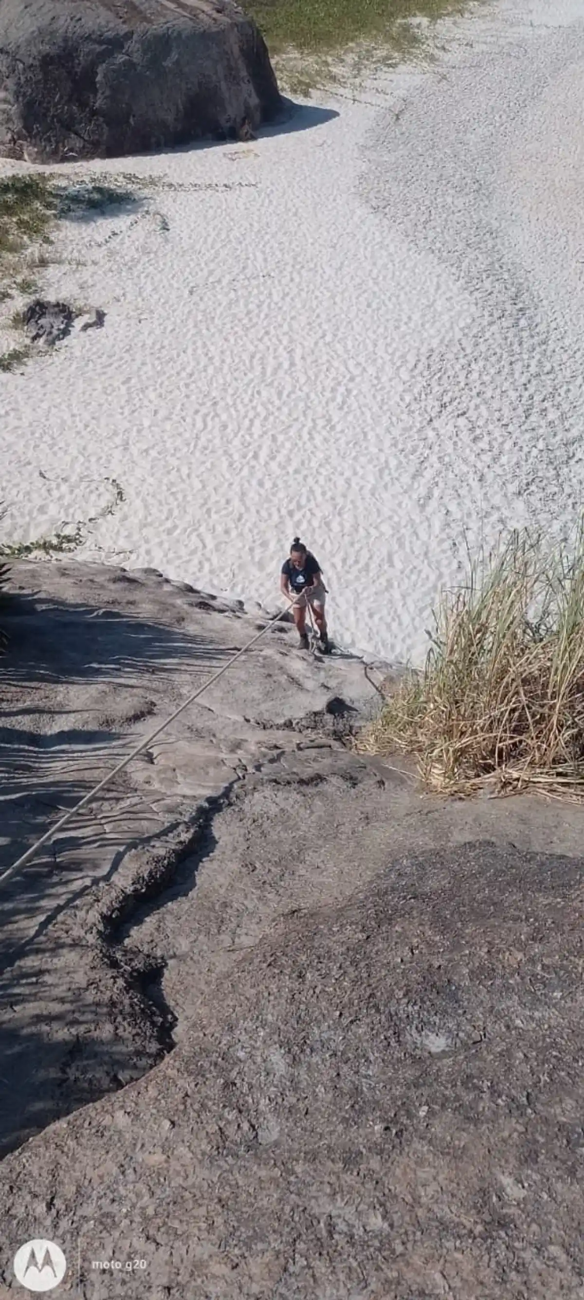
Climbing There is
Minimum Altitude: 0m
Maximum Altitude: 230m
Negative Unevenness: 477m
Positive Unevenness: 480m

Attractions that the trail offers

Avifauna
Fauna
Flora
Beach
Viewpoints
Ruins

What to see on the trail
Trecho 01 - Barra de Guaratiba x Grumari is a segment of the following Long-Distance Trail

The trail is located in the following Protected area

4.7
53 reviews
Elias Cardoso 04/06/2026
Lugar Único no Rio de Janeiro e talvez uma das mais espetaculares trilhas Cariocas . É um percurso que combina comunidade caiçara, subúrbio carioca e praias lindas e preservadas . Infelizmente os trechos mais fáceis de se chegar acabam sendo mais afetados por vândalos. Trecho perfeito
LEONARDO CASTRO 09/11/2025
Praias excelentes, vistas maravilhosas e fauna incrível.
Luciana Nogueira 27/09/2025
Trilha está sinalizada e manejada.
Maruzag Martins 25/05/2024
Trilha maravilhosa! ❤️ já fiz várias vezes! adoroooo
Marina Crocco 25/09/2023
lindo demais
Ana Barros 11/09/2023
Pedra da Lua.
Felipe Nascimento 08/09/2023
Fiz os trechos 1 e 2, o trecho 1 como é uma trilha bem frequentada está em ótimo estado de conservação porém o trecho 2 está em pessimo estado a trilha está bem fechado e a sinalização não está boa, tem q dá uma atenção especial naquele percurso!
Wilson Junior 29/08/2023
Pedra do Telégrafo com vista para as praias do Perigoso, Praia do Meio e Praia do inferno, trilha tranquila e bem leve para quem está com disposição.

Warnings
Environmental conservation
25/05/2026
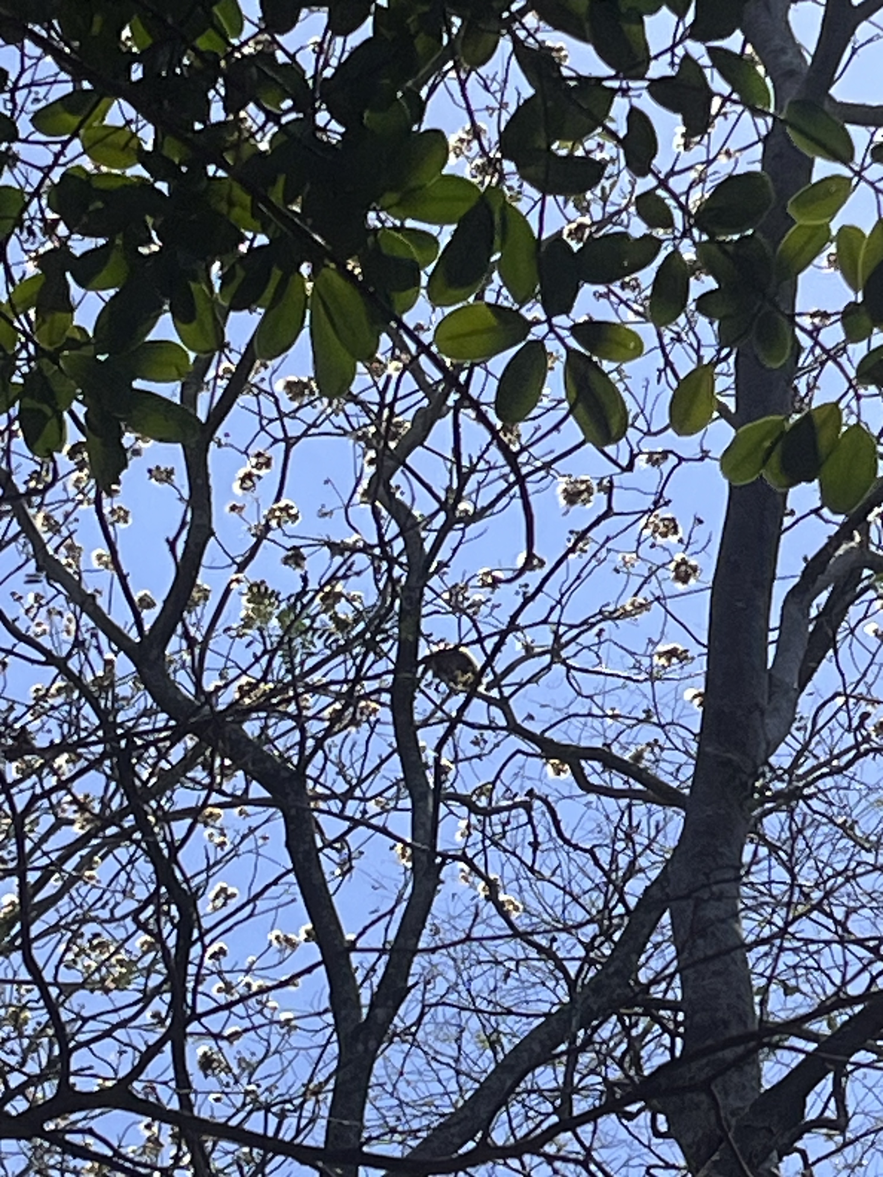
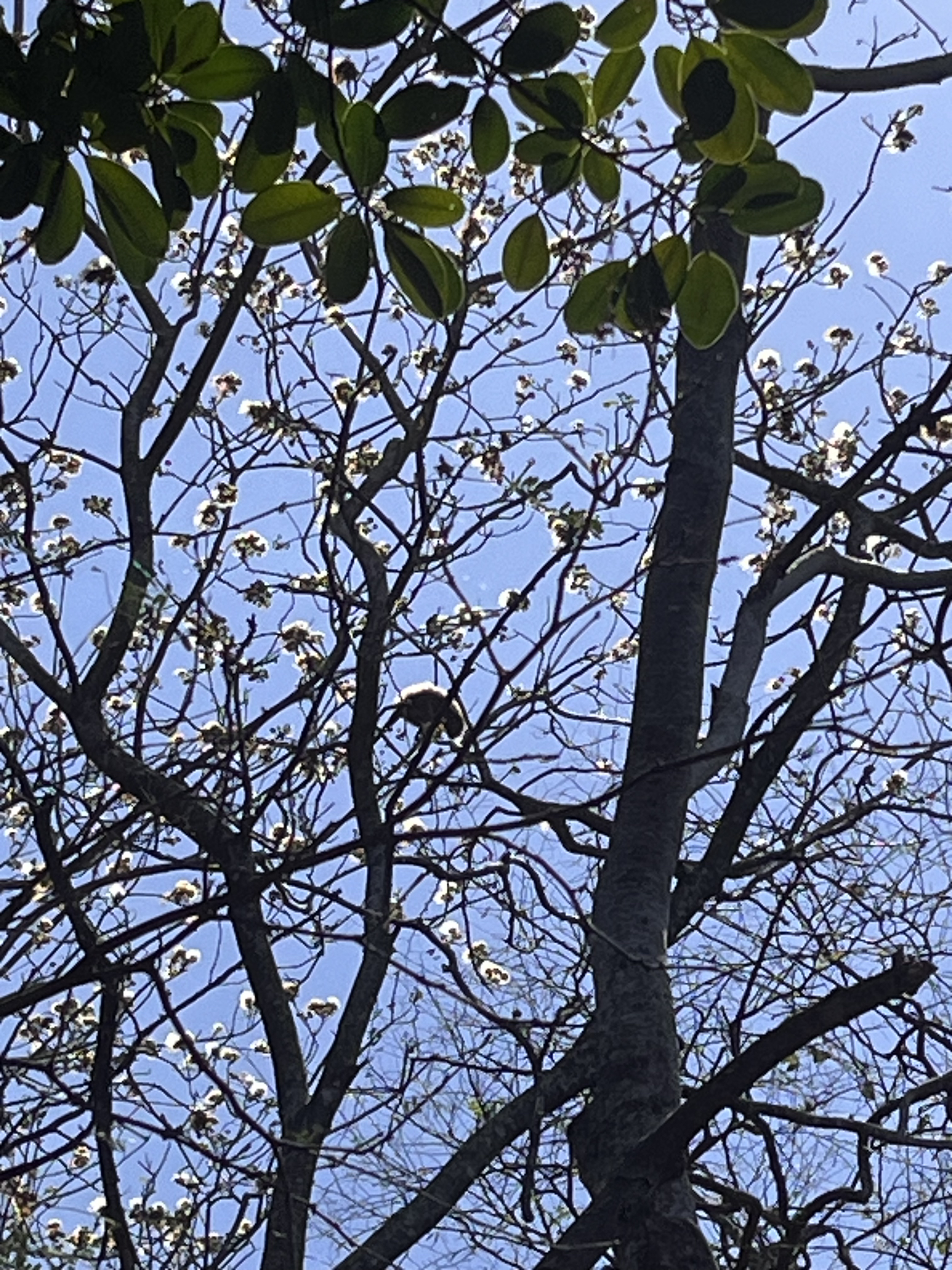
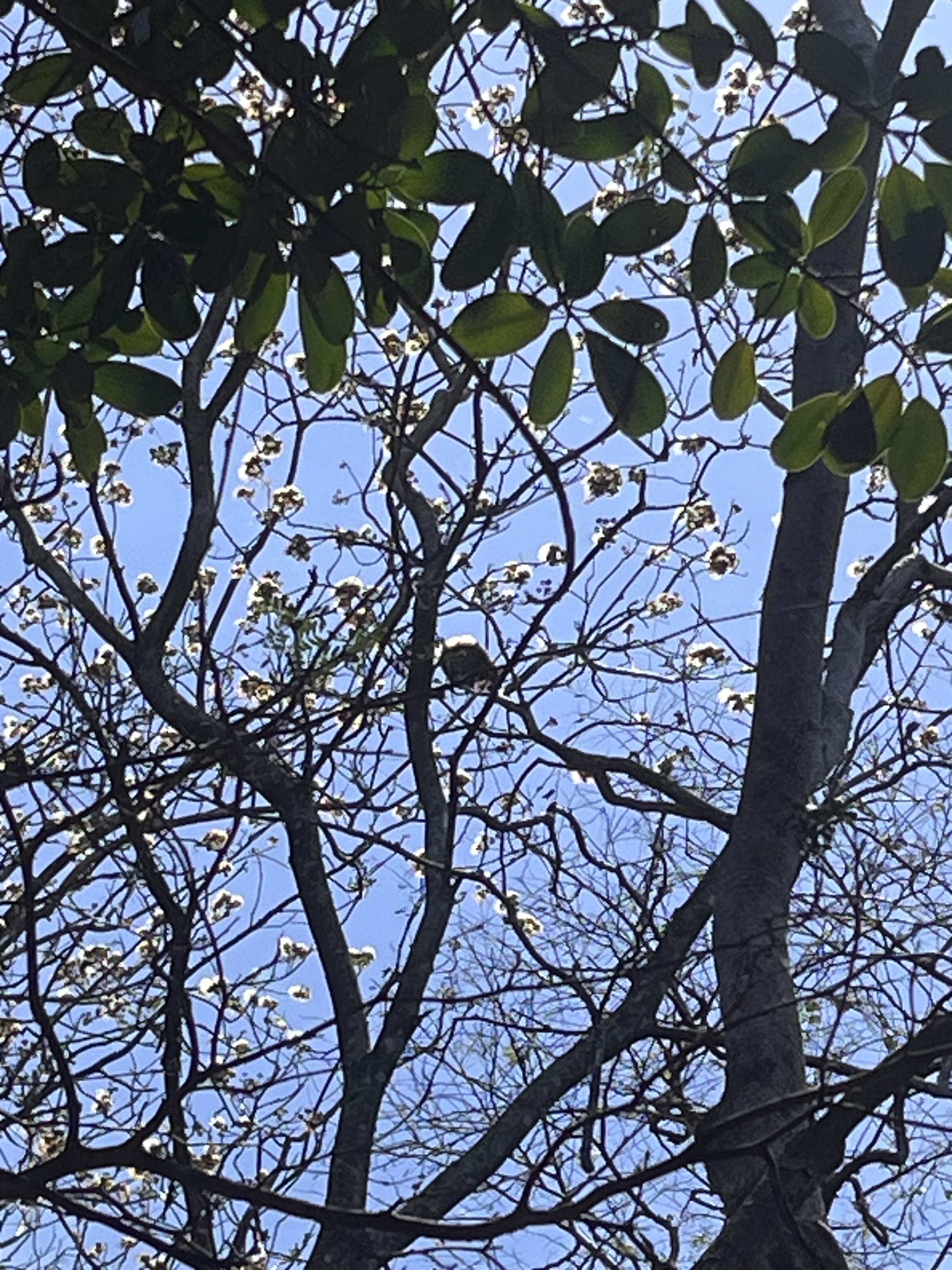
Flora and Fauna (sighting)
29/09/2025
Flora and Fauna (sighting)
29/09/2025
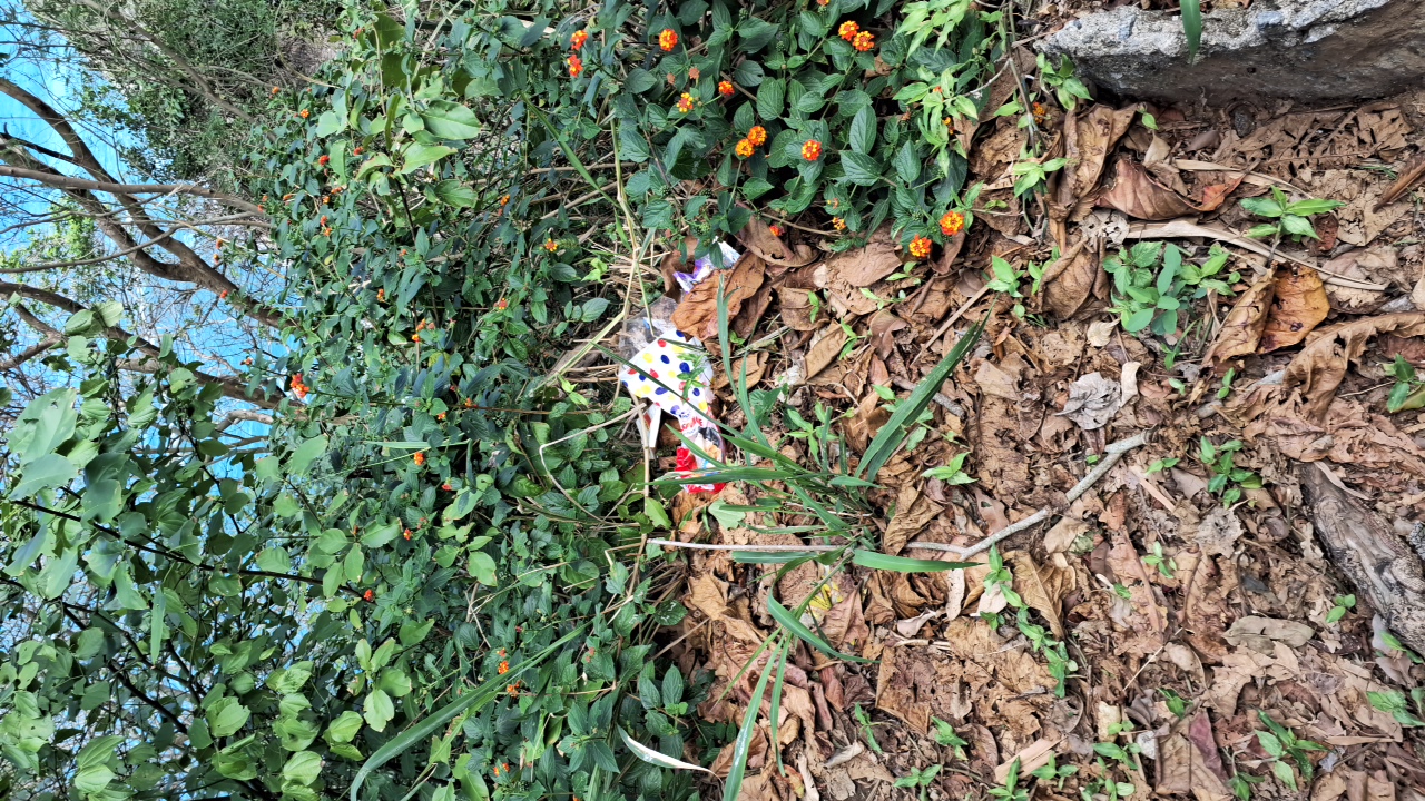
Environmental conservation
29/09/2025
Environmental conservation
29/09/2025
Environmental conservation
29/09/2025
Environmental conservation
29/09/2025
Environmental conservation
29/09/2025
Flora and Fauna (sighting)
29/09/2025
Flora and Fauna (sighting)
27/09/2025
Environmental conservation
16/08/2023
Environmental conservation
25/05/2023
Environmental conservation
01/05/2023
Environmental conservation
10/02/2023
Environmental conservation
09/02/2023
Environmental conservation
26/01/2023
Environmental conservation
26/01/2023
Environmental conservation
26/01/2023
Environmental conservation
26/01/2023
Environmental conservation
26/01/2023
Environmental conservation
26/01/2023
Environmental conservation
26/01/2023
Environmental conservation
26/01/2023
Environmental conservation
15/01/2023
Environmental conservation
30/12/2022
Environmental conservation
19/12/2022
Environmental conservation
06/12/2022
Others
17/06/2022
Others
06/06/2022
Others
01/06/2021
Others
01/03/2021
Others
15/01/2021
Others
05/11/2020
Others
14/08/2020
Others
14/08/2020
Environmental conservation
03/05/2020
Environmental conservation
19/02/2020
Environmental conservation
04/01/2020
Environmental conservation
04/01/2020
Others
30/11/2019
Others
30/08/2019
Environmental conservation
30/08/2019
Others
30/08/2019
Environmental conservation
14/10/2018
Environmental conservation
29/08/2018
Environmental conservation
29/08/2018
Others
23/02/2018
Environmental conservation
23/02/2018
Others
06/02/2018
Environmental conservation
27/12/2017

Map

Guidelines

Extension: 7 Km
Difficulty: Moderate
Orientation: Moderate
Signaling Level: Complete
Minimum Altitude: 0m
Maximum Altitude: 230m
Negative Unevenness: 477m
Positive Unevenness: 480m
Compartilhar