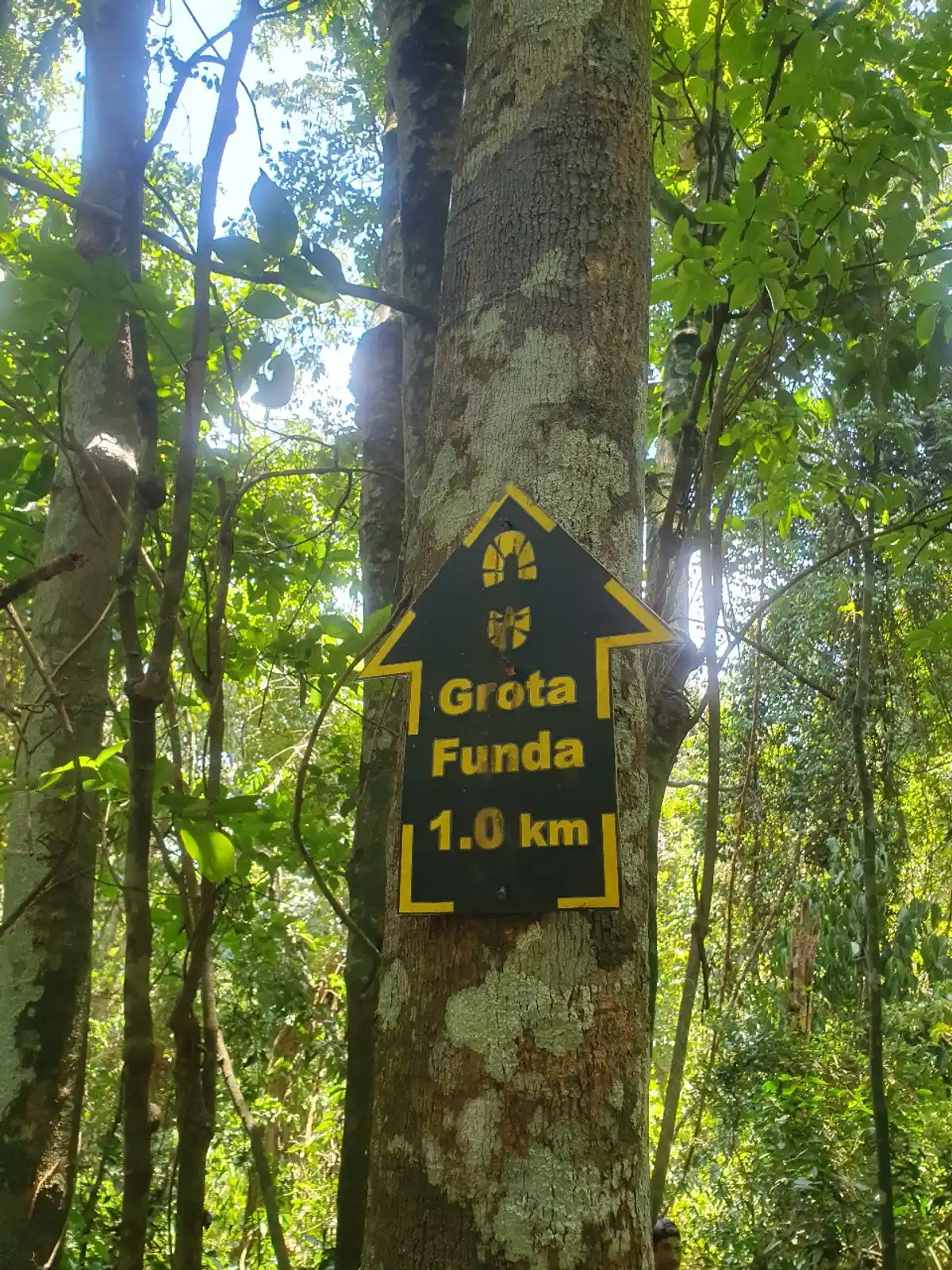
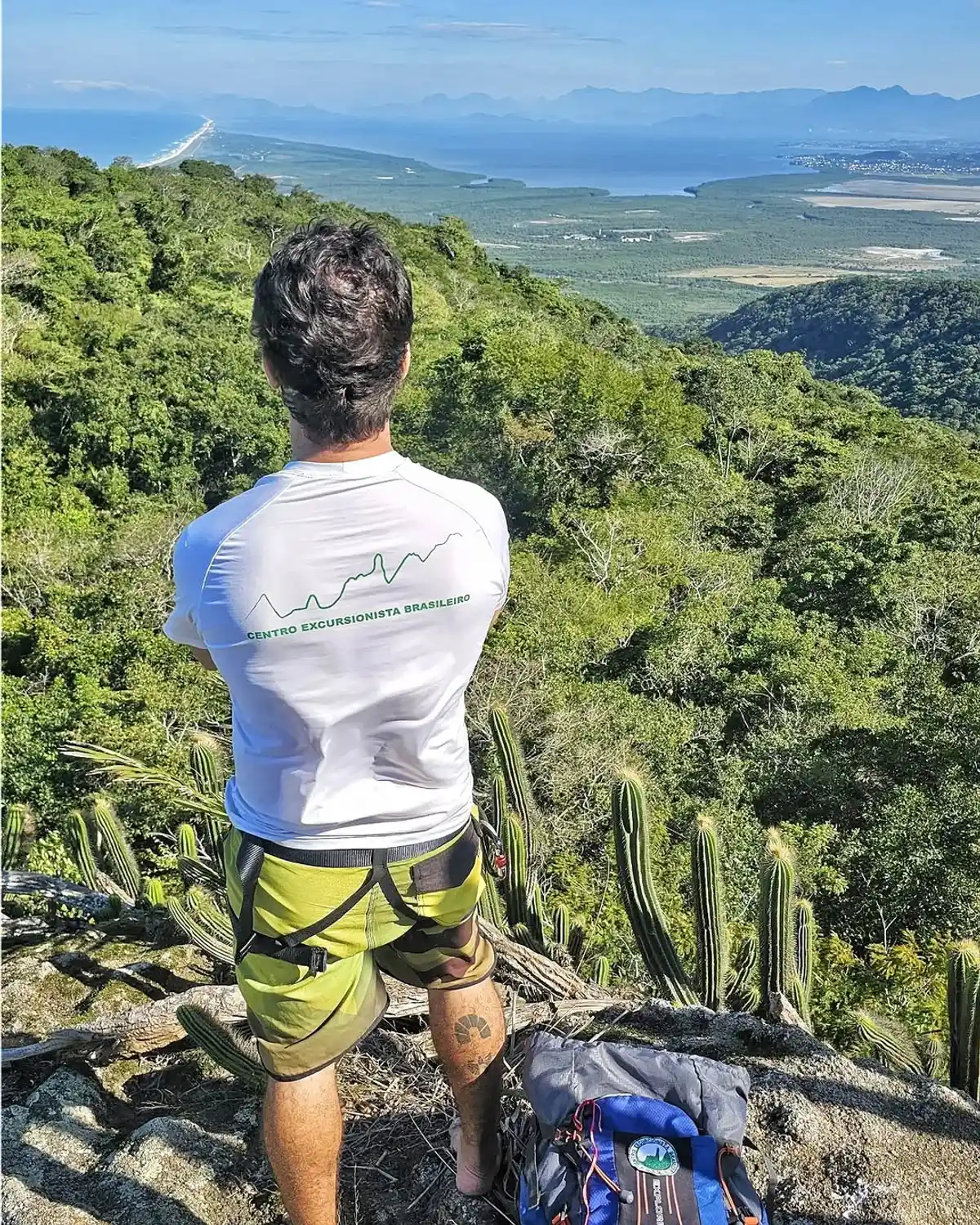
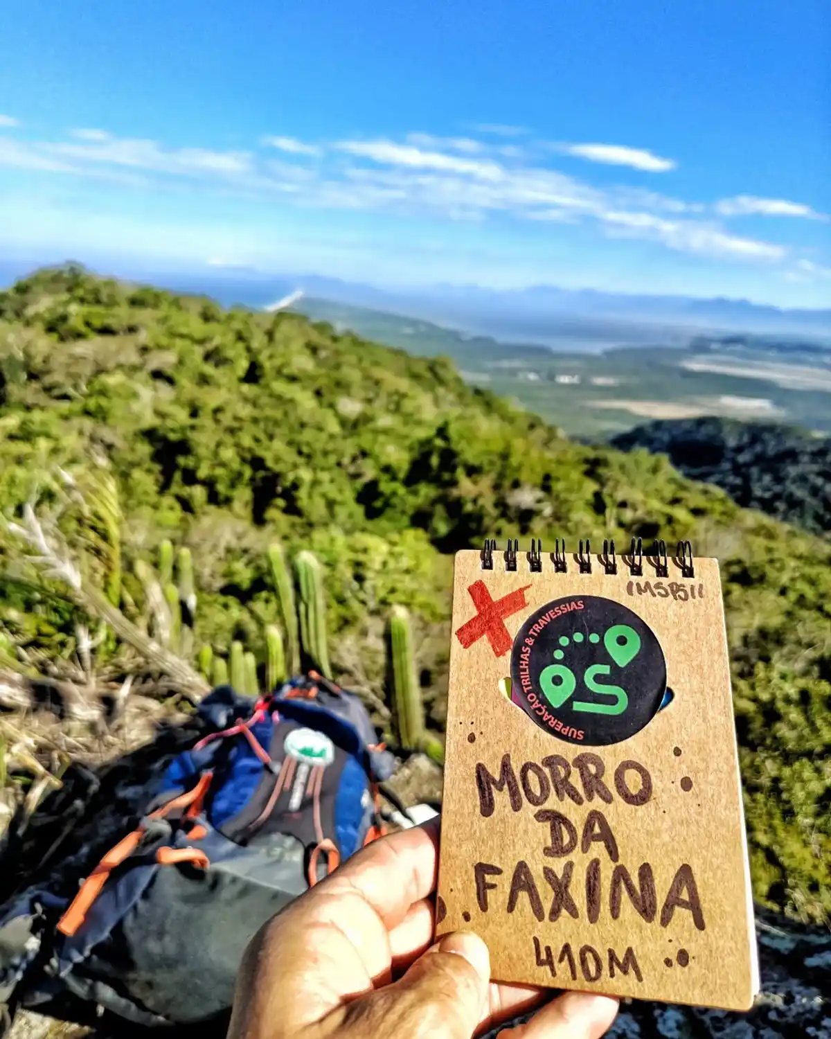
Trecho 02 - Grumari x Grota Funda

5

Description

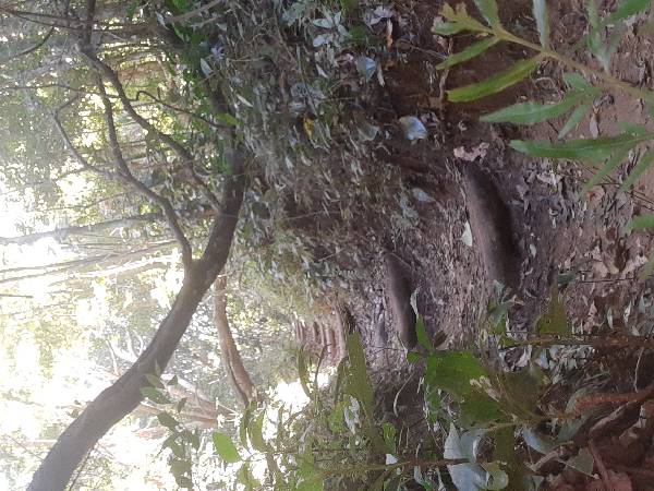
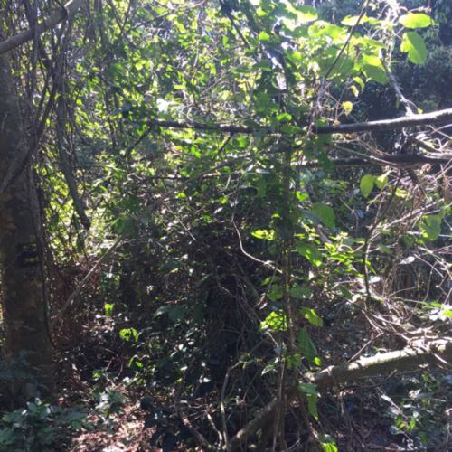
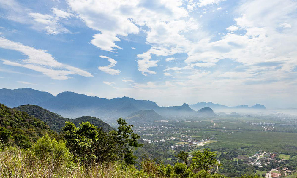
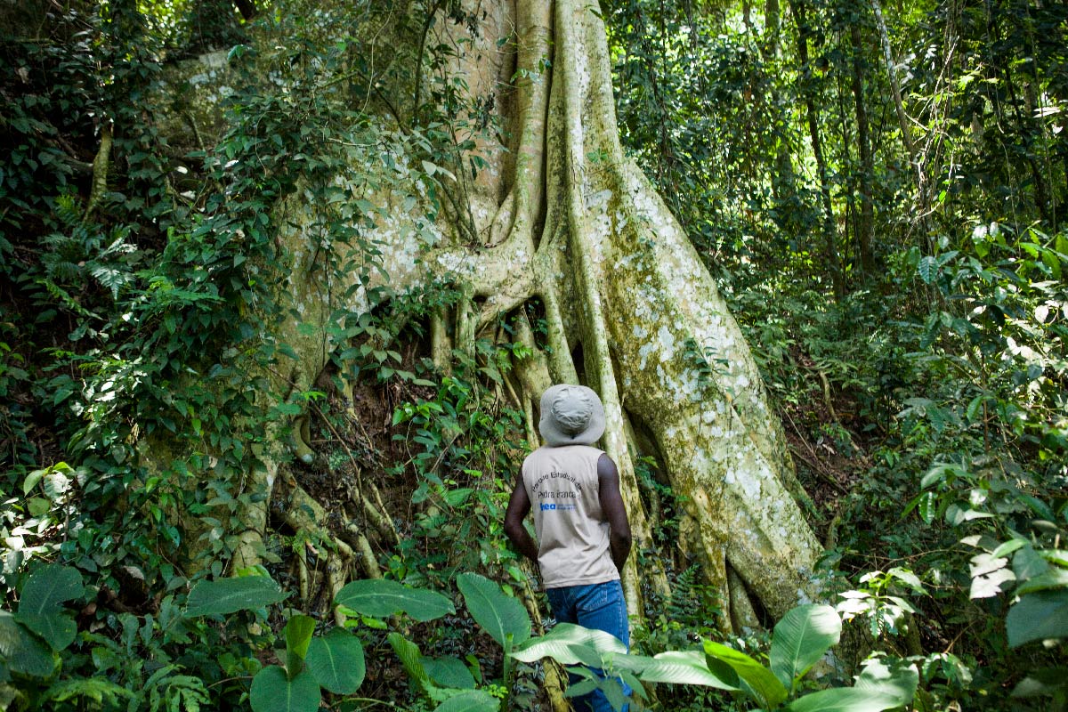
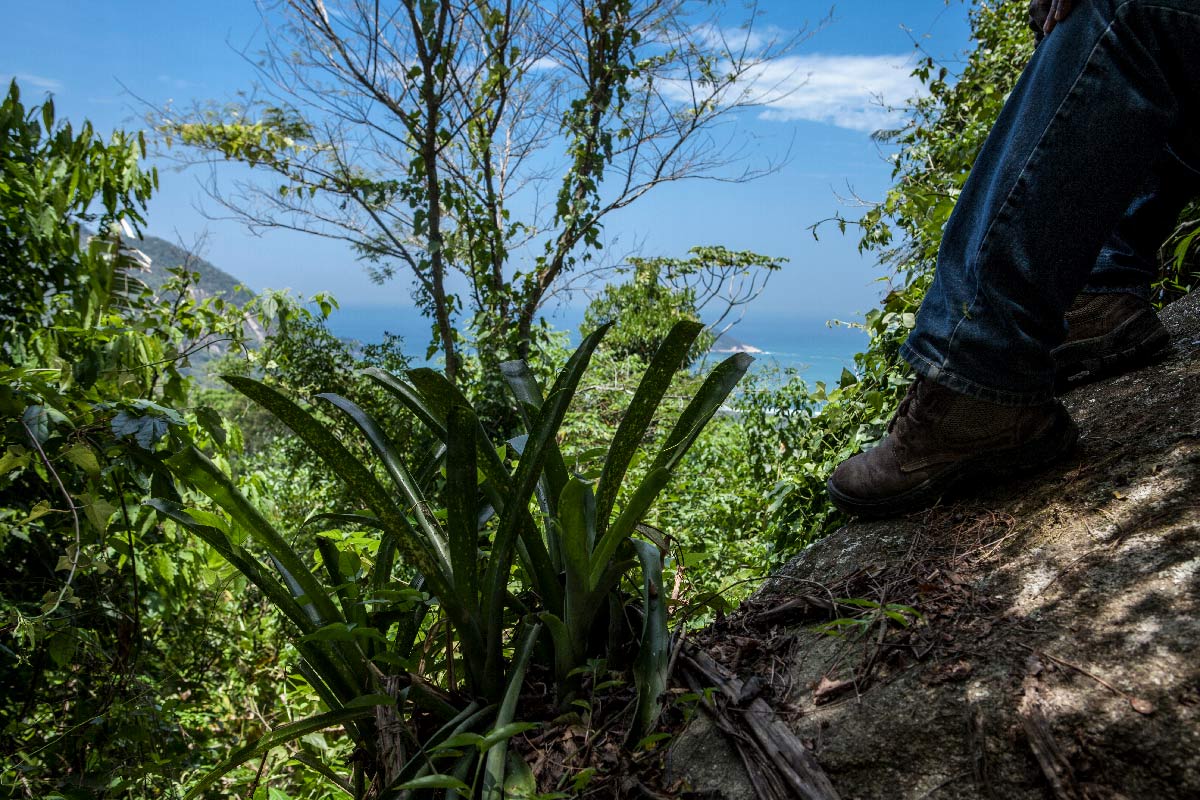
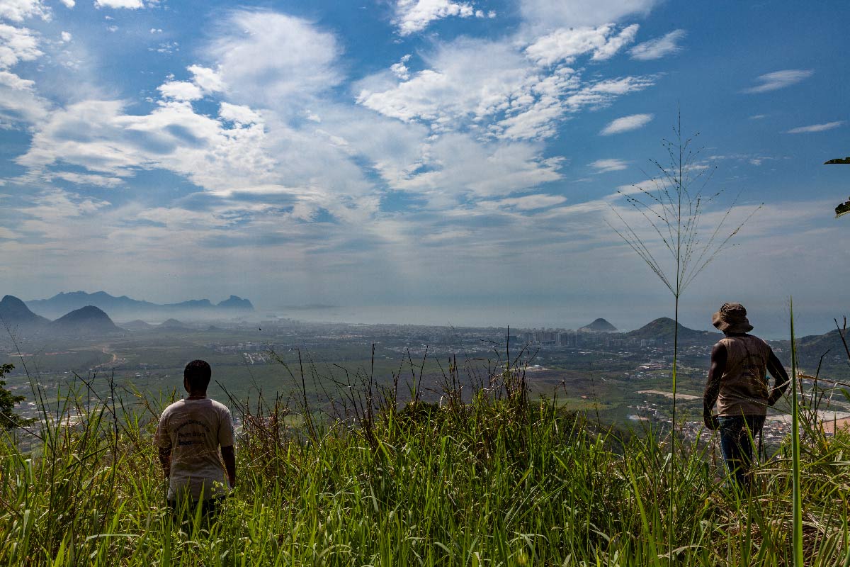
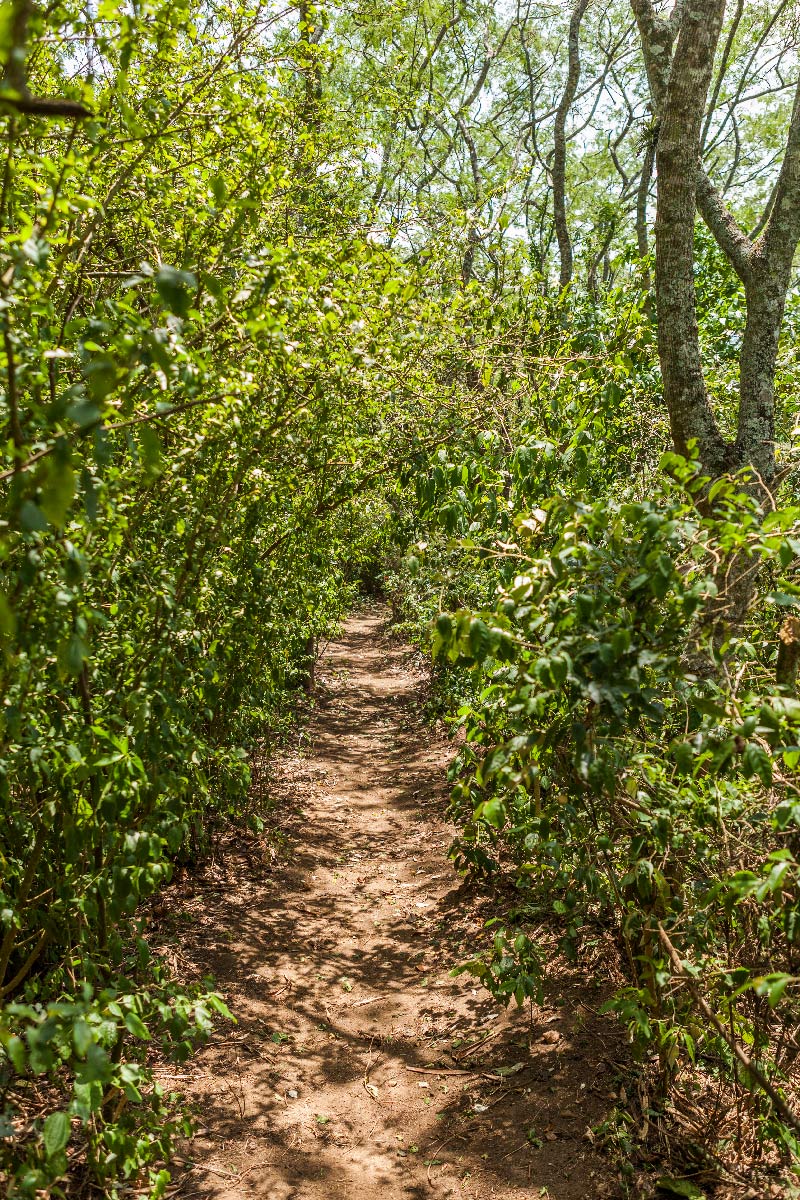
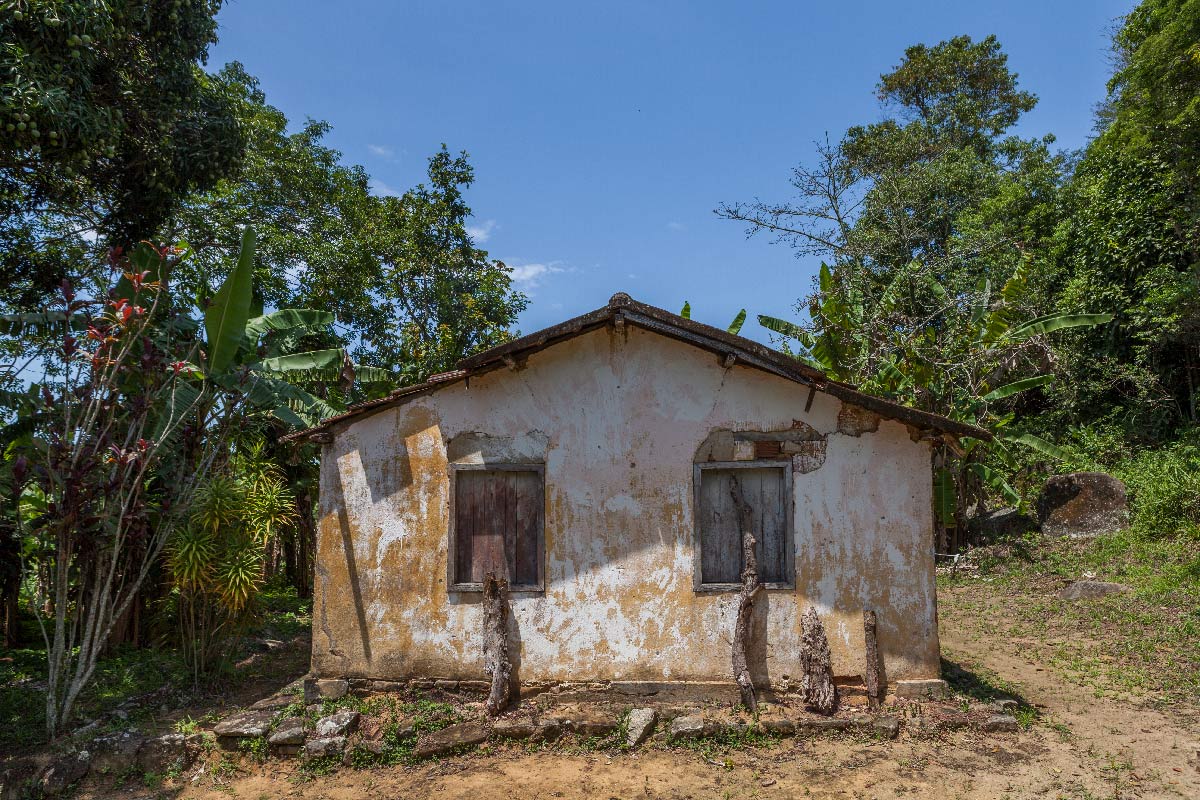
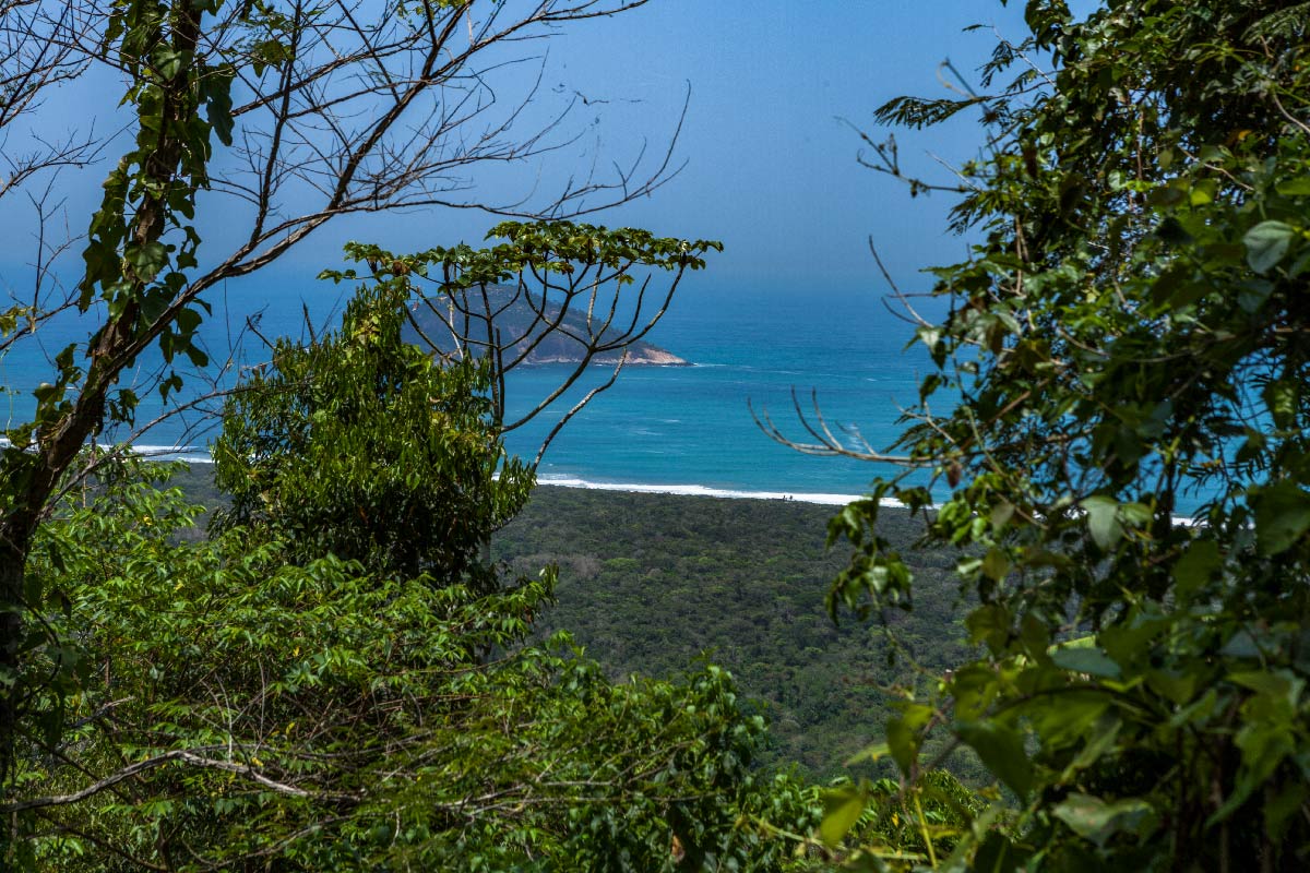
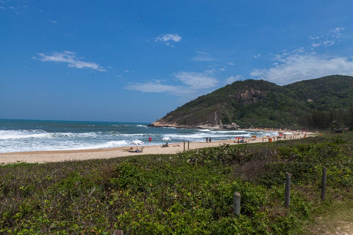
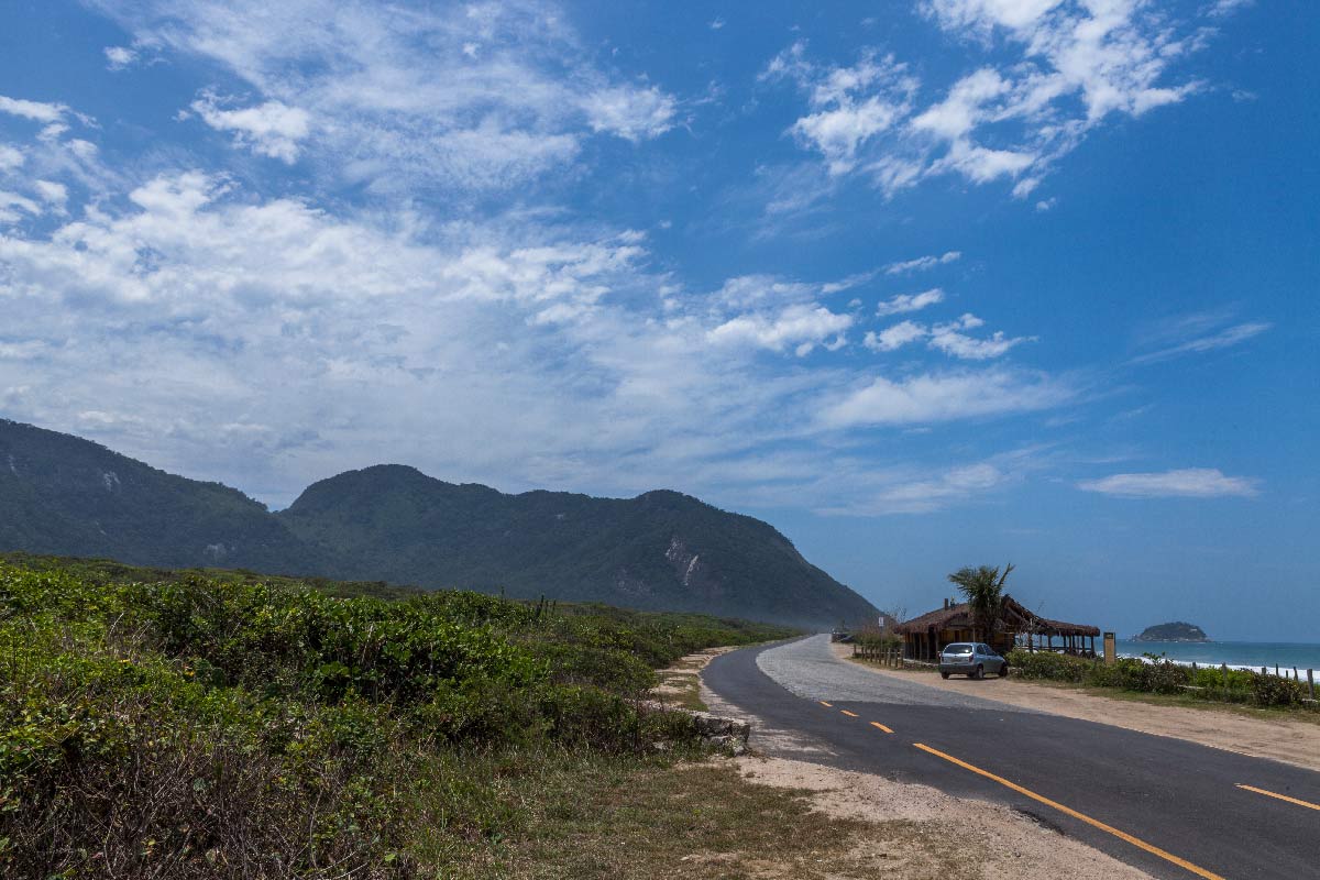
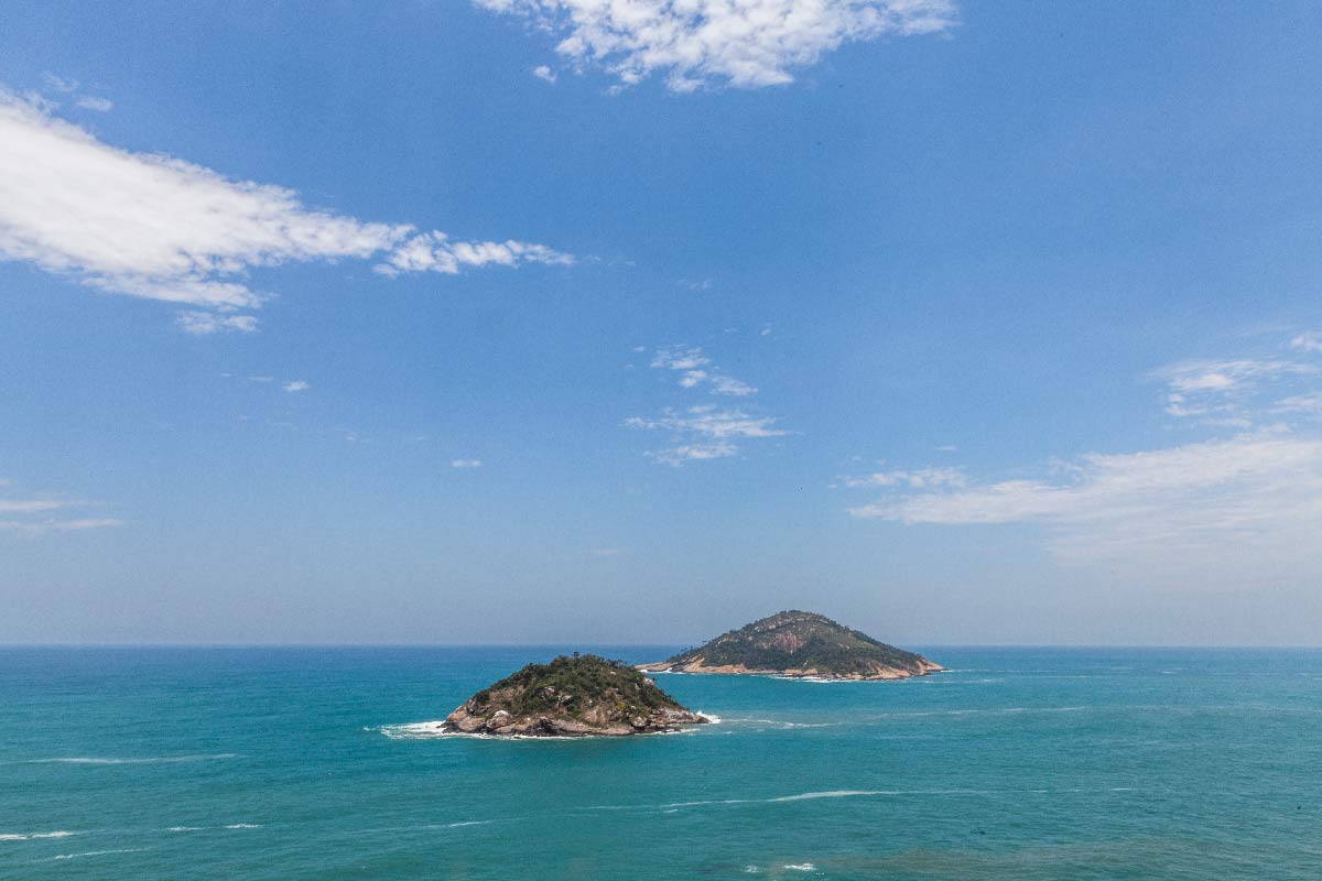
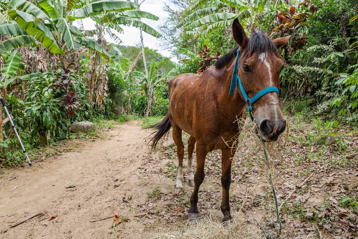
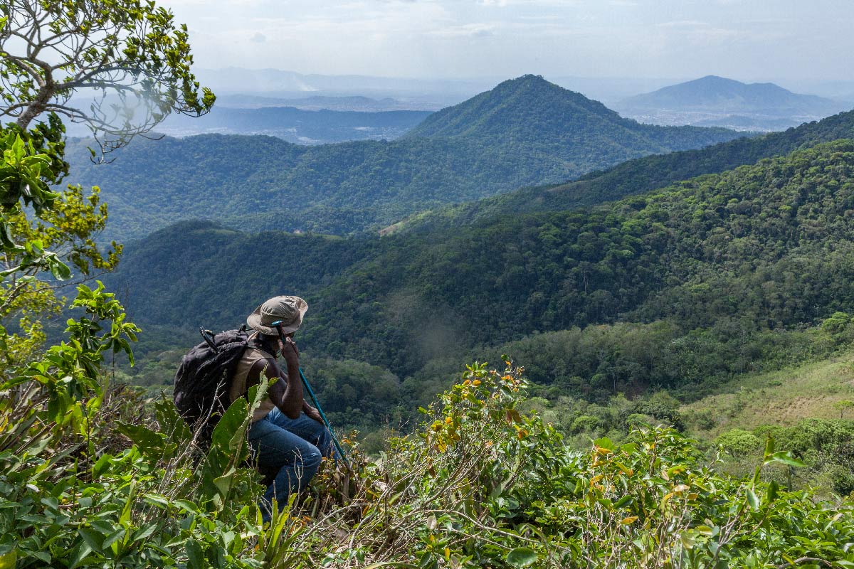
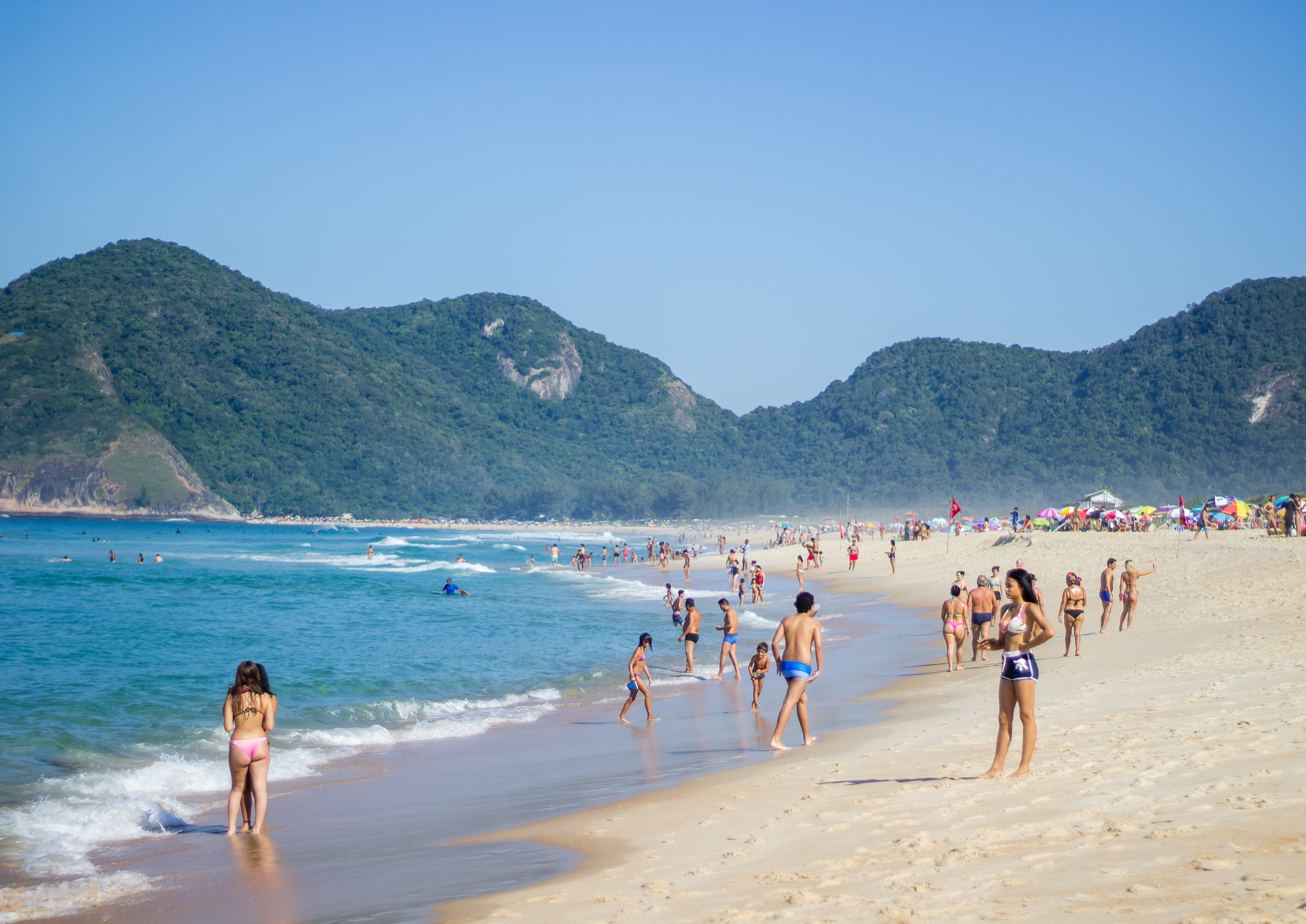
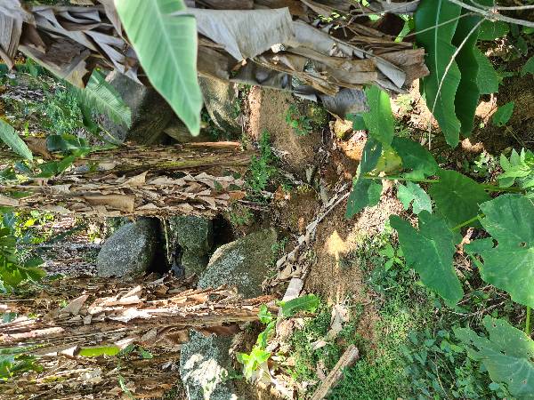
On this path, which connects the Grumari Municipal Natural Park to the Pedra Branca State Park, where French troops marched in 1710, hikers visit the coastal region, cross the Grumari restinga fields near the park headquarters, and pass by the Morro de Santo Antônio da Bica, heading towards Grota Funda, amidst banana trees that blend with the native forest vegetation. Notice the colonial pavement made of 'pé de moleque' stones. At the top of the hills, filled with giant bromeliads, one can observe the view of the West Zone. Visit the Mirante da Bica or Gruta da Bica, and make sure to bring enough water for the entire section.

Activities

Activity Hiking
Time 4h 0m

Guidelines

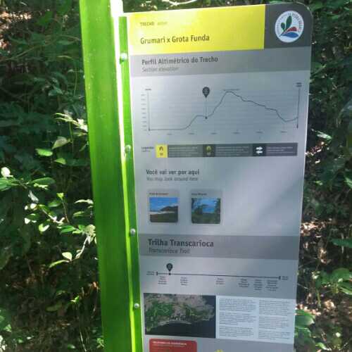
Extension: 6.8 Km
Difficulty Hard
Orientation Moderate
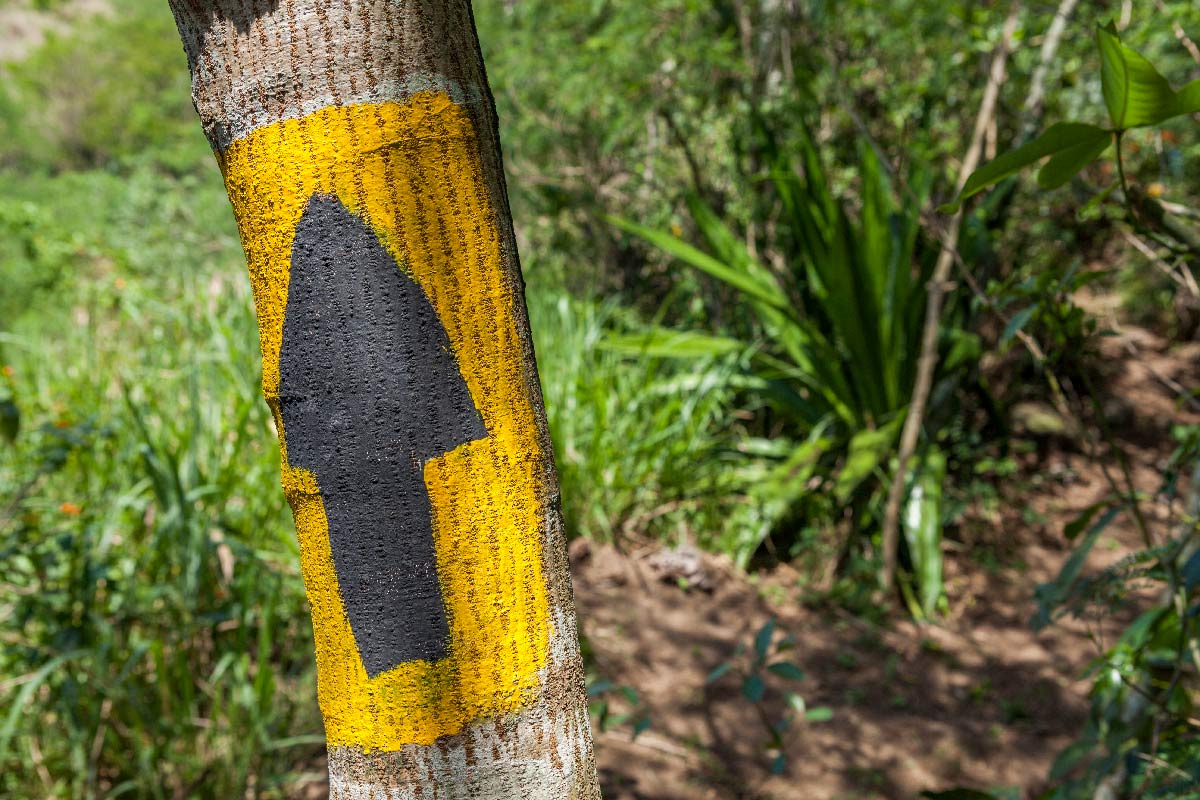
Signaling Level Partial
Conservation Good
Risk Exposure Low
Sun Exposure Low
Hydration Point Available
Climbing No climbing required
Minimum Altitude: 0m
Maximum Altitude: 420m
Negative Unevenness: 470m
Positive Unevenness: 490m

Video

Attractions that the trail offers

Fauna
Viewpoints

What to see on the trail
Trecho 02 - Grumari x Grota Funda is a segment of the following Long-Distance Trail

The trail is located in the following Protected area

5
11 reviews
Elias Cardoso 04/06/2026
Trecho 2 É espetacular, desafio cresce conforme entramos mata a dentro. Quando alcançamos o cume do Morro de Santo Antônio da Bica, já estamos imersos num exemplar de mata Atlântica maravilhosa. a Dificuldade não diminui ao cruzarmos a crista até o Morro da Grota Funda só prepara pra TT
Felipe Nascimento 08/09/2023
esse trecho da trilha está precisando de um cuidado especial, está com pouca sinalização e tbm teve muitas quedas de árvores na trilha. a trilha está quase sumindo, não é muito frequentada com isso o mato está alto ! OBS:sou voluntária para a manutenção do trecho
Andre 12/07/2023
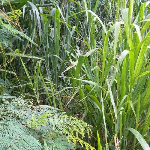
Estive na trilha hoje e atravessei ela toda , aproveitei e sinalize melhor com fita branca. Porém a dica para quem que ir e iniciar pela Grota Funda , onde o caminho é mais fácil de achar . Chegando em Grumari tem muitas bananeiras e plantas rasteiras , então a trilha se perde um pouco , mas nada de dificulta muito.
Andre 05/07/2023
Hoje consegui concluir Grota Funda X Morgado
Wanessafd Castilho 01/05/2023
Início do Trecho 02 há uma placa em frente à praia de Grumari e a Estrada de terra, não tem o nome da rua e há bifurcações no decorrer da rua até real Início da Trilha, um grupo de ciclista que nos orientou, falta sinalização até chegar no início da Trilha (subida).
Kseniia Tomchyk 11/03/2021
Alexandra Golovinskaya 11/03/2021
Marcos Fernandes 09/02/2021

Tips

Entry: Grumari • Grota Funda In the northwest corner of Grumari Beach, the section begins at the square where Av. Estado da Guanabara and R. Prof. Francisca Caldeira meet, to the left of someone facing away from the sea. Entry: Grota Funda • Grumari On Avenida Arthur Xexéo, at the corner with Av. das Américas, at the height of km 2.5, to the right of someone heading towards Barra da Tijuca. The trail is mapped with an exit through Piabas, one of the alternatives for entering or exiting the section.

Warnings
Environmental conservation
30/12/2022
Environmental conservation
07/09/2022
Environmental conservation
12/05/2021
Security
11/05/2021
Others
27/02/2021
Others
28/07/2020
Security
22/07/2020
Environmental conservation
01/04/2020
Environmental conservation
31/05/2019
Environmental conservation
31/05/2019
Environmental conservation
27/04/2019
Security
15/04/2019
Environmental conservation
25/06/2018
Environmental conservation
08/01/2018
Environmental conservation
04/01/2018
Environmental conservation
04/01/2018
Environmental conservation
04/01/2018
Environmental conservation
06/10/2017
Environmental conservation
06/10/2017
Environmental conservation
14/09/2017
Environmental conservation
13/09/2017
Environmental conservation
13/09/2017

Map

Guidelines

Extension: 6.8 Km
Difficulty: Hard
Orientation: Moderate
Signaling Level: Partial
Minimum Altitude: 0m
Maximum Altitude: 420m
Negative Unevenness: 470m
Positive Unevenness: 490m
Compartilhar