Trecho 04 - Morgado x Rio da Prata
Description
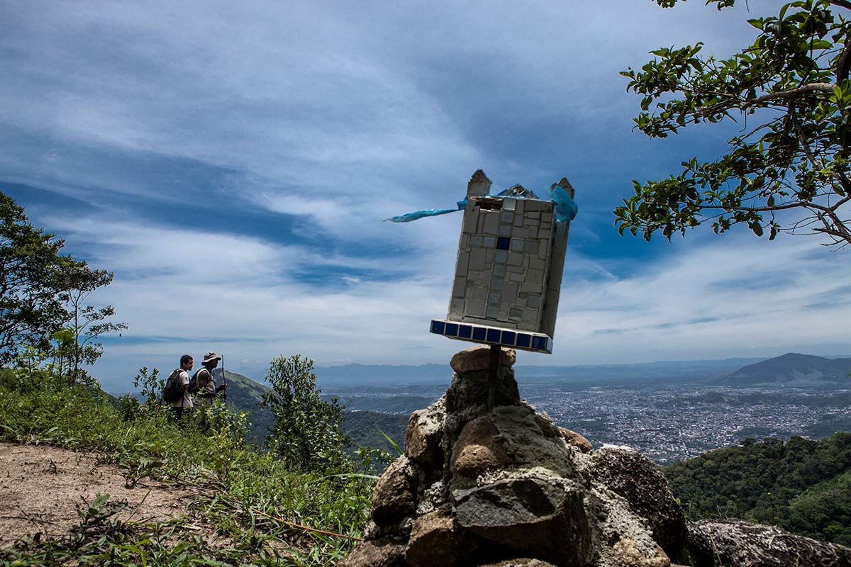
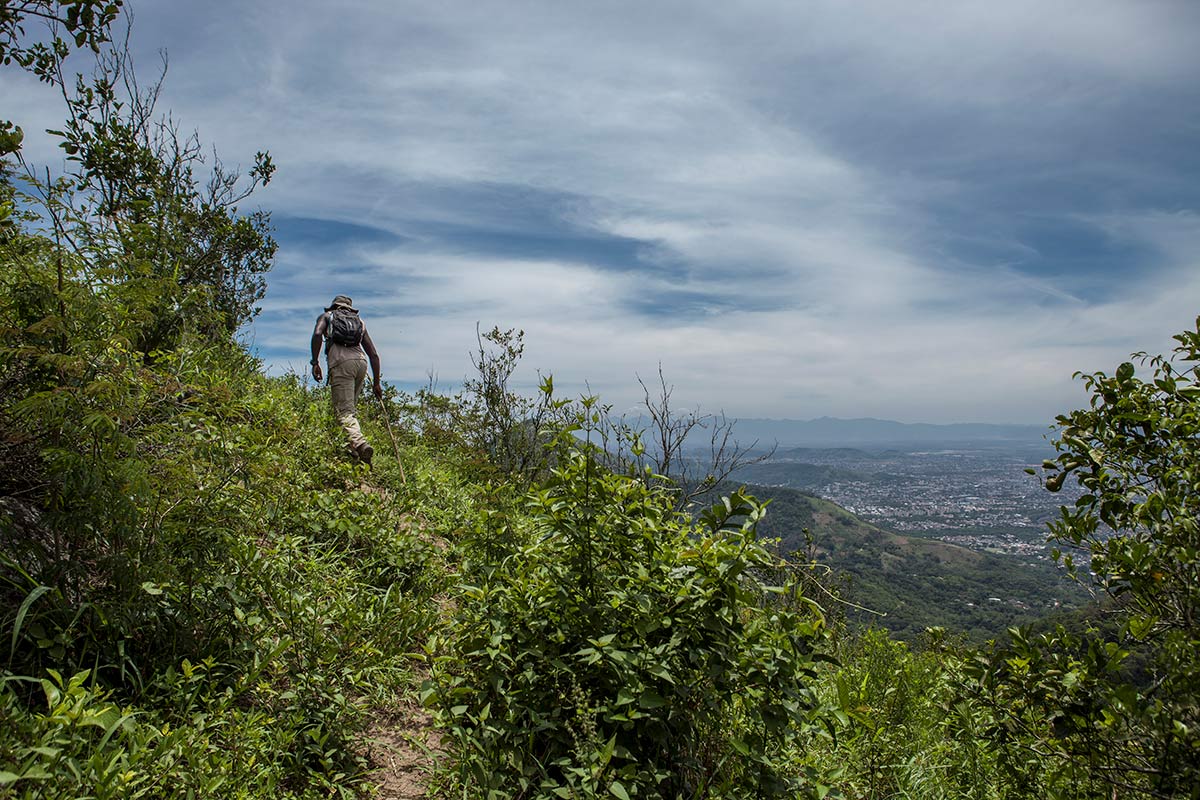
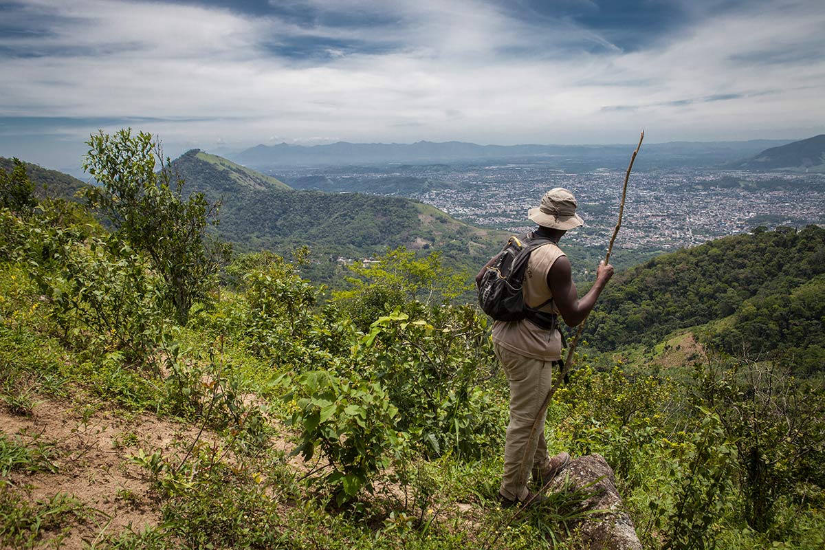
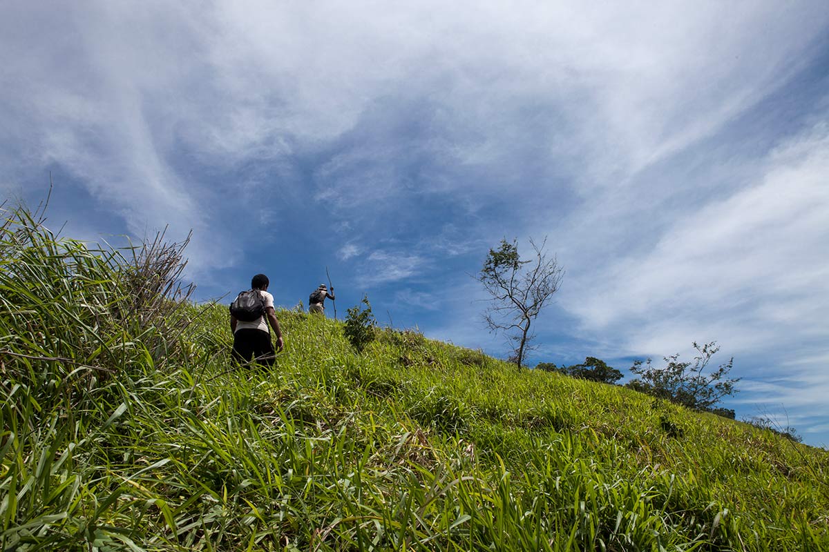
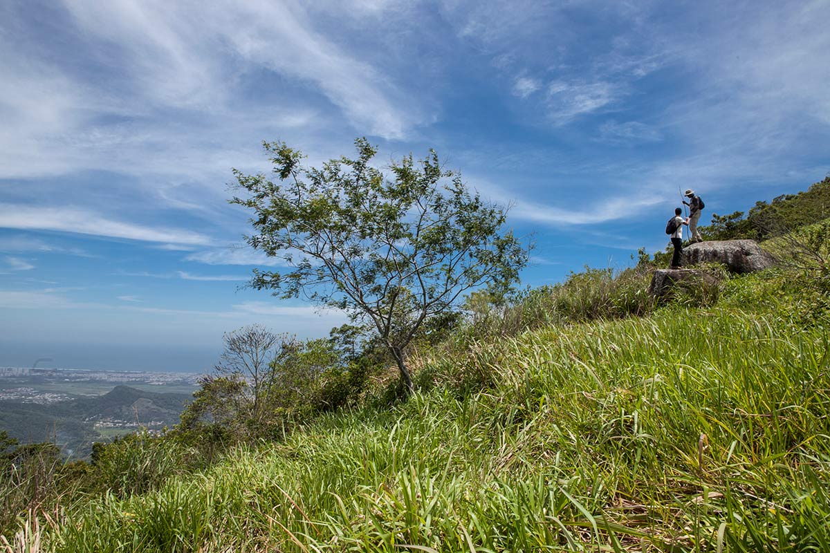
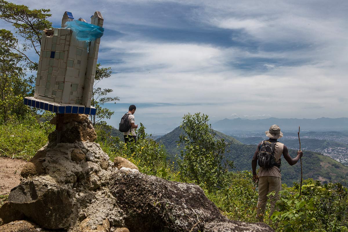
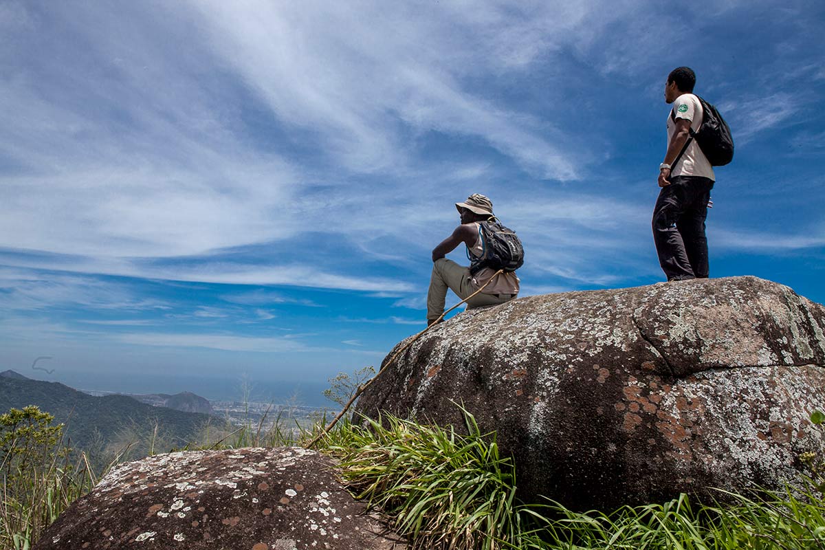
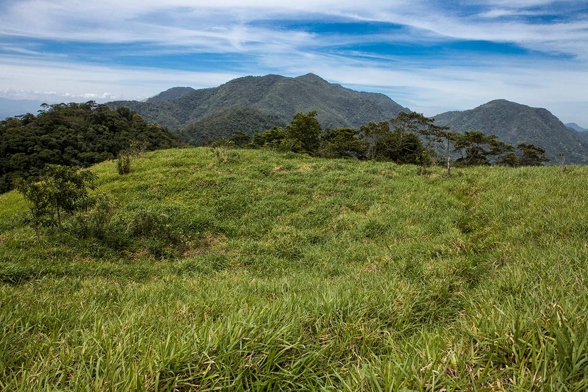
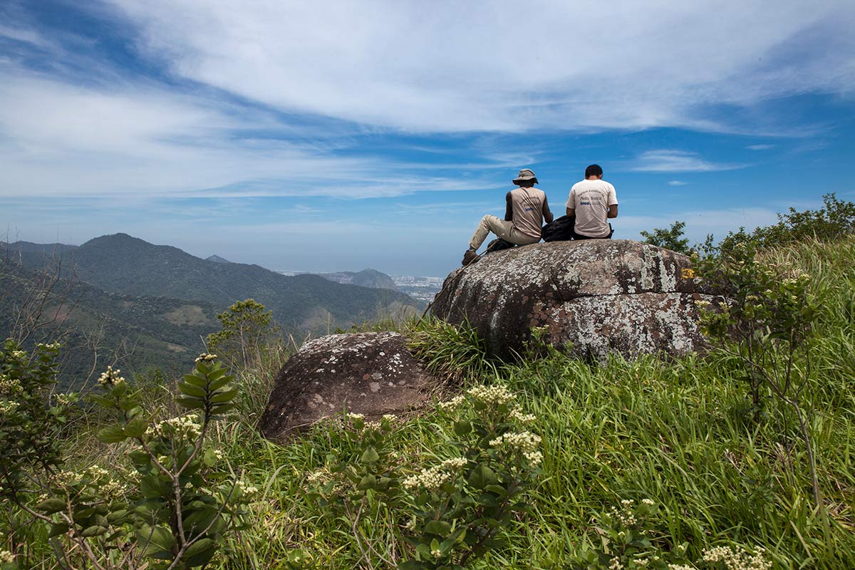
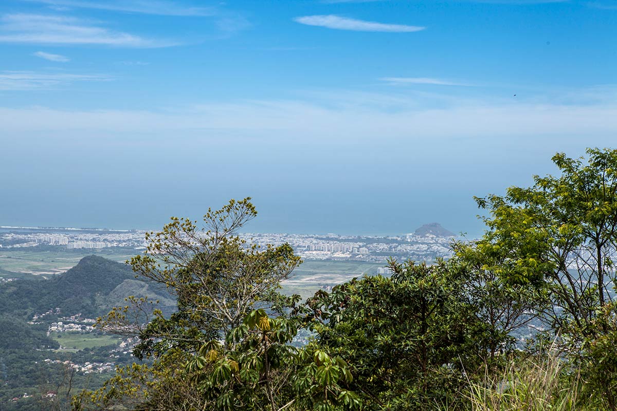
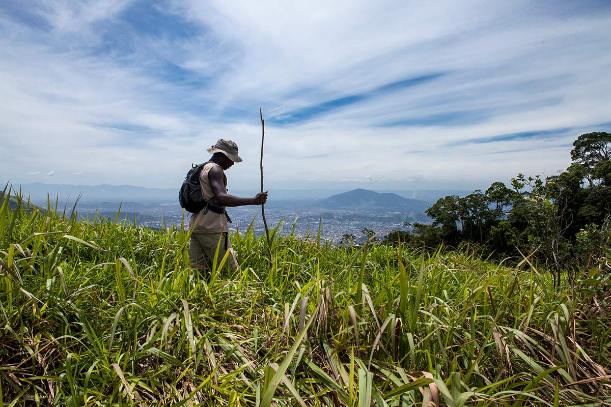
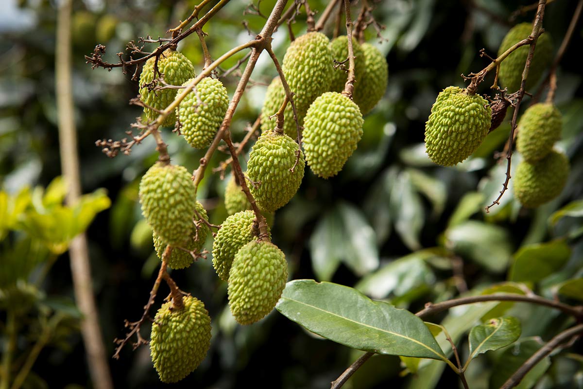
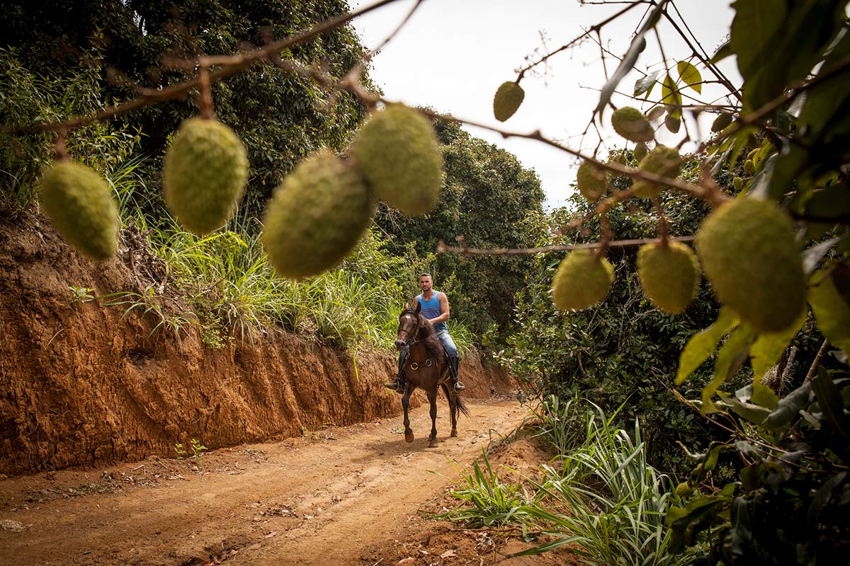
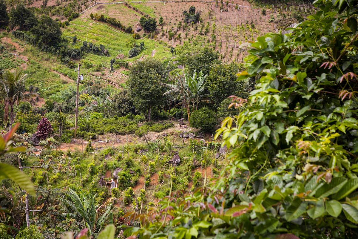
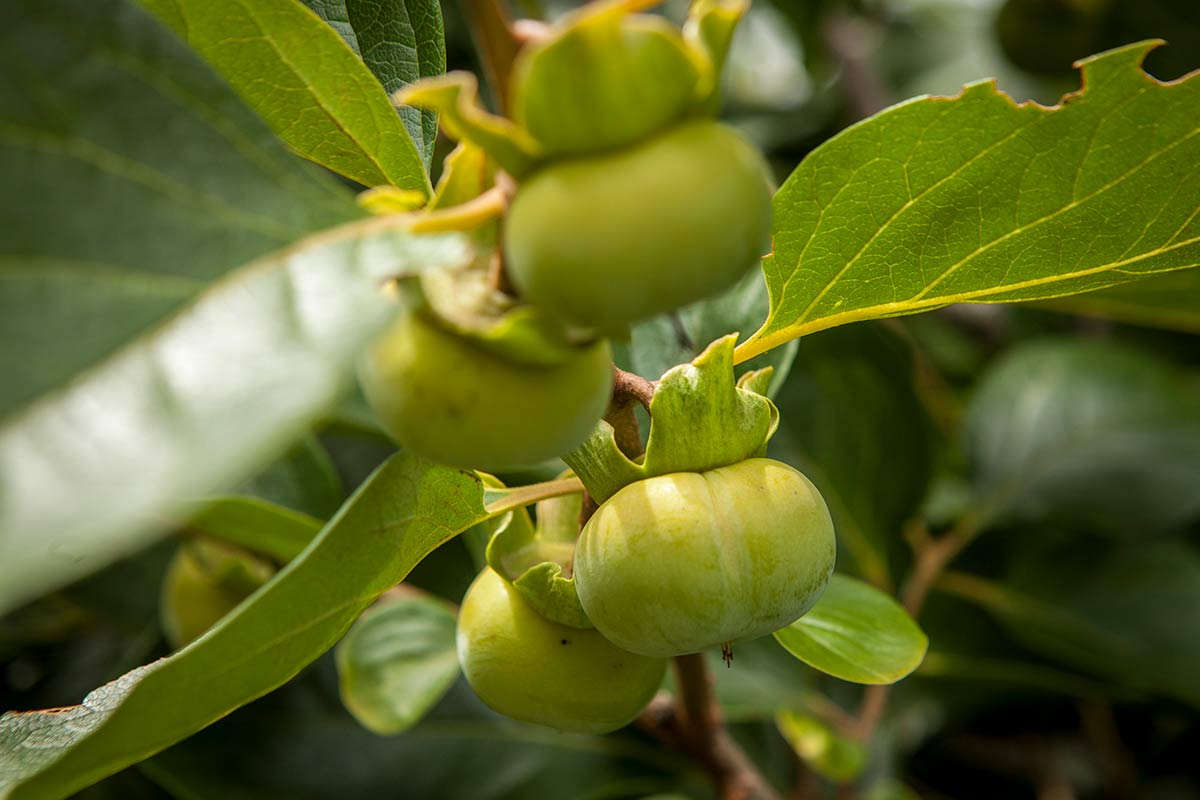
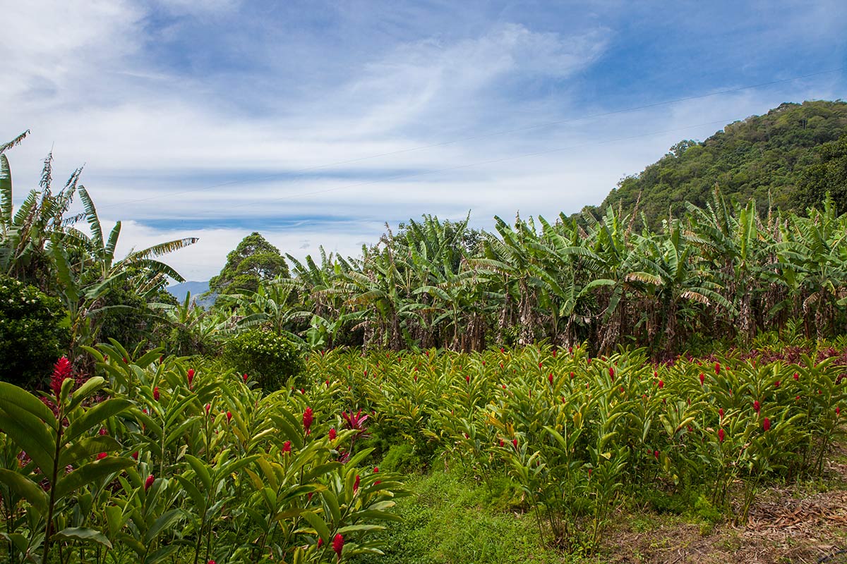
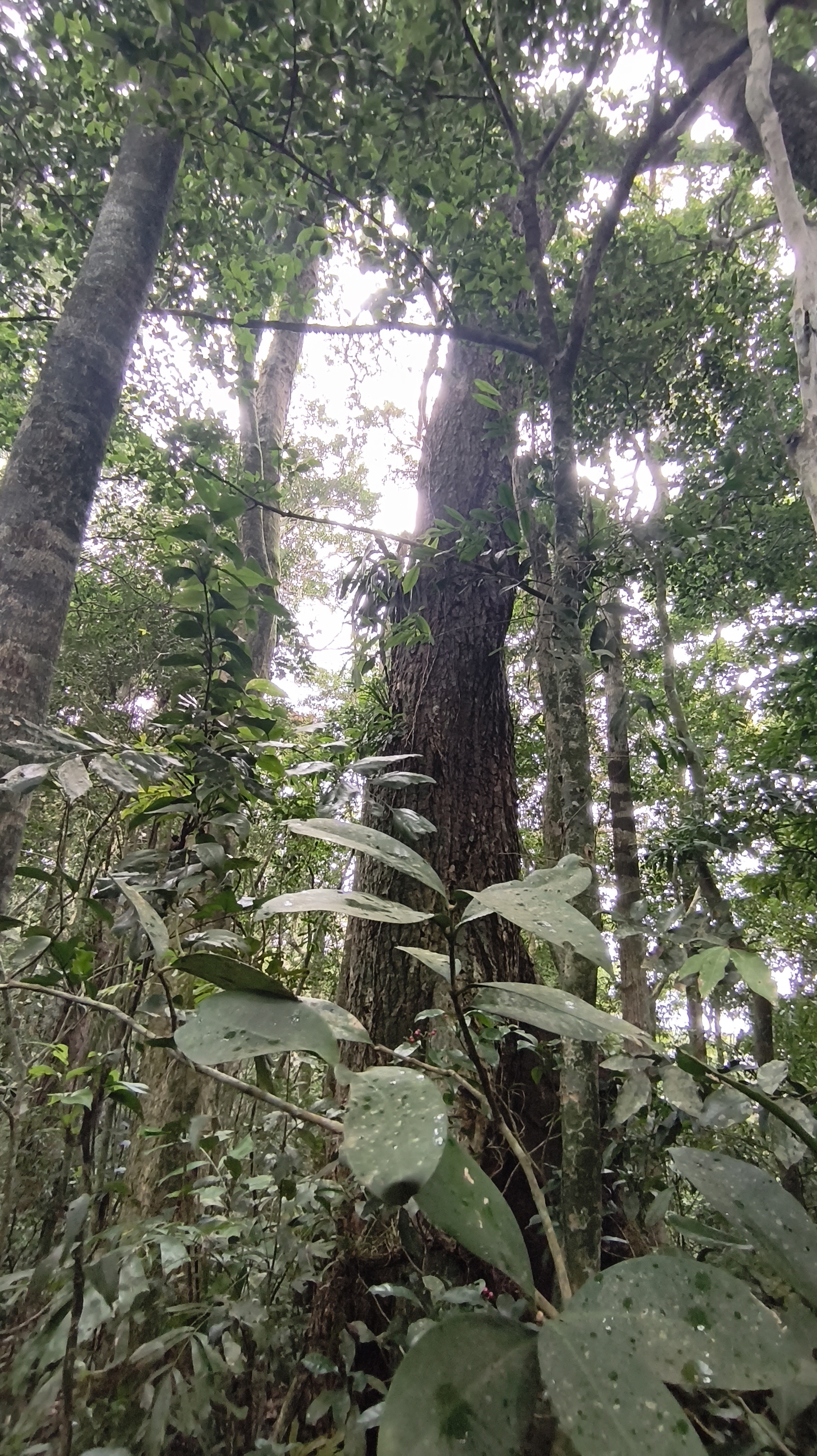
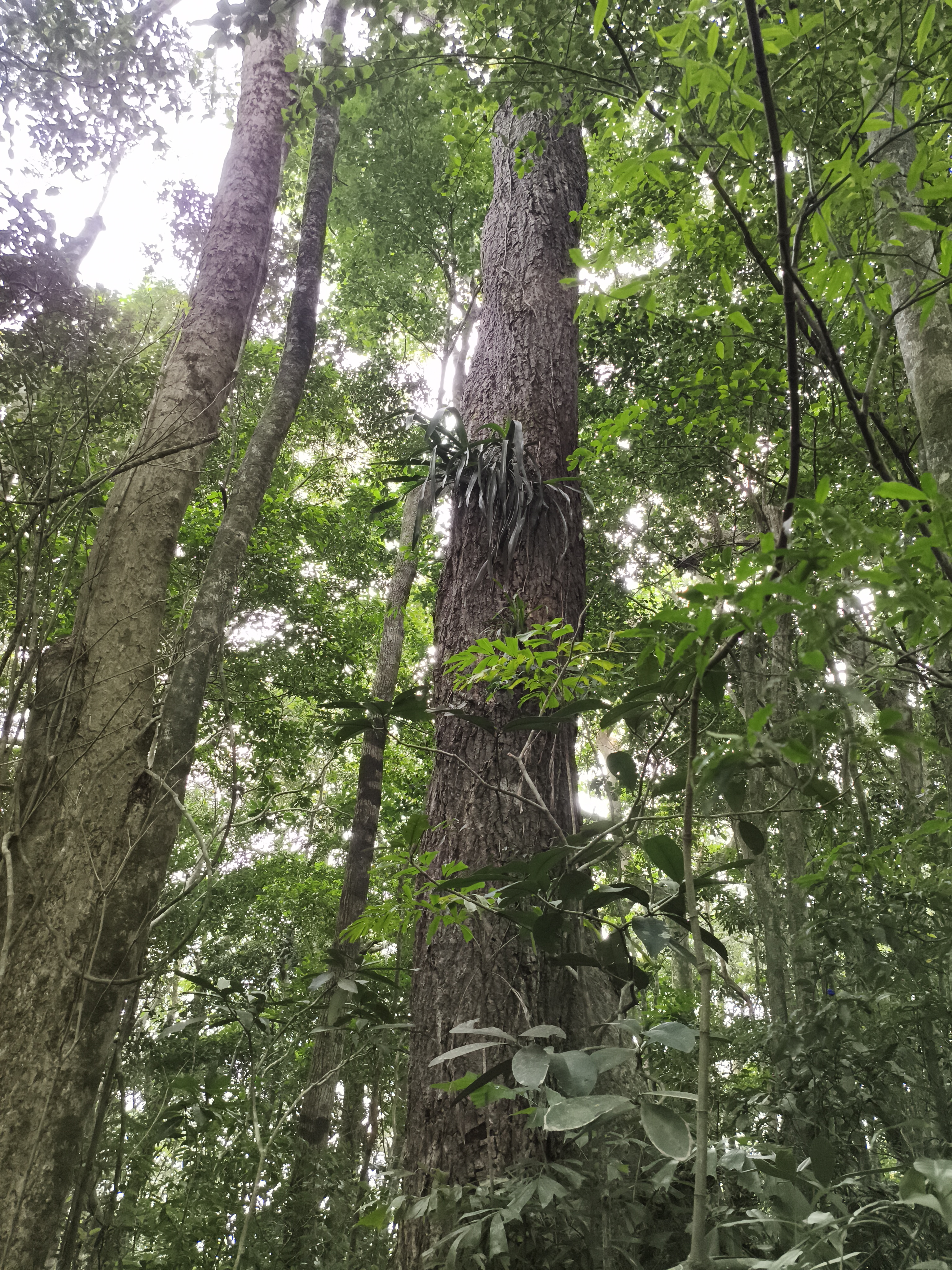
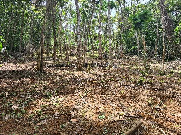
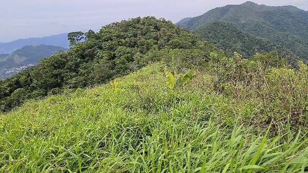
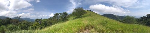
Discover the rural side of Rio in this region known as the "sertão carioca." Of all the sections of the Transcarioca Trail, this one stands out the most for its rural environment amidst the hustle and bustle of the metropolis. Enjoy the views from Alto da Bela Vista and Alto da Capelinha. To this day, this section remains an important route for agricultural products, especially fruits, organic vegetables, and the raising of small animals. Various crops have been developed on the local farms by families for many generations. Attention to the alternative route: in Cabungui, at the top of the ridge, there is a shorter alternative of the Transcarioca Trail that goes directly to Casa Amarela (the point of the next section). In this case, you walk along the ridge without descending to the Rio da Prata. The fork is at Alto da Capelinha, one of the main attractions of the section, which can shorten the path by about 6 km.
Activities

Guidelines
 Extension: 11.5 Km
 Difficulty Hard
 Orientation Hard
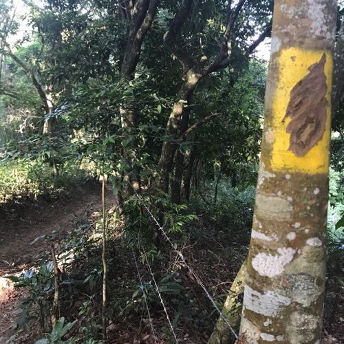
 Signaling Level Partial
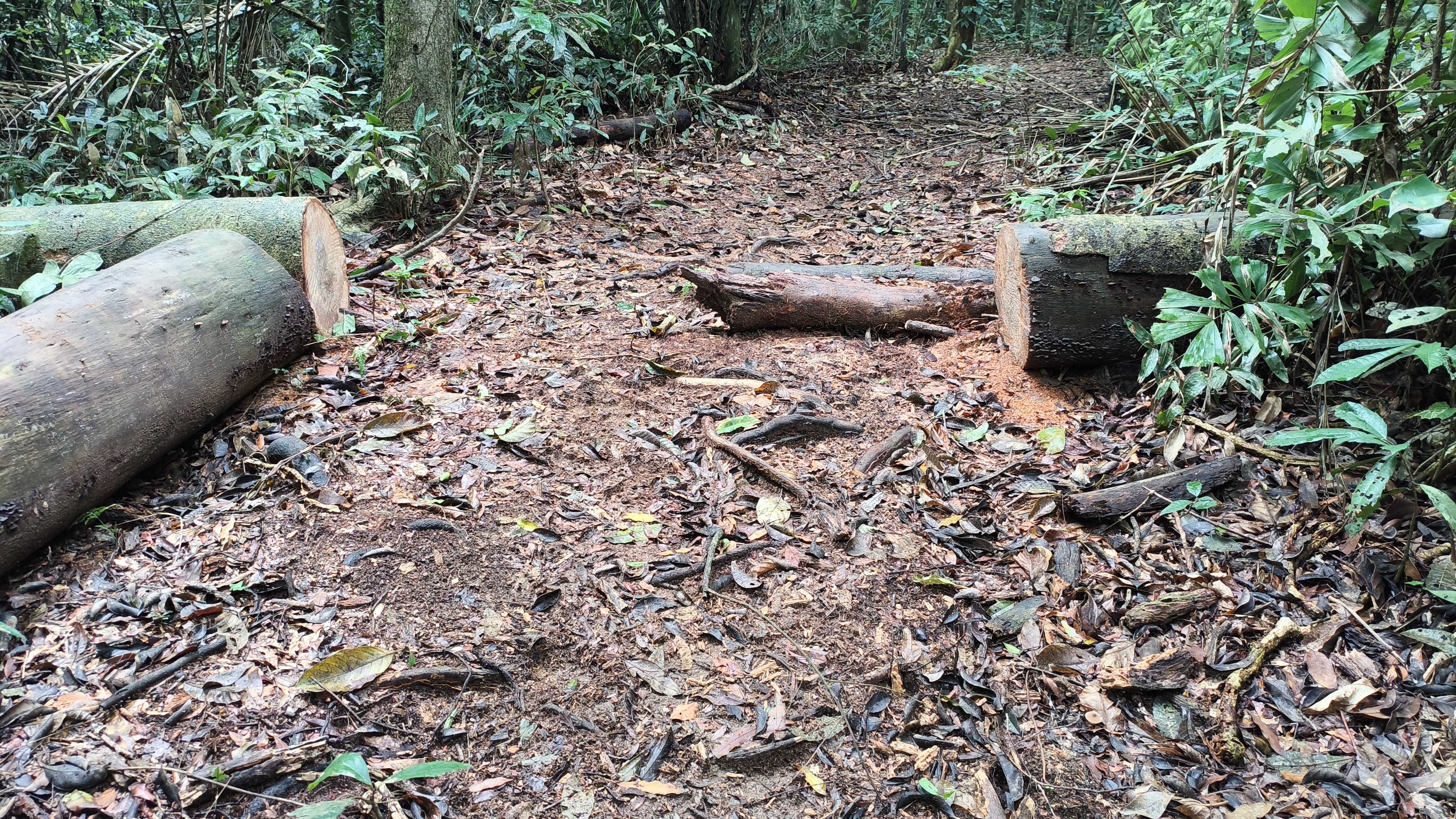
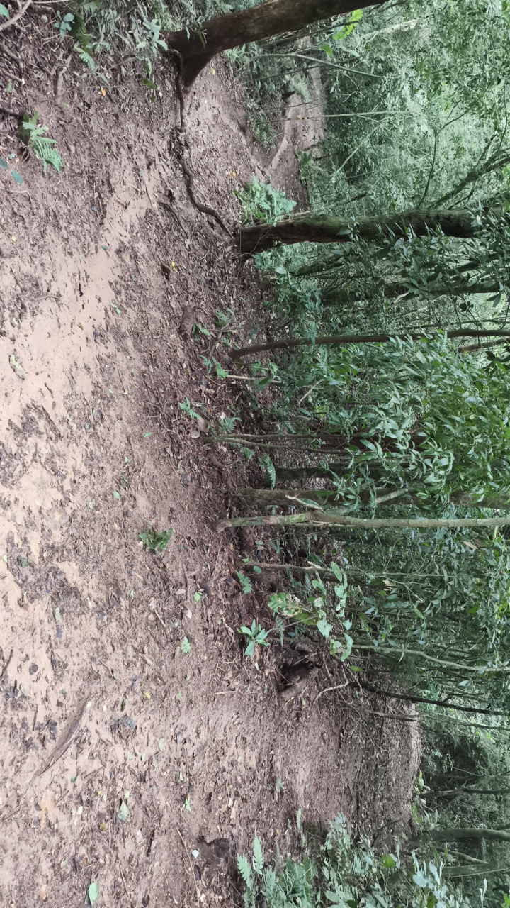
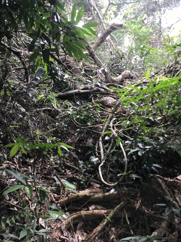
 Conservation Bad
 Risk Exposure Medium
 Sun Exposure Medium
 Hydration Point Available
 Climbing No climbing required
 Minimum Altitude: 11m Maximum Altitude: 620m
 Negative Unevenness: 1035m
 Positive Unevenness: 1130m
Attractions that the trail offers
 Fauna
 Viewpoints
Trecho 04 - Morgado x Rio da Prata is a segment of the following Long-Distance Trail

The trail is located in the following protected area



Warnings


Map
Guidelines
Extension: 11.5 KmDifficulty: HardOrientation: HardSignaling Level: PartialMinimum Altitude: 11m Maximum Altitude: 620m Negative Unevenness: 1035m Positive Unevenness: 1130m