Trecho 05 - Rio da Prata x Casa Amarela
Description
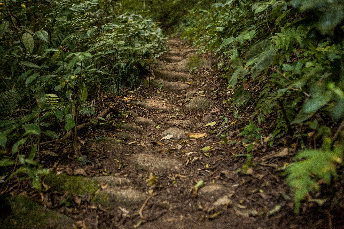
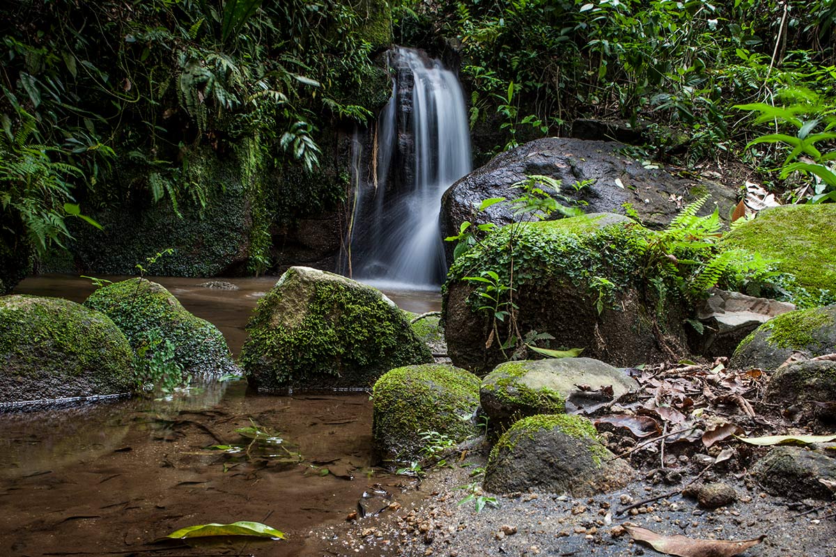
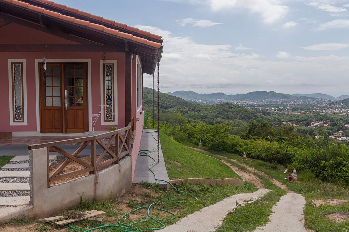
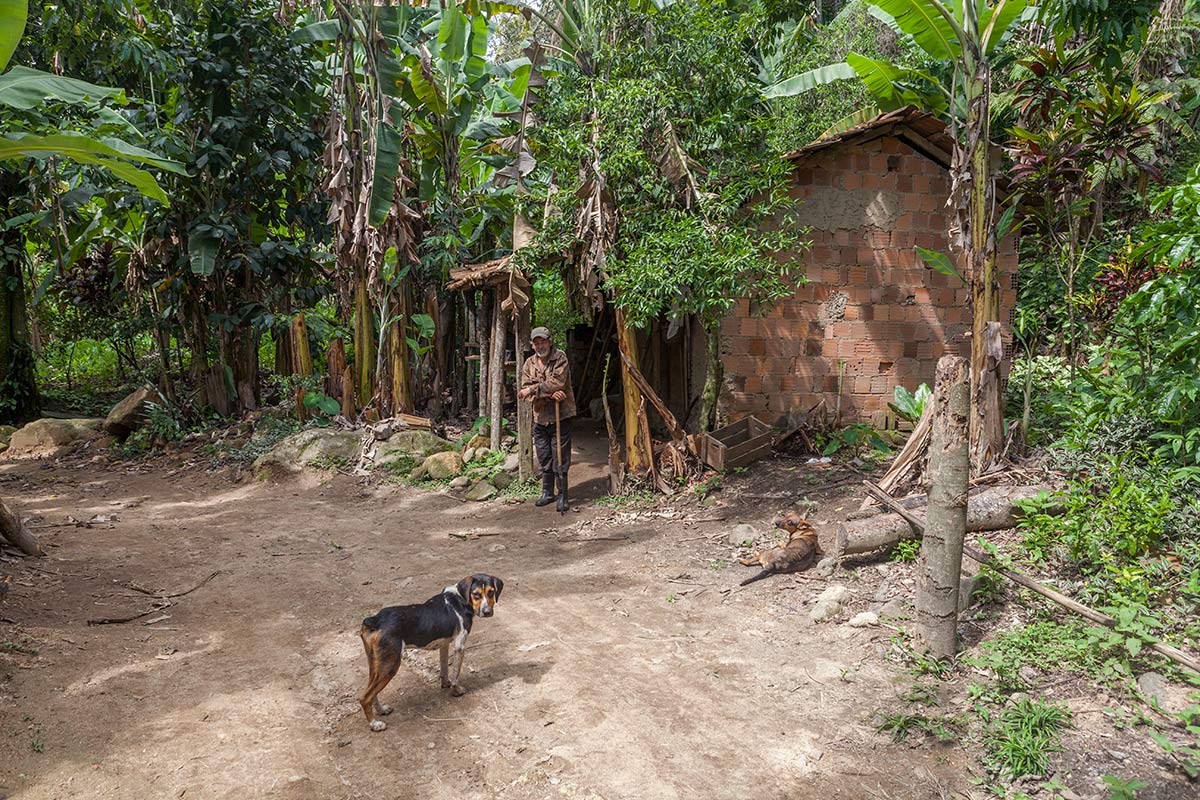
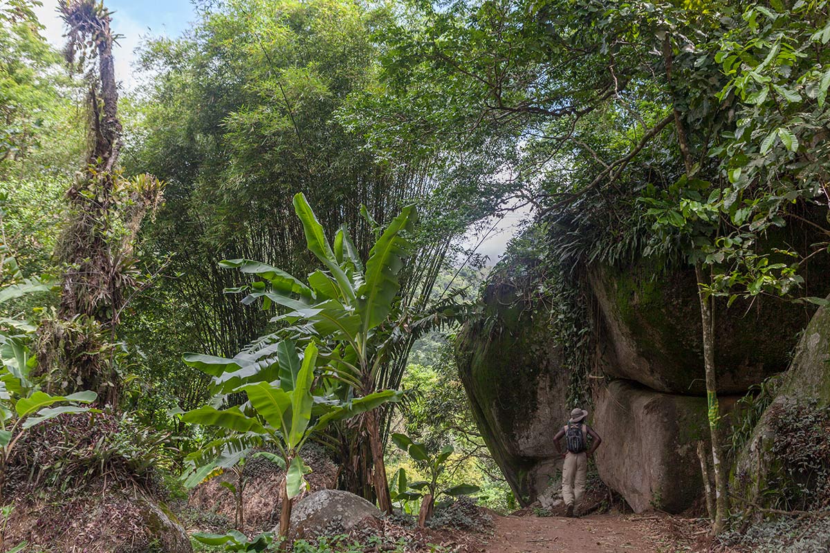
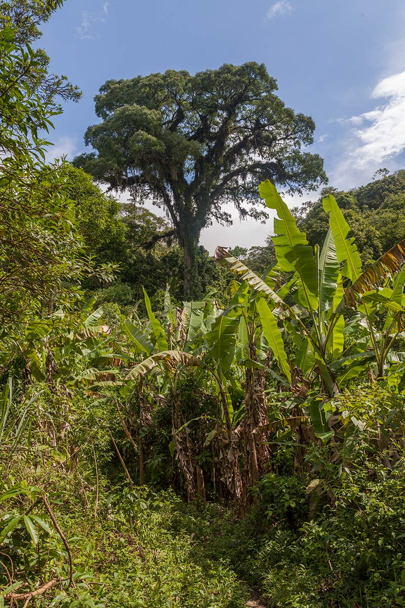
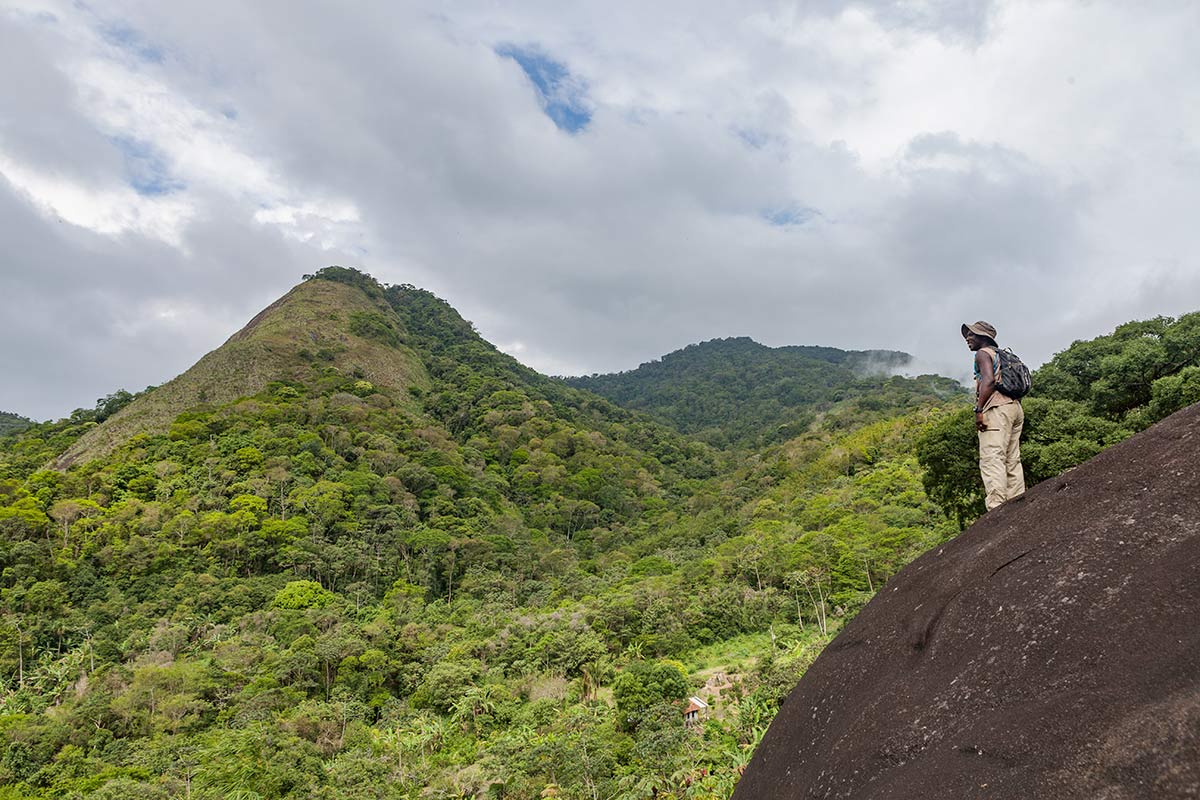
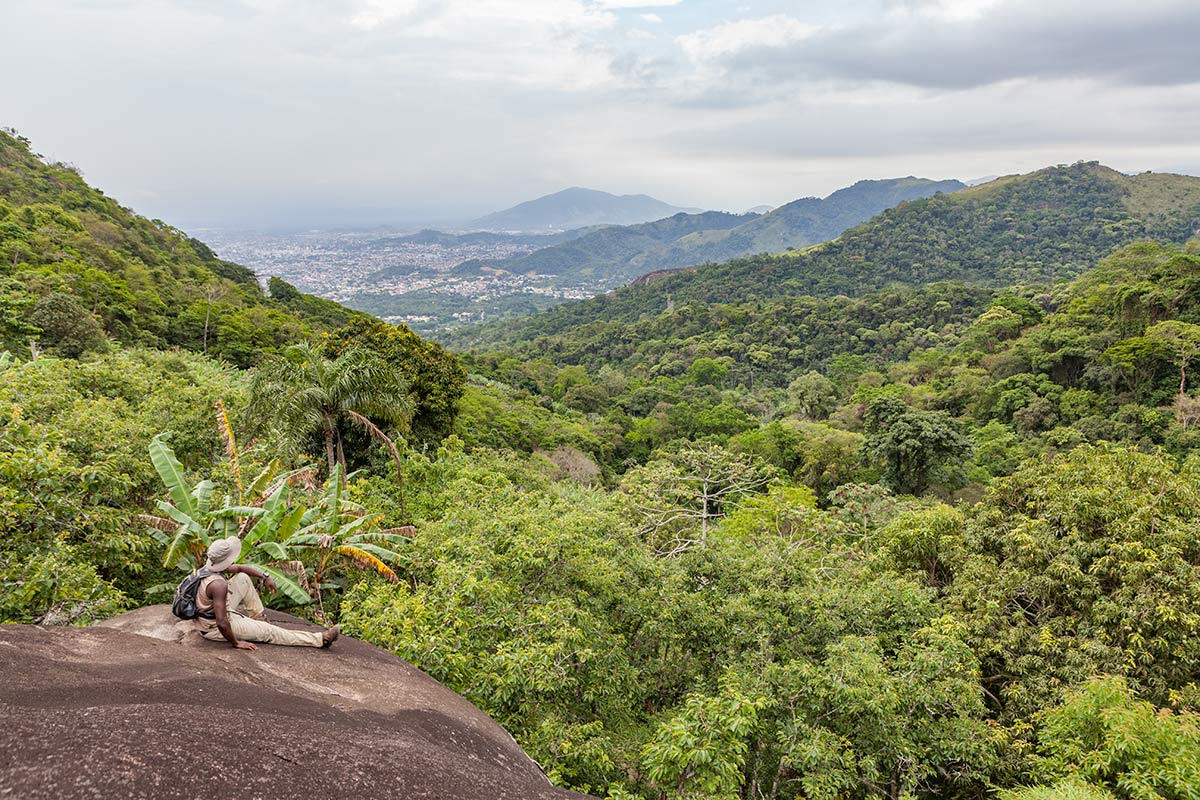
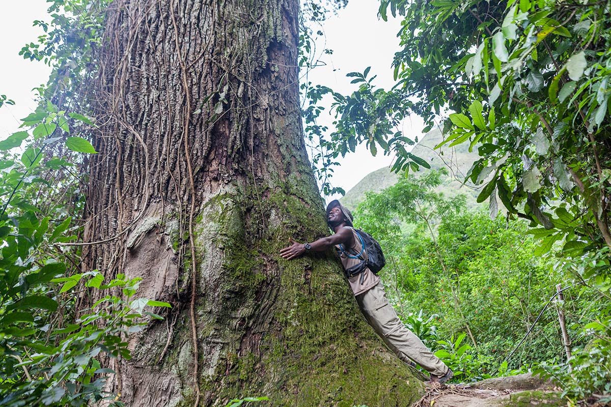
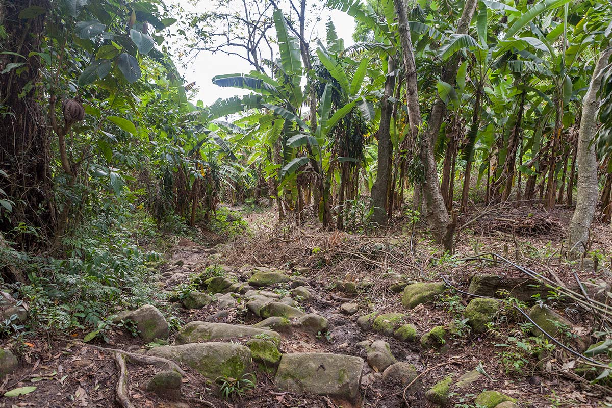
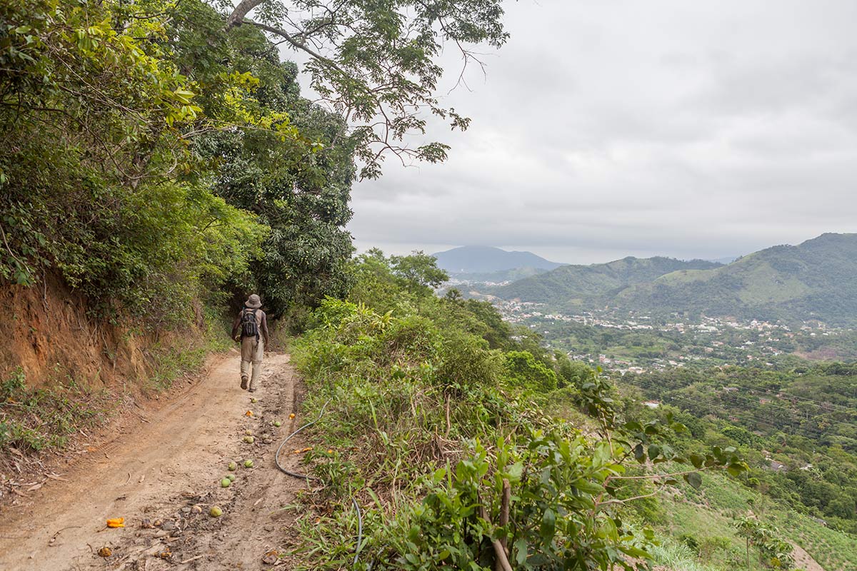
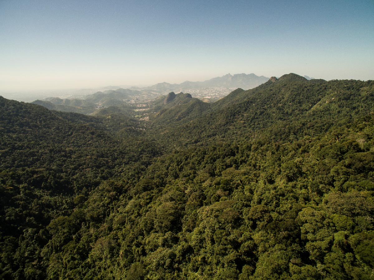
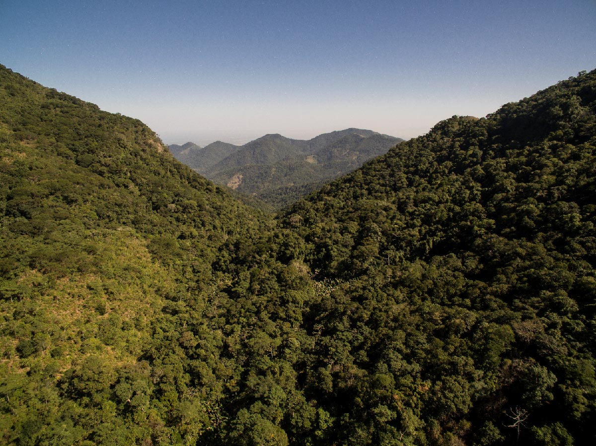
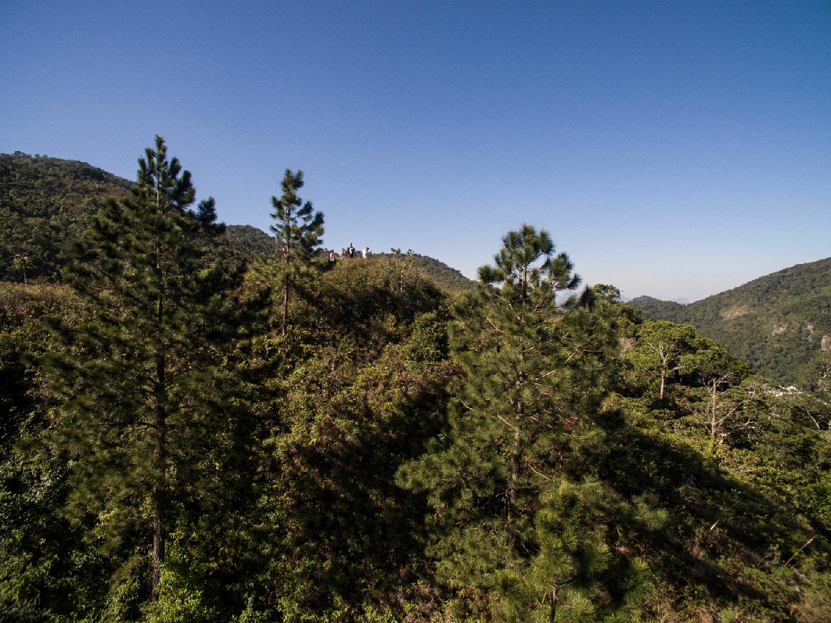
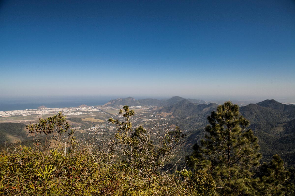
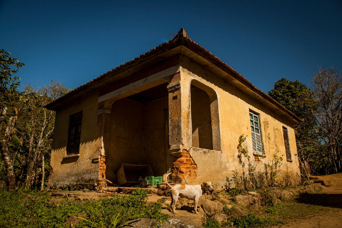
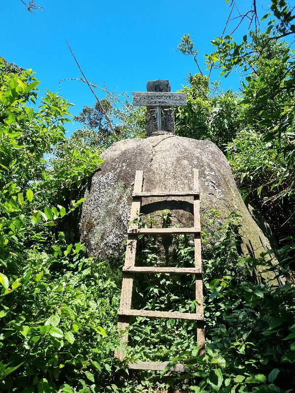
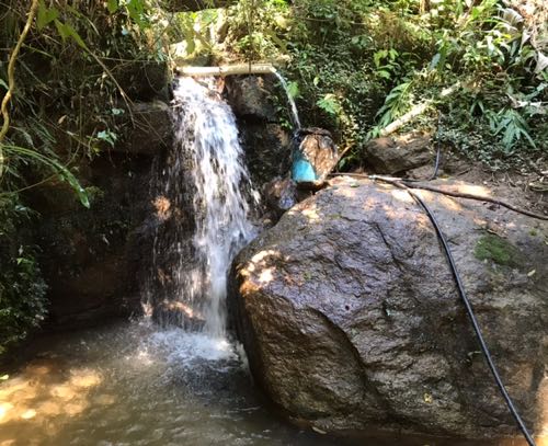
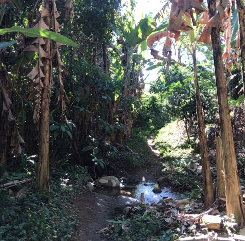
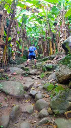
To access this section from the asphalt, it is necessary to first take a connecting trail. From Pau da Fome, a two-hour trail connects the headquarters of the Pedra Branca Park to Casa Amarela, an old house from the Santa Bárbara Mill. Since the section is high in the mountains, the feeling is of being in a wild environment, perfect for enjoying the silence and the sounds of the forest. Along the way, you will find varied vegetation, numerous springs, rare bromeliads, giant ferns, a 250-year-old jequitibá tree, and historic cobblestones. The highlight of the section is Alto do Mangalarga, offering a 360º view of the Pedra Branca Massif, where you can also see the Tijuca Massif, Guanabara Bay, and Pedra do Quilombo, as well as the coastline of Barra da Tijuca, Recreio dos Bandeirantes, Grumari, and Restinga da Marambaia. Be sure to take the round trip to Pico da Pedra Branca, the highest point of the Trilha Transcarioca, at 1,024 m. An alternative is to take the trail that connects Cabungui to Casa Amarela without needing to descend to Rio da Prata. Or, heading East x West, take the trail that connects Casa Amarela to Cabungui without needing to descend to Rio da Prata.
Activities

Guidelines
 Extension: 8 Km
 Difficulty Hard
 Orientation Moderate
 Signaling Level Partial
 Conservation Good
 Risk Exposure Low
 Sun Exposure Medium
 Hydration Point Available
 Climbing No climbing required
 Minimum Altitude: 121m Maximum Altitude: 770m
 Negative Unevenness: 859m
 Positive Unevenness: 404m
Attractions that the trail offers
 Fauna
 Viewpoints
 Ruins
Trecho 05 - Rio da Prata x Casa Amarela is a segment of the following Long-Distance Trail

The trail is located in the following protected area




Warnings
Map
Guidelines
Extension: 8 KmDifficulty: HardOrientation: ModerateSignaling Level: PartialMinimum Altitude: 121m Maximum Altitude: 770m Negative Unevenness: 859m Positive Unevenness: 404m