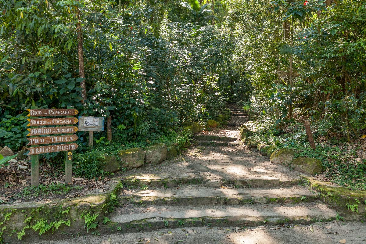
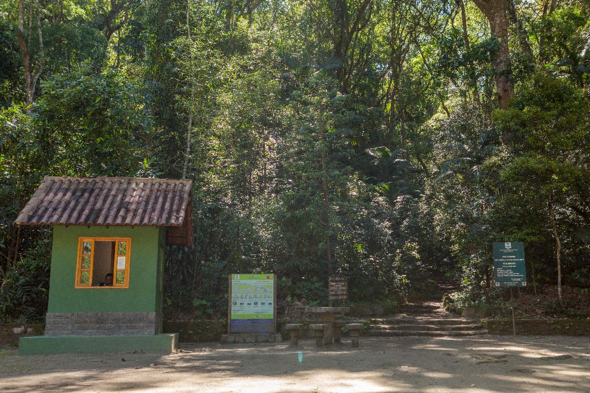
Trecho 11 - Represa dos Ciganos x Bom Retiro

4.4

Description

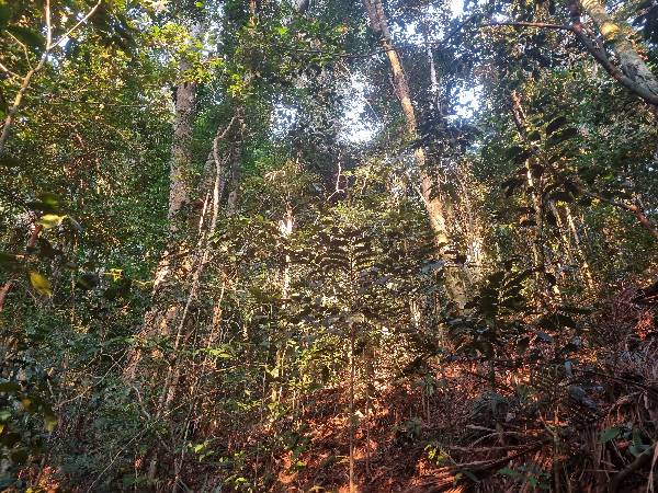
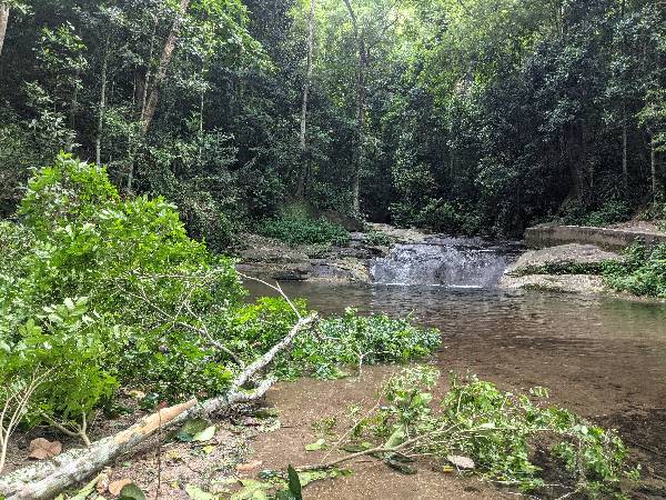
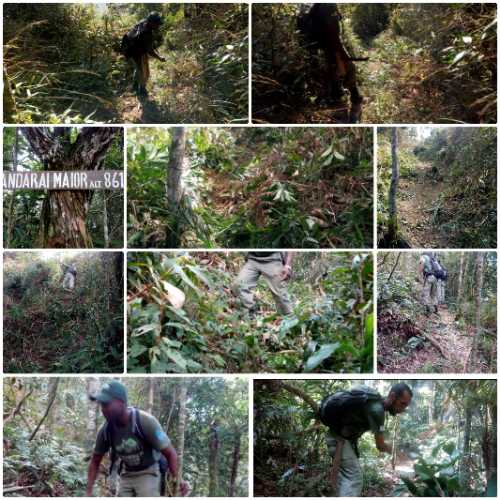
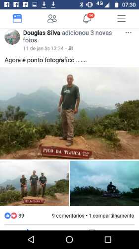
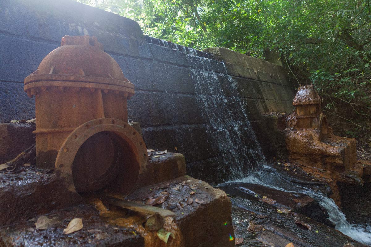
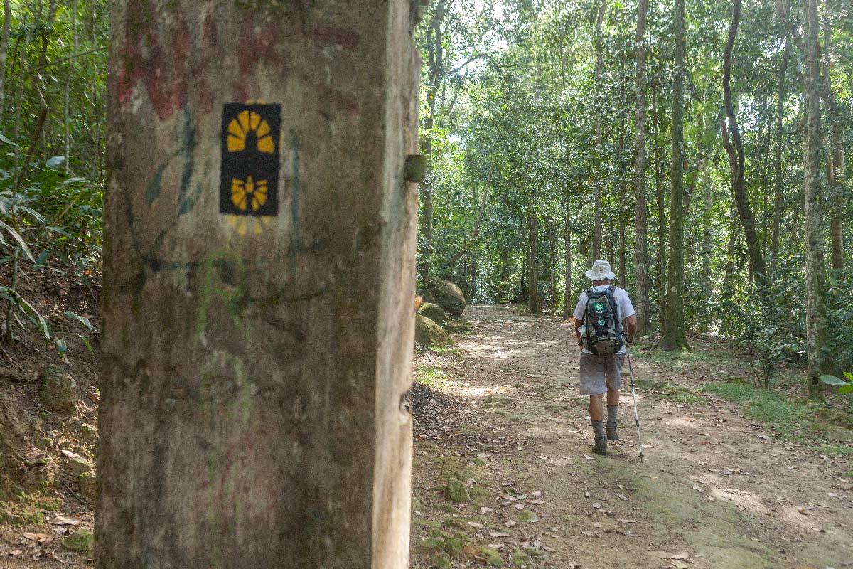
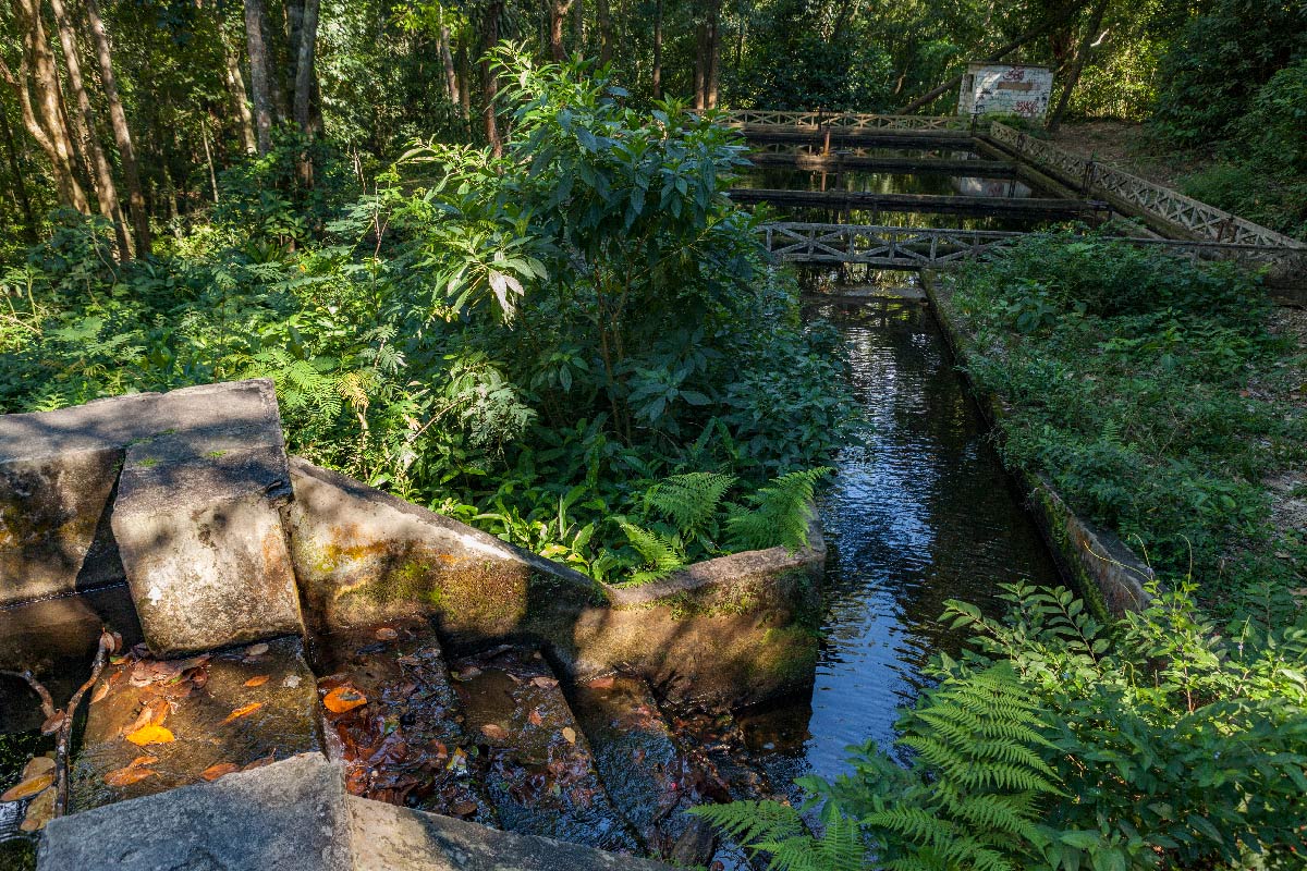
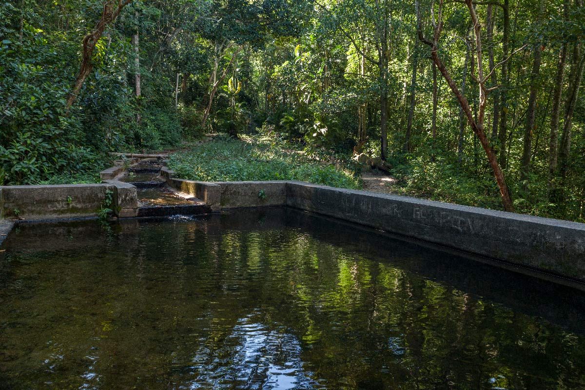
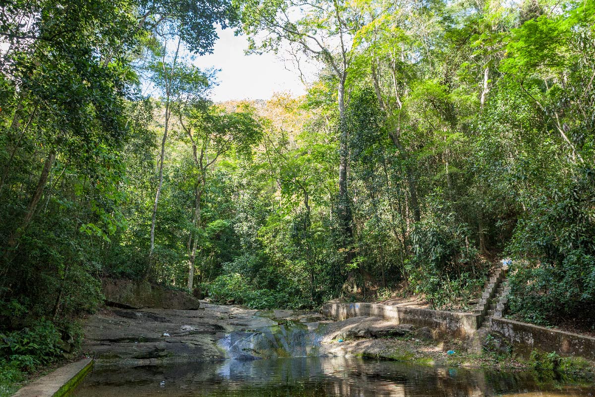
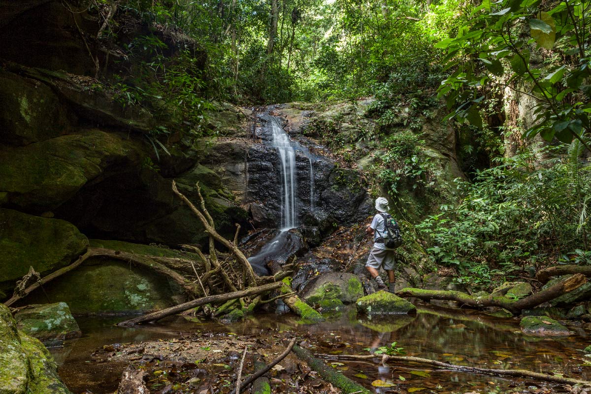
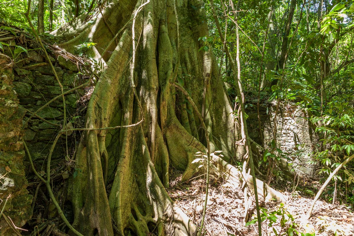
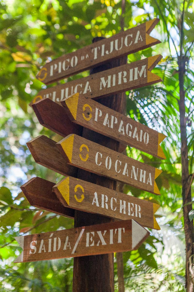
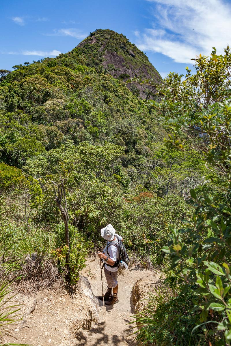
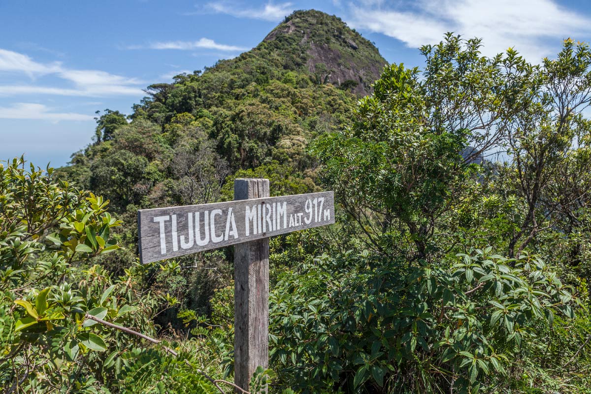
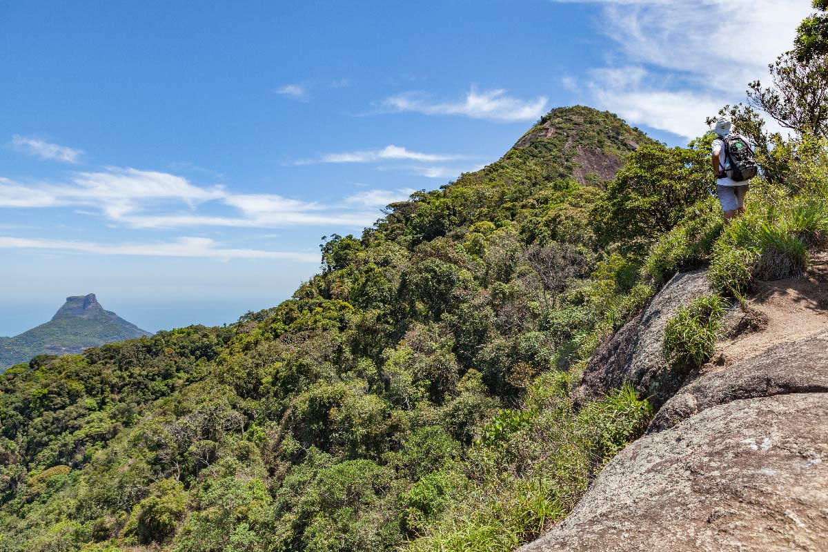
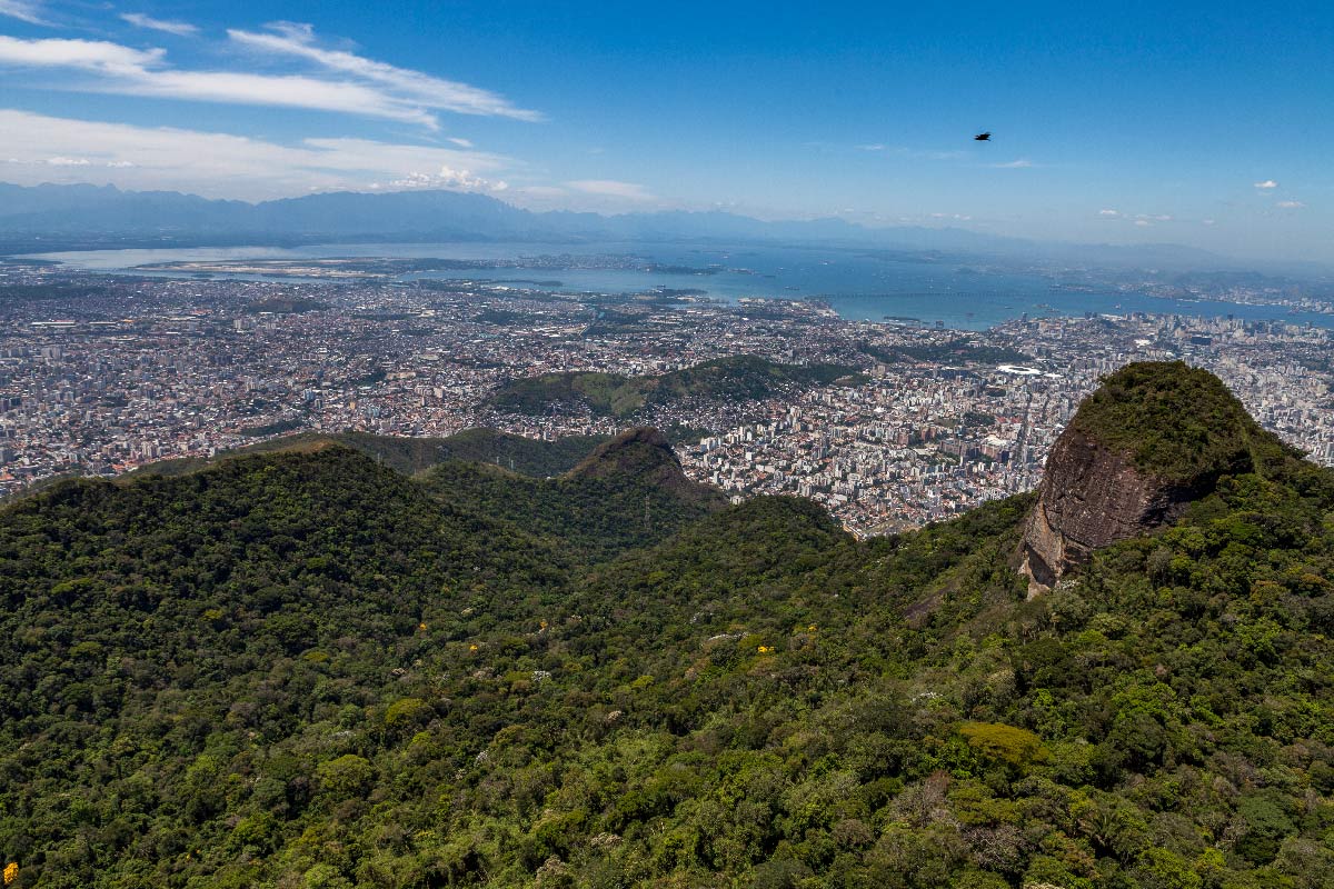
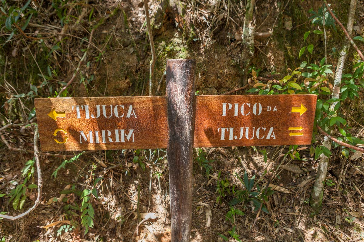
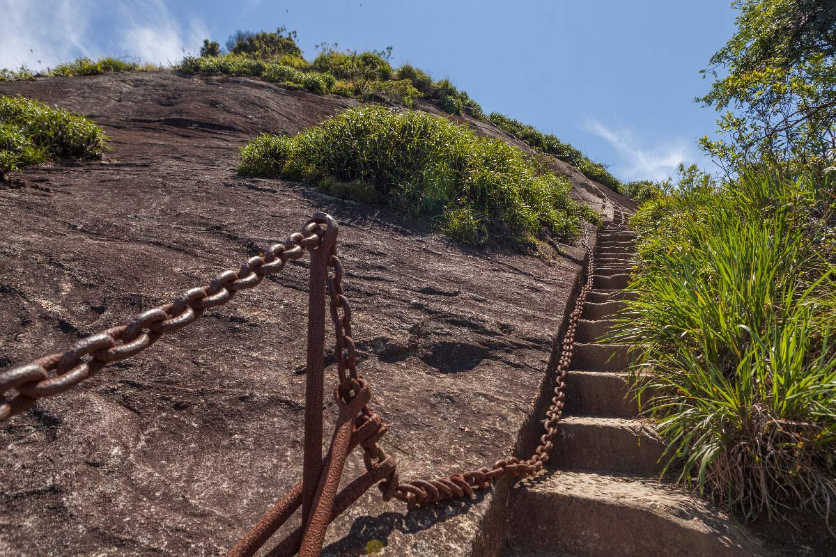
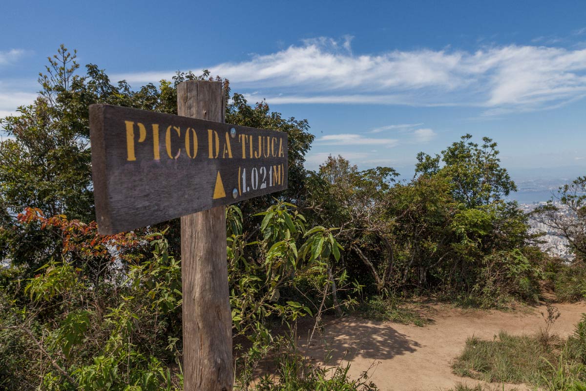
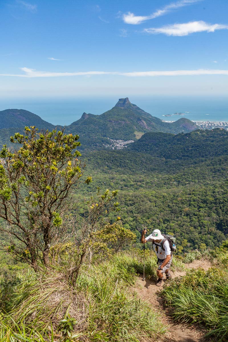
Get your swimsuit ready, as the waterfalls of Assento and Ciganos are waiting for you. Cooling off will be a good idea, as this section will make you sweat with the unmissable ascents to the peaks of Tijuca Mirim (917 m) and Tijuca (1,021 m). This is the highest point in the National Park and one of the tallest in Rio de Janeiro, offering an incredible 360º view of the city. The route has great historical significance, as it houses the ruins of the old Boa Vista farm and the Ciganos Reservoir, a water reservoir built in 1906, which was one of the main attractions of the city in the last century. Since it is still used for urban supply, swimming is prohibited in the area. At Bom Retiro, there is good infrastructure with parking, a playground for children, and restrooms.

Activities

Activity Hiking
Time 5h 0m

Guidelines

Extension: 9.5 Km
Difficulty Hard
Orientation Easy
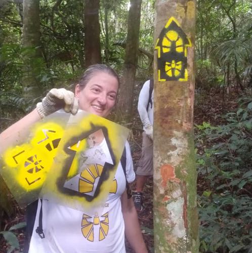
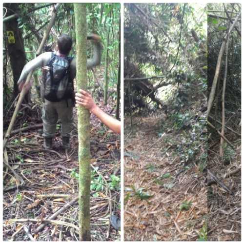
Signaling Level Complete
Conservation Good
Risk Exposure Low
Sun Exposure Low
Hydration Point Available
Climbing No climbing required
Minimum Altitude: 101m
Maximum Altitude: 820m
Negative Unevenness: 724m
Positive Unevenness: 982m

Attractions that the trail offers

Lake
Viewpoints
Ruins

Trecho 11 - Represa dos Ciganos x Bom Retiro is a segment of the following Long-Distance Trail

The trail is located in the following protected area


4.4
12 reviews
Edmilson silva 12/07/2024
fiz duas vezes, trilha de 4horas só subida muito bom, passei por pessoas na repressa mais eles não estavam enterressados em mim cheguei no bom retiro a noite foi show
Andonios Kontos 08/06/2023
Trecho pouco frequentado e próximo a represa o caminho é por dentro do riacho.
Wanessafd Castilho 01/05/2023
Fizemos a trilha há tempos, na época após passar o Lajeado, a sinalização e o mato alto dificultaram o percurso até chegar no fim do trecho (Tijuca Mirim).
Jeniffer (Jay) 29/10/2022
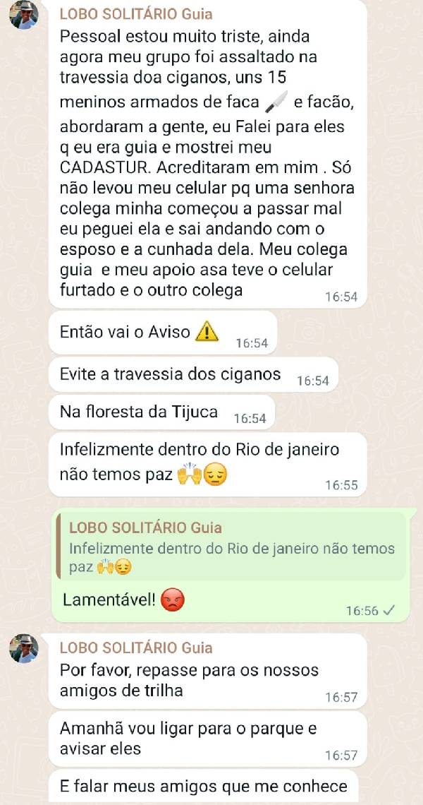
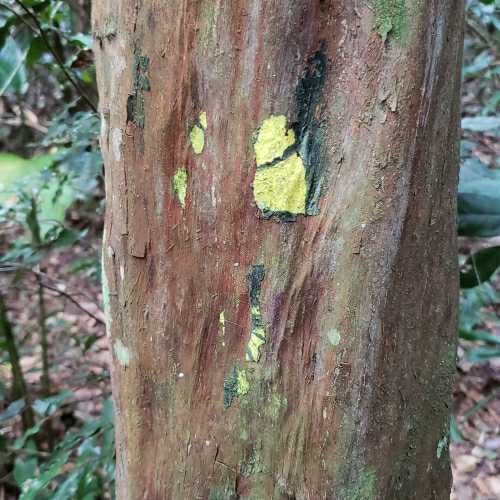
Trilha moderada, sem muitos riscos. A represa dos ciganos costuma ter fama de ser mal frequentada, mas até que no dia em que fui, não vi nada além de algumas famílias cantando jaca no entorno. Está bem sinalizada, mas algumas pegadas acabam ficando cobertas por uma espécie de limo nas árvores. É importante prestar atenção.
guilherme capilé 24/09/2022
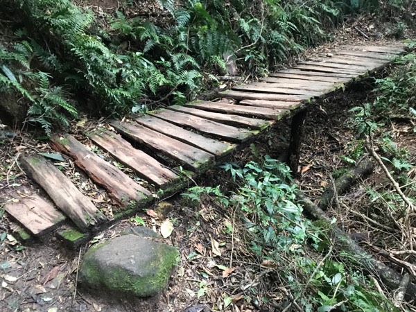
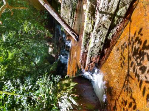
muito boa trilha! tem trechos que precisam de cuidado, retirar árvores que caíram, mas nada que bloqueie o caminho. a sinalização é ótima, com belas cachoeiras -- havia um tempo que queria fazer essa trilha, agora vi que é tranquilo
Louise Pedroso 01/05/2021
Byatryz Nogueira 01/05/2021
Começamos do Cardoso Fontes e seguimos até às ruínas localizadas próximo a bifurcação para o Pico da Tijuca. Experiência incrível com Seu Adilson explicando diversas coisas sobre o local e a Transcarioca. ☀️🌿🍃
Alexandra Golovinskaya 08/04/2021

Warnings

Environmental conservation
18/09/2023
Environmental conservation
09/06/2023
Environmental conservation
21/04/2023
Environmental conservation
21/04/2023
Environmental conservation
21/04/2023
Environmental conservation
07/03/2023
Others
13/08/2021
Environmental conservation
01/03/2021
Environmental conservation
01/03/2021
Environmental conservation
01/03/2021
Environmental conservation
03/02/2021
Others
17/08/2020
Environmental conservation
10/08/2020
Environmental conservation
30/07/2020
Environmental conservation
07/11/2019
Environmental conservation
04/07/2019
Environmental conservation
27/04/2018
Environmental conservation
06/04/2018
Environmental conservation
12/01/2018
Others
19/11/2017
Environmental conservation
18/11/2017
Environmental conservation
30/10/2017

Map

Guidelines

Extension: 9.5 Km
Difficulty: Hard
Orientation: Easy
Signaling Level: Complete
Minimum Altitude: 101m
Maximum Altitude: 820m
Negative Unevenness: 724m
Positive Unevenness: 982m
Compartilhar