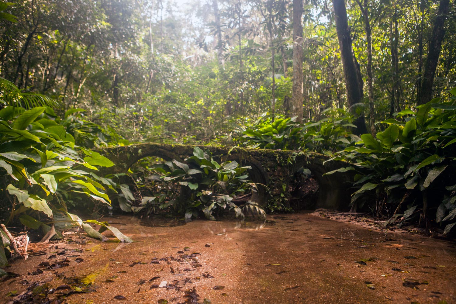
Trecho 12 - Bom Retiro x Centro de Visitantes
Description
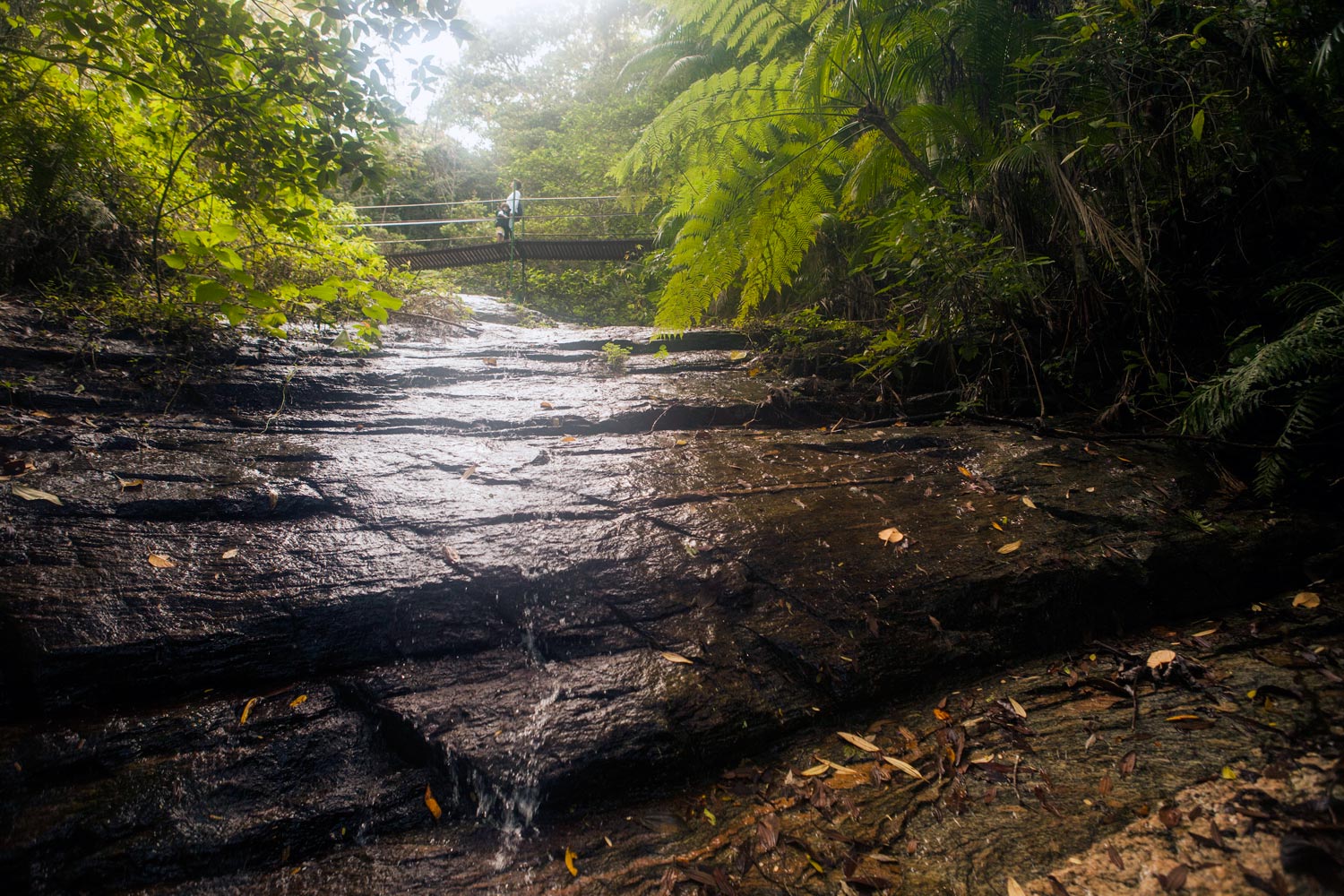
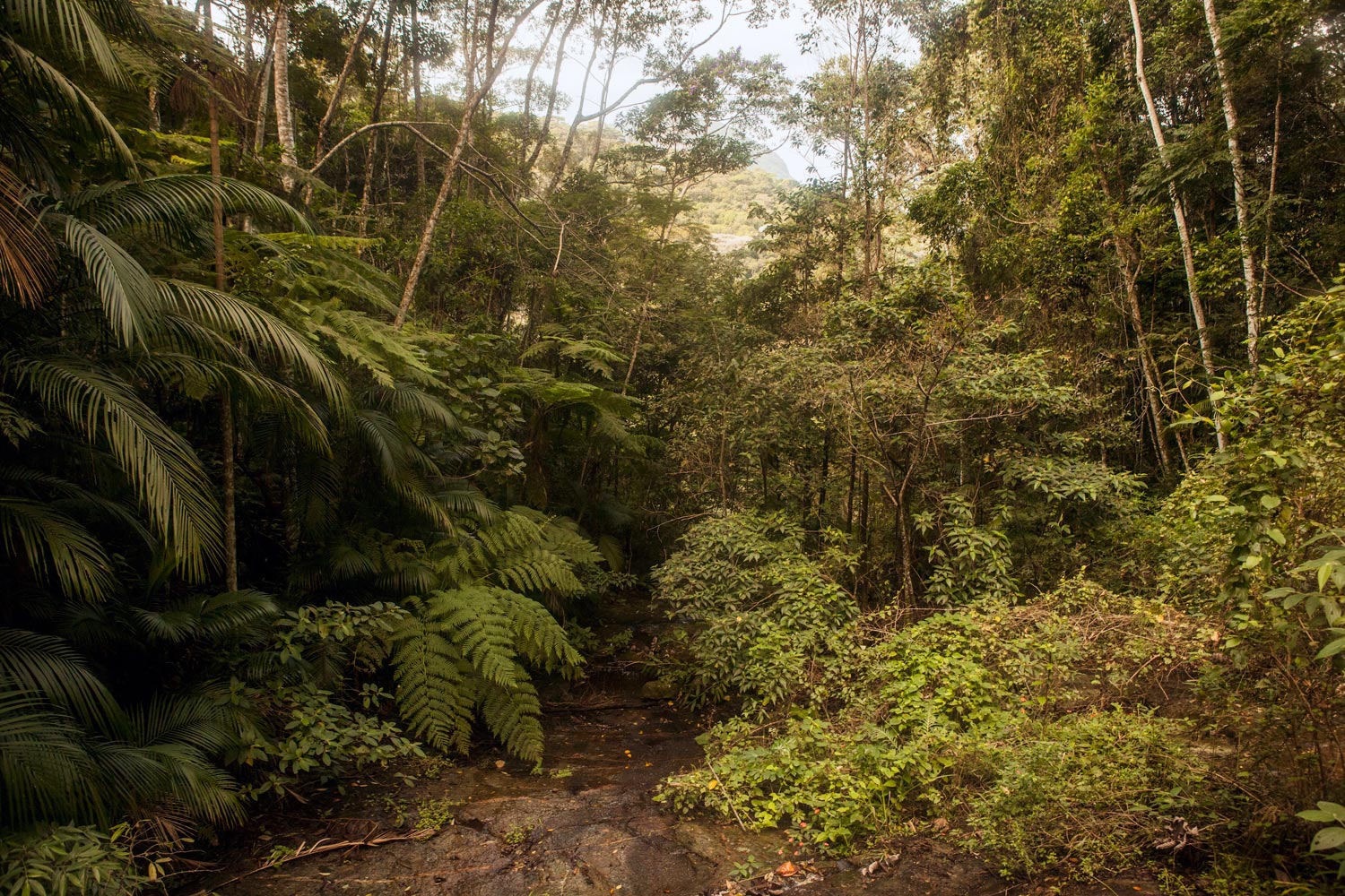
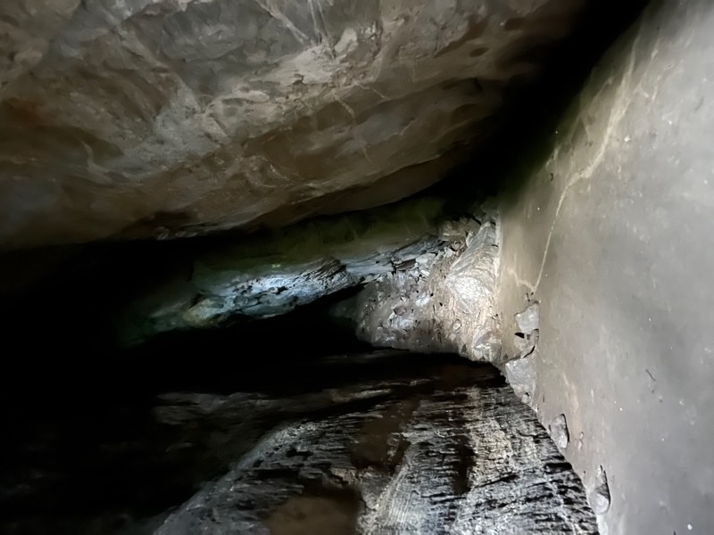
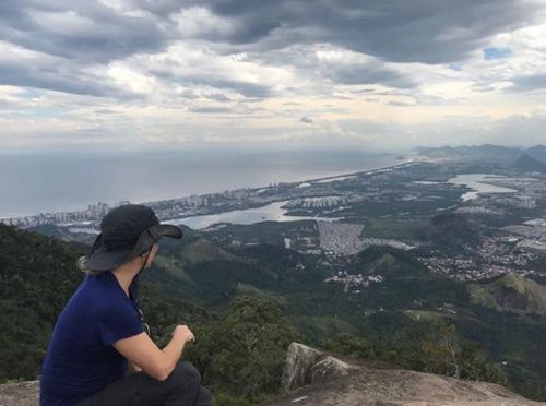
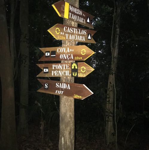
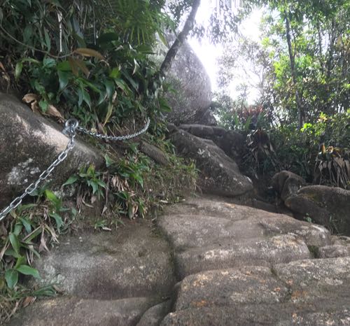
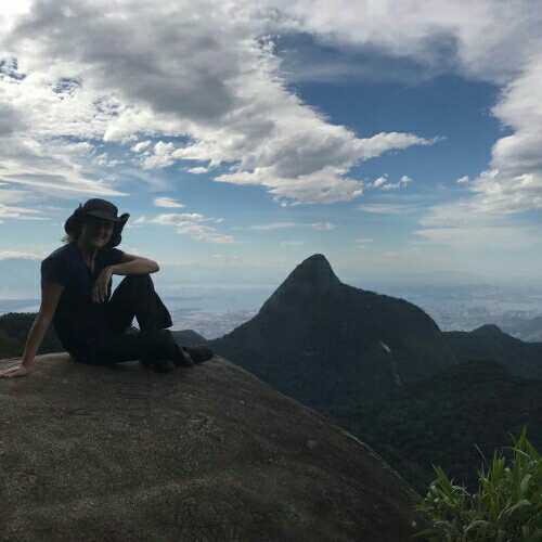
Located in the heart of the park, the route crosses a series of hills, such as Archer Hill (named after Major Gomes Archer, who coordinated reforestation efforts in the 19th century), Bico do Papagaio, Morro da Cocanha, and Castelos da Taquara, featuring viewpoints, caves – like the Navio and Papagaio caves – and rivers. One of the crossings is made via a suspension bridge, one of the main attractions of this section. Cross carefully and respect the safety rules. The effort to traverse the steep trail leading to the summit of Bico do Papagaio is rewarded by the beautiful landscape seen from its peak. Near the Visitor Center, follow the trail markings painted on the asphalt.
Activities

Activity Hiking
Time 4h 0m
Guidelines
 Extension: 6.6 Km
 Difficulty Moderate
 Orientation Easy
 Signaling Level Complete
 Conservation Excellent
 Risk Exposure Low
 Sun Exposure Medium
 Hydration Point Available
 Climbing There is
 Minimum Altitude: 306m Maximum Altitude: 940m
 Negative Unevenness: 984m
 Positive Unevenness: 984m
Attractions that the trail offers
 Fauna
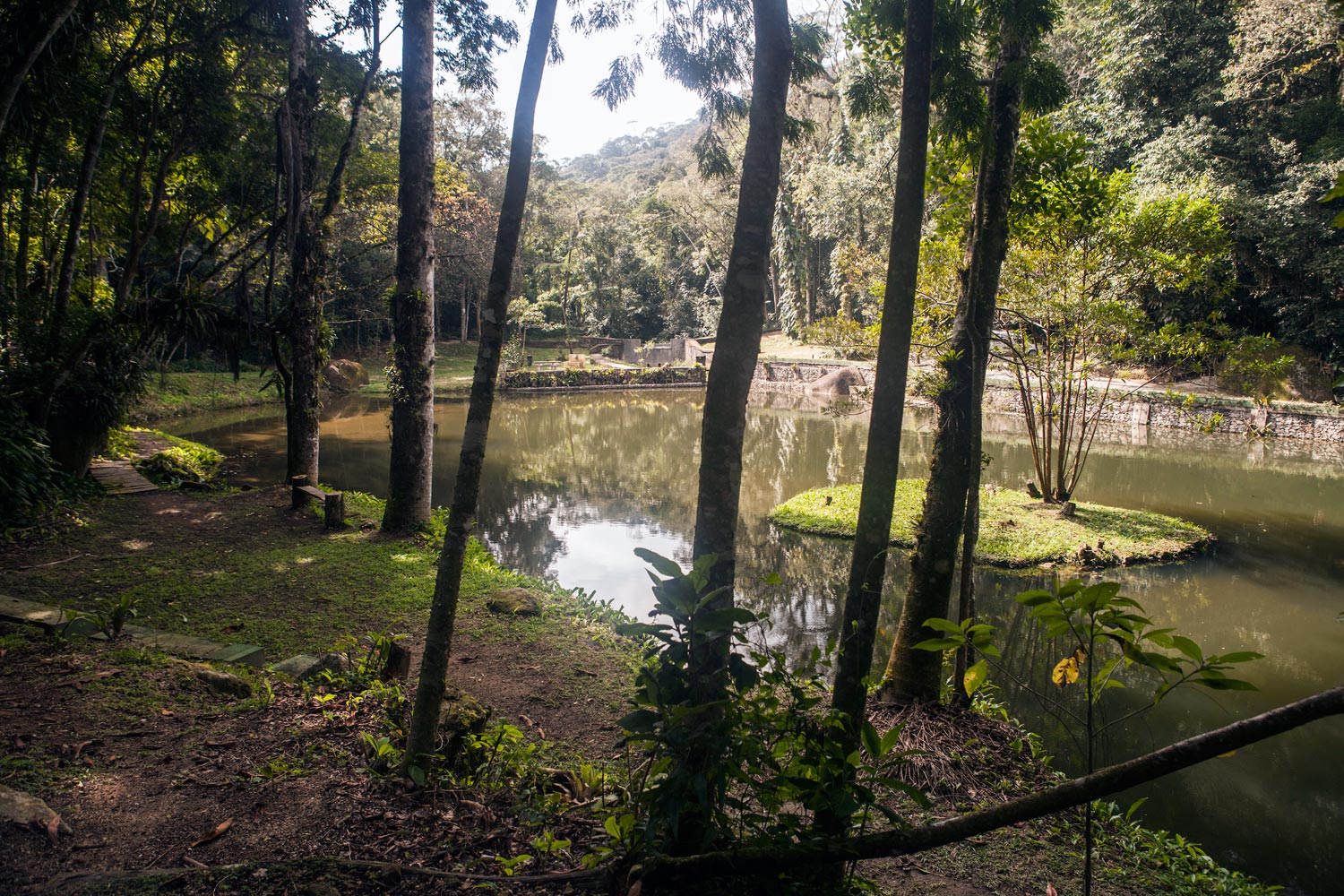
 Lake
 Viewpoints
 Ruins
Trecho 12 - Bom Retiro x Centro de Visitantes is a segment of the following Long-Distance Trail

The trail is located in the following protected area


Andonios Kontos 08/06/2023
Mirante na trilha, trilha bem conservada, manejo realizado melhorou muito este trecho.

Wanessafd Castilho 01/05/2023
Trilha realizada em 2019!

guilherme capilé 24/09/2022
trilha muito bem conservada

Caroline Ribeiro 13/08/2022
Visita para fazer o Circuito das Grutas
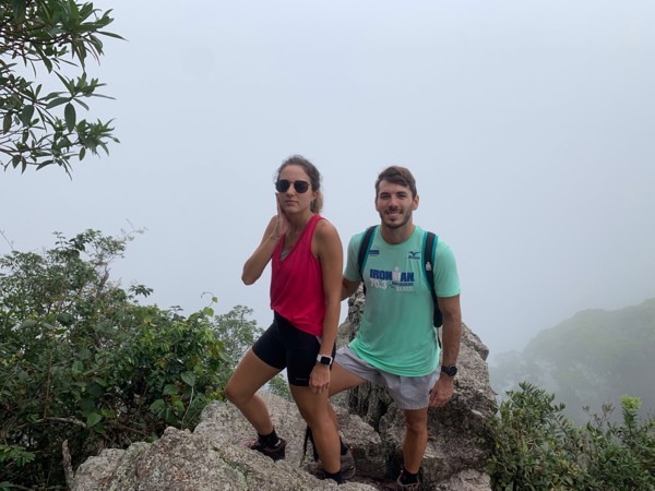
Juno 18/09/2021
cia da juju e do robertinho

Vagner Souza 18/08/2021
Castelos da Taquara

Kseniia Tomchyk 18/02/2021

Alexandra Golovinskaya 18/02/2021
Warnings
Others
01/08/2022
Environmental conservation
05/12/2021
Others
11/07/2019
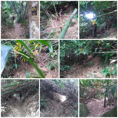
Environmental conservation
27/06/2019
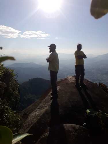
Environmental conservation
26/06/2019
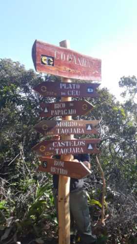
Environmental conservation
24/06/2019
Environmental conservation
13/05/2019
Environmental conservation
14/07/2018
Environmental conservation
21/05/2018
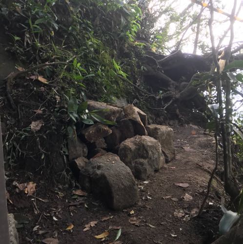
Environmental conservation
21/05/2018
Others
21/05/2018
Environmental conservation
21/05/2018
Environmental conservation
21/05/2018
Others
21/05/2018
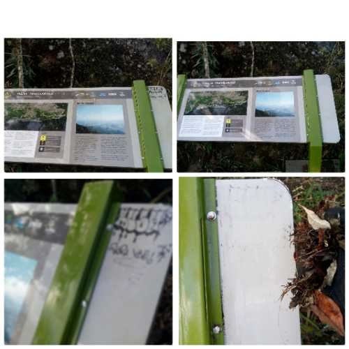
Environmental conservation
23/04/2018
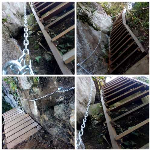
Environmental conservation
23/04/2018
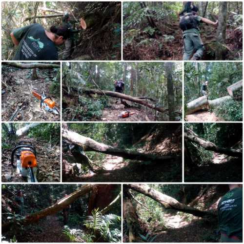
Environmental conservation
21/04/2018
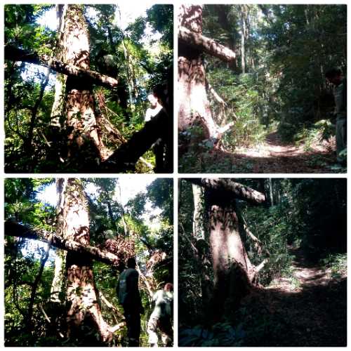
Environmental conservation
21/04/2018
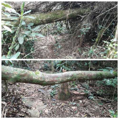
Environmental conservation
14/04/2018
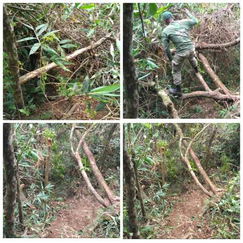
Environmental conservation
15/01/2018
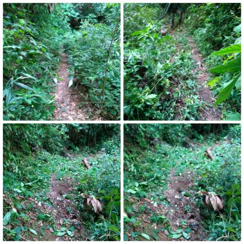
Environmental conservation
15/01/2018
Environmental conservation
31/10/2017
Environmental conservation
09/09/2017
Environmental conservation
07/09/2017
Environmental conservation
06/09/2017
Environmental conservation
06/09/2017
Environmental conservation
05/09/2017
Environmental conservation
05/09/2017
Environmental conservation
21/07/2017
Map
Guidelines
Extension: 6.6 KmDifficulty: ModerateOrientation: EasySignaling Level: CompleteMinimum Altitude: 306m Maximum Altitude: 940m Negative Unevenness: 984m Positive Unevenness: 984m