Trecho 13 - Centro de Visitantes x Portão da Floresta da Tijuca
Description
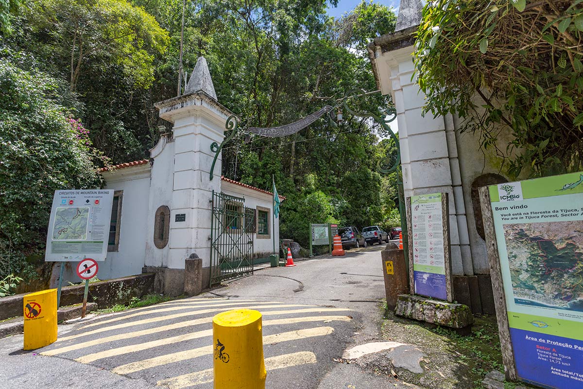
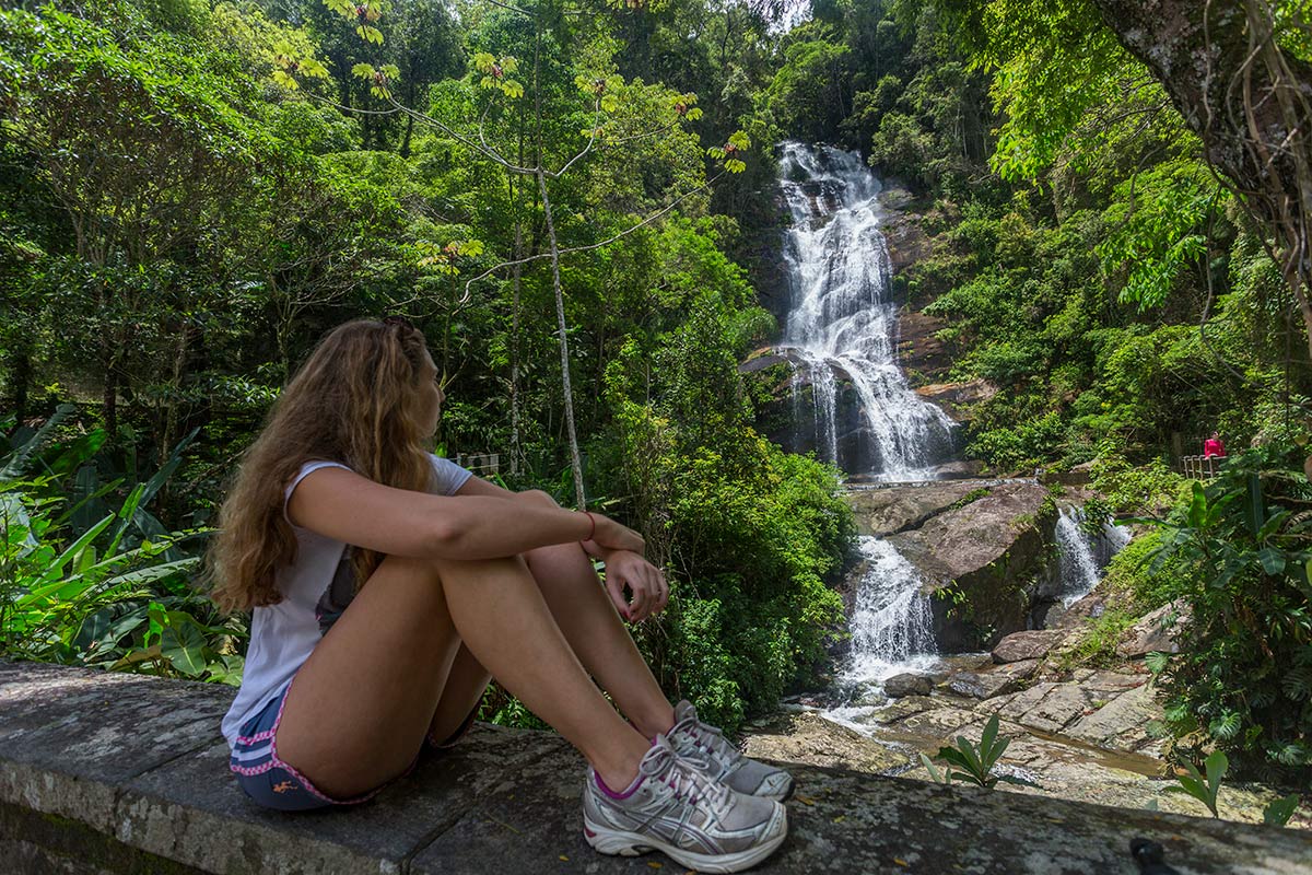
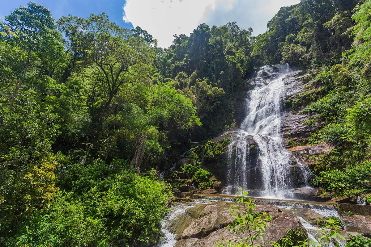
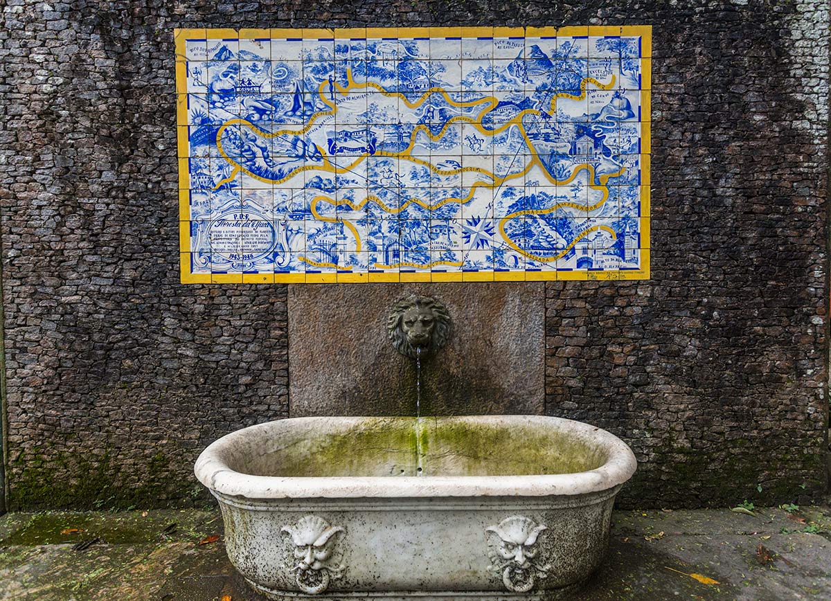
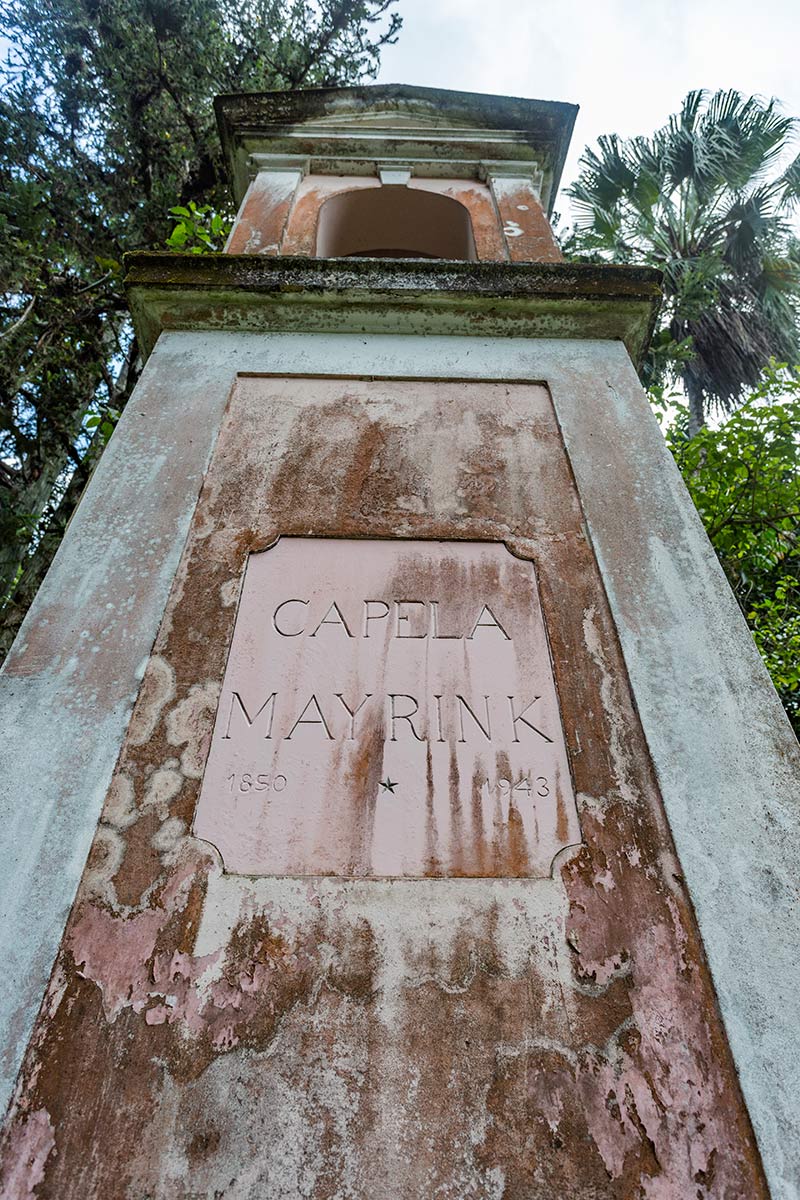
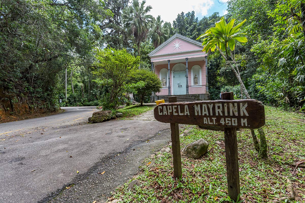
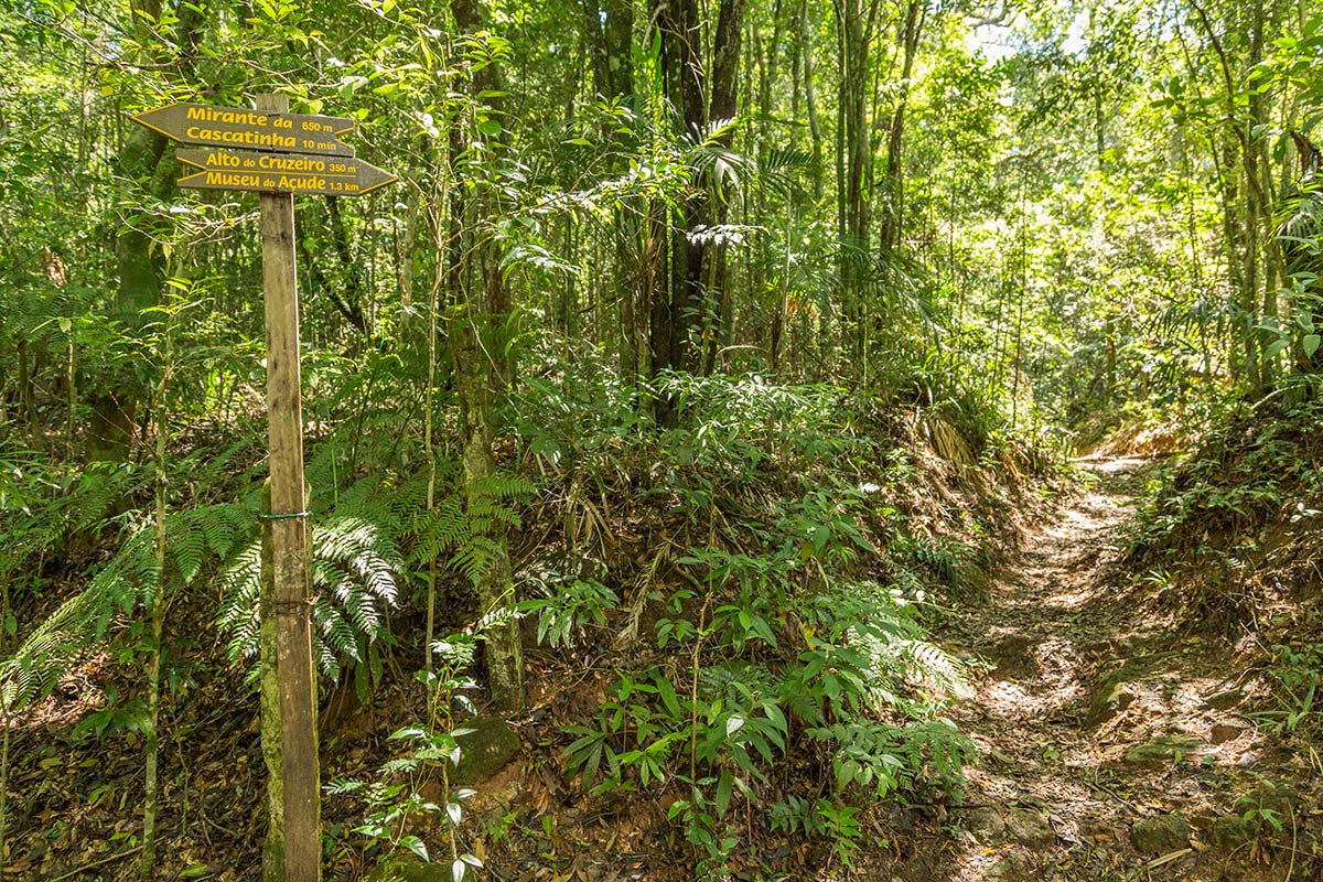
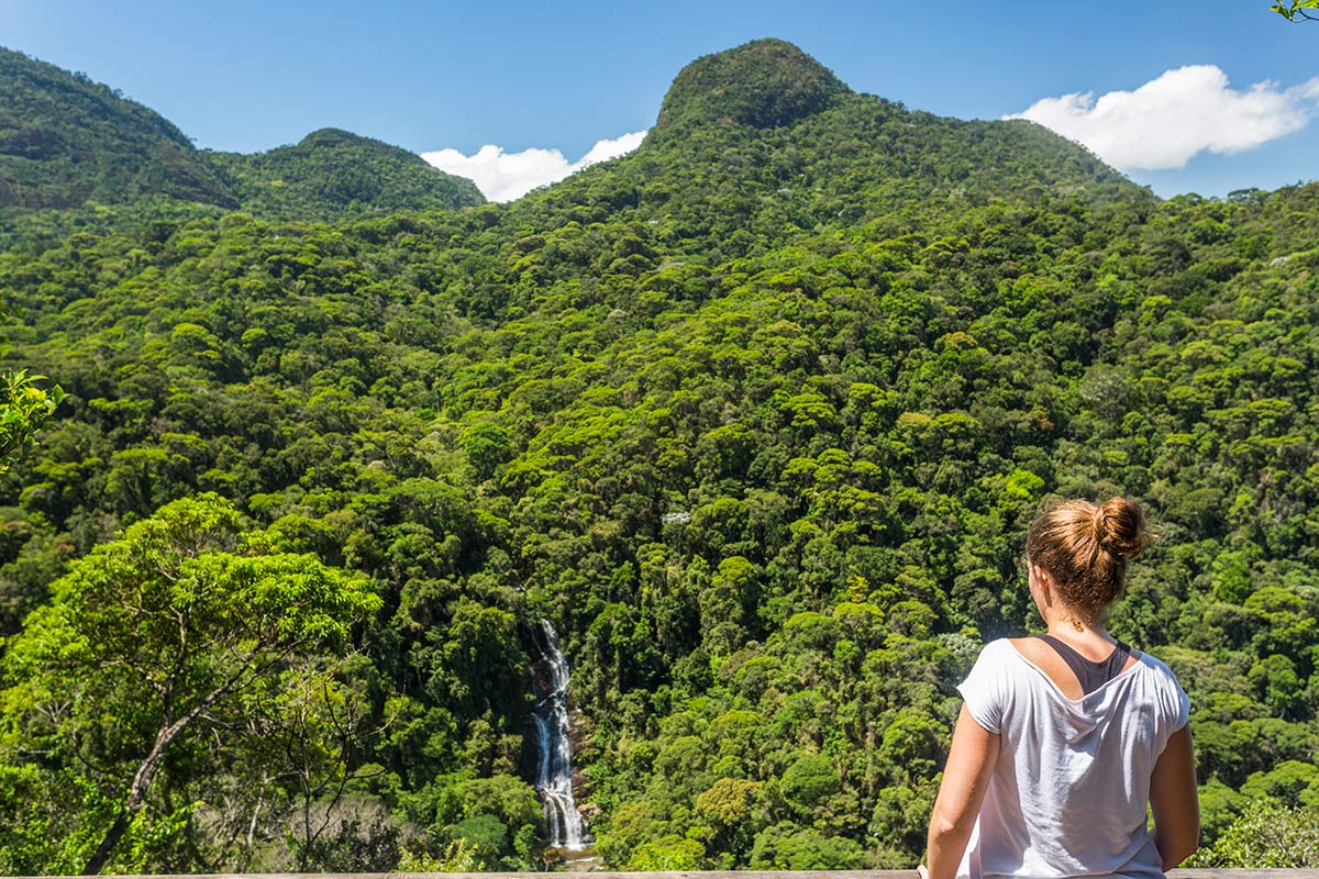
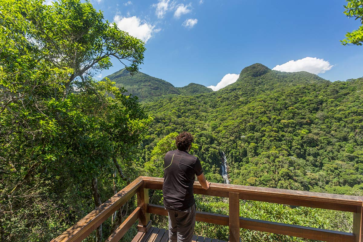
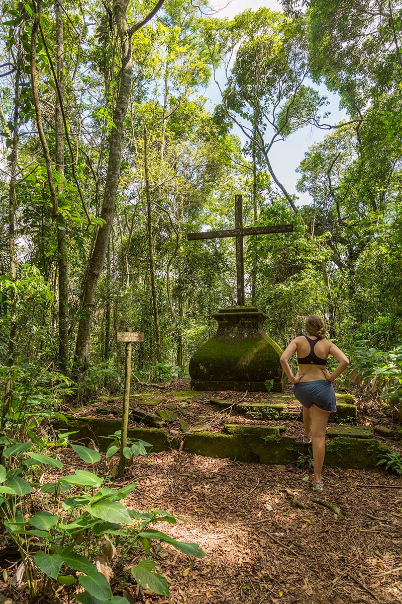
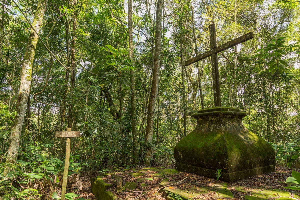
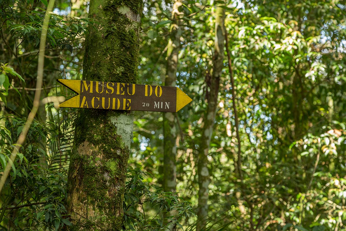
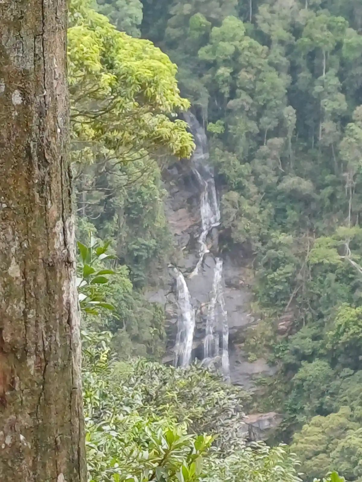
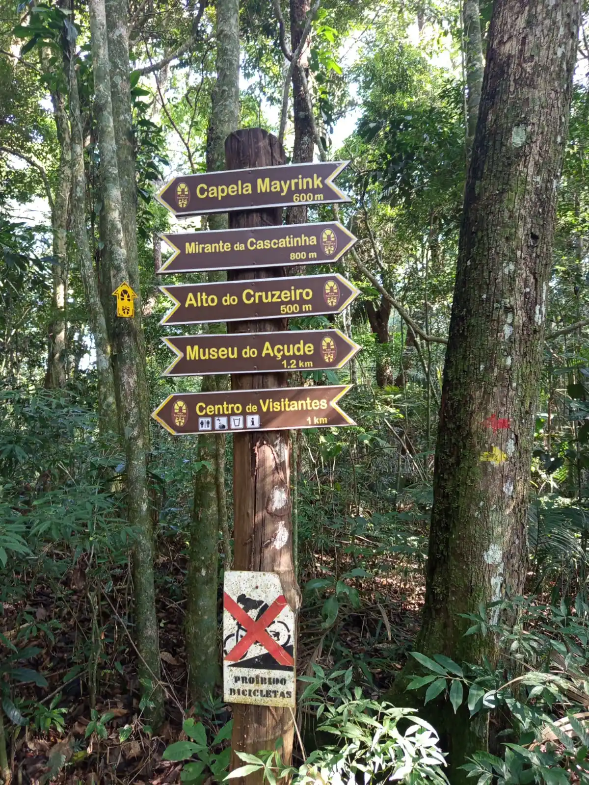
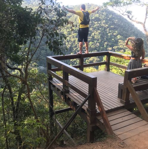
Get ready for a cultural and historical tour amidst nature, in the heart of Tijuca Forest, perfect for a family outing. Visitors will pass by the Mayrink Chapel (1850), one of the park's icons, and also by the Alto do Cruzeiro, an altar built of stone by slaves who had been forbidden to pray in the traditional religious temple. Check out the view from the suspended viewpoint to the Açude Museum, a great cultural program option that is also free. The viewpoint at Cascatinha is stunning, with the beauty of its waterfall, overlooking Pedra do Conde, Tijuca Mirim, and Cascatinha Taunay.
Activities

Activity Hiking
Time 3h 0m
Guidelines
 Extension: 4.6 Km
 Difficulty Moderate
 Orientation Easy
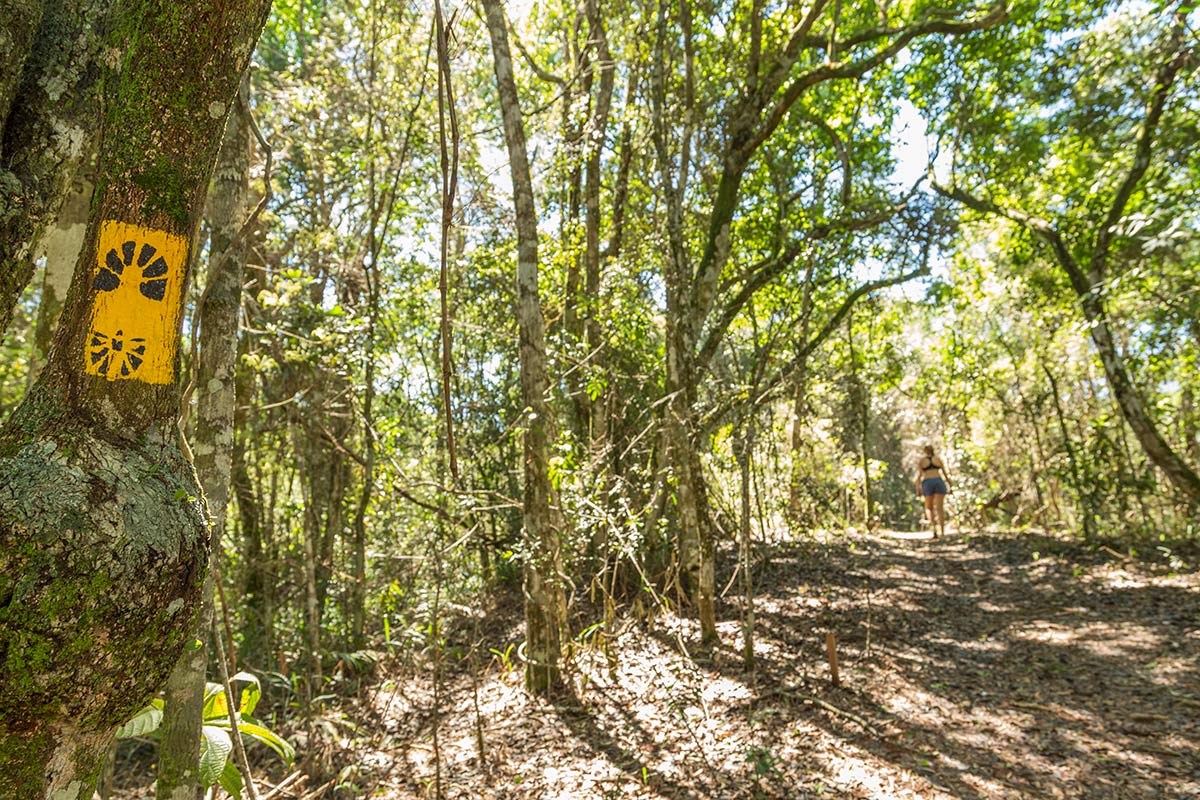
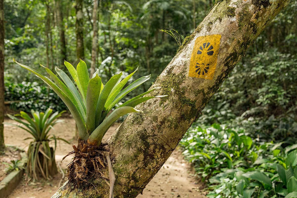
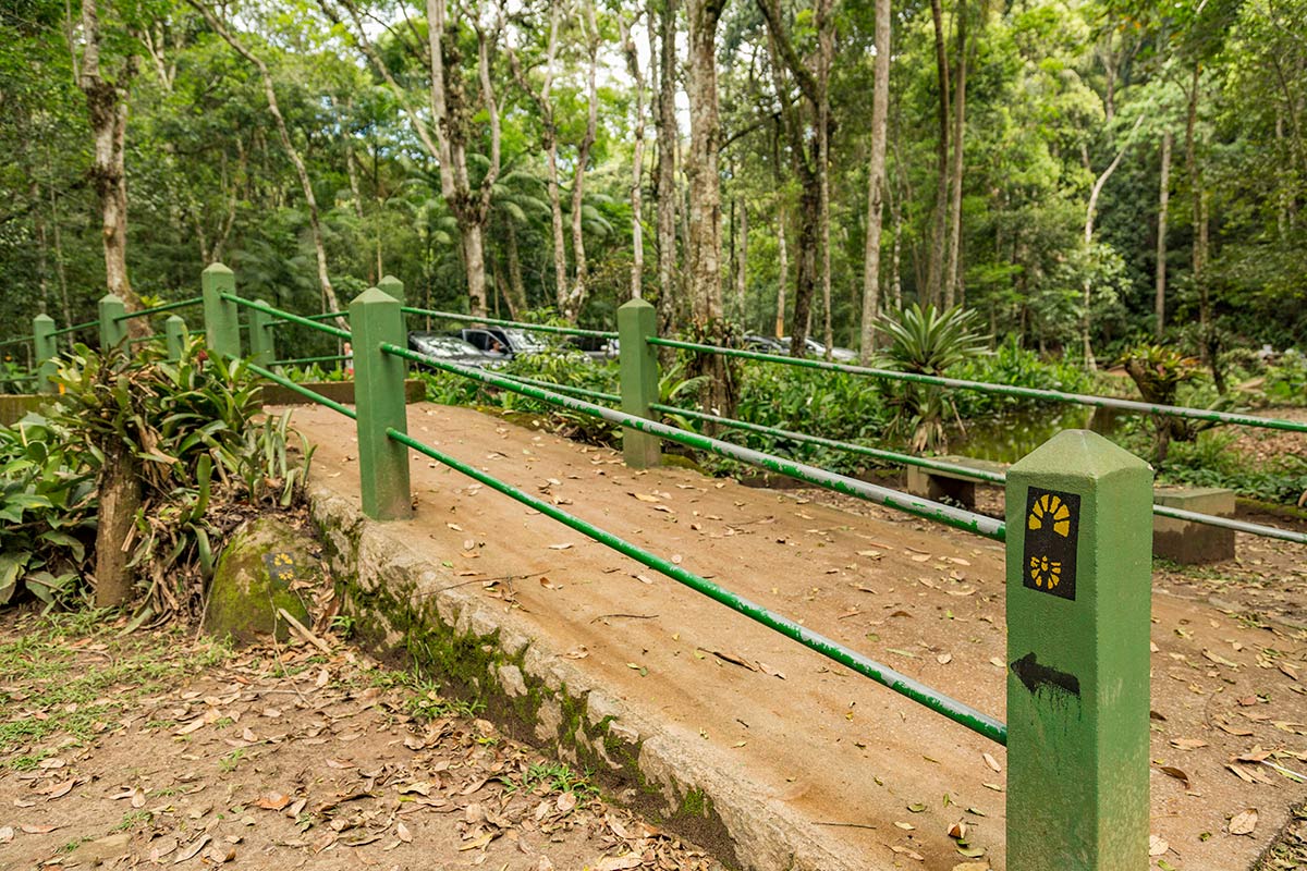
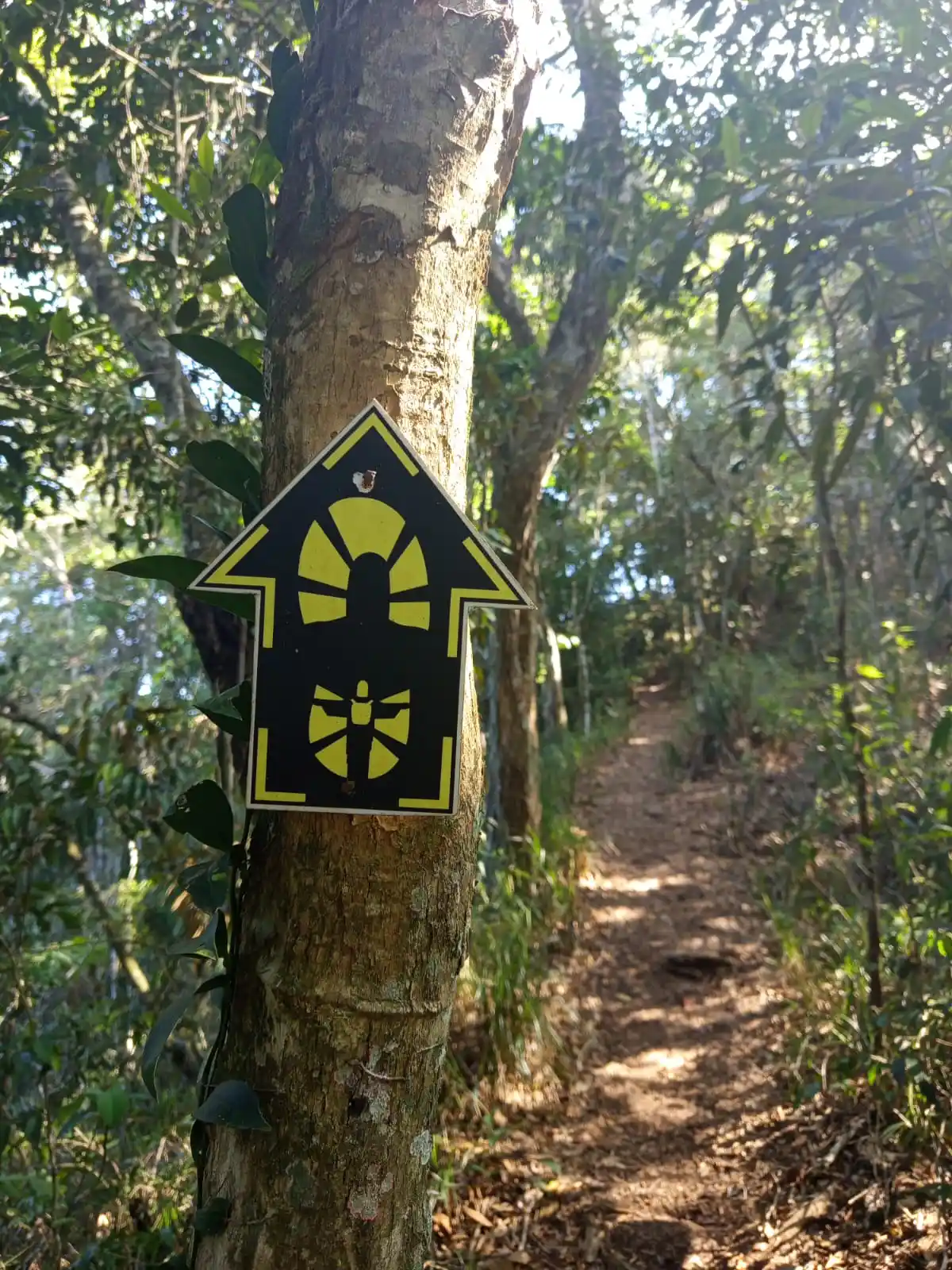
 Signaling Level Complete
 Conservation Excellent
 Risk Exposure Low
 Sun Exposure Low
 Hydration Point Available
 Climbing No climbing required
 Minimum Altitude: 350m Maximum Altitude: 530m
 Negative Unevenness: 413m
 Positive Unevenness: 497m
Attractions that the trail offers
 Avifauna
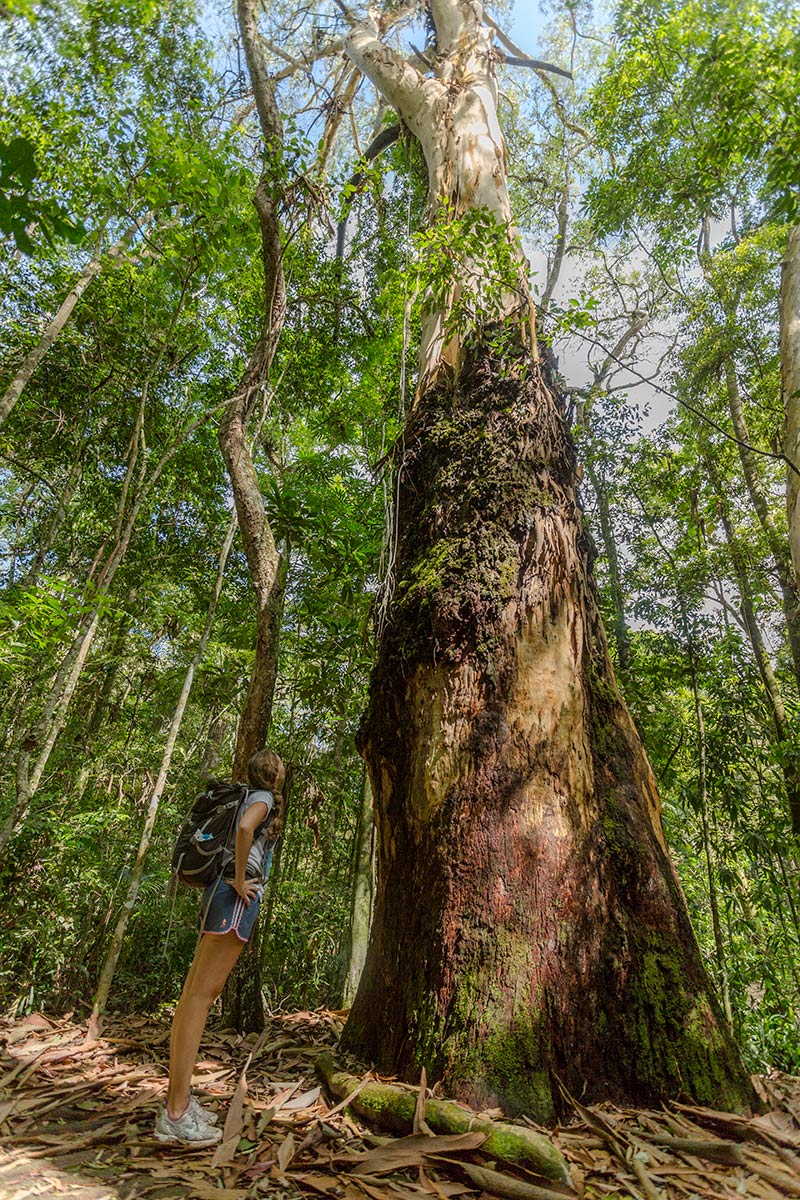
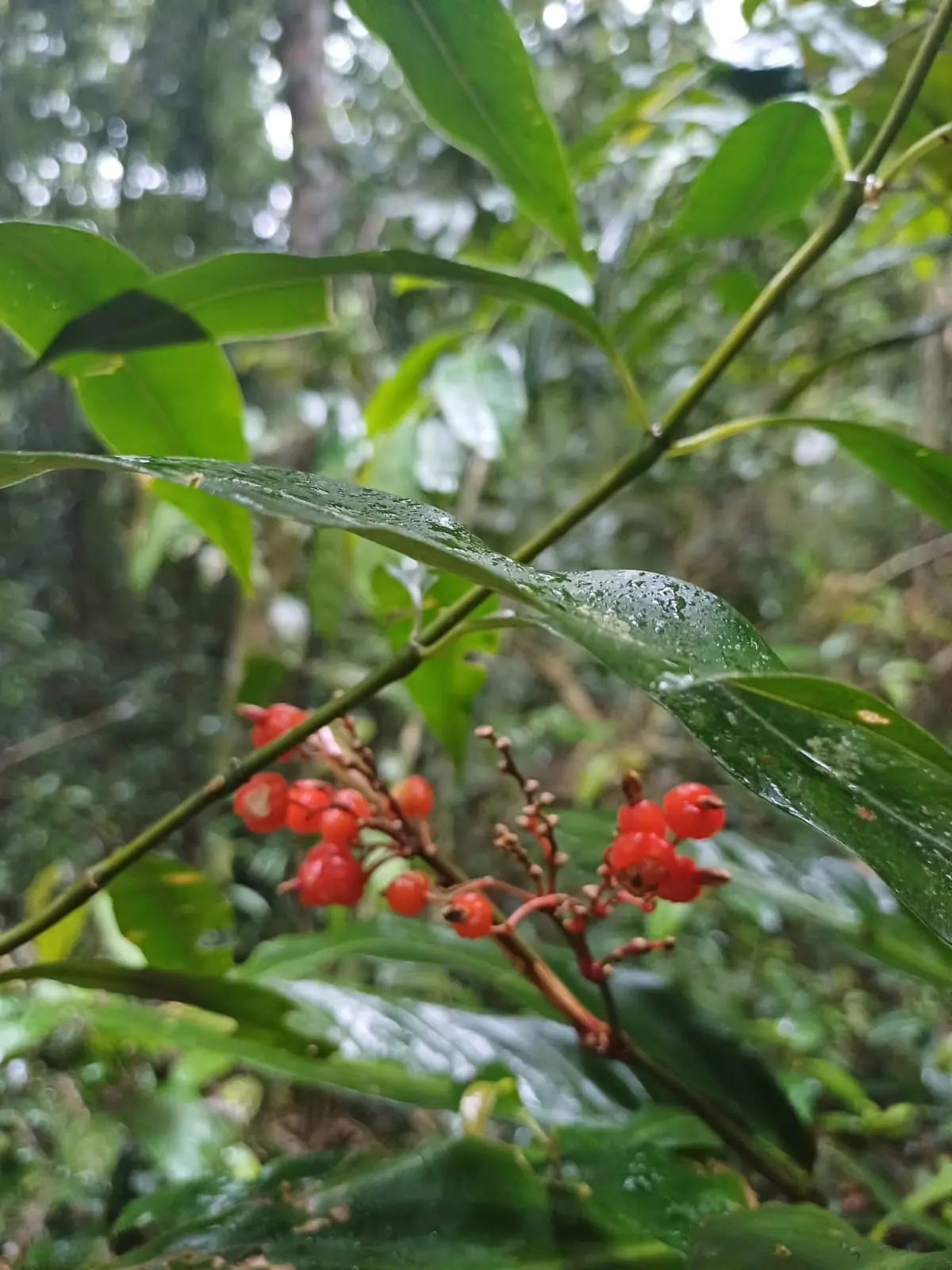
 Flora
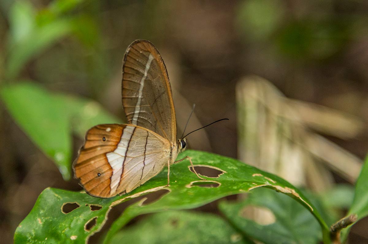
 Fauna
 Viewpoints
 Ruins
Trecho 13 - Centro de Visitantes x Portão da Floresta da Tijuca is a segment of the following Long-Distance Trail

The trail is located in the following protected area

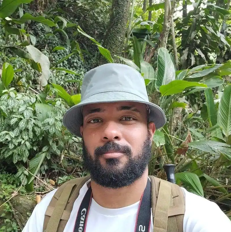
Gutemberg Rocha 09/05/2024
Uma caminhada muito boa para iniciantes no PNT,em 2024 passei por lá e está bem manejada a trilha.

R. LEON 19/09/2023
MORRO DO CONDE

Wilson Junior 03/09/2023
Um local maravilhoso e de fácil acesso, pode curtir com a família, fazer piqueniques, aprender um pouco de história e ainda tomar banho de cachoeira.

jadielson nascimento 27/08/2023
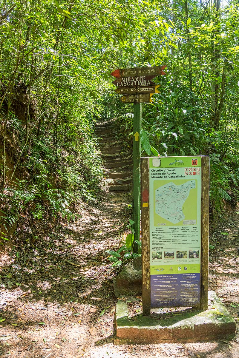
muito bem sinalizado

Andonios Kontos 08/06/2023
Boa trilha

Wanessafd Castilho 01/05/2023
Trilha realizada em Abril de 2019!

Marcelo Tattoo 26/04/2023
vista da Pedra Bonita
Marcelo Tattoo 26/04/2023
linda demais
Warnings
Security
18/08/2025
Security
18/08/2025
Environmental conservation
08/08/2022
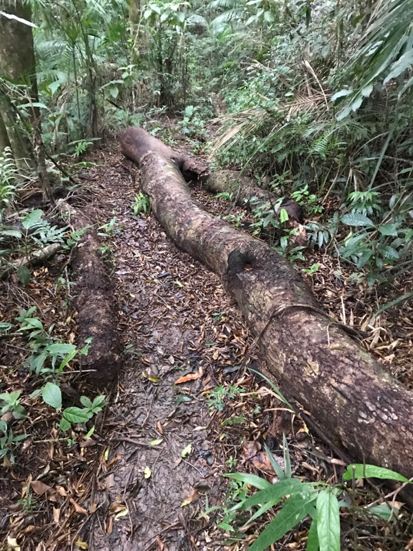
Environmental conservation
08/08/2022
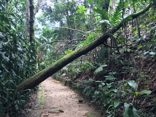
Security
23/11/2021
Security
21/11/2021
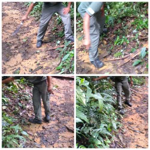
Environmental conservation
15/02/2020
Environmental conservation
25/10/2019
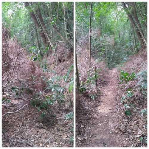
Environmental conservation
01/09/2019
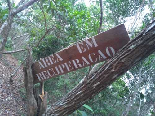
Environmental conservation
01/09/2019
Others
20/08/2019
Environmental conservation
15/05/2019
Others
17/03/2019
Environmental conservation
17/08/2018
Environmental conservation
03/06/2018
Environmental conservation
03/06/2018
Others
03/06/2018
Security
03/06/2018
Environmental conservation
21/04/2018
Others
22/11/2017
Others
26/06/2017
Map
Guidelines
Extension: 4.6 KmDifficulty: ModerateOrientation: EasySignaling Level: CompleteMinimum Altitude: 350m Maximum Altitude: 530m Negative Unevenness: 413m Positive Unevenness: 497m