Trecho 14 - Portão da Floresta x Mesa do Imperador
Description
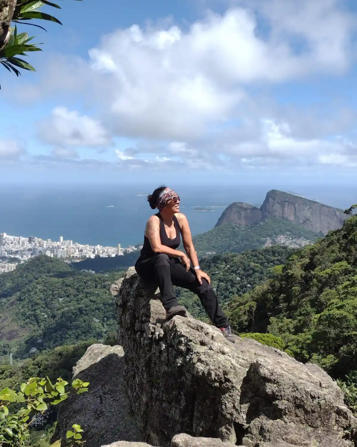
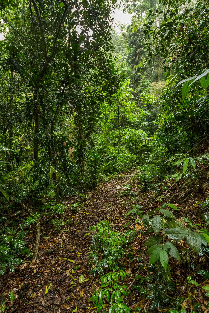
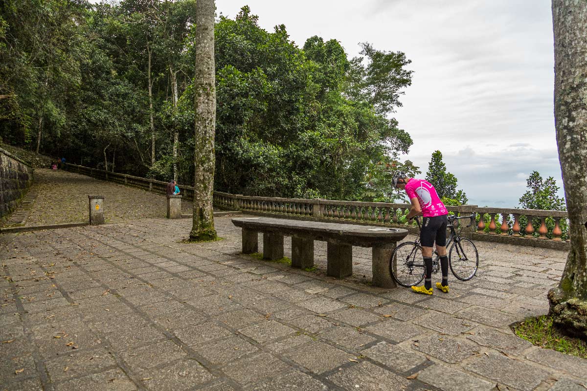
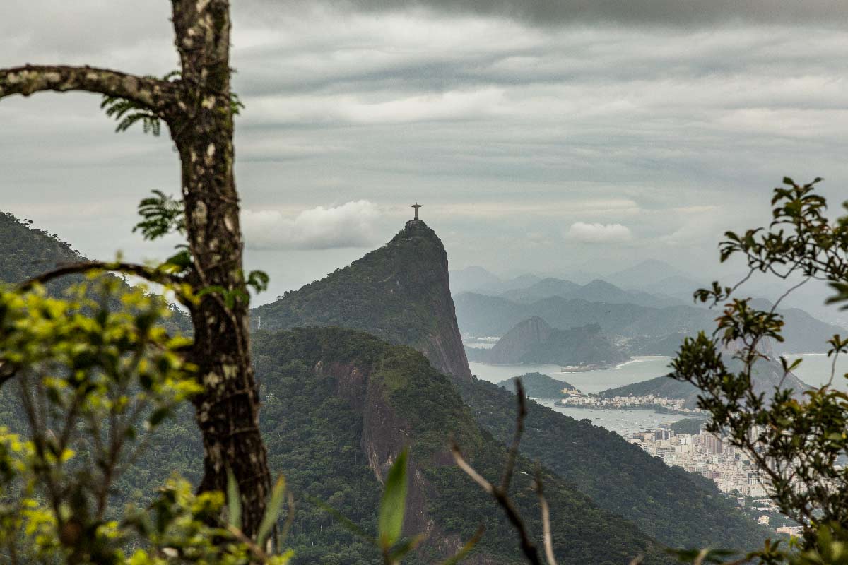
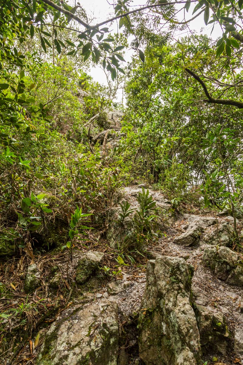
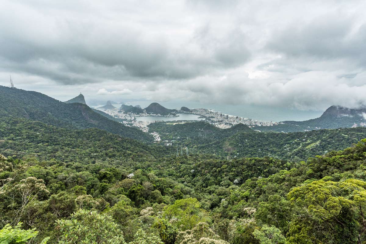
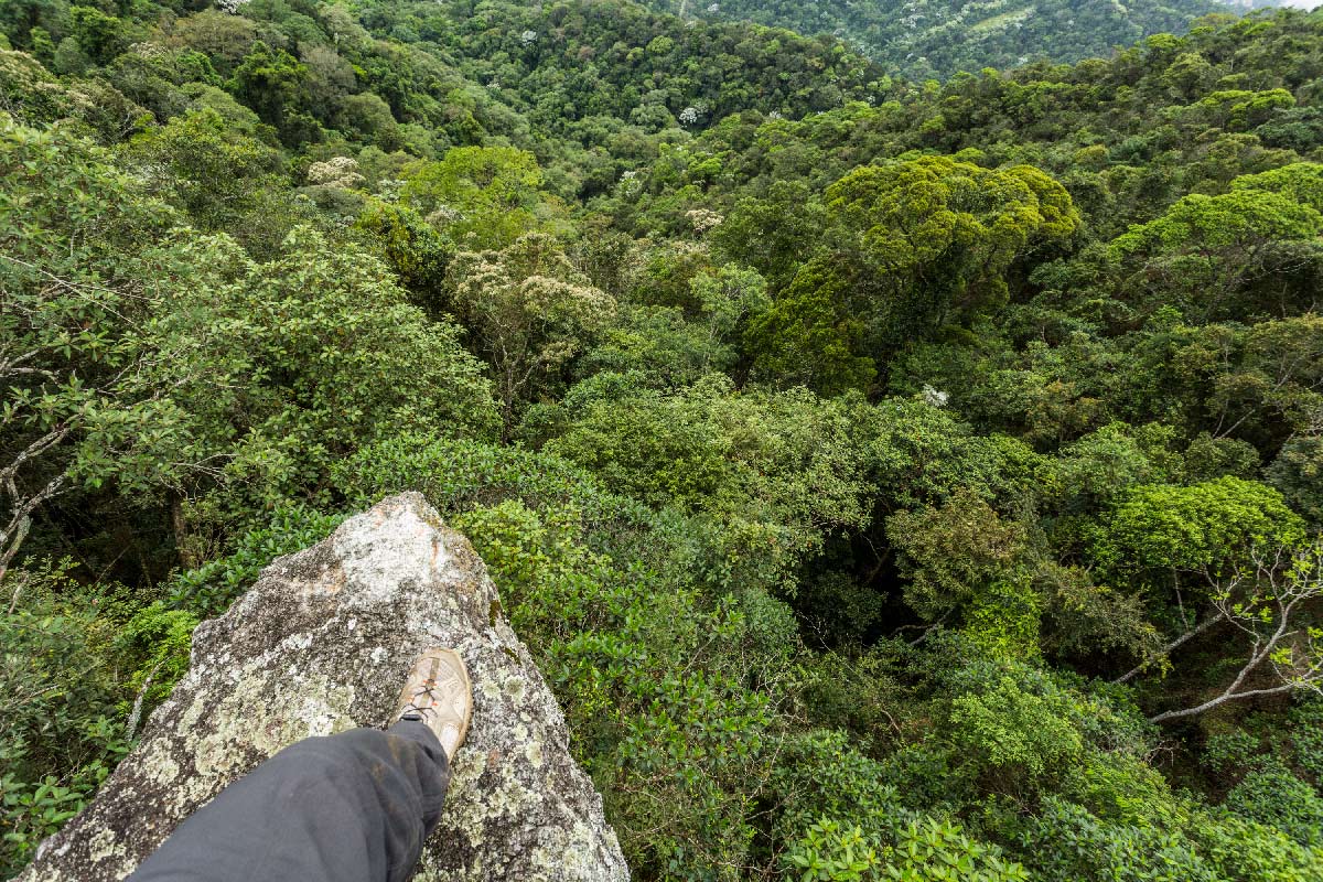
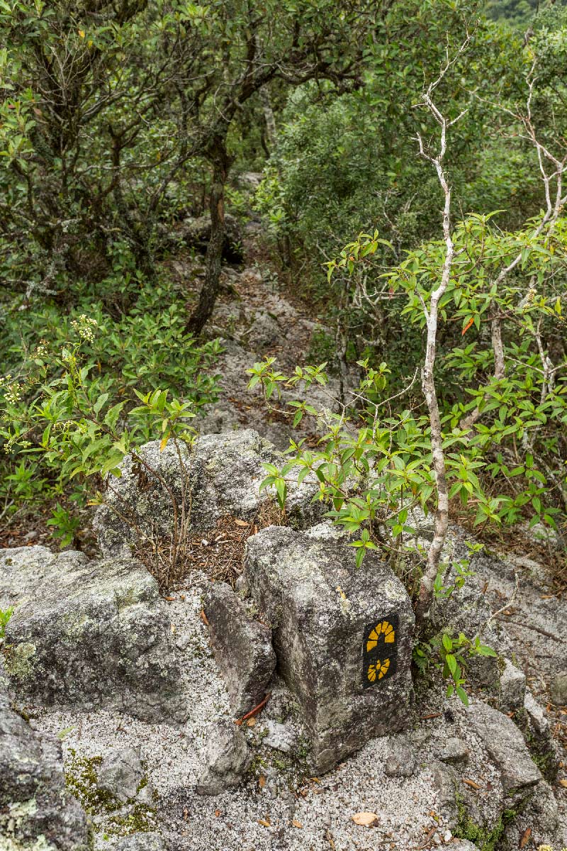
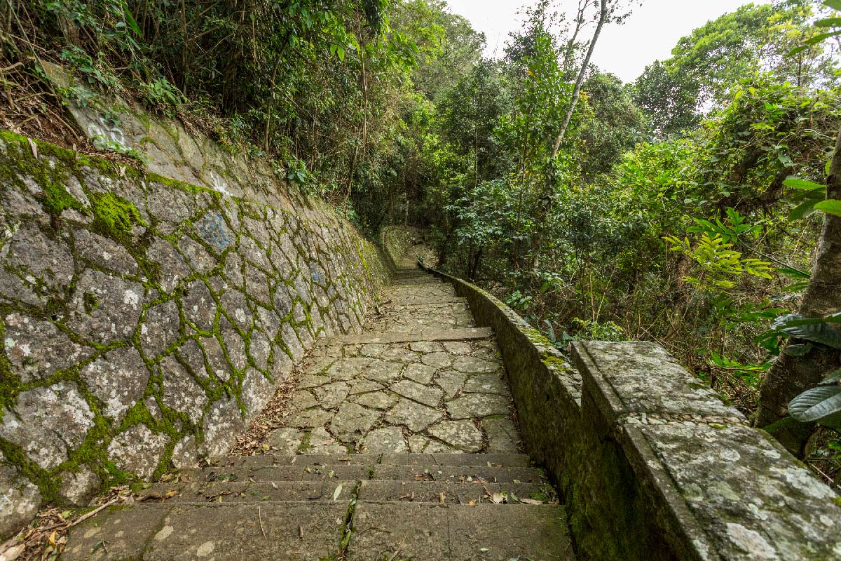
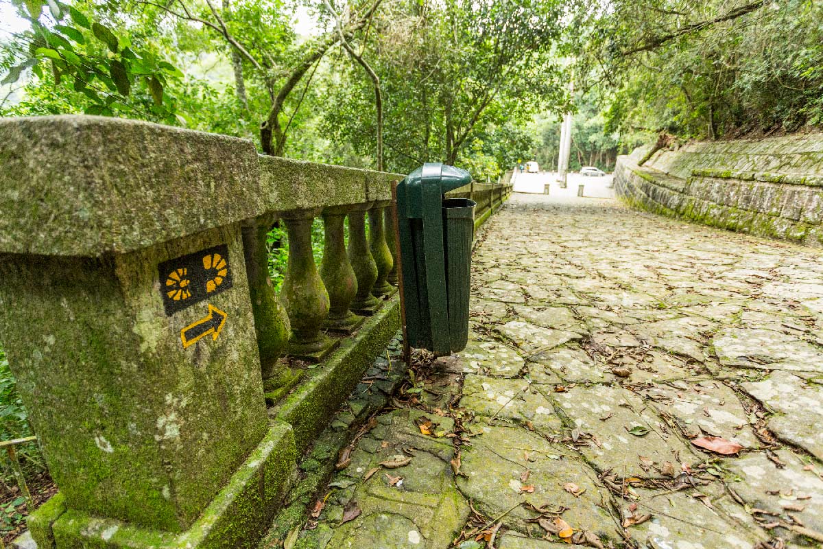
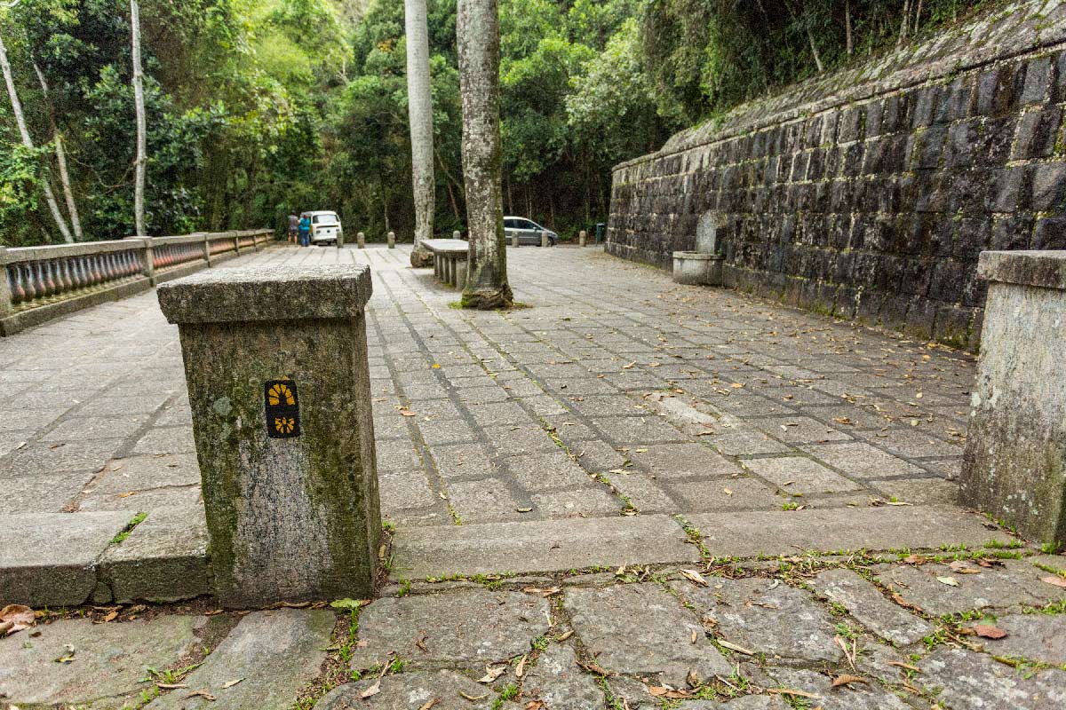
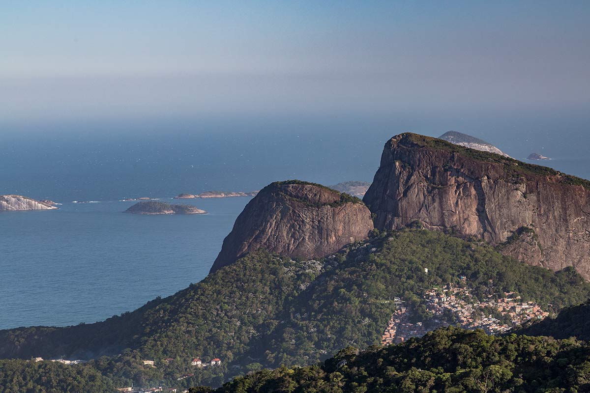
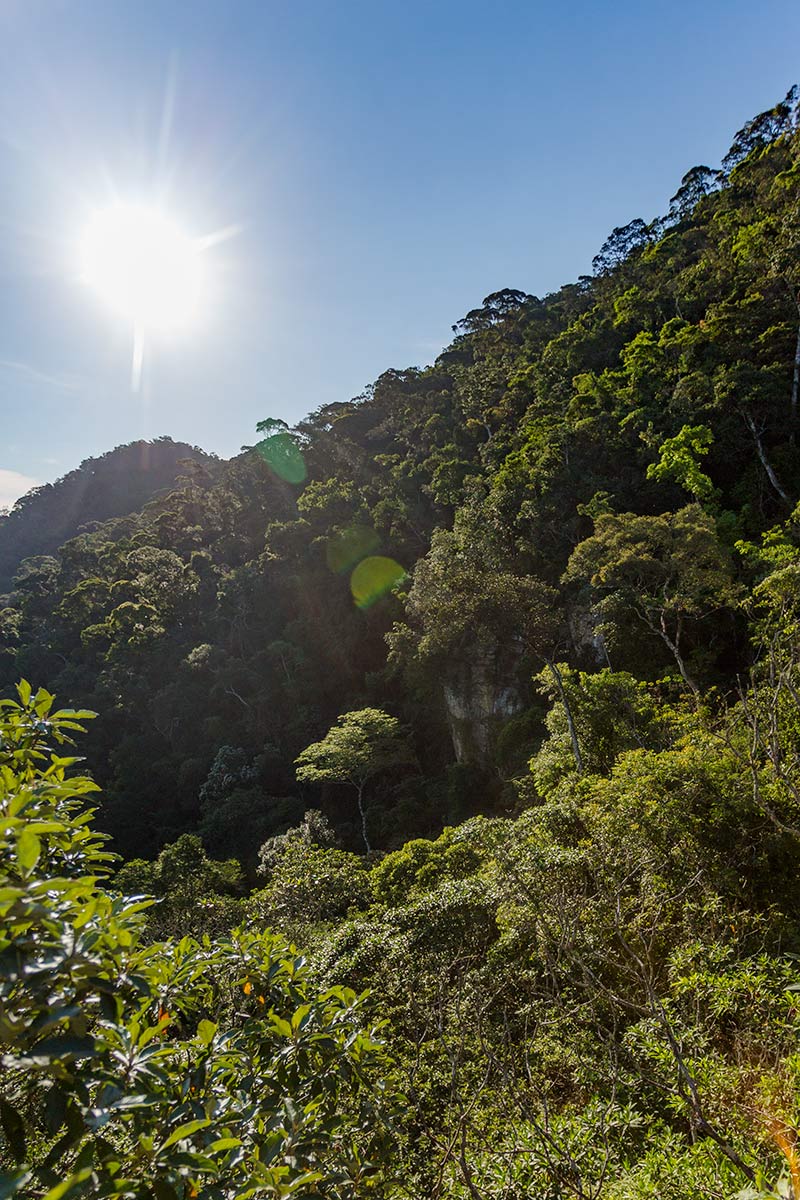
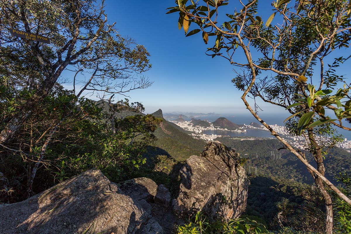
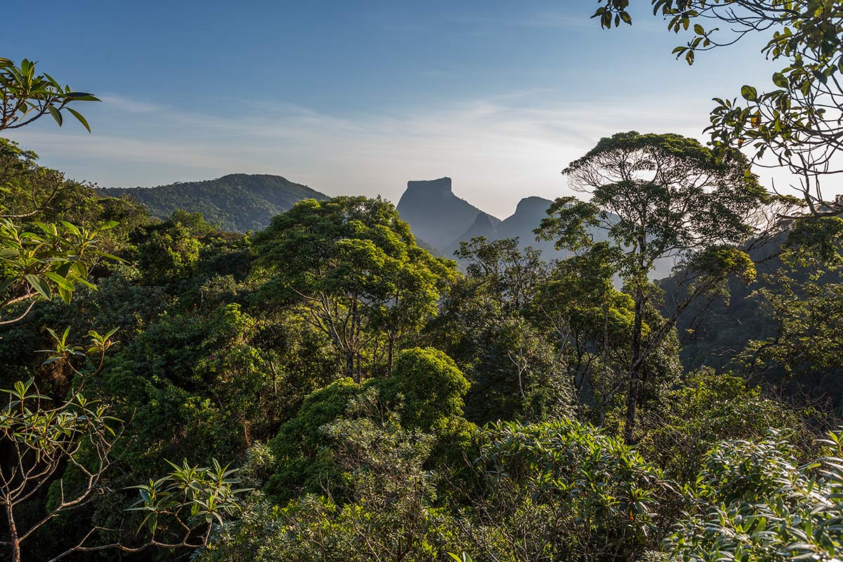
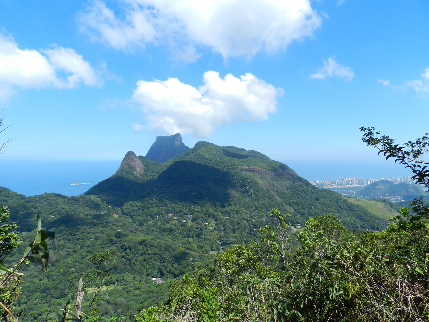
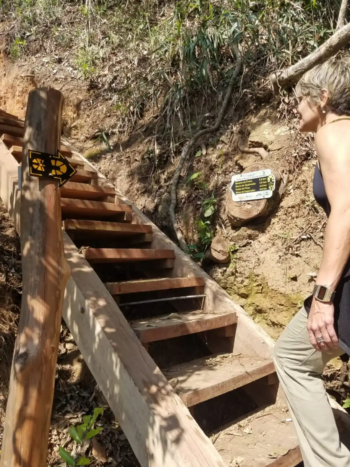
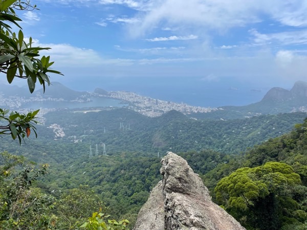
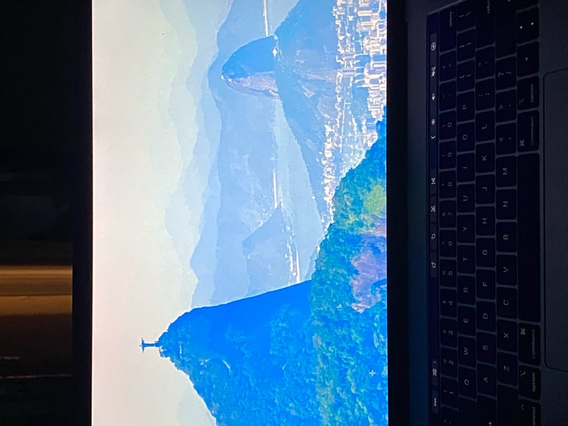
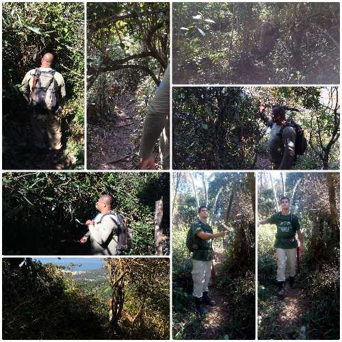
Walk through the heart of the Serra da Carioca, in what is considered one of the most beautiful sections of the Transcarioca Trail. Stunning landscapes surprise hikers and make the ascent/descent of the crossing between the North and South Zones of the city easier, passing through four hills: Freira; Boa Vista; Queimado; Pai Ricardo. At various points, it is possible to see almost the entire South Zone, as well as part of Barra da Tijuca, Pedra da Gávea, Morro Dois Irmãos, and the Serra dos Órgãos. Its start/end is at the Emperor's Table, an old stop for the Royal Family for meals. The trail follows an old path through the forest, cleared to make way for a railway line that was never built.
Activities

Activity Hiking
Time 3h 0m
Guidelines
 Extension: 5.8 Km
 Difficulty Moderate
 Orientation Easy
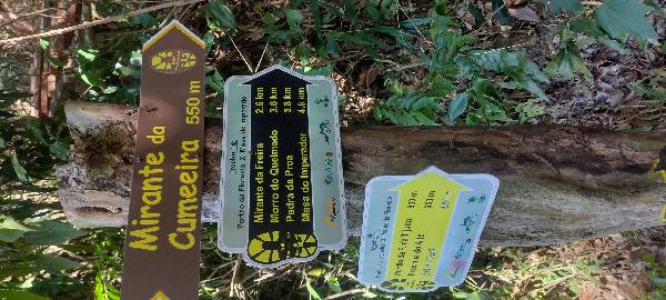
 Signaling Level Complete
 Conservation Excellent
 Risk Exposure Medium
 Sun Exposure Medium
 Hydration Point Unavailable
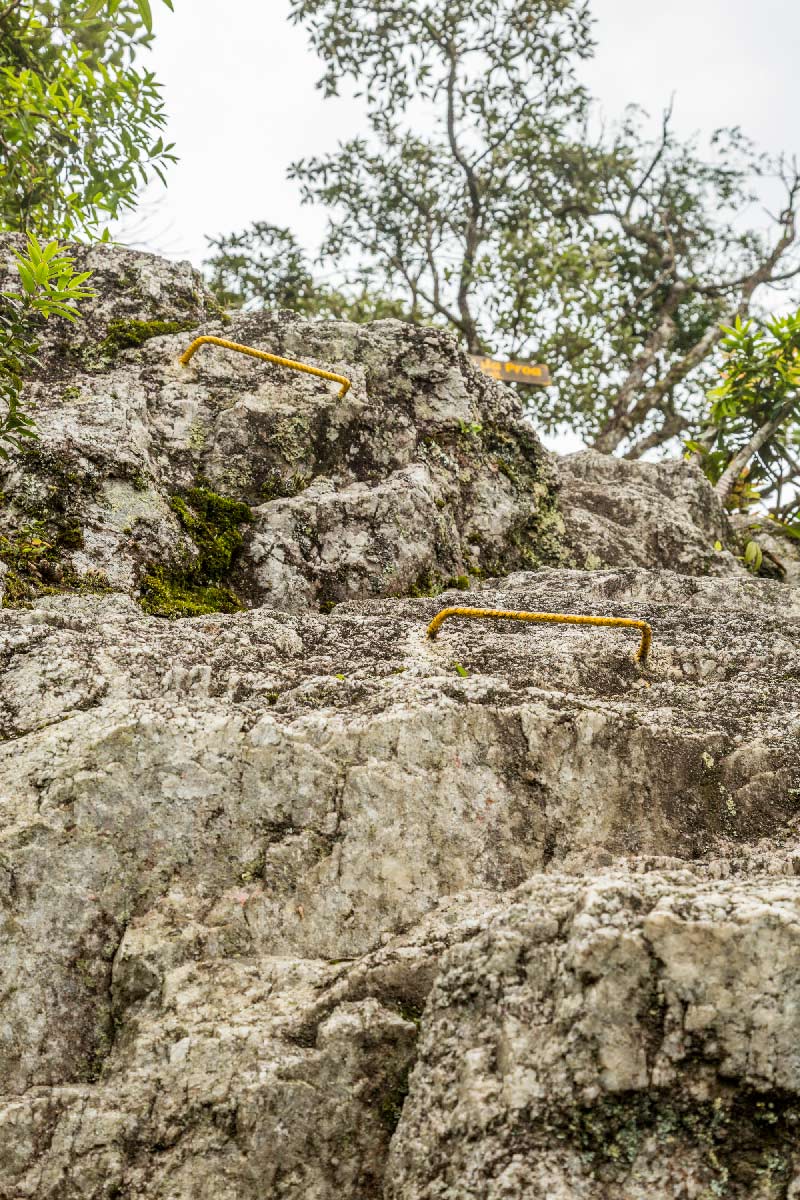
 Climbing There is
 Minimum Altitude: 349m Maximum Altitude: 705m
 Negative Unevenness: 406m
 Positive Unevenness: 540m
Attractions that the trail offers
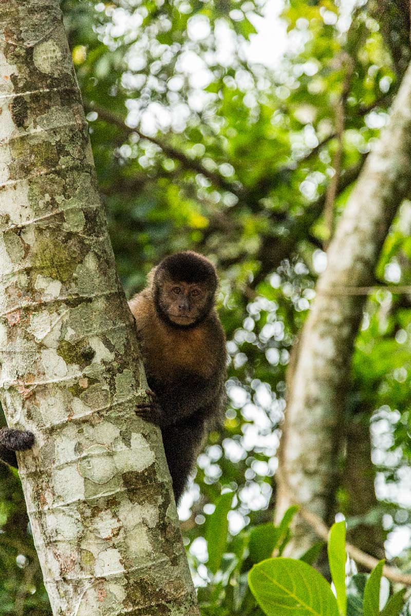
 Fauna
 Viewpoints
 Ruins
Trecho 14 - Portão da Floresta x Mesa do Imperador is a segment of the following Long-Distance Trail

The trail is located in the following protected area


Wanessafd Castilho 01/05/2023
Trilha realizada em 2019, 2021.

Andonios Kontos 30/04/2023
Ótima trilha

Thaís Dalt 03/04/2023
trilha limpa, bem sinalizada.

Erivanildo Barbosa 24/03/2023
pedra da proa
Erivanildo Barbosa 24/03/2023
trilha muito boa,nível moderado

Dani Souza 10/03/2023
primeira cachoeira logo após a entrada na trilha pelo portão de visitantes
Cosme Basto 05/03/2023
vista da mesa do imperador.

Filipe Santos 17/02/2023
Caminho Alto da Boa Vista x Horto
Warnings
Environmental conservation
27/08/2023
Environmental conservation
16/01/2022
Others
24/08/2021
Others
24/08/2021
Environmental conservation
27/02/2021
Others
24/01/2021
Environmental conservation
05/11/2019
Environmental conservation
31/08/2019
Environmental conservation
31/08/2019
Others
04/07/2019
Environmental conservation
11/06/2019
Environmental conservation
20/03/2019
Environmental conservation
25/06/2018
Environmental conservation
01/05/2018
Others
01/05/2018
Environmental conservation
12/09/2017
Others
08/09/2017
Map
Guidelines
Extension: 5.8 KmDifficulty: ModerateOrientation: EasySignaling Level: CompleteMinimum Altitude: 349m Maximum Altitude: 705m Negative Unevenness: 406m Positive Unevenness: 540m