Trecho 15 - Mesa do Imperador x Vista Chinesa
Description
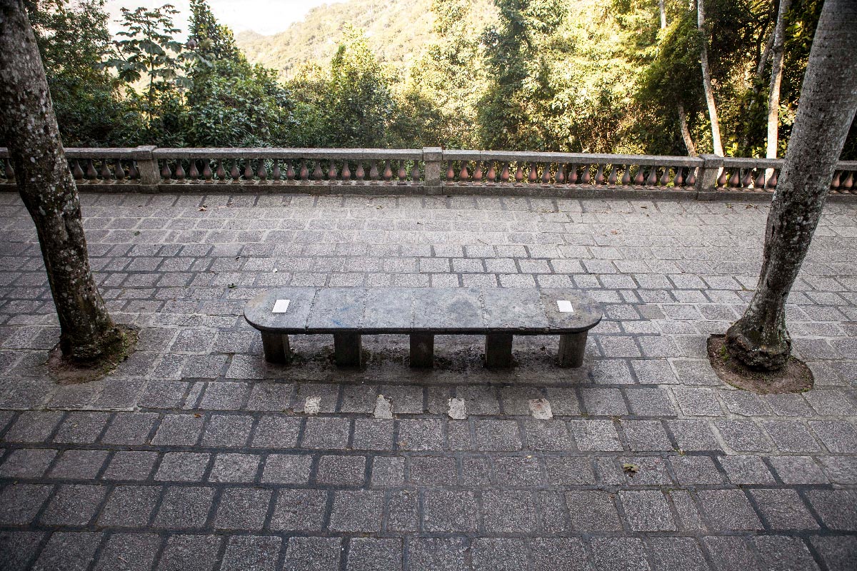
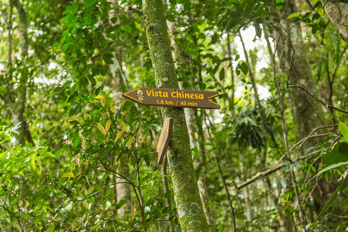
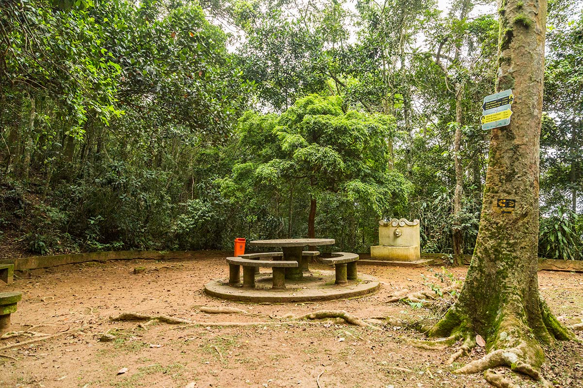
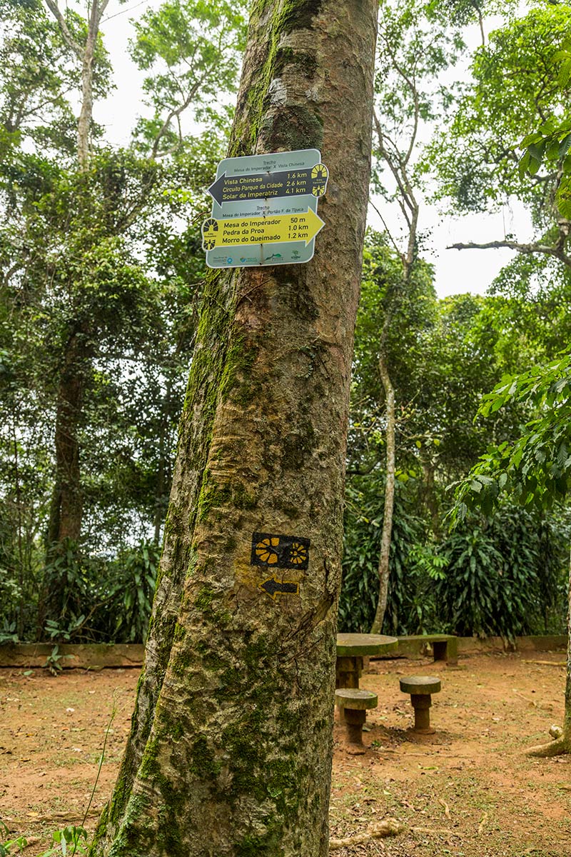
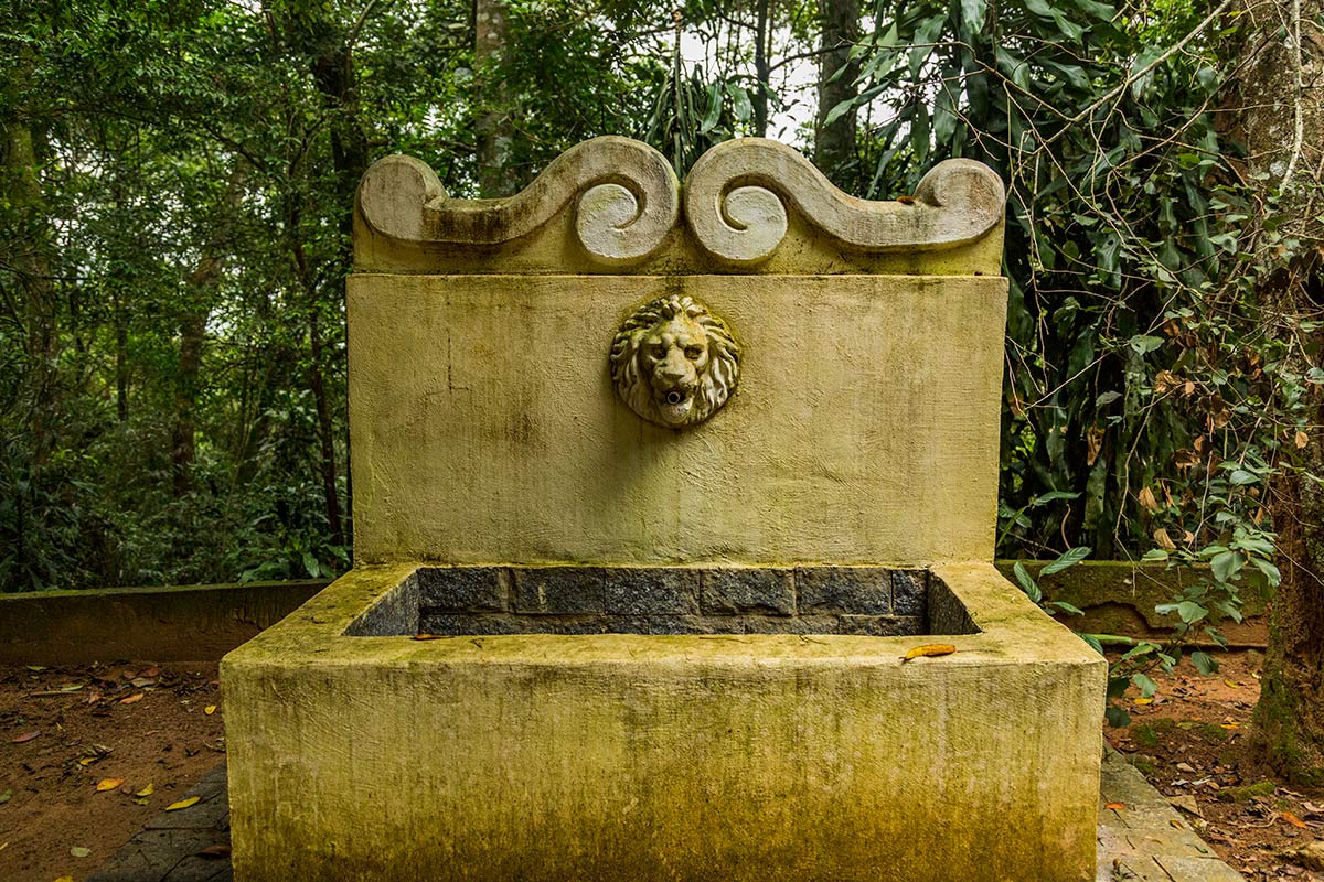
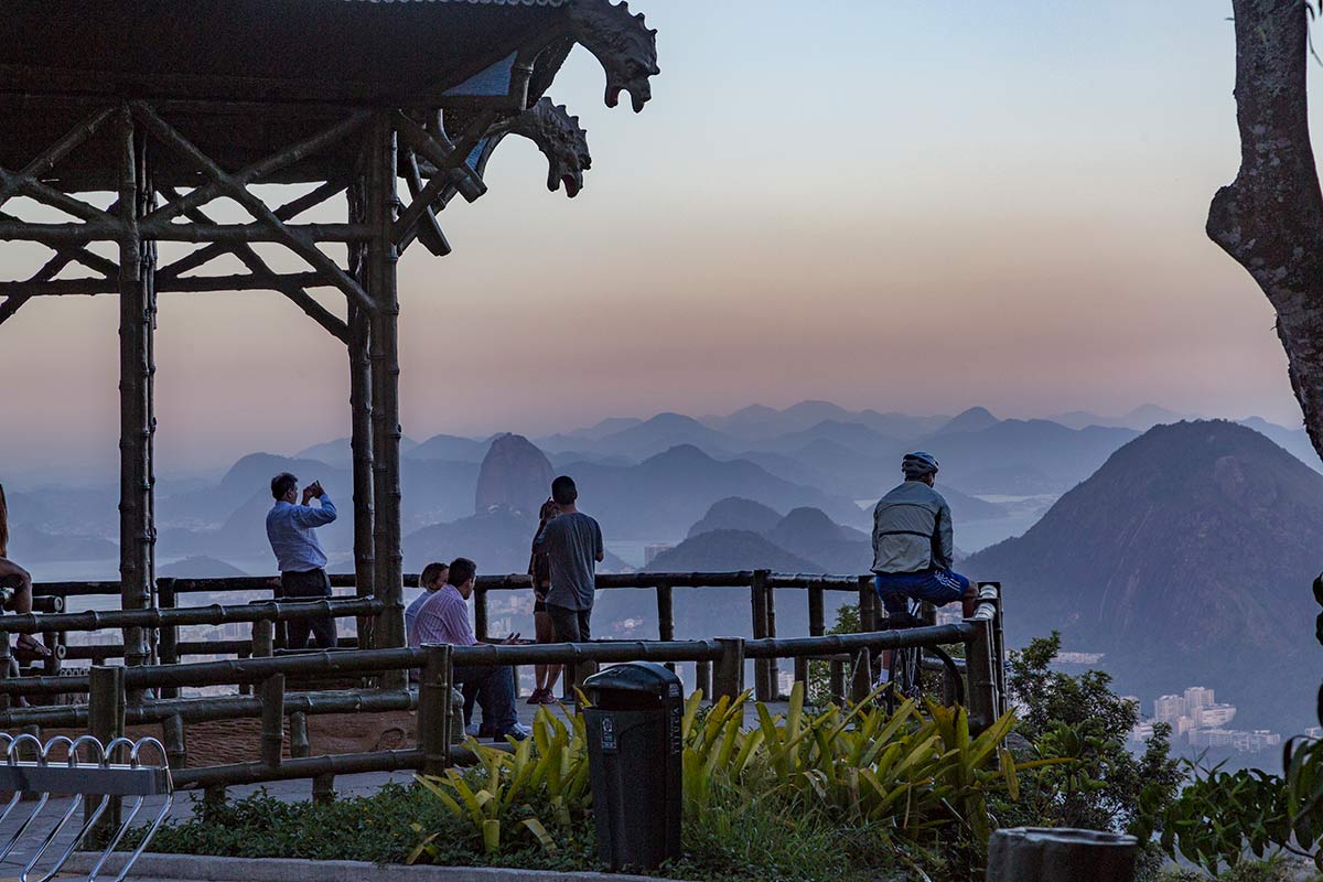
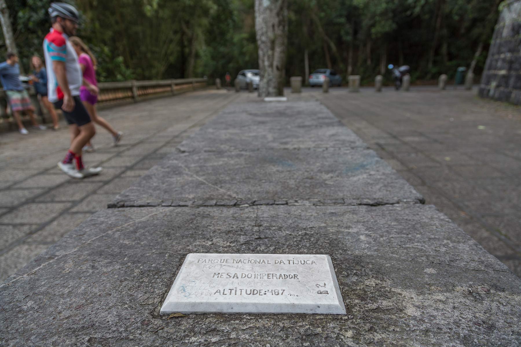
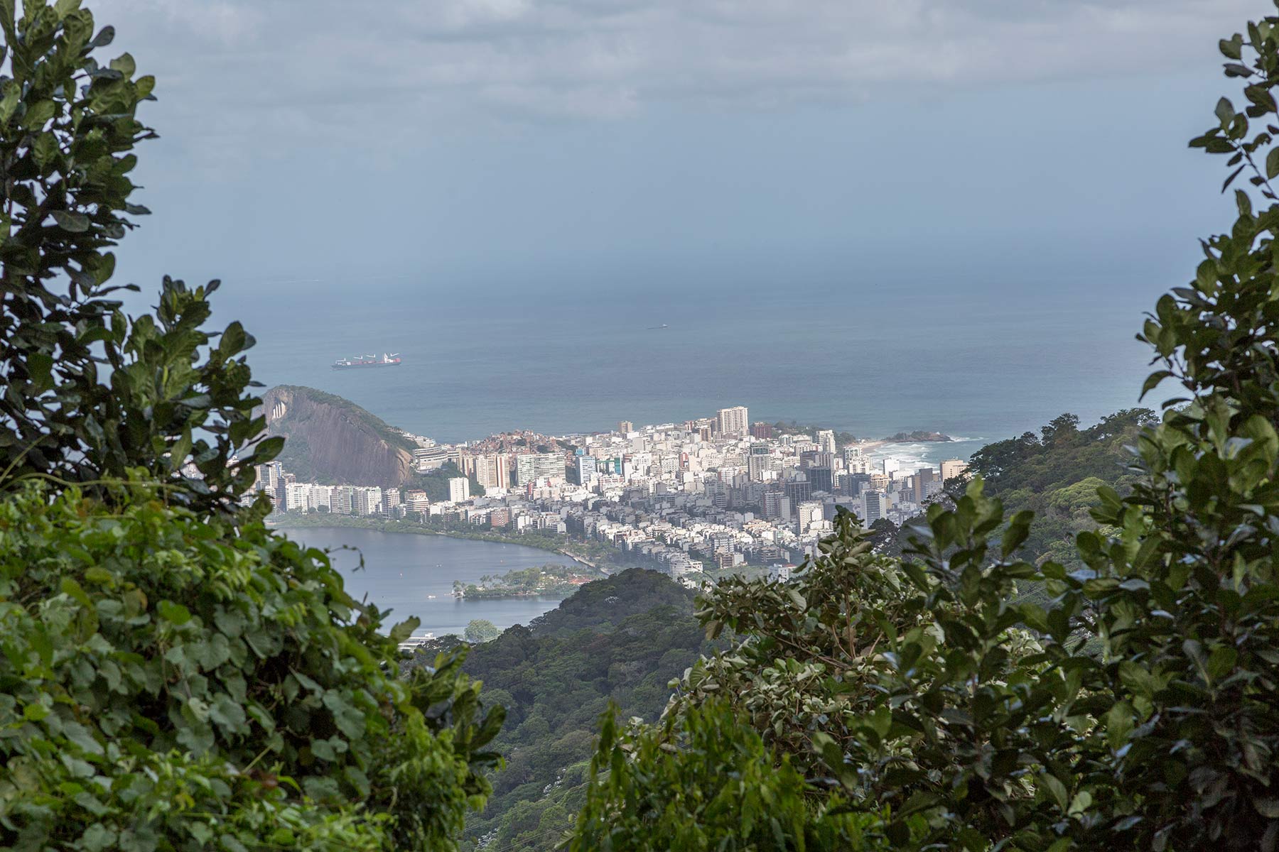
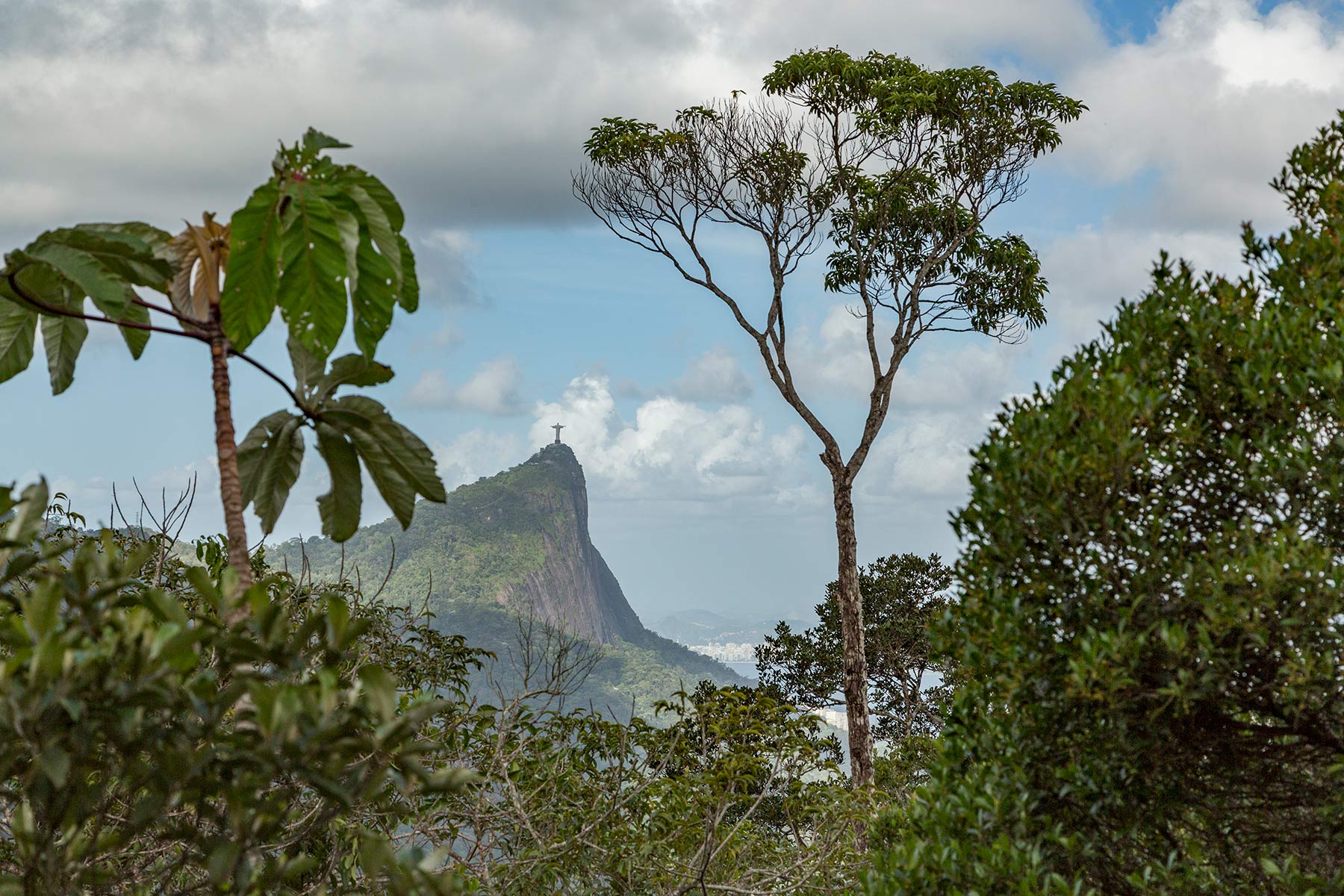
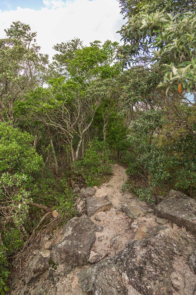
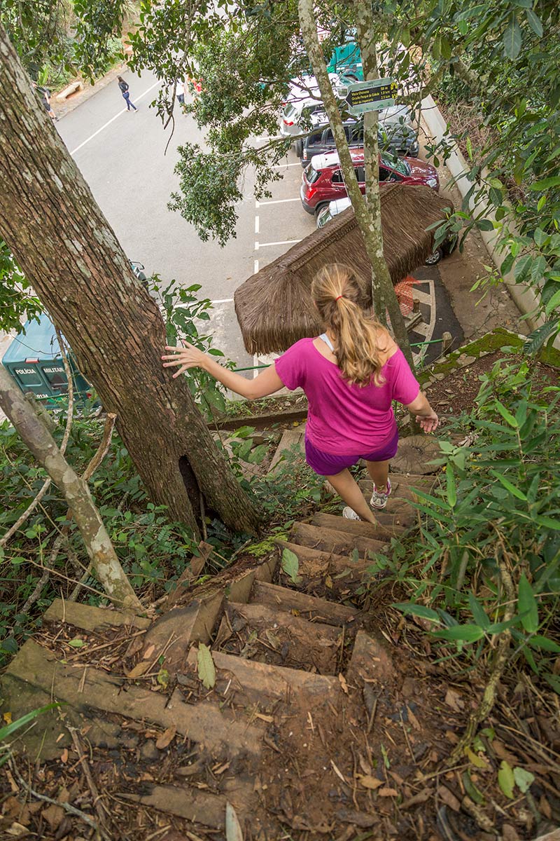
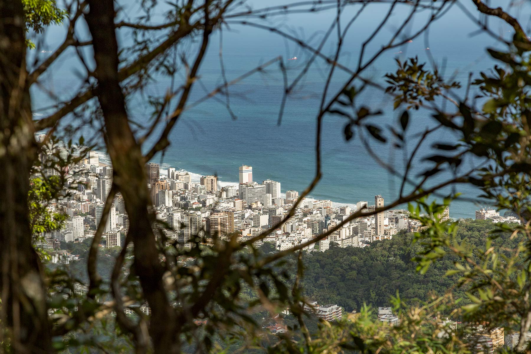
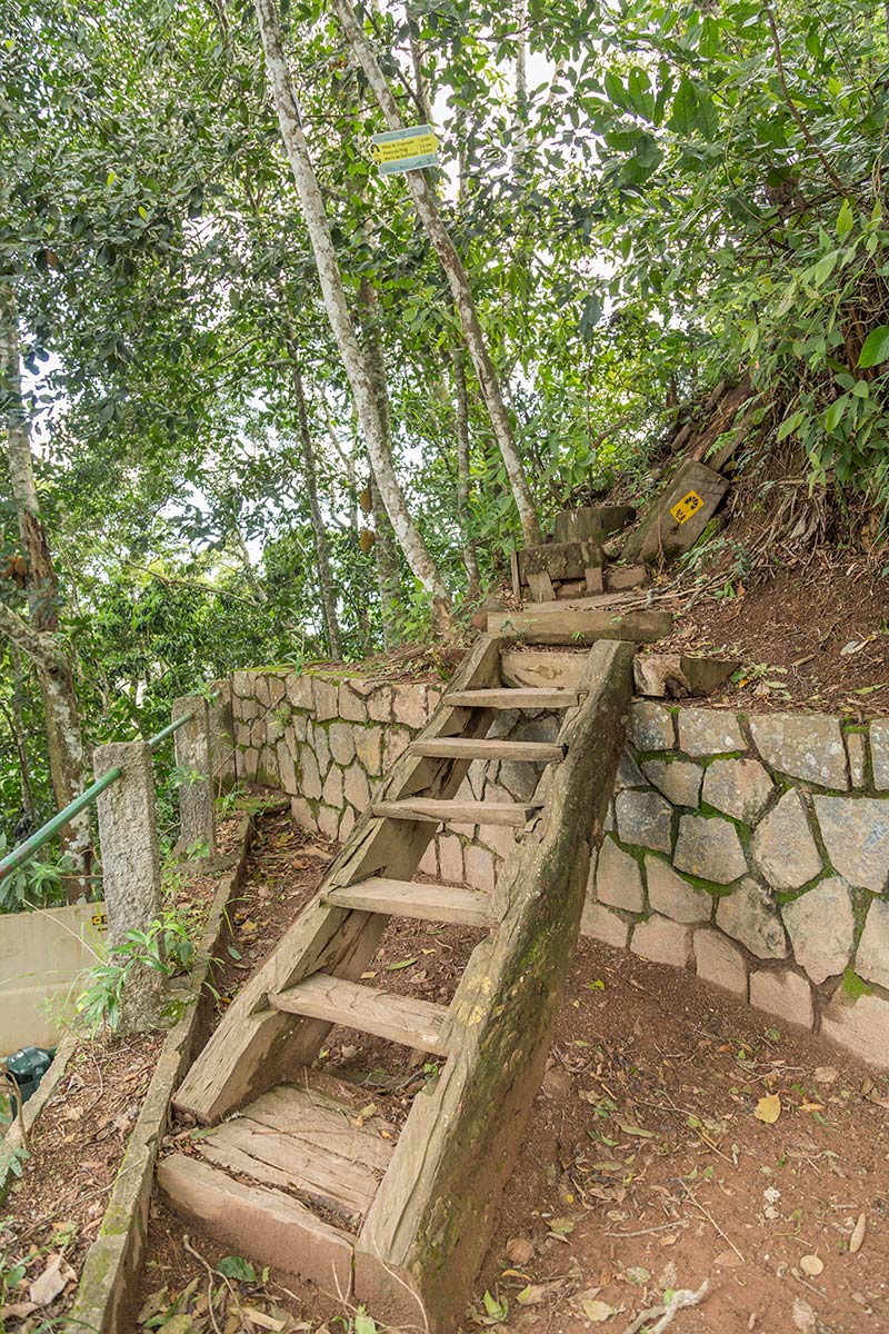
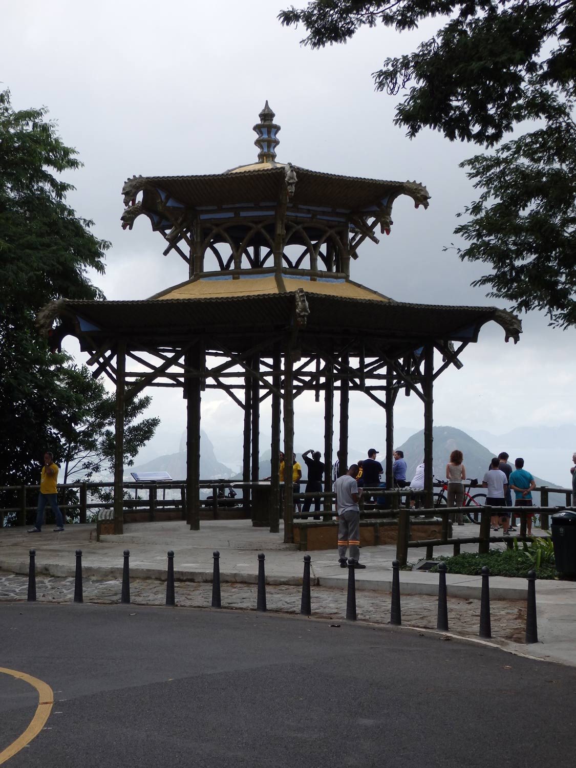
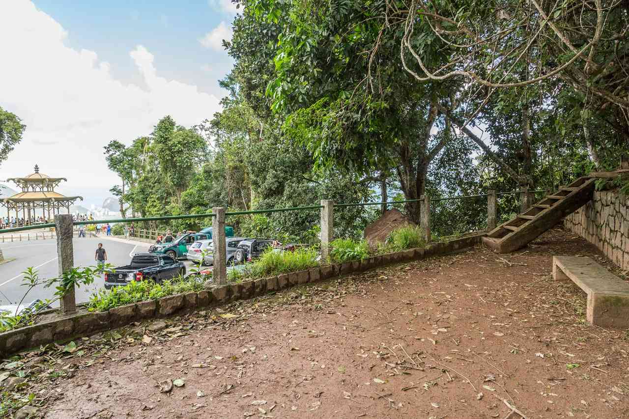
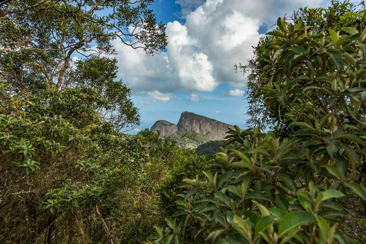
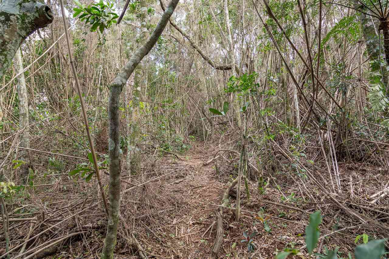
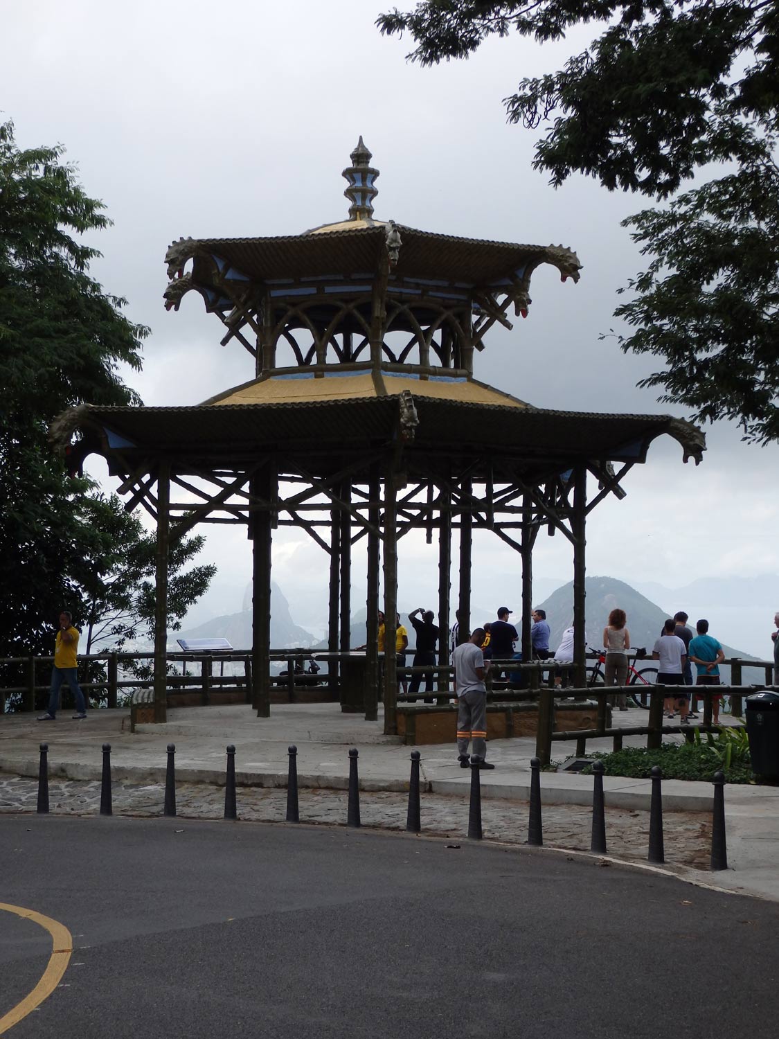
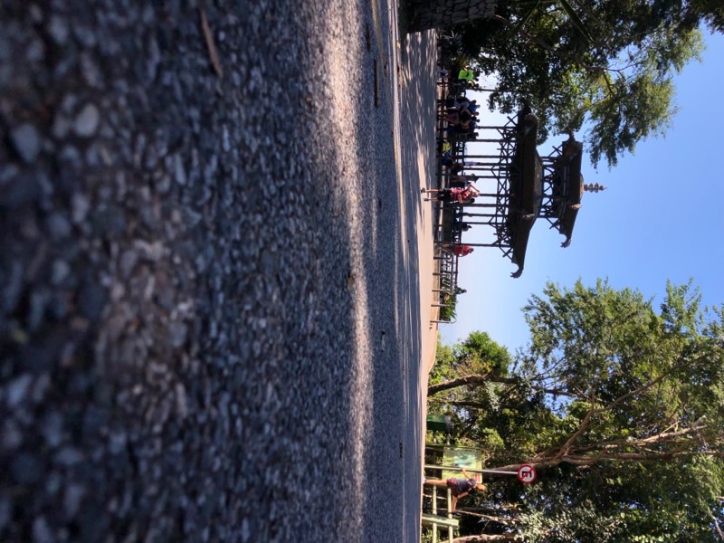
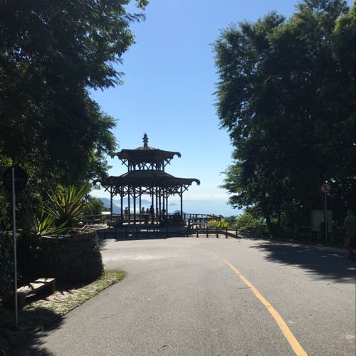
Short and with stunning views, ideal for beginners and families, this section connects two of the most beautiful viewpoints in the city and the Transcarioca Trail, along a route that ascends and descends an elevation of 800 m between the Chinese View and the Emperor's Table. At the highest point of the trail, a viewpoint allows for a view of Morro Dois Irmãos on one side and the massif of Serra da Carioca on the other. A good option is to take advantage of the structure of the Round Table for a picnic, at the entrance/exit near the Emperor's Table. The star of the section, the Chinese View deserves a few extra minutes for contemplation of the view of the South Zone of the city, with Christ the Redeemer on the left, Lagoa Rodrigo de Freitas in the middle, and the sea on the right. On days with a blue sky, it is possible to see the beaches of Niterói's coastline, on the other side of Guanabara Bay.
Activities

Guidelines
 Extension: 1.6 Km
 Difficulty Easy
 Orientation Easy
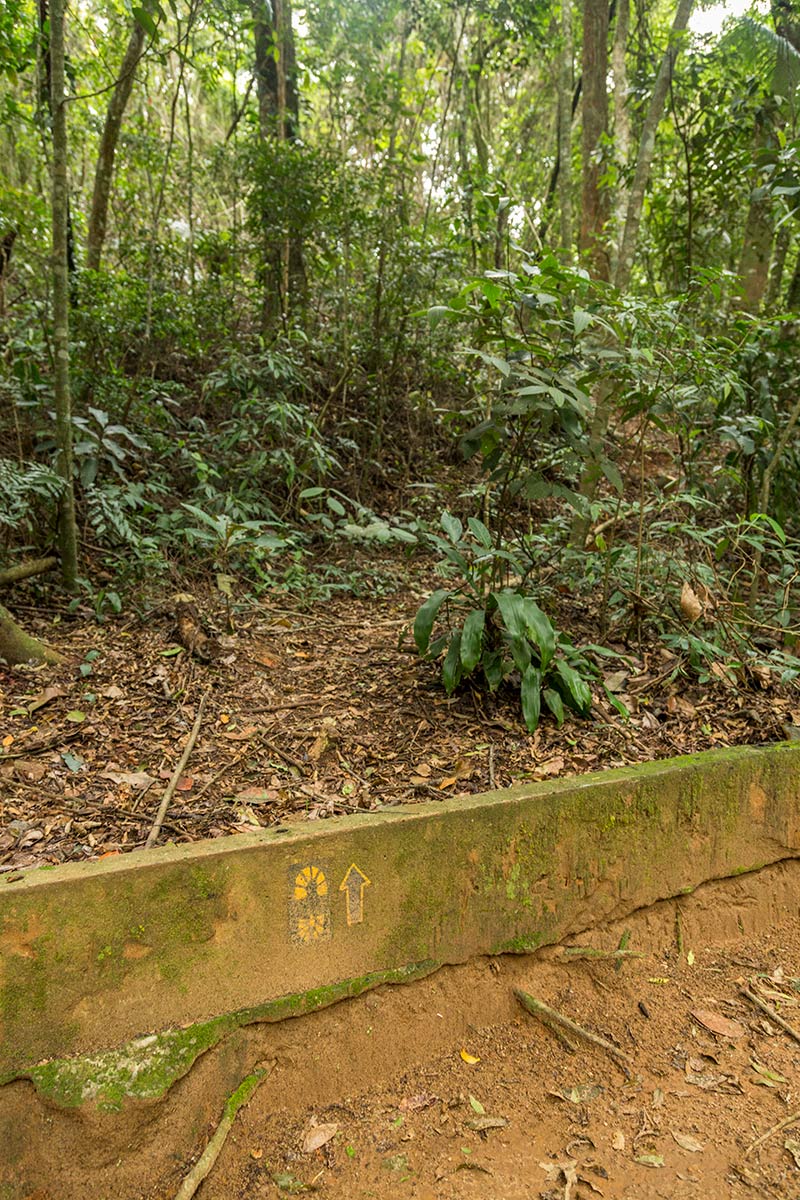
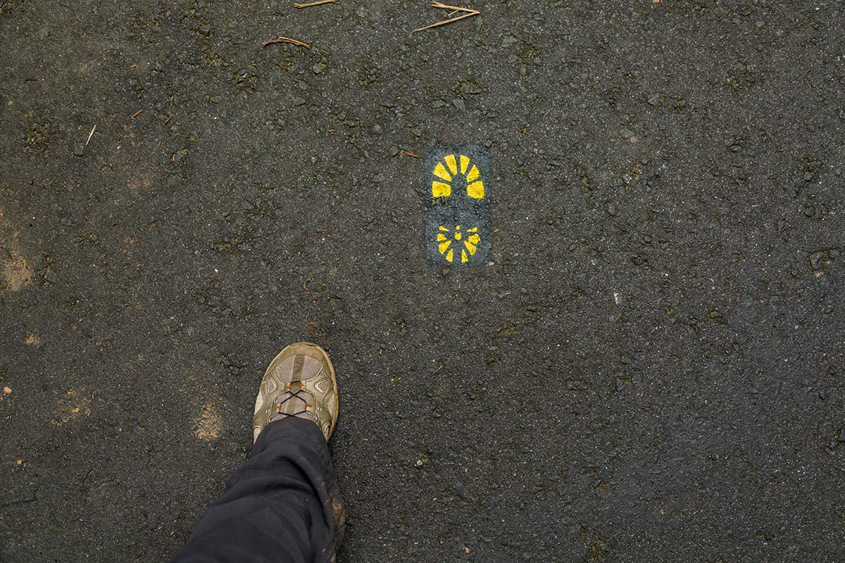
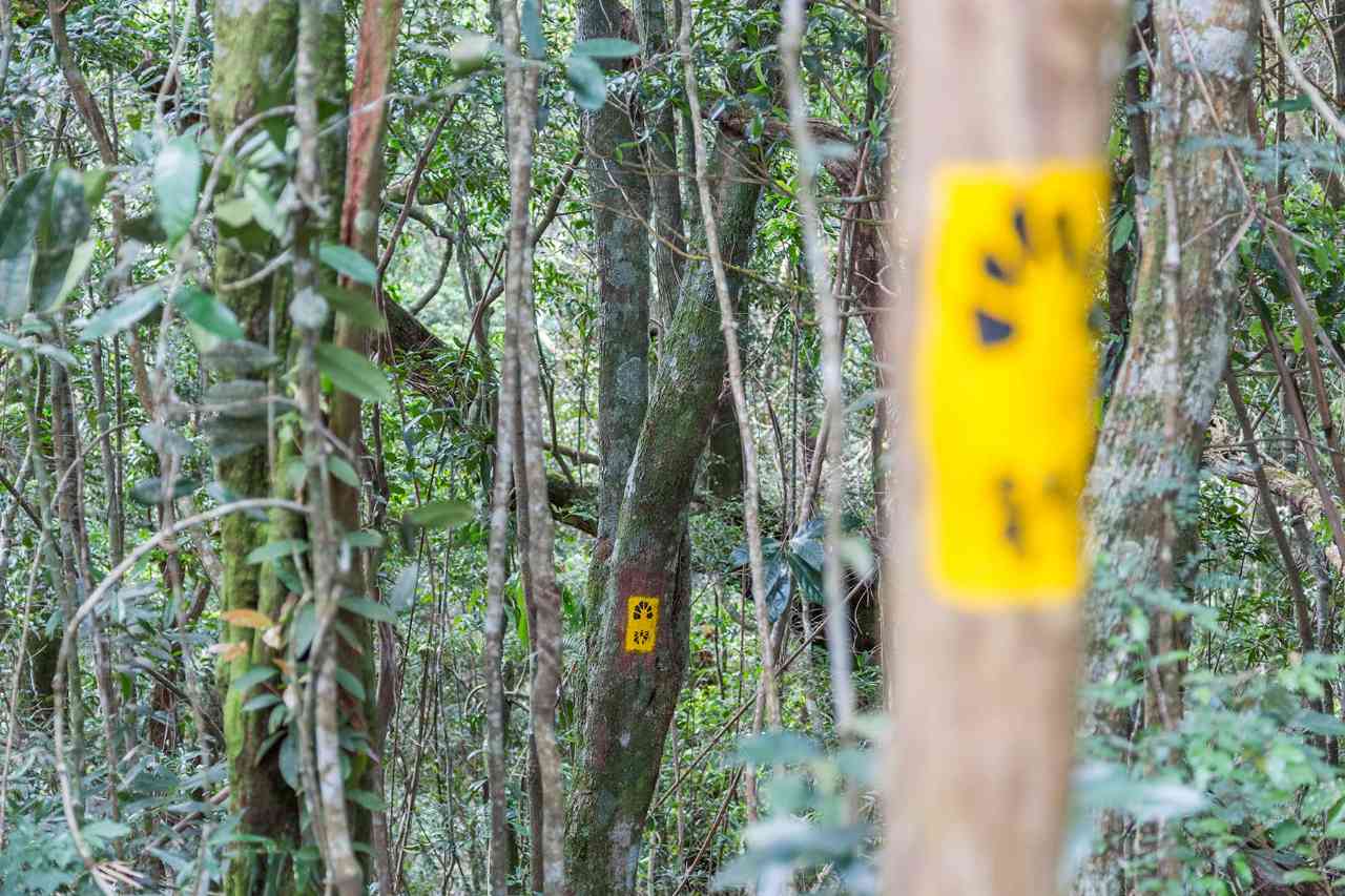
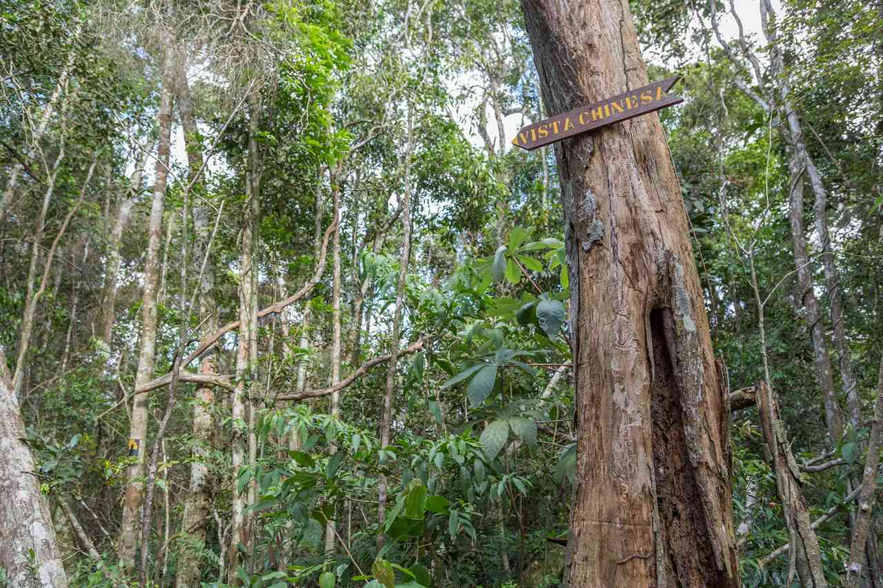
 Signaling Level Complete
 Conservation Good
 Risk Exposure Low
 Sun Exposure Low
 Hydration Point Unavailable
 Climbing No climbing required
 Minimum Altitude: 402m Maximum Altitude: 520m
 Negative Unevenness: 155m
 Positive Unevenness: 85m
Attractions that the trail offers
 Fauna
 Viewpoints
 Ruins
What to see on the trail
Trecho 15 - Mesa do Imperador x Vista Chinesa is a segment of the following Long-Distance Trail

The trail is located in the following protected area



Warnings
Map
Guidelines
Extension: 1.6 KmDifficulty: EasyOrientation: EasySignaling Level: CompleteMinimum Altitude: 402m Maximum Altitude: 520m Negative Unevenness: 155m Positive Unevenness: 85m