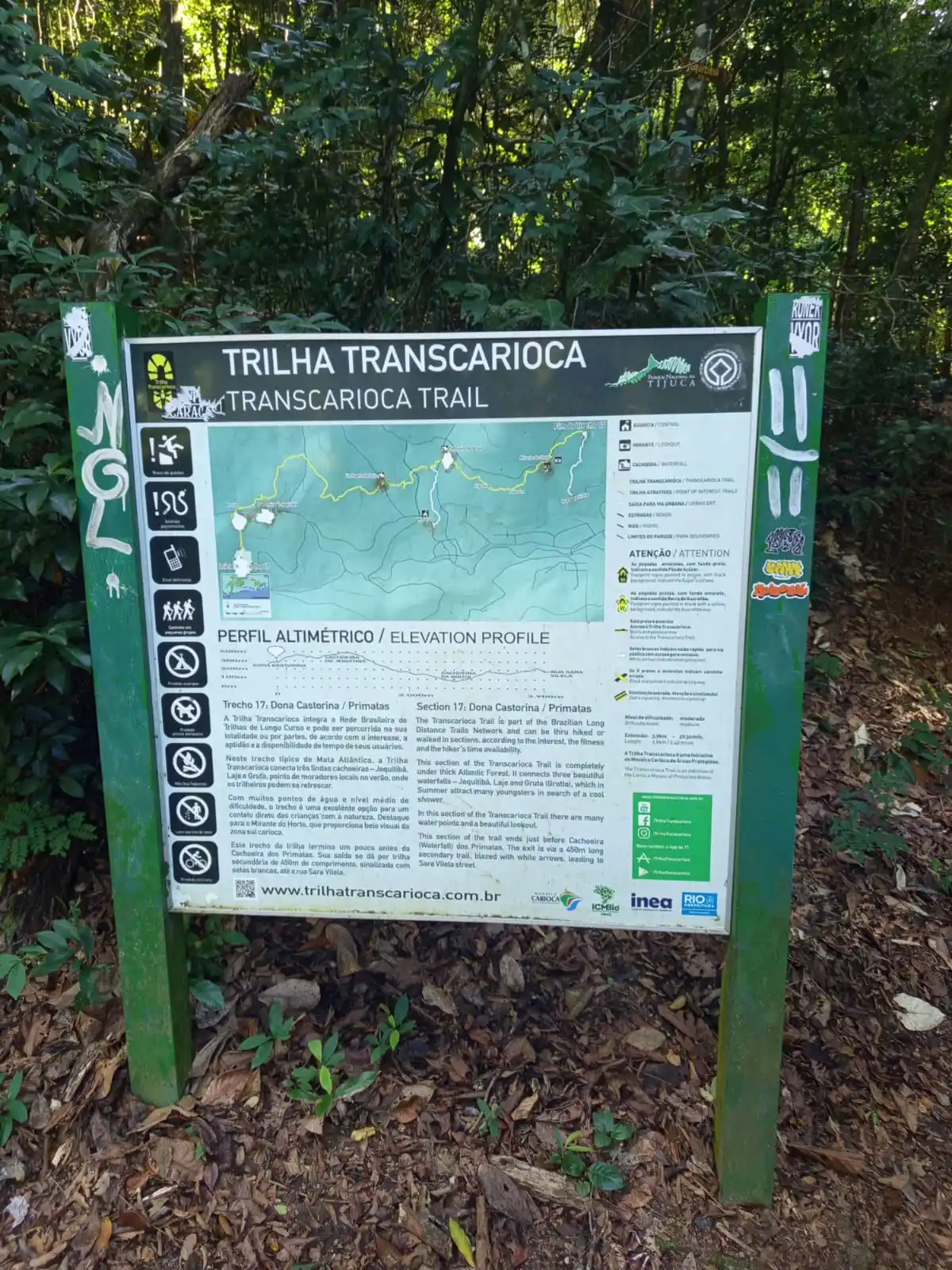
Trecho 17 - Dona Castorina x Primatas
Description
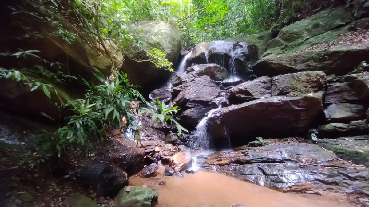
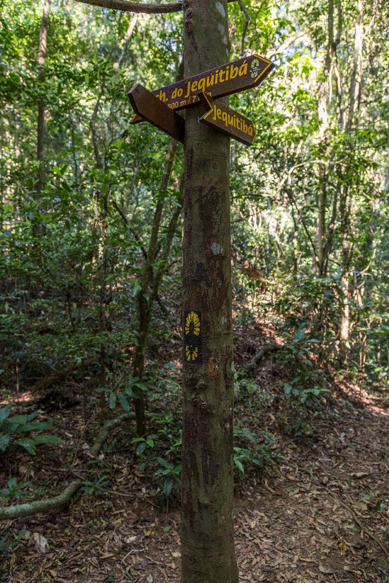
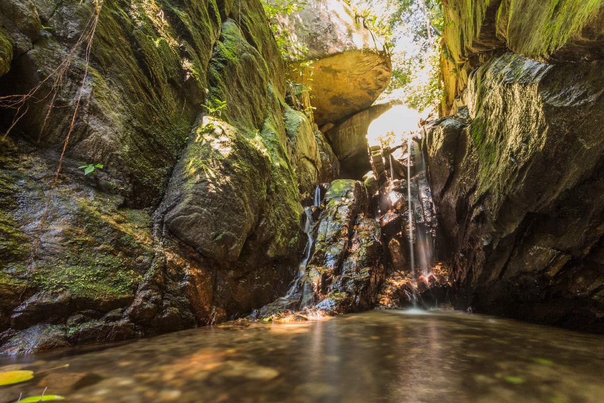
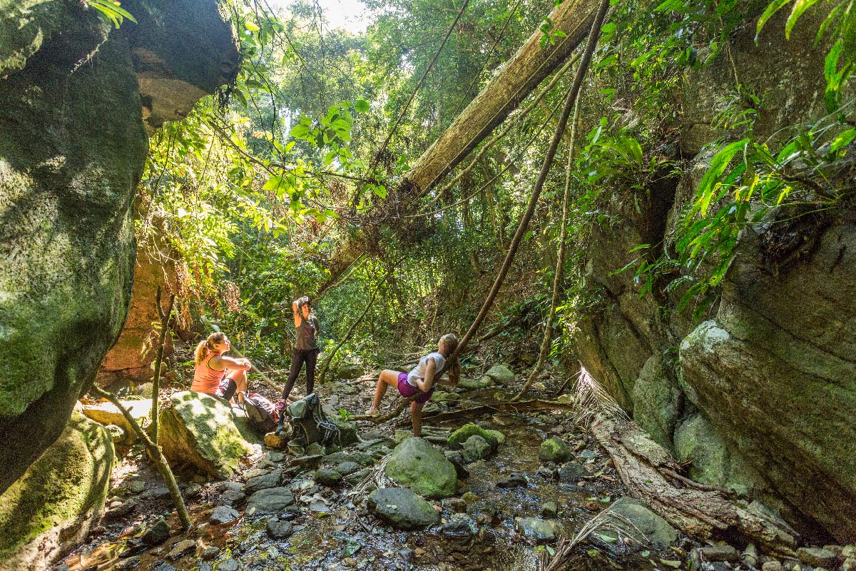
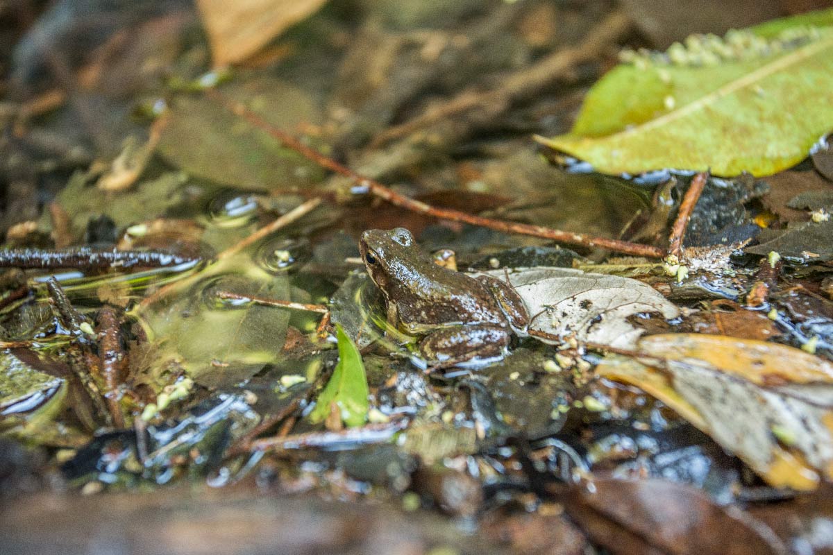
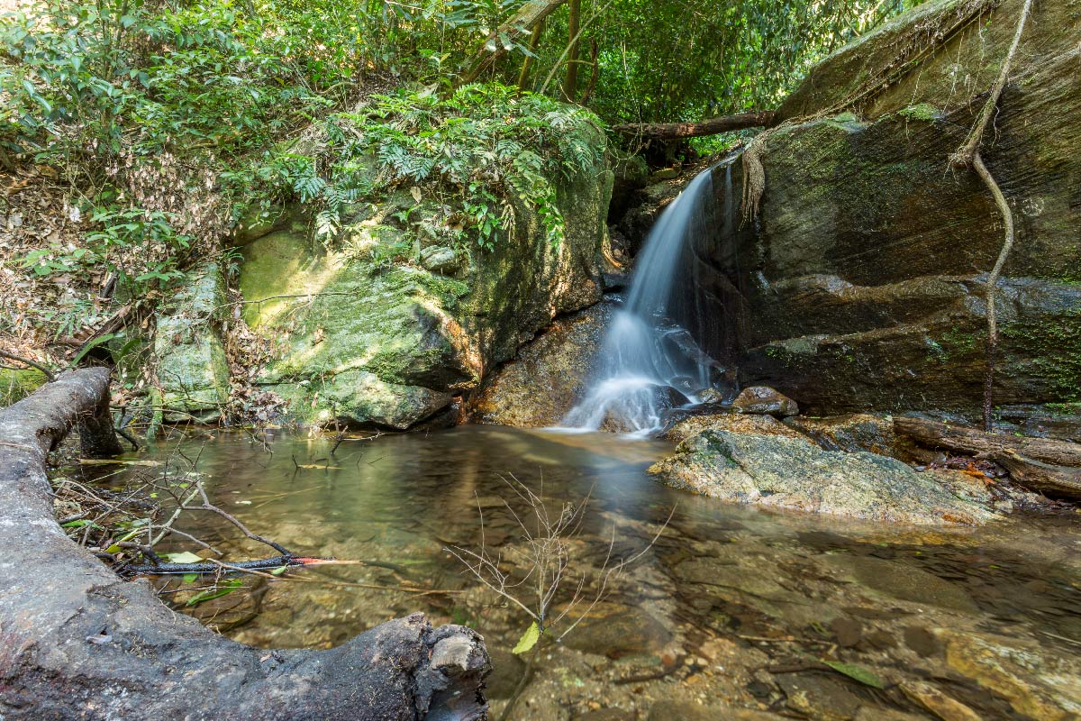
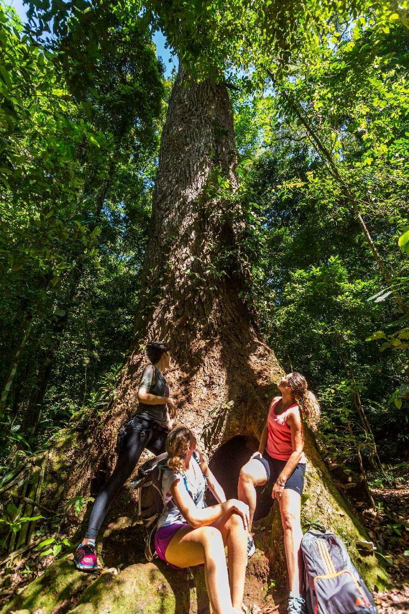
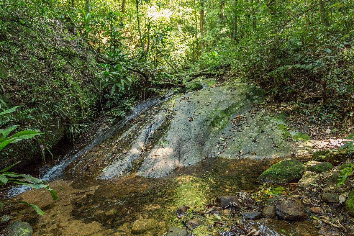
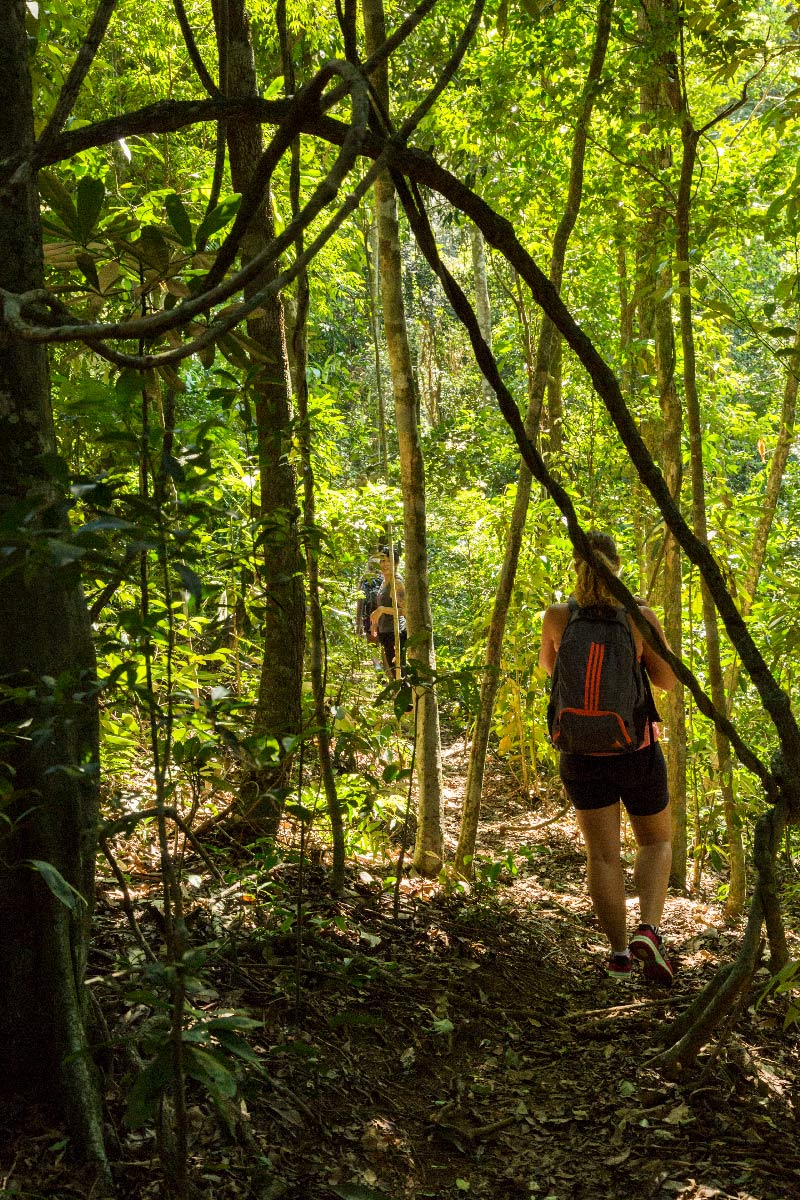
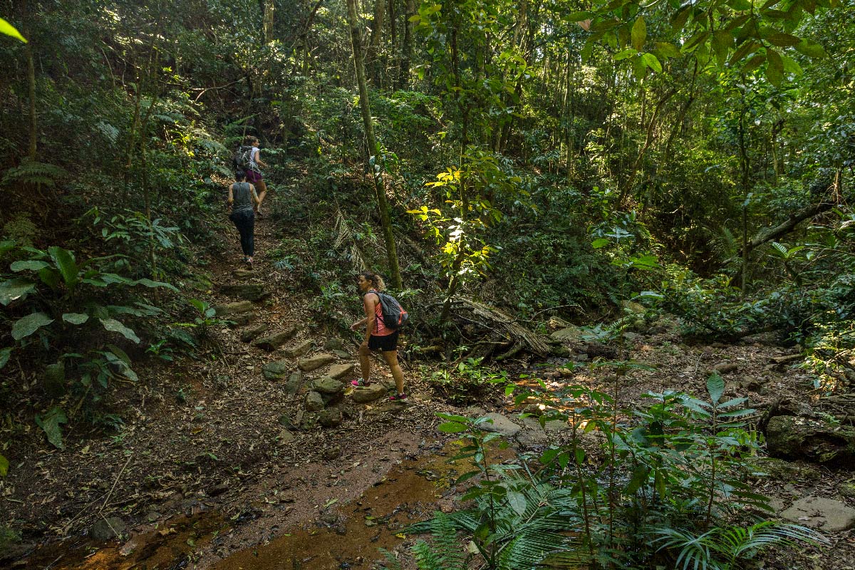
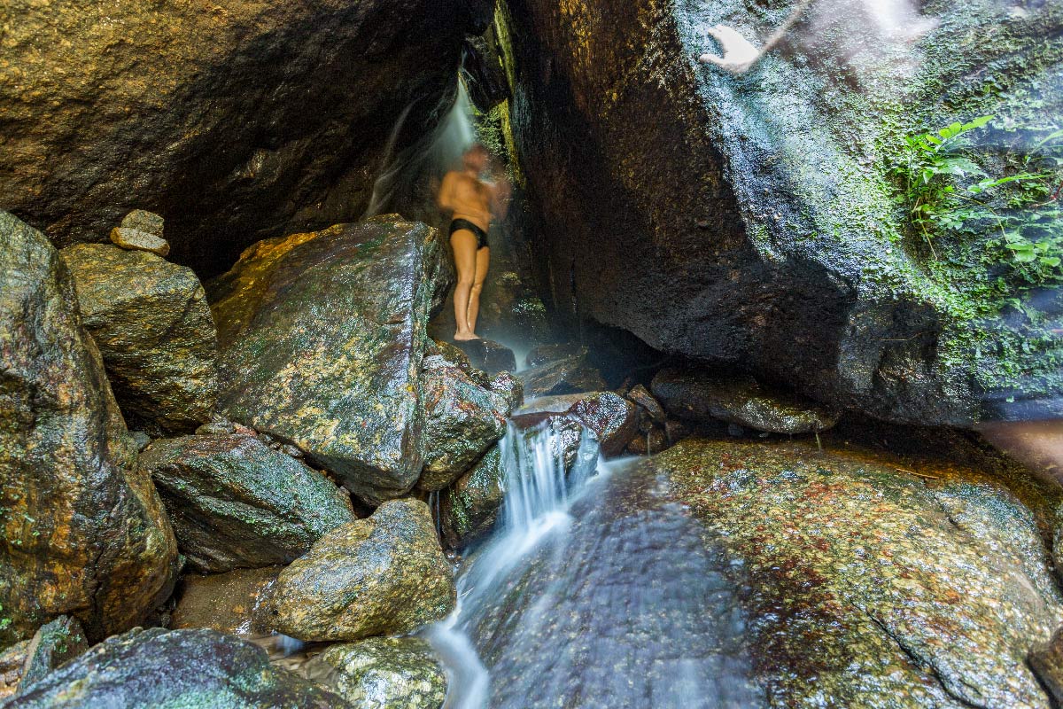
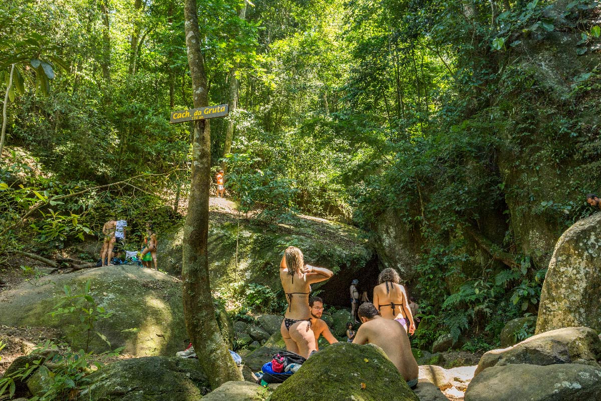
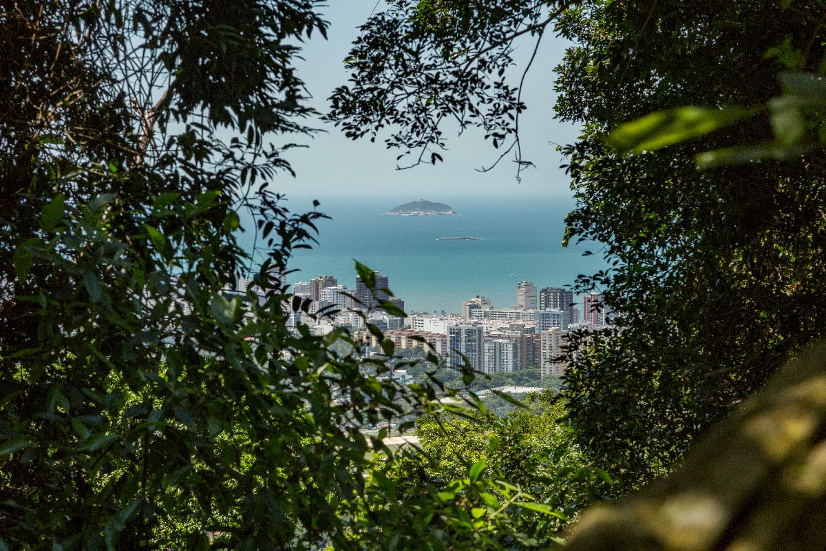
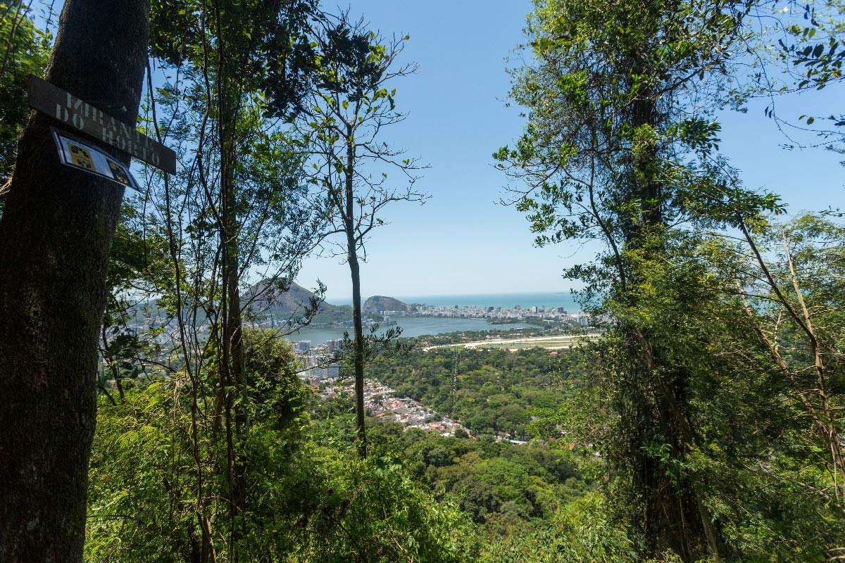
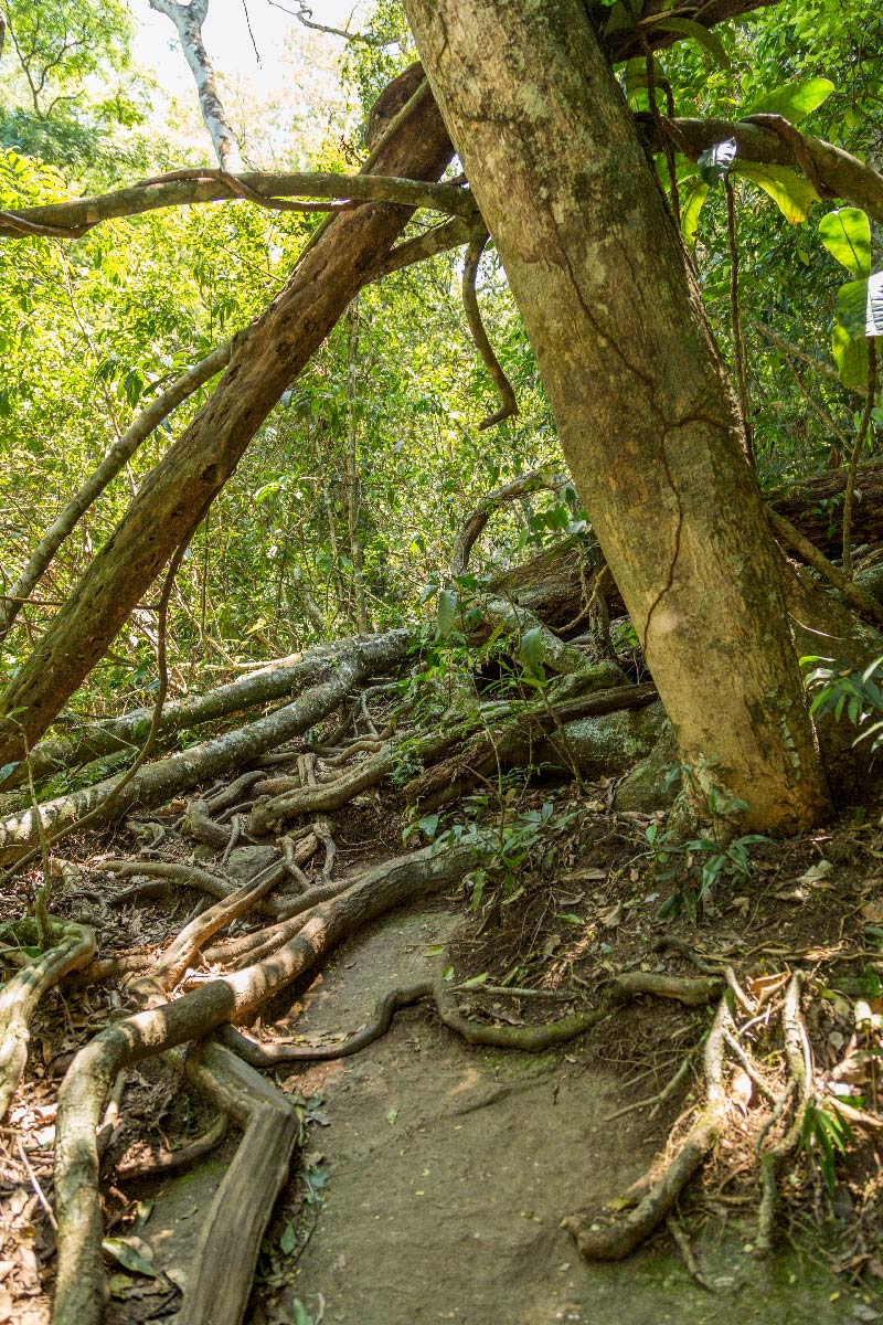
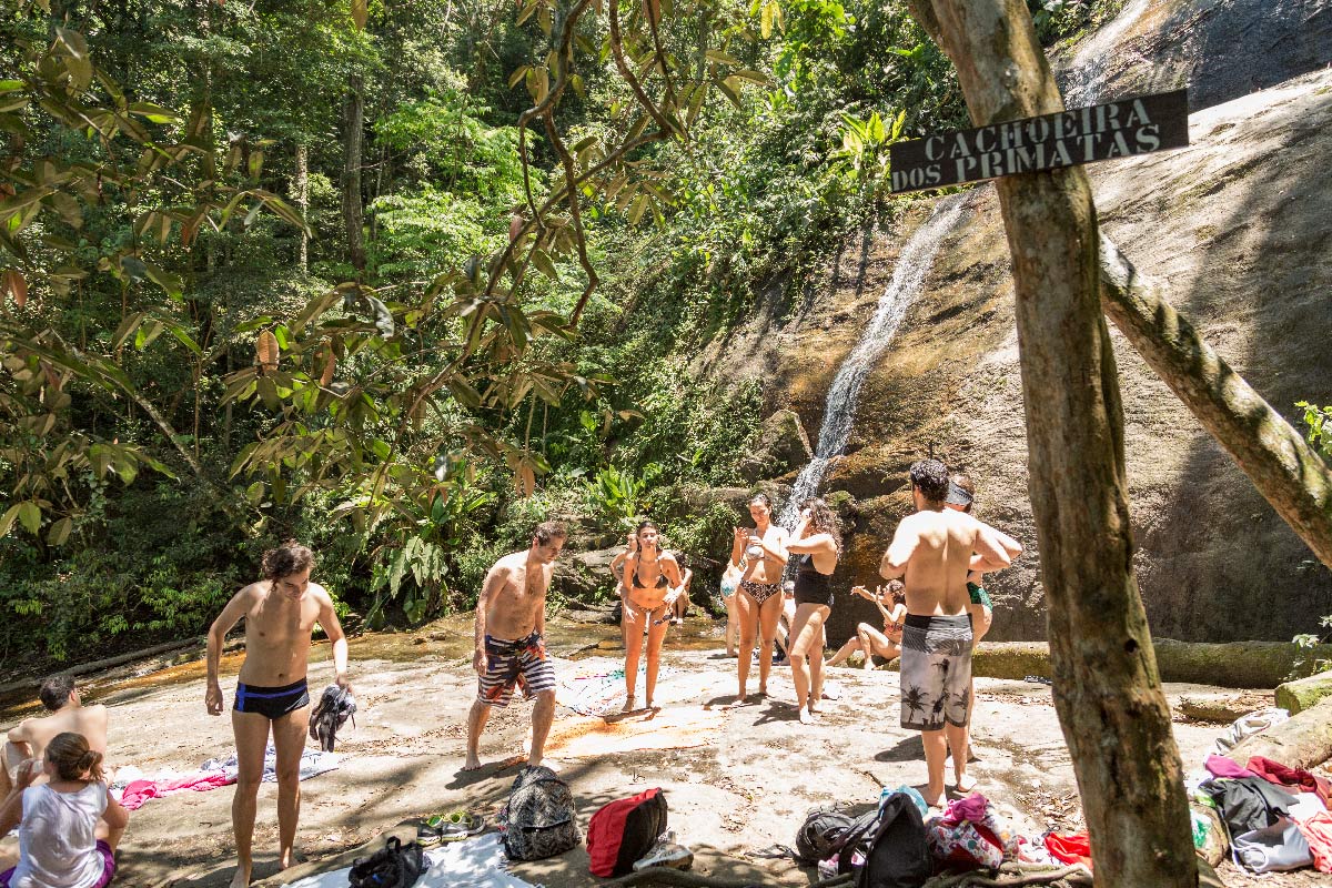
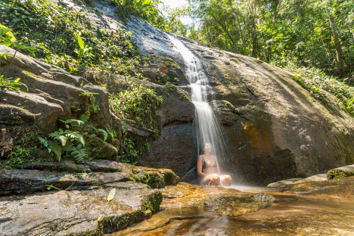
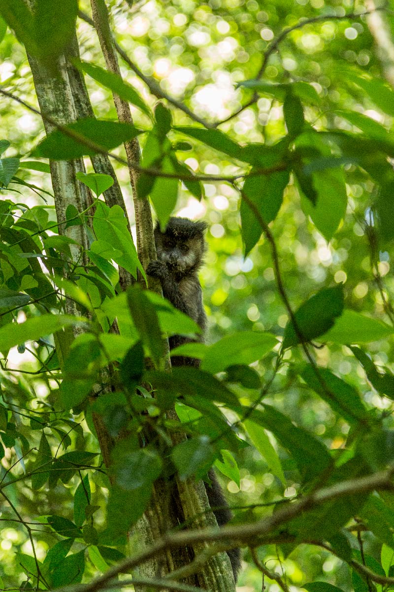
A typical Atlantic Forest section in the heart of the South Zone of Rio de Janeiro, this route connects two waterfalls along a path where visitors traverse almost the entire trail through the forest. With many water points and an easy level, it is an excellent option for direct contact with nature for children. The round trip to the Cachoeira dos Primatas is always a must-see. In the summer, it becomes a hotspot for local residents, which brings life to the trail. At the beginning of the section on the west side, observe the century-old jequitibá tree that has become a landmark for being hollow and allowing entry inside. Along the way, streams and the Cachoeira da Gruta are spots where visitors can cool off.
Activities

Activity Hiking
Time 2h 0m
Guidelines
 Extension: 3.9 Km
 Difficulty Moderate
 Orientation Easy
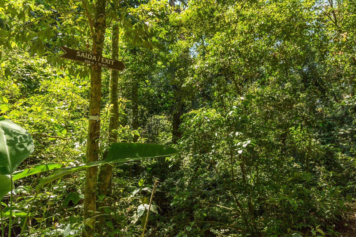
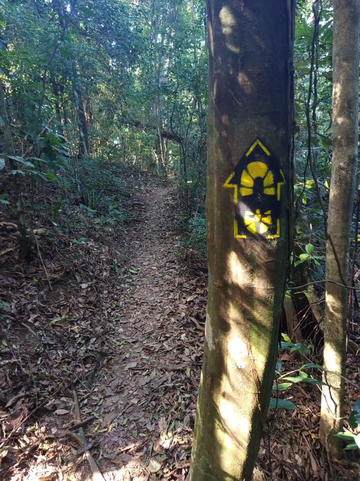
 Signaling Level Complete
 Conservation Good
 Risk Exposure Low
 Sun Exposure Low
 Hydration Point Available
 Climbing No climbing required
 Minimum Altitude: 83m Maximum Altitude: 305m
 Negative Unevenness: 534m
 Positive Unevenness: 326m
Attractions that the trail offers
 Fauna
 Viewpoints
 Ruins
Trecho 17 - Dona Castorina x Primatas is a segment of the following Long-Distance Trail

The trail is located in the following protected area

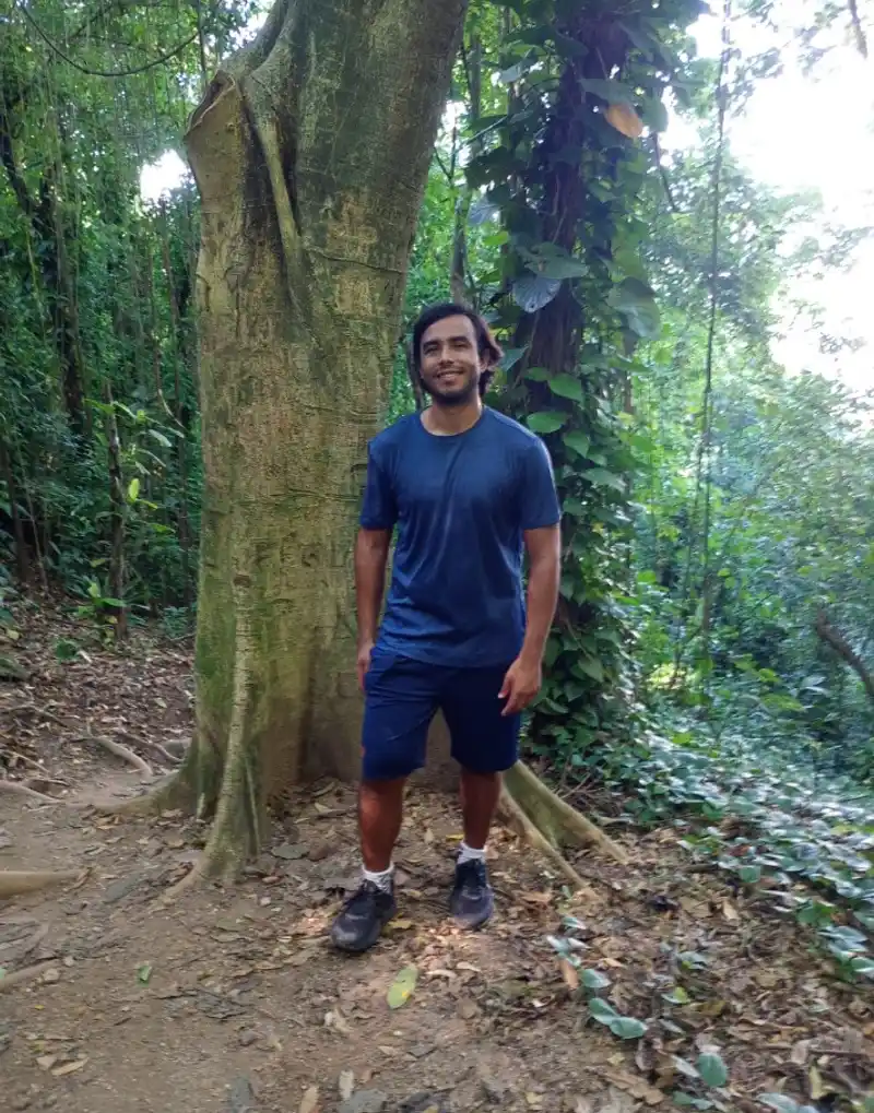
João Cunha 26/07/2026
a sinalização precisa melhorar, muitas estão apagadas ou até ausentes em algumas bifurcações

Wanessafd Castilho 01/05/2023
Trilha realizada em 2021 e 2023. Está bem sinalizada!

Rangel Baldasso 22/04/2023
02

Dani Souza 10/03/2023
cachoeira dos primatas

Marcos Ferreira 12/01/2023
otimo

Fabio Nascimento 25/09/2022
Mutirão TT - Trecho 17

Renato Fraga 13/11/2021
cachoeira do primatas

Alexandra Golovinskaya 01/04/2021
Warnings
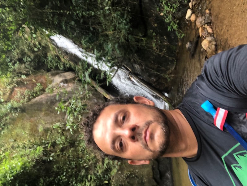
Environmental conservation
12/01/2023

Environmental conservation
25/09/2022

Environmental conservation
25/09/2022
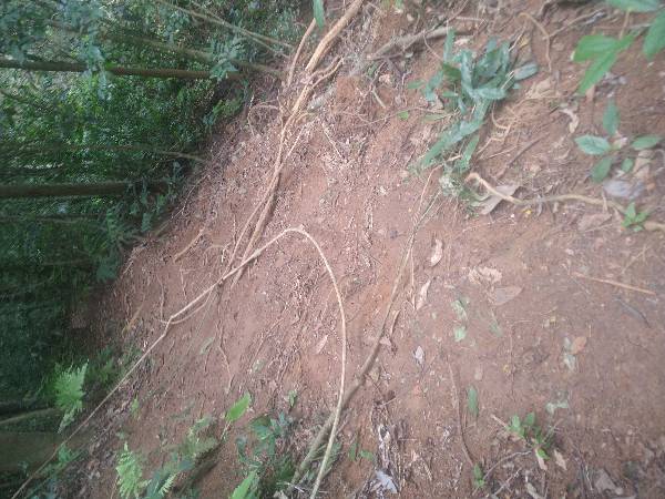
Environmental conservation
25/09/2022
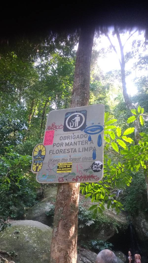
Flora and Fauna (sighting)
10/09/2022
Security
08/02/2021
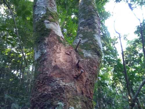
Environmental conservation
14/07/2019
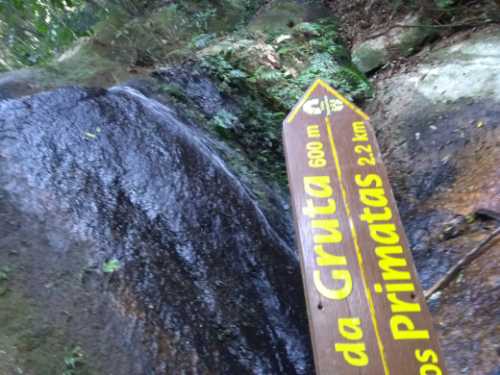
Environmental conservation
14/07/2019
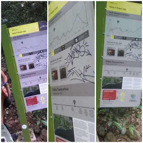
Environmental conservation
15/04/2018
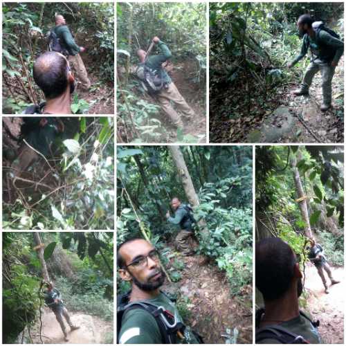
Environmental conservation
15/04/2018
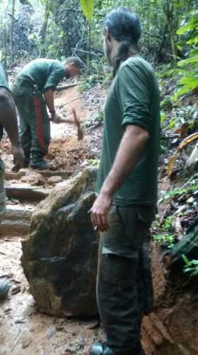
Environmental conservation
09/04/2018
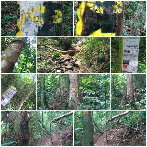
Environmental conservation
09/04/2018
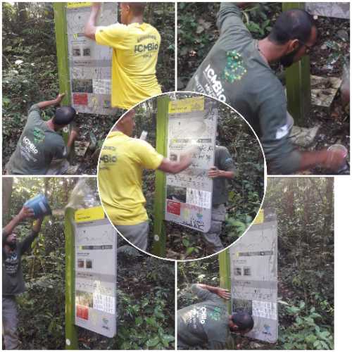
Environmental conservation
03/04/2018
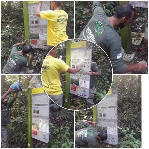
Environmental conservation
03/04/2018
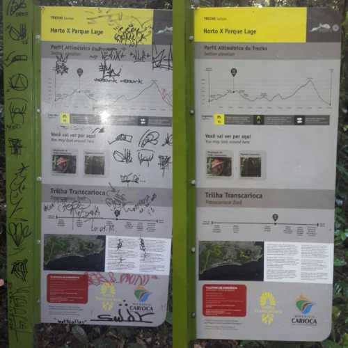
Environmental conservation
03/04/2018
Map
Guidelines
Extension: 3.9 KmDifficulty: ModerateOrientation: EasySignaling Level: CompleteMinimum Altitude: 83m Maximum Altitude: 305m Negative Unevenness: 534m Positive Unevenness: 326m