Trecho 23 - Ladeira dos Tabajaras x Portão da Chacrinha
Description
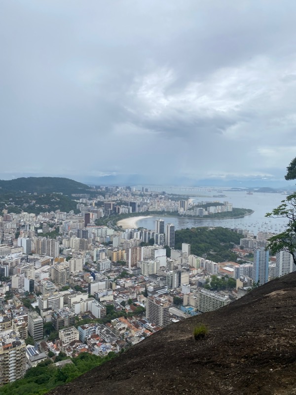
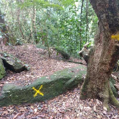
This is an easy and not very long walk. However, it is recommended to be done in a group and preferably with someone who is already familiar with the area. Don't forget to bring enough water for the entire route. Leaving from Ladeira dos Tabajaras, formerly known as Ladeira do Barroso, the walk follows an asphalted road through some houses in the community before entering the main trail. It is a wide, wooded path with some bamboo groves and viewpoints overlooking the South Zone of the city. Notable is the Mirante do Morro São João. The trail continues parallel to Ladeira do Leme until reaching the Chacrinha State Park, where there are picnic tables and restrooms. The park is open until 6 PM in the summer and until 5 PM in the winter. Be attentive to the dates and operating hours to avoid difficulties when leaving the Unit. At Ladeira do Leme, a historic stone bridge (the old Leme aqueduct) marks the boundary with the next section.
Activities

Guidelines
 Extension: 2.6 Km
 Difficulty Easy
 Orientation Moderate
 Signaling Level Partial
 Conservation Bad
 Risk Exposure Medium
 Sun Exposure Low
 Hydration Point Available
 Climbing No climbing required
 Minimum Altitude: 4m Maximum Altitude: 250m
 Negative Unevenness: 279m
 Positive Unevenness: 258m
Attractions that the trail offers
 Viewpoints
 Ruins
What to see on the trail

Trecho 23 - Ladeira dos Tabajaras x Portão da Chacrinha is a segment of the following Long-Distance Trail

The trail is located in the following Protected area





Tips
ATTENTION: For safety reasons, we strongly recommend that this section be done as a round trip, entering through the Parque da Chacrinha, climbing to the summit of Morro São João, and proceeding to the fork that leads to Agulhinha do Inhangá, returning again to the Parque da Chacrinha, while paying attention to its opening and closing hours.
Warnings
Map
Guidelines
Extension: 2.6 KmDifficulty: EasyOrientation: ModerateSignaling Level: PartialMinimum Altitude: 4m Maximum Altitude: 250m Negative Unevenness: 279m Positive Unevenness: 258m 






