Trecho 24 - Portão da Chacrinha x Praia Vermelha (+ Circuito Babilônia)
Description
To complete this section, it is not mandatory, but we recommend hiring local guides from CoopBabilônia, a community cooperative that develops various environmental actions in the area, including reforestation and ecotourism. Besides being well-acquainted with the region, they can provide guidance on unmarked sections and share some history of the area. The main attractions are the viewpoints at the top of the Babilônia hill, from where you can see Botafogo Cove, Guanabara Bay, Copacabana Beach, Urca, and Sugarloaf Mountain from a very different angle than what appears on postcards. The section passes through a military area in the Leme neighborhood and through the communities of Chapéu Mangueira and Babilônia, where there is an Environmental Protection Area. Part of the section has been undergoing reforestation since 2001, where historical military structures (casemates) can also be found. The Babilônia Circuit adds 1.9 km to the route.
Activities

Guidelines
 Extension: 3.3 Km
 Difficulty Moderate
 Orientation Hard
 Signaling Level NonExistent
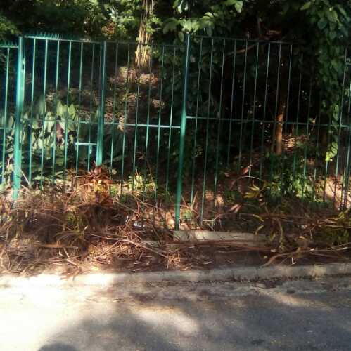
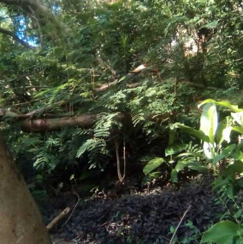
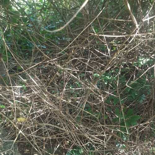
 Conservation Bad
 Risk Exposure High
 Sun Exposure Medium
 Hydration Point Available
 Climbing There is
 Minimum Altitude: 0m Maximum Altitude: 130m
 Negative Unevenness: 243m
 Positive Unevenness: 199m
Attractions that the trail offers
 Fauna
 Viewpoints
 Ruins
What to see on the trail
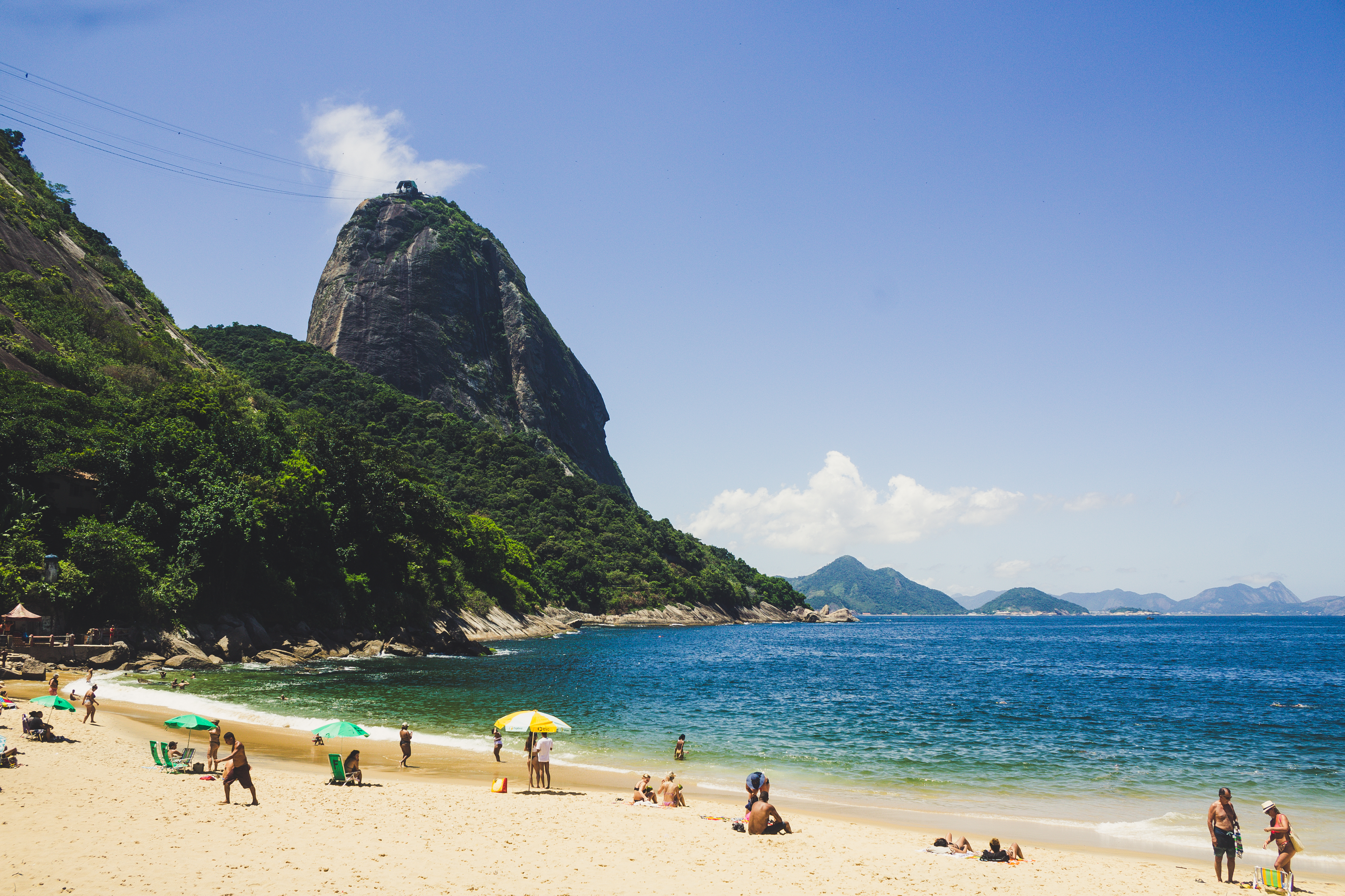
Trecho 24 - Portão da Chacrinha x Praia Vermelha (+ Circuito Babilônia) is a segment of the following Long-Distance Trail

The trail is located in the following Protected area


Tips
For safety reasons, we recommend that this section be done in the Circuit mode of Morro da Babilônia. CoopBabilônia: https://coopbabilonia.com.br/contato/
Warnings
Map
Guidelines
Extension: 3.3 KmDifficulty: ModerateOrientation: HardSignaling Level: NonExistentMinimum Altitude: 0m Maximum Altitude: 130m Negative Unevenness: 243m Positive Unevenness: 199m 


