Trilha da Cachoeira da Água Branca
Description
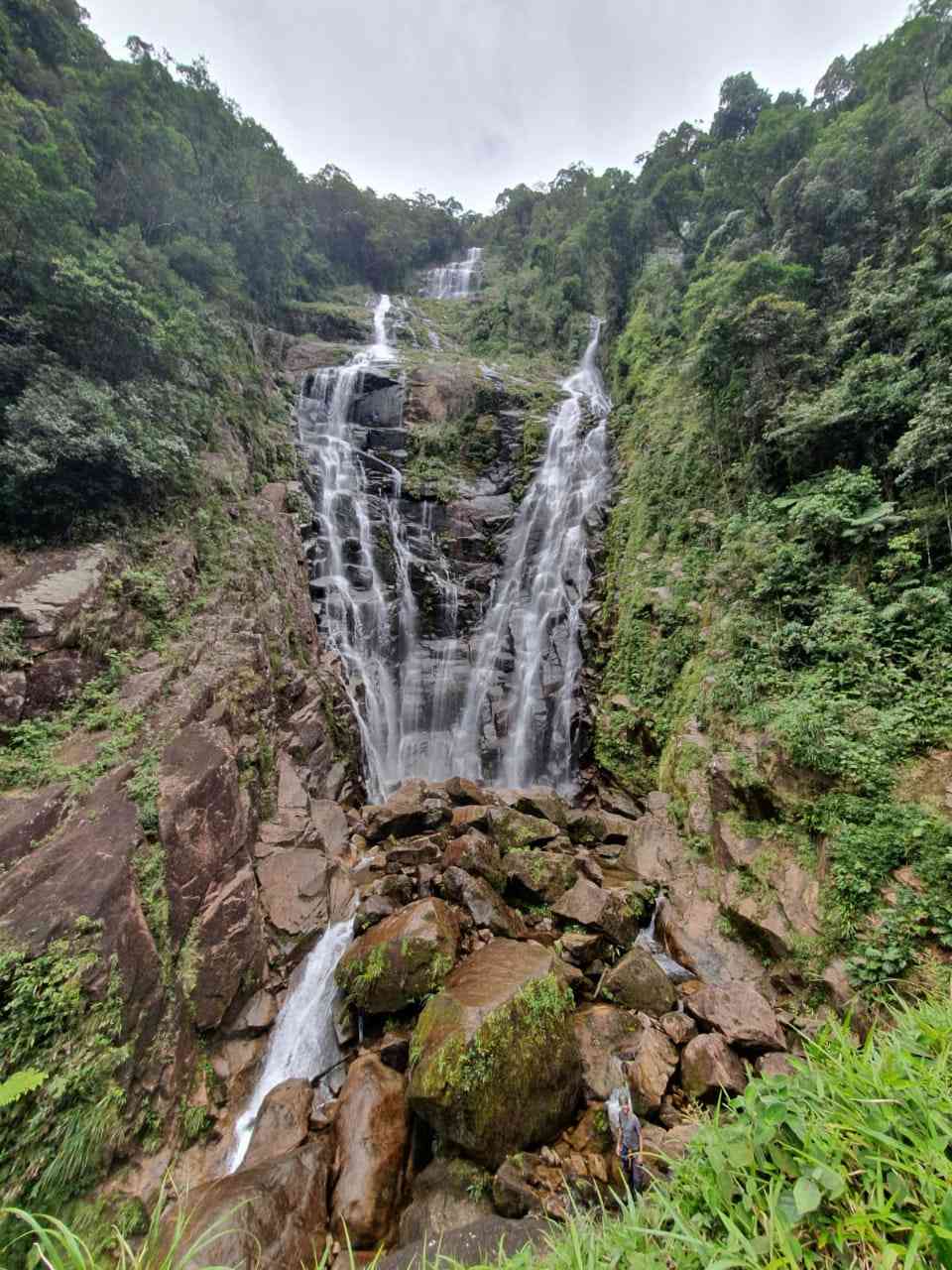
The trail that leads to the Água Branca Waterfall was an alternative crossing between the coast and the plateau, and therefore is marked by stories that date back centuries. Additionally, the Água Branca Waterfall has a drop of nearly 200m and is considered a heritage site for the local population, both from an environmental and historical-cultural perspective.
Activities

Activity Hiking
Time 6h 20m
Guidelines
 Extension: 10.16 Km
 Difficulty Moderate
 Orientation Hard
 Signaling Level NonExistent
 Conservation Excellent
 Risk Exposure High
 Sun Exposure Medium
 Hydration Point Available
 Climbing There is
 Minimum Altitude: 36m Maximum Altitude: 528m
 Negative Unevenness: 524m
 Positive Unevenness: 524m
Attractions that the trail offers
 Fauna
 River
The trail is located in the following protected area

Map
Guidelines
Extension: 10.16 KmDifficulty: ModerateOrientation: HardSignaling Level: NonExistentMinimum Altitude: 36m Maximum Altitude: 528m Negative Unevenness: 524m Positive Unevenness: 524m