Trilha da Minha Deusa
Description
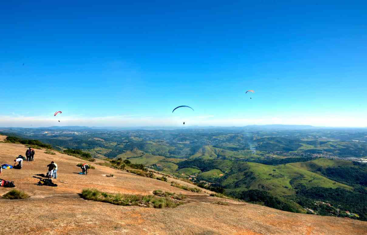
Its route allows visitors to contemplate the landscape of the region, crossing during the hike one of the many bodies of water present in the Itapetinga State Park, with water being one of the main attributes and conservation goals of the unit. It is also possible to observe the region's birdlife and characteristic flora species of the Atlantic Forest, as well as the landscape of the municipality of Atibaia, the Bragantina region, and at the upper part of the trail, the Mantiqueira region. The mountainous terrain is sought not only by visitors who enjoy trails with these characteristics but also for sports activities, such as mountain runners. Photo: Go Outside
Activities

Activity Hiking
Time 5h 0m
Guidelines
 Extension: 6.31 Km
 Difficulty Moderate
 Orientation Moderate
 Signaling Level Partial
 Conservation Good
 Risk Exposure Medium
 Sun Exposure Medium
 Hydration Point Available
 Climbing No climbing required
 Minimum Altitude: 870m Maximum Altitude: 1418m
 Negative Unevenness: 526m
 Positive Unevenness: 526m
Attractions that the trail offers
 Viewpoints
 Flora
 Fauna
The trail is located in the following protected area


Janaina Souza 13/07/2025
trilha de nível médio/intermediário.Bastante trechos de escalaminhada durante o percurso.Devido a frequência de visitas o caminho está bem definido,no entanto falta mais sinalização em alguns trechos no caminho.há 1 trecho de água no meio vindo de uma nascente. no topo ainda não há + estrutura p/
Map
Guidelines
Extension: 6.31 KmDifficulty: ModerateOrientation: ModerateSignaling Level: PartialMinimum Altitude: 870m Maximum Altitude: 1418m Negative Unevenness: 526m Positive Unevenness: 526m