Trilha da Noiva do Capitão
Description
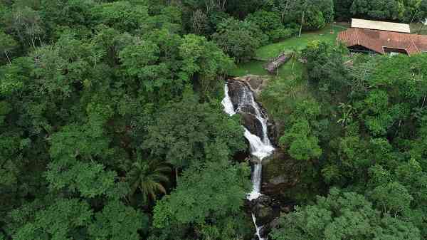
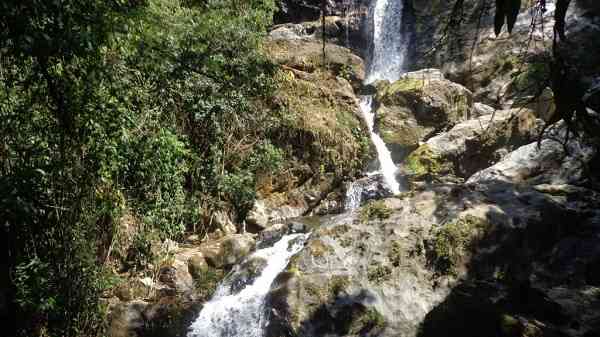
The trail is self-guided, has a length of 330 meters, and provides access to the 3 viewpoints of the waterfall. It is located between the entrance portal of the nucleus and the Visitor Support Center (CAV).
Activities

Activity Hiking
Time 0h 25m
Guidelines
 Extension: 0.88 Km
 Difficulty Easy
 Orientation Easy
 Signaling Level Partial
 Conservation Good
 Risk Exposure Low
 Sun Exposure Low
 Hydration Point Unavailable
 Climbing No climbing required
 Minimum Altitude: 249m Maximum Altitude: 293m
 Negative Unevenness: 23m
 Positive Unevenness: 23m
Attractions that the trail offers
 Fauna
 Viewpoints
The trail is located in the following protected area

Map
Guidelines
Extension: 0.88 KmDifficulty: EasyOrientation: EasySignaling Level: PartialMinimum Altitude: 249m Maximum Altitude: 293m Negative Unevenness: 23m Positive Unevenness: 23m