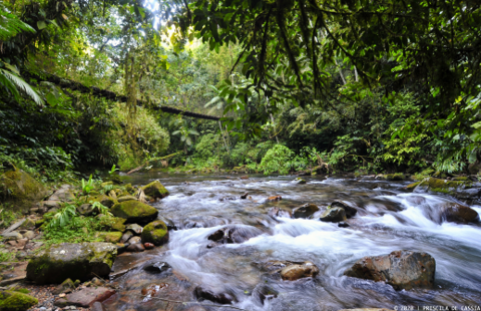
Trilha do Betari
Description
The entire route takes place through the Betari River Valley, nestled in the terrain with mountains on both sides, where it is possible to observe the significant elevation change in the region.
Activities

Activity Hiking
Time 5h 0m
Guidelines
 Extension: 6.4 Km
 Difficulty Moderate
 Orientation Moderate
 Signaling Level Partial
 Conservation Good
 Risk Exposure Medium
 Sun Exposure Medium
 Hydration Point Unavailable
 Climbing No climbing required
 Minimum Altitude: 251m Maximum Altitude: 275m
 Negative Unevenness: 0m
 Positive Unevenness: 0m
Attractions that the trail offers
 River
The trail is located in the following protected area

Map
Guidelines
Extension: 6.4 KmDifficulty: ModerateOrientation: ModerateSignaling Level: PartialMinimum Altitude: 251m Maximum Altitude: 275m Negative Unevenness: 0m Positive Unevenness: 0m