Trilha do Espigão
Description
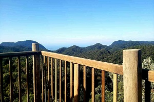
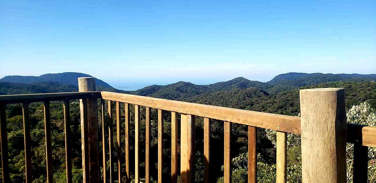
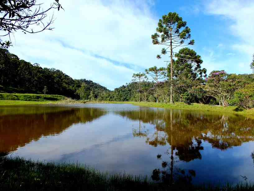
A portion of the trail's length was an old path used for the extraction and transportation of wood and charcoal when the Core area consisted of lands from old farms. It allows for interaction with biodiversity, skirting along a section of the Bonito River with its rapids, waterfalls, and natural pools, ultimately crossing a ridge with highlighted landscaping.
Activities

Activity Hiking
Time 4h 5m
Guidelines
 Extension: 6.49 Km
 Difficulty Moderate
 Orientation Moderate
 Signaling Level Partial
 Conservation Excellent
 Risk Exposure Medium
 Sun Exposure Low
 Hydration Point Unavailable
 Climbing No climbing required
 Minimum Altitude: 1047m Maximum Altitude: 1226m
 Negative Unevenness: 247m
 Positive Unevenness: 247m
Attractions that the trail offers
 Fauna
 Viewpoints
The trail is located in the following protected area
Map
Guidelines
Extension: 6.49 KmDifficulty: ModerateOrientation: ModerateSignaling Level: PartialMinimum Altitude: 1047m Maximum Altitude: 1226m Negative Unevenness: 247m Positive Unevenness: 247m