Trilha do Mirante da Serra
Description
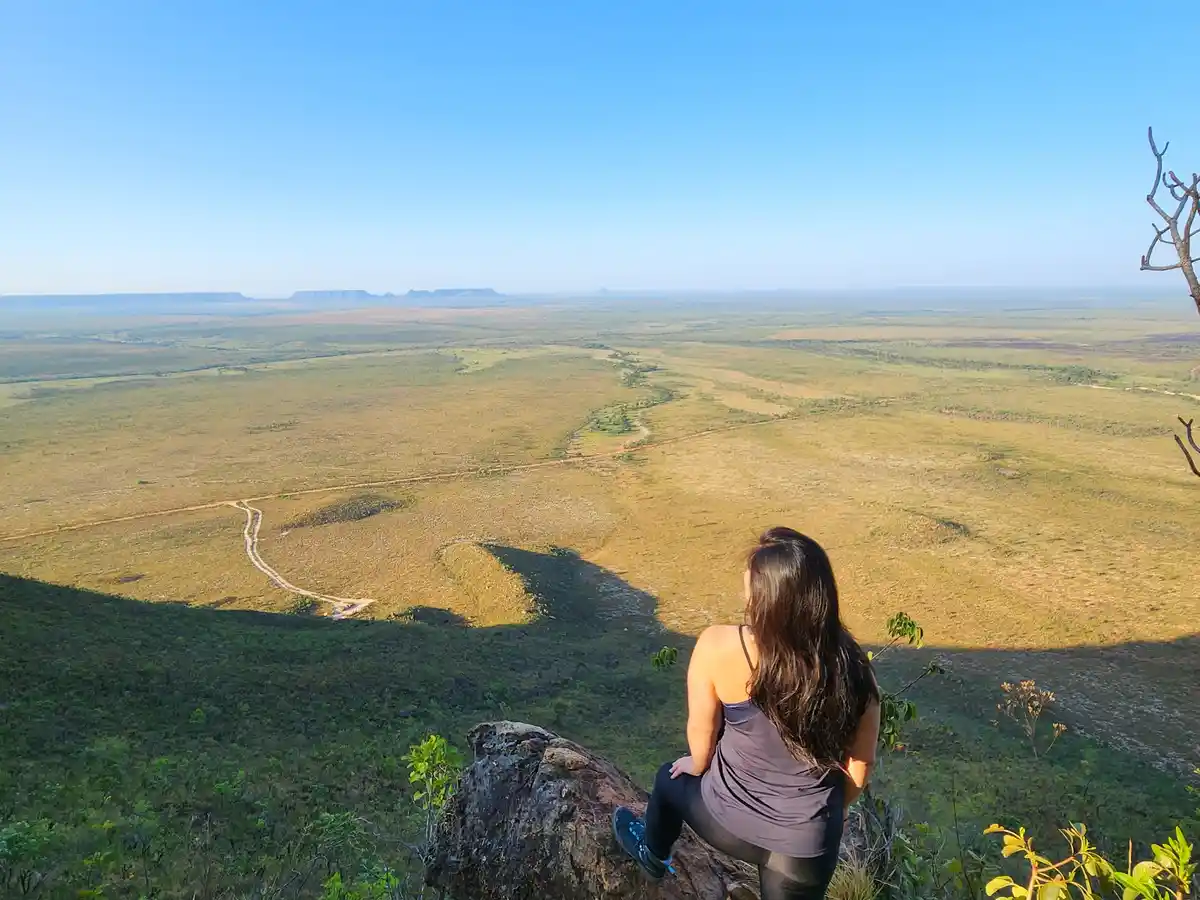
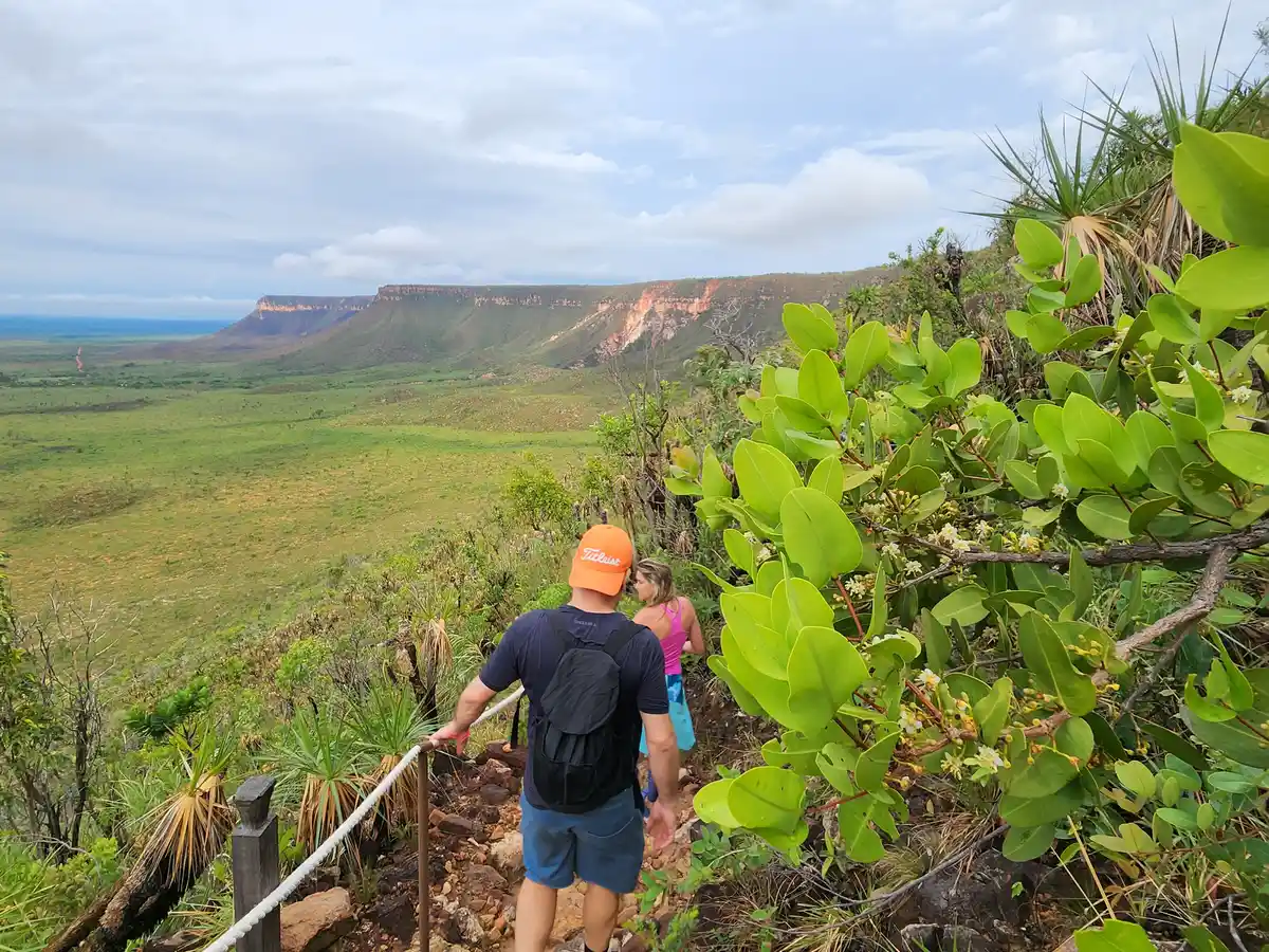
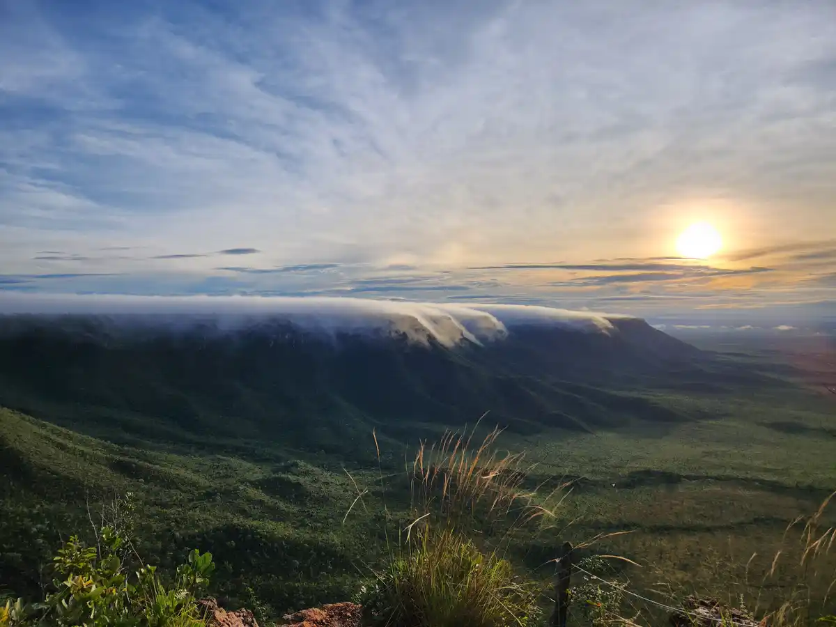
The trail to the Serra do Espírito Santo lookout in Jalapão is a must-do experience for nature lovers visiting the region. In addition to providing direct contact with the lush landscape of the cerrado, the trail offers some challenges and rewards that leave a lasting memory for any traveler. Prepare well, follow the recommendations, and enjoy every moment of this unique journey. The Serra do Espírito Santo is characterized by a long sandstone plateau that ends in an unmistakable pyramidal formation, a true postcard of Jalapão. Located next to the Jalapão Dunes, the mountain is crucial to their formation, resulting from the erosive processes of the rock due to the constant actions of winds and rains. This phenomenon makes the landscape unique.
Activities

Guidelines
 Extension: 1.58 Km
 Difficulty Moderate
 Orientation Easy
 Signaling Level NonExistent
 Conservation Good
 Risk Exposure Low
 Sun Exposure Low
 Hydration Point Unavailable
 Climbing No climbing required
 Minimum Altitude: 514m Maximum Altitude: 762m
 Negative Unevenness: 210m
 Positive Unevenness: 210m
Video
Attractions that the trail offers
 Viewpoints
What to see on the trail
The trail is located in the following protected area

Tips
-The best time to climb the mountain is before dawn, so you reach the summit before the first rays of sunlight; -A headlamp is essential, so you can keep your hands free in case you need support; -Wear light clothing: a windbreaker for the top of the mountain, which is completely exposed to wind gusts, and keep in mind that the descent will be under the intense heat of the day; -Bring a bottle of water (at least 2 L) to avoid dehydration, since the first section is all uphill; -Consider bringing fruit or a quick snack for breakfast; -Trekking poles are usually a great ally, helping you keep your balance on the rock blocks along the way. -Visiting time at the site is until 9 a.m. in the morning shift (in the afternoon, from 2 to 4 p.m.).
Map
Guidelines
Extension: 1.58 KmDifficulty: ModerateOrientation: EasySignaling Level: NonExistentMinimum Altitude: 514m Maximum Altitude: 762m Negative Unevenness: 210m Positive Unevenness: 210m