Trilha do Morro Dois Irmãos
Description
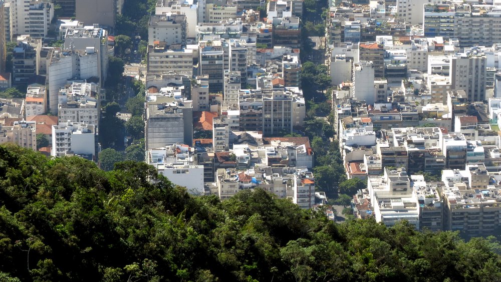
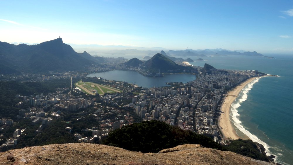
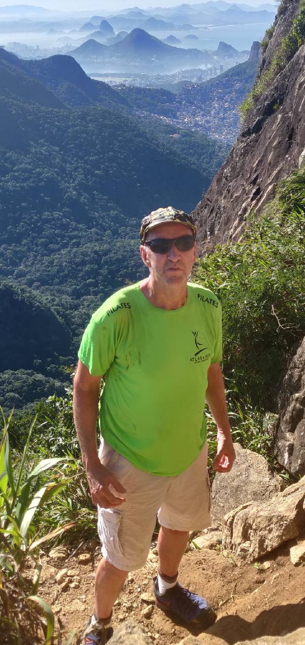
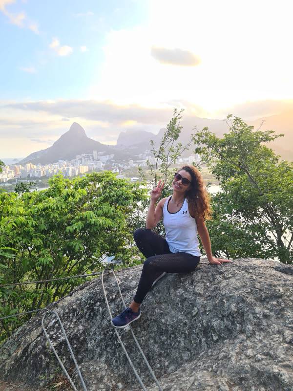
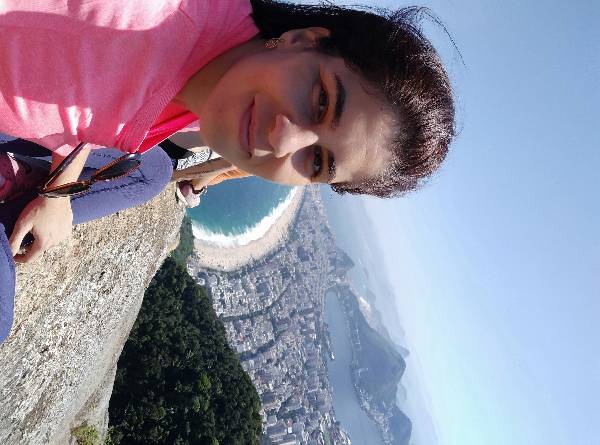
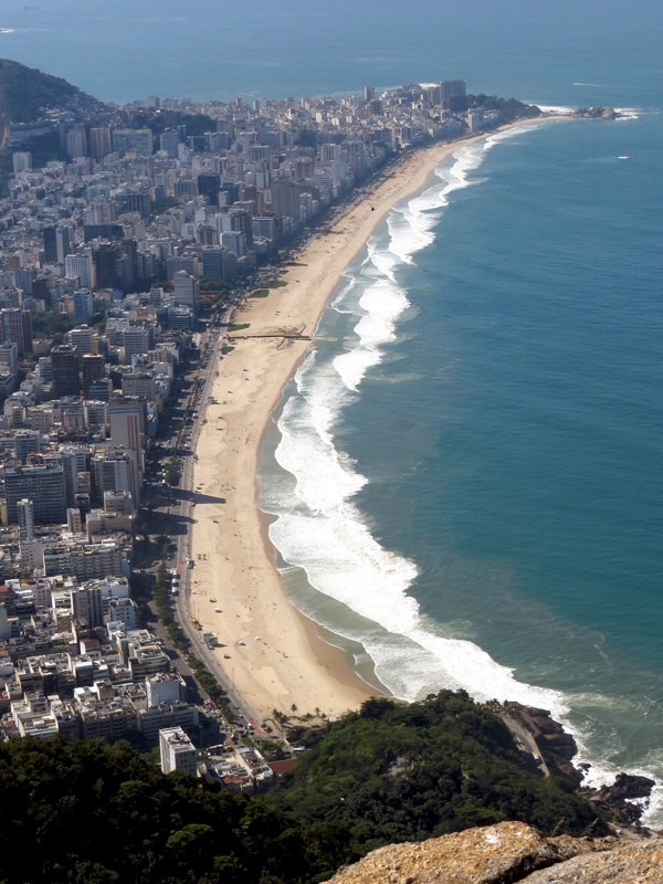
Seen from the beach, Morro Dois Irmãos is one of the postcards of Rio de Janeiro. The view from the top, after a trail that starts from Vidigal, offers an unmissable photograph of the city's beauty. From the first viewpoint, Rocinha, the largest favela in Latin America, can be seen from above, along with a great view of Pedra da Gávea. From the second viewpoint, the Serra da Carioca, Gávea, Corcovado, and Pedra Bonita make up the landscape. From the summit of Irmão Maior, the most privileged view: all of the South Zone, from Botafogo to Leblon, as well as Niterói, the Serra da Carioca, and the Cagarras Islands. The route begins in the Vidigal community. A tip: to reach the soccer field of the Vila Olímpica, where the trail starts, consider taking a moto-taxi, navigating the zigzag of the local alleys. The path to Dois Irmãos offers a good cost-benefit ratio between effort and beauty. Heading towards the summit at 539m high, there are gentle ascents, trails in reforested areas, clayey terrain, and a section with dense bush. It is recommended to wear pants and a jacket, but bring a bikini or swim shorts for a rewarding dip in the beach after descending the trail.
Activities

Guidelines
 Extension: 1.5 Km
 Difficulty Easy
 Orientation Easy
 Signaling Level Complete
 Conservation Excellent
 Risk Exposure Low
 Sun Exposure Low
 Hydration Point Unavailable
 Climbing There is
 Minimum Altitude: 22m Maximum Altitude: 539m
 Negative Unevenness: 379m
 Positive Unevenness: 165m
Video
Attractions that the trail offers
 Viewpoints

Warnings
Map
Guidelines
Extension: 1.5 KmDifficulty: EasyOrientation: EasySignaling Level: CompleteMinimum Altitude: 22m Maximum Altitude: 539m Negative Unevenness: 379m Positive Unevenness: 165m