Trilha Vera Cruz
Description
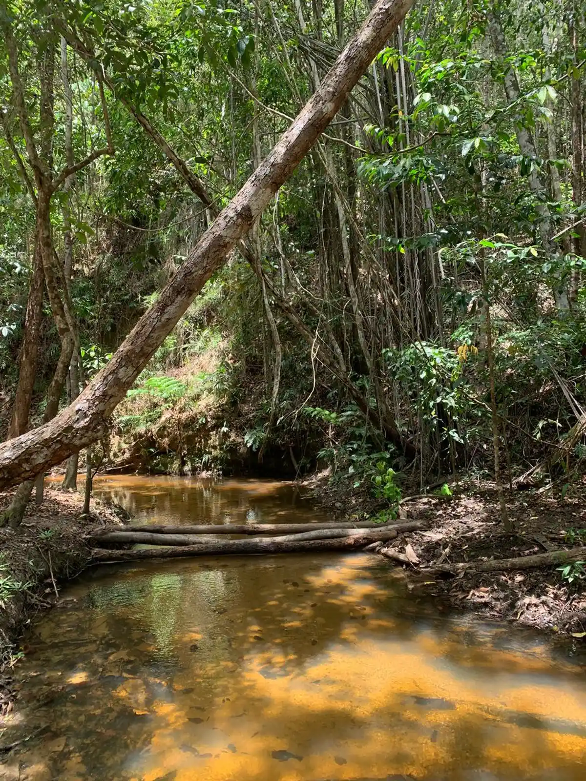
The Vera Cruz Trail honors the first name given to Brazil by the Portuguese, Terra de Vera Cruz, and also the largest community surrounding the park, the district of Vera Cruz. Well-known among the local residents, this trail was historically used as a communication route between communities, carrying with it memories of meetings, movements, and local stories. Along the route, visitors follow the path of water and the constantly renewing forest, where the landscape reveals the natural dynamics of the territory. The trail crosses the Rio do Brasil, now called the Rio da Barra, recorded on the Planisfério de Cantino, one of the oldest nautical charts in the world. Whether walking or biking, visitors are invited to recognize themselves as part of this environment, understanding that the preservation of the landscape, memory, and biodiversity depends on the care and respect of all.
Activities


Guidelines
 Extension: 4.21 Km
 Difficulty Moderate
 Orientation Easy
 Signaling Level Partial
 Conservation Excellent
 Risk Exposure Medium
 Sun Exposure Low
 Hydration Point Unavailable
 Climbing No climbing required
 Minimum Altitude: 32m Maximum Altitude: 106m
 Negative Unevenness: 67m
 Positive Unevenness: 83m
Attractions that the trail offers
 Avifauna
 Fauna
 Flora
 River
What to see on the trail
Trilha Vera Cruz is a segment of the following Long-Distance Trail
The trail is located in the following protected area

Tips
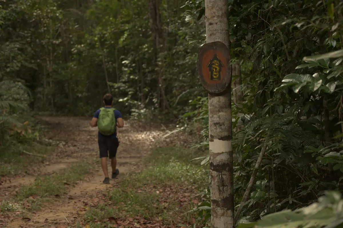
The trail is used for both hiking and cycling, and it is recommended to wear appropriate footwear, pay attention to signage, and respect marked areas, contributing to safety and environmental conservation.
Map
Guidelines
Extension: 4.21 KmDifficulty: ModerateOrientation: EasySignaling Level: PartialMinimum Altitude: 32m Maximum Altitude: 106m Negative Unevenness: 67m Positive Unevenness: 83m 


