West Coast Trail
Description
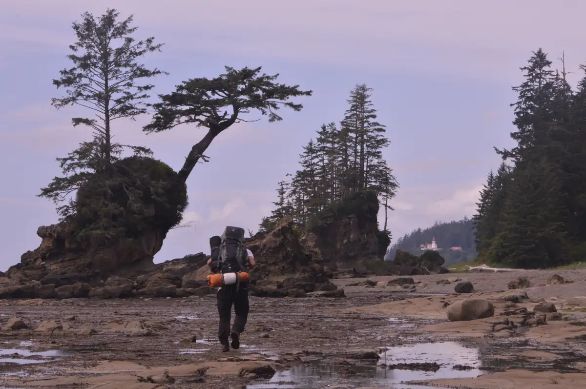
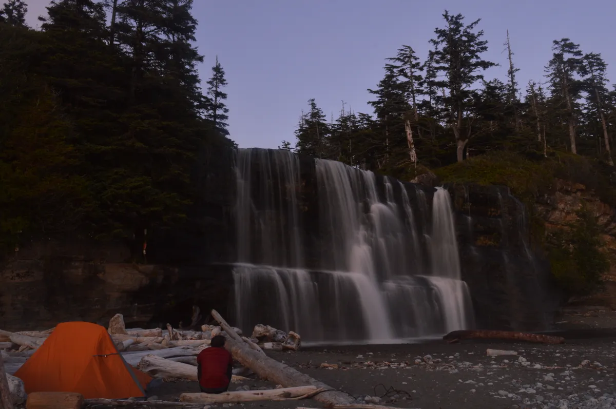
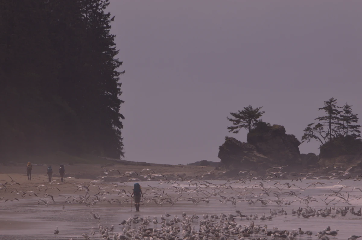
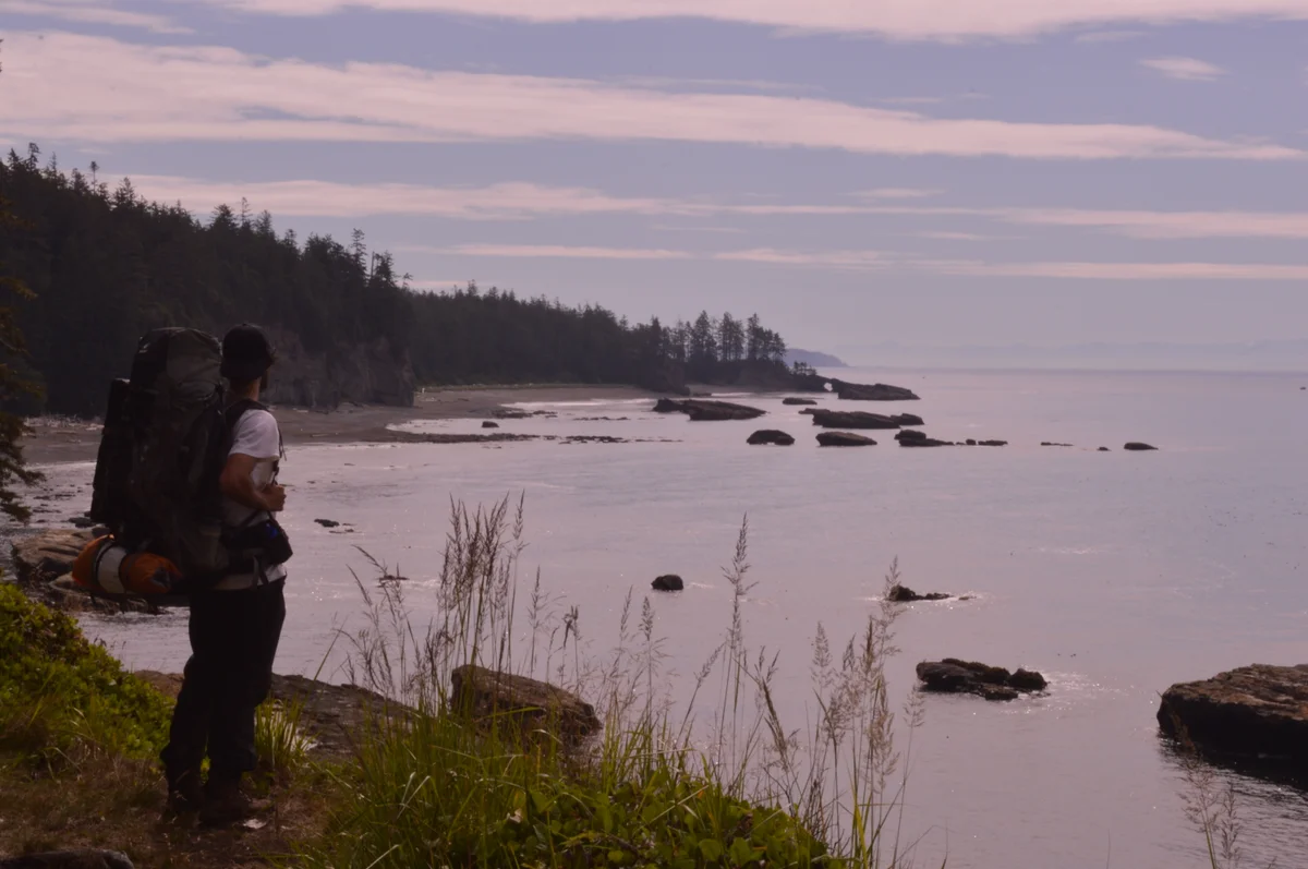
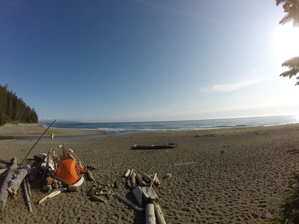
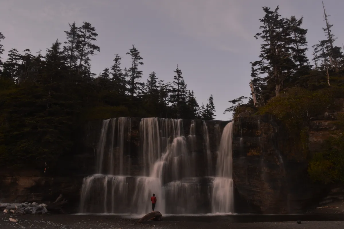
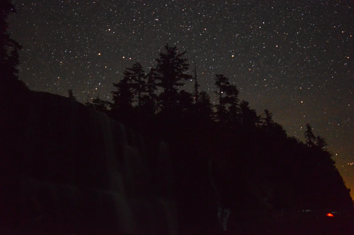
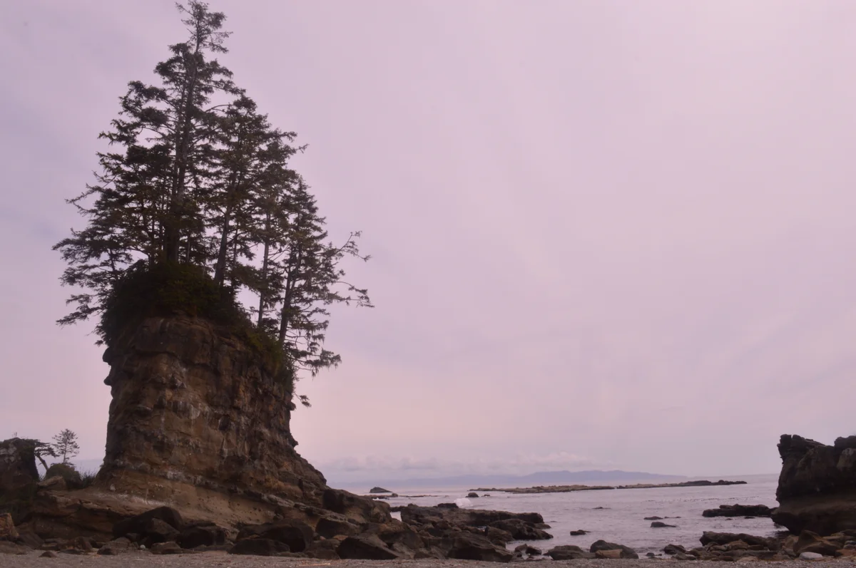
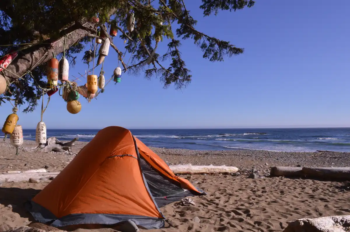
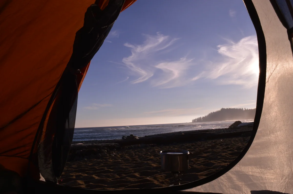
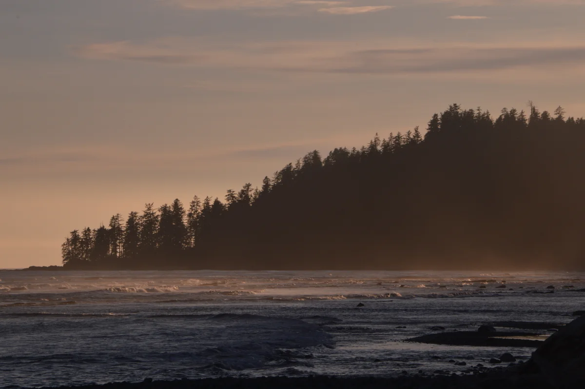
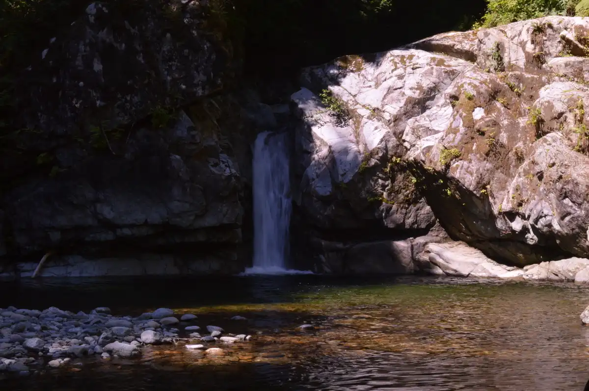
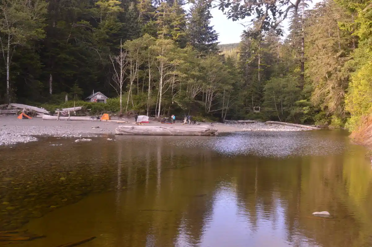
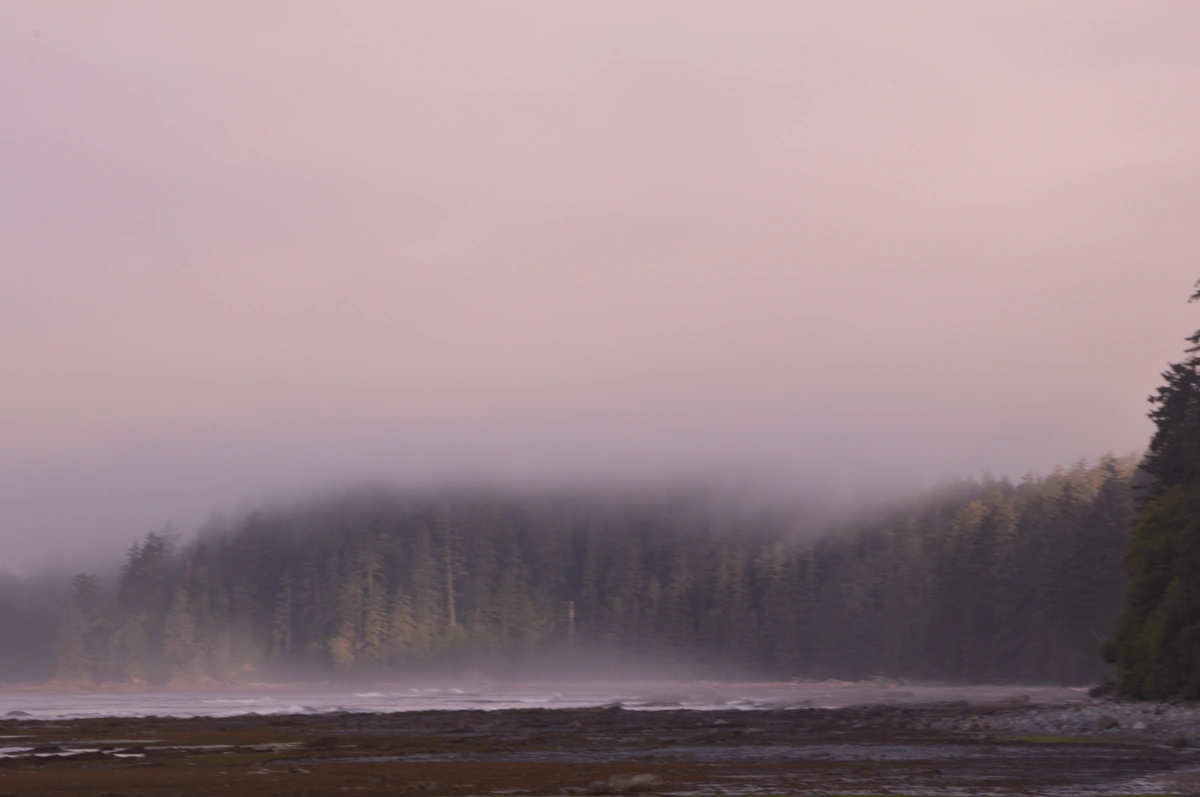
The West Coast Trail is one of the most famous long-distance trails in the world and a major attraction of the Pacific Rim National Park Reserve. Spanning approximately 75 km, the trail runs along the southwest coast of Vancouver Island, traversing one of the most preserved ecosystems on the Canadian Pacific coast. The route combines extensive and isolated beaches, humid temperate rainforests, rocky shorelines, rivers, waterfalls, cliffs, and coves, providing a great diversity of landscapes throughout the hike. Originally known as the Dominion Lifesaving Trail, the route was built in the early 20th century to allow for the rescue of survivors from the frequent shipwrecks that occurred in the area, known as the "Cemetery of the Pacific." Today, various remnants of this history remain preserved, including old lighthouses, rescue cables, historical structures, and shipwreck sites, giving the crossing significant historical and cultural value as well. In addition to its scenic richness, the trail is recognized for its high biodiversity. Along the way, it is common to observe forests made up of century-old trees, giant ferns, mosses, and lichens, as well as a diverse fauna that includes eagles, otters, seals, sea lions, whales during certain times of the year, and occasionally, bears and cougars. The West Coast Trail is considered a demanding crossing, recommended for experienced hikers in good physical condition. Most visitors complete the route in five to seven days, camping overnight in designated camping areas along the trail. These areas have basic infrastructure, such as restrooms, bear-resistant food storage boxes, and water collection points. Access is controlled by a reservation system, and the daily number of visitors is limited to ensure environmental conservation and user safety.
Activities

Guidelines
 Extension: 75 Km
 Access status: Open
 Difficulty Hard
 Orientation Moderate
 Signaling Level Partial
 Conservation Excellent
 Risk Exposure High
 Sun Exposure High
 Hydration Point Available
 Climbing There is
 Minimum Altitude: 0m Maximum Altitude: 204m
 Negative Unevenness: 1224m
 Positive Unevenness: 1200m
Attractions that the trail offers
 Beach
 Waterfall
 Fauna
 Flora
 Rock Formations
 Viewpoints
 River
 Avifauna
 Bathing Area
Tips
Necessary information for trail planning can be found on the website https://parks.canada.ca/pn-np/bc/pacificrim/activ/sco-wct
Map
Guidelines
Extension: 75 KmDifficulty: HardOrientation: ModerateSignaling Level: PartialMinimum Altitude: 0m Maximum Altitude: 204m Negative Unevenness: 1224m Positive Unevenness: 1200m