Caminhos das Ararunas
Description
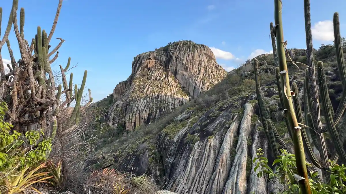
Photo: Collection of the Paths of the Ararunas trail The Paths of the Ararunas is a long-distance trail (LDT) with a length of 110 km within the Caatinga biome. Located in the mountainous region of Paraíba, its route passes through the cities of Araruna, Riachão de Araruna, Cuité, and Dona Inês, with 5 Conservation Units offering various types of landscapes along its course. It was initially constructed around 2017 through expeditions among friends and is now part of the Brazilian Trail Network as its first LDT from the northeast registered in the network. The trail traverses well-preserved forests, mountains, valleys, canyons, and passes through villages and settlements with significant historical and cultural value.
Activities

Activity Hiking
Time 48h 0m
Guidelines
 Extension: 130 Km
 Difficulty Moderate
 Orientation Moderate
 Signaling Level Partial
 Conservation Good
 Risk Exposure Medium
 Sun Exposure Medium
 Hydration Point Unavailable
 Climbing No climbing required
 Minimum Altitude: 186m Maximum Altitude: 578m
 Negative Unevenness: 2728m
 Positive Unevenness: 2572m
What the trail offers
 Historic Building
 Fauna
 Viewpoints
 Museum
 Ruins
 Archaeological Site
What to see on the trail
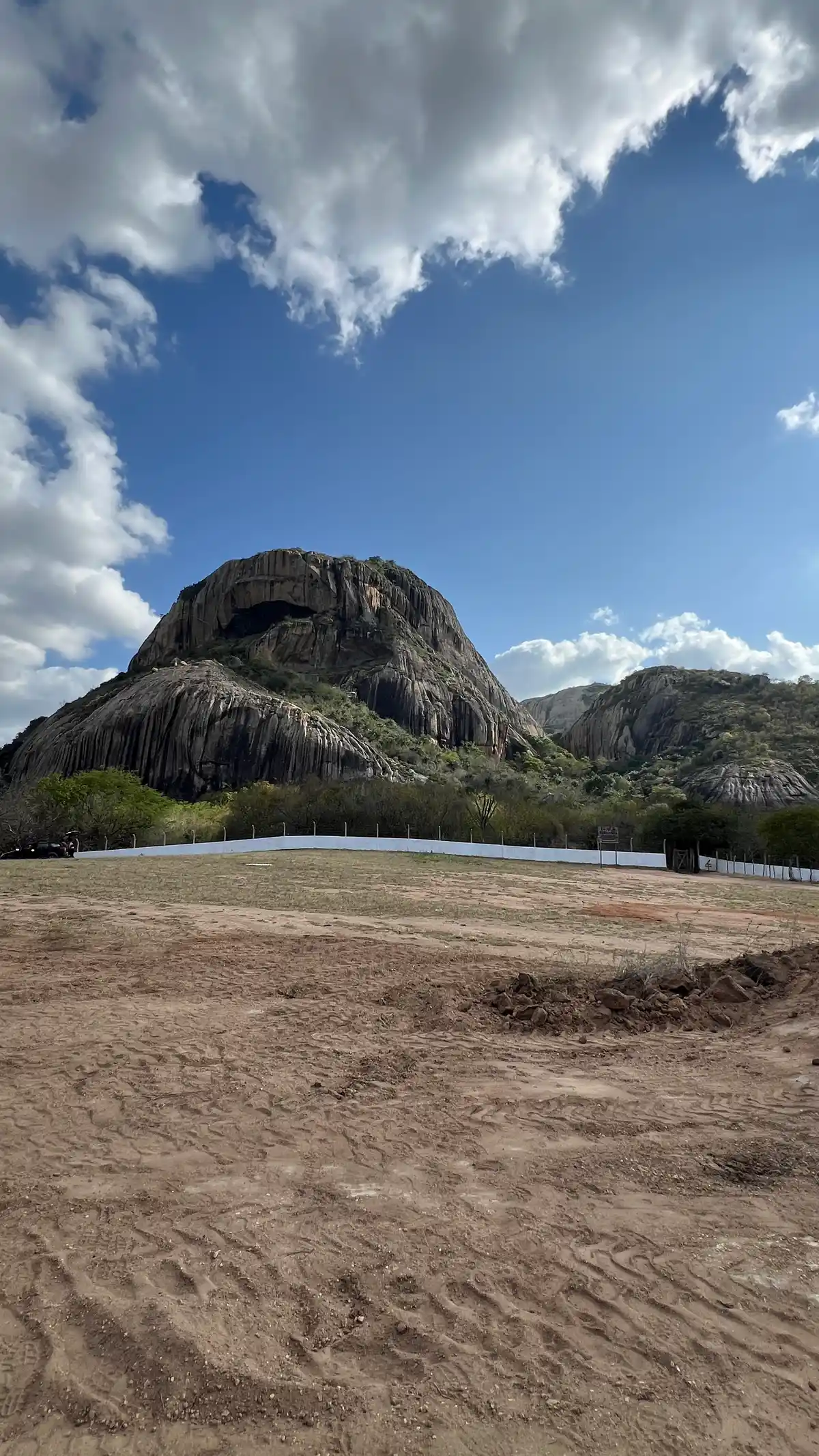
Discover the segments of Caminhos das Ararunas



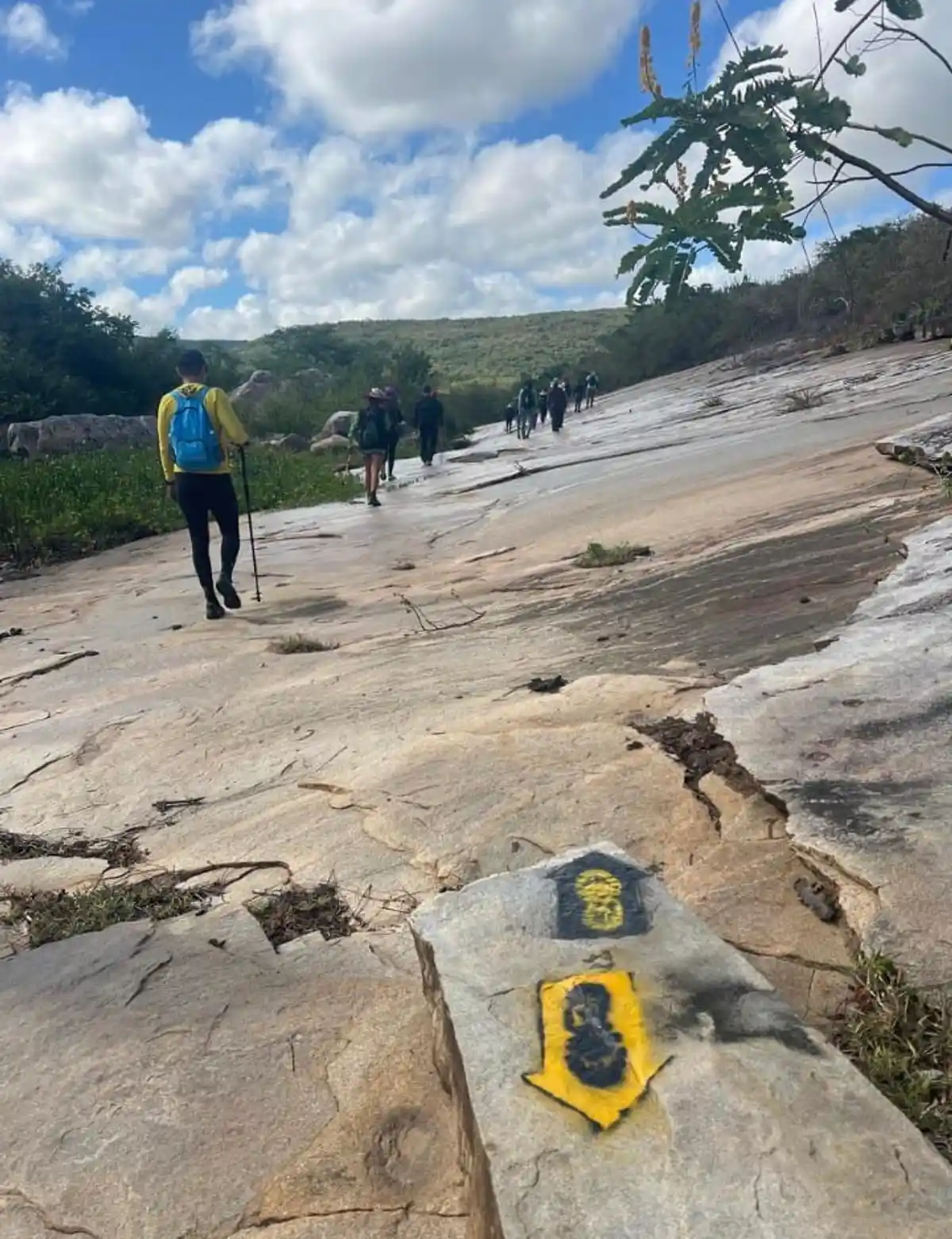



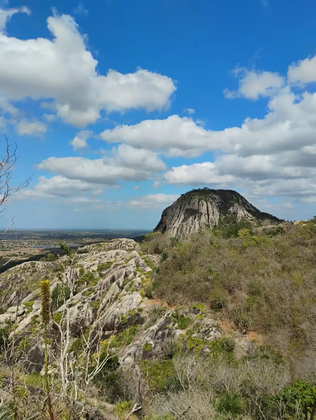
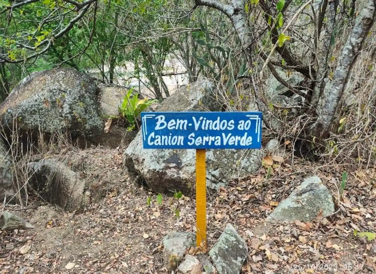

Protected Areas where the Trail passes through
Map
Guidelines
Extension: 130 KmDifficulty: ModerateOrientation: ModerateSignaling Level: PartialMinimum Altitude: 186m Maximum Altitude: 578m Negative Unevenness: 2728m Positive Unevenness: 2572m 


