Igreja Santo Antônio à Comunidade Umburana (Trecho 1)
Description
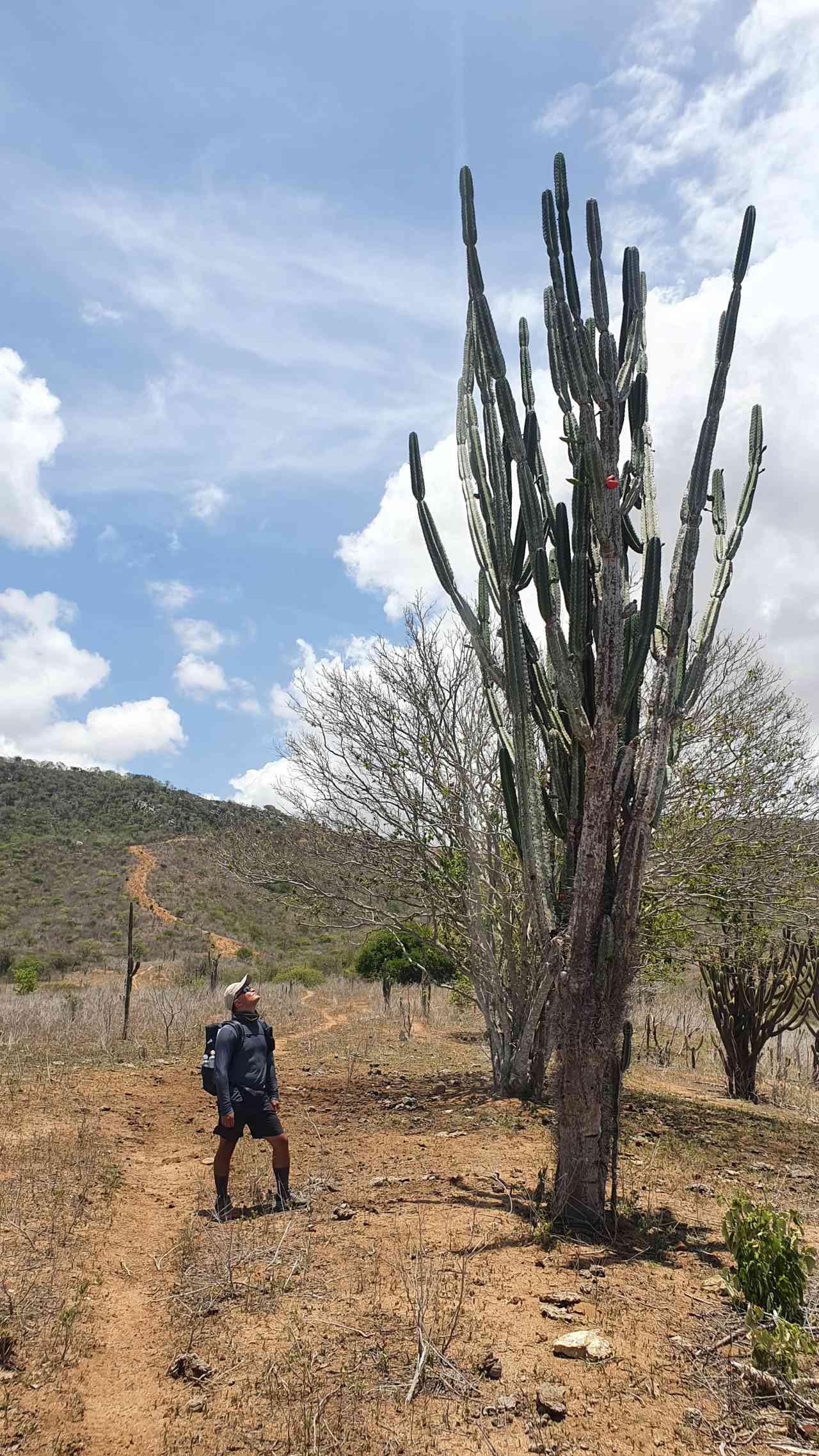
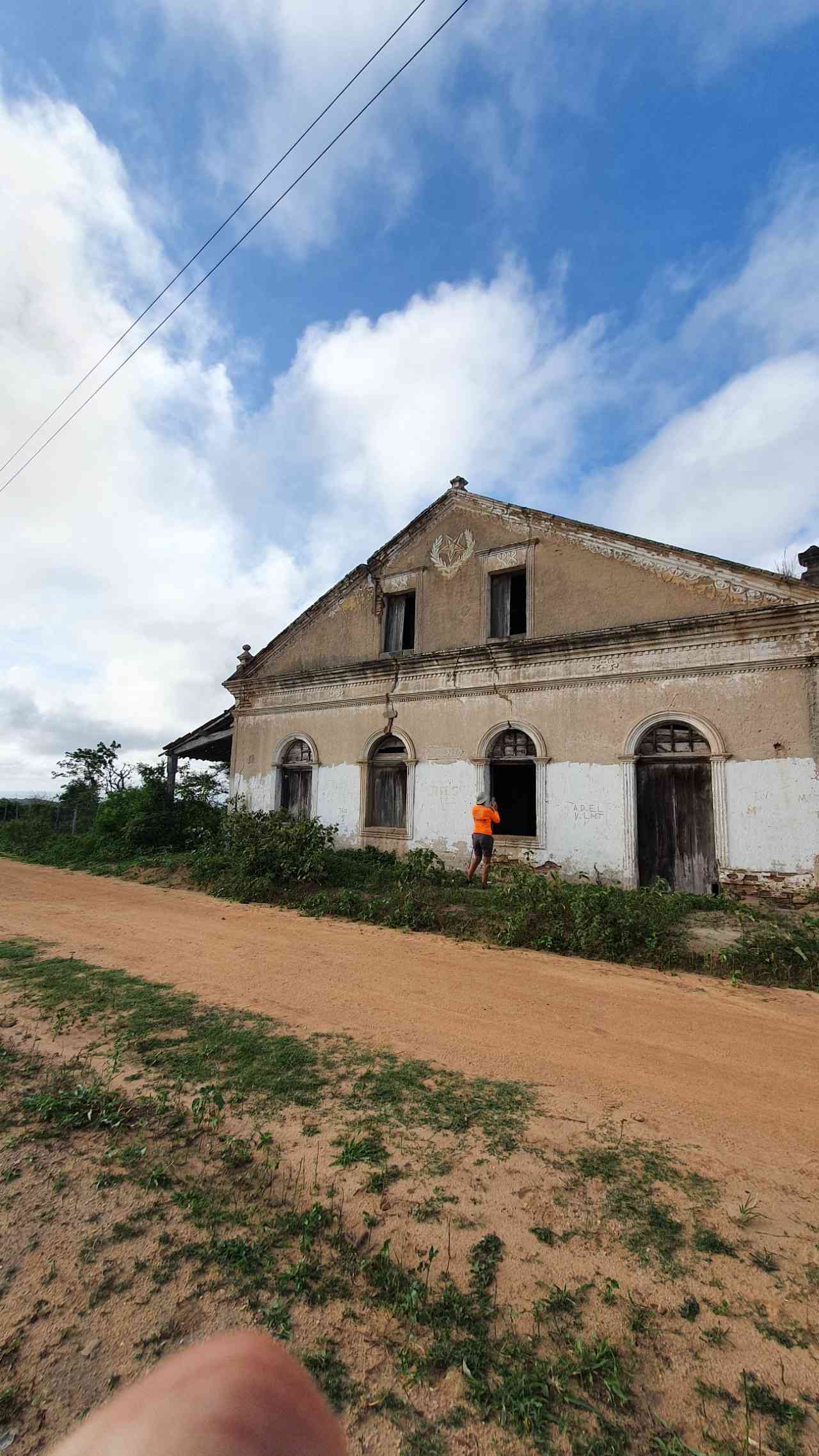
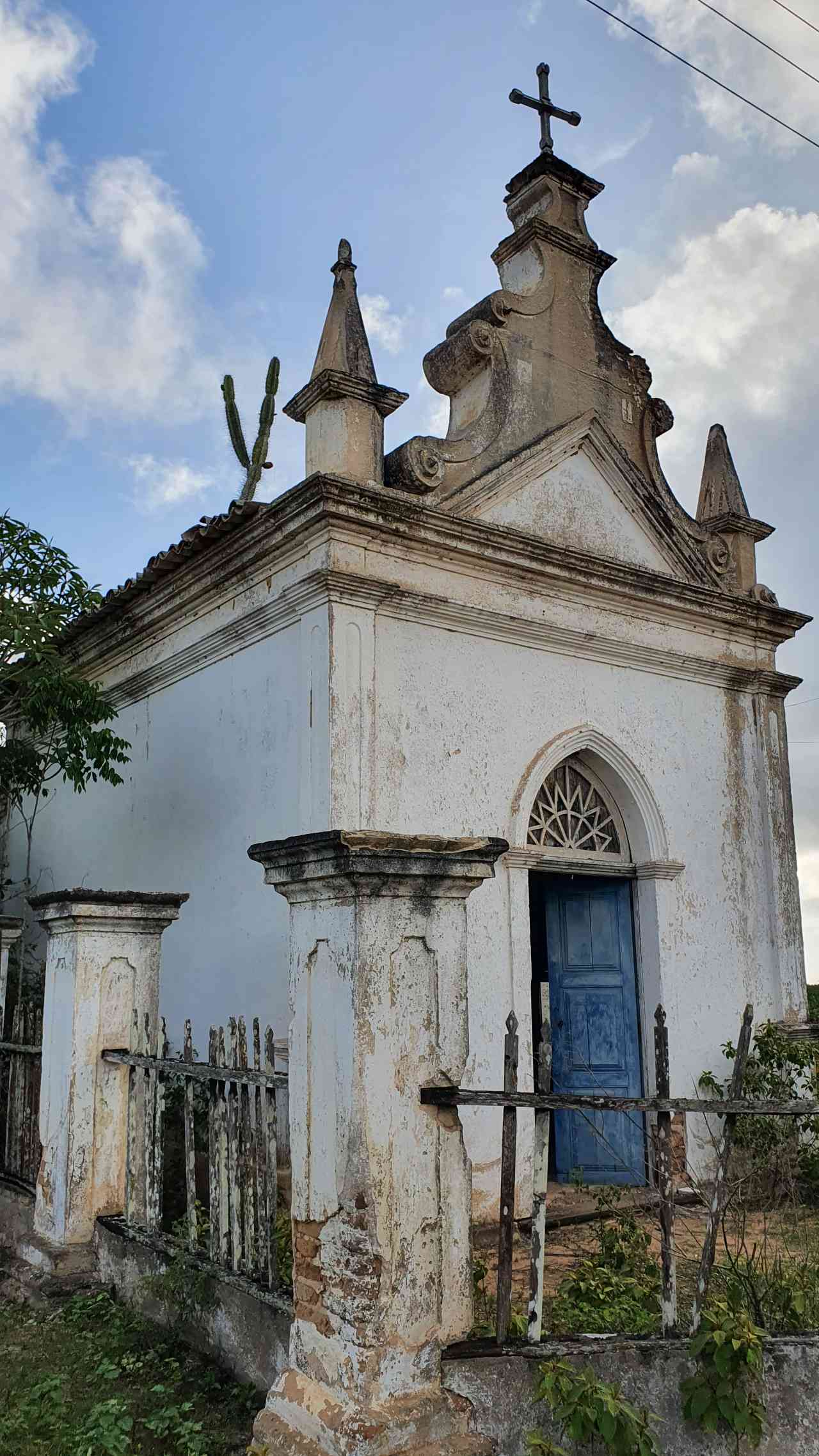
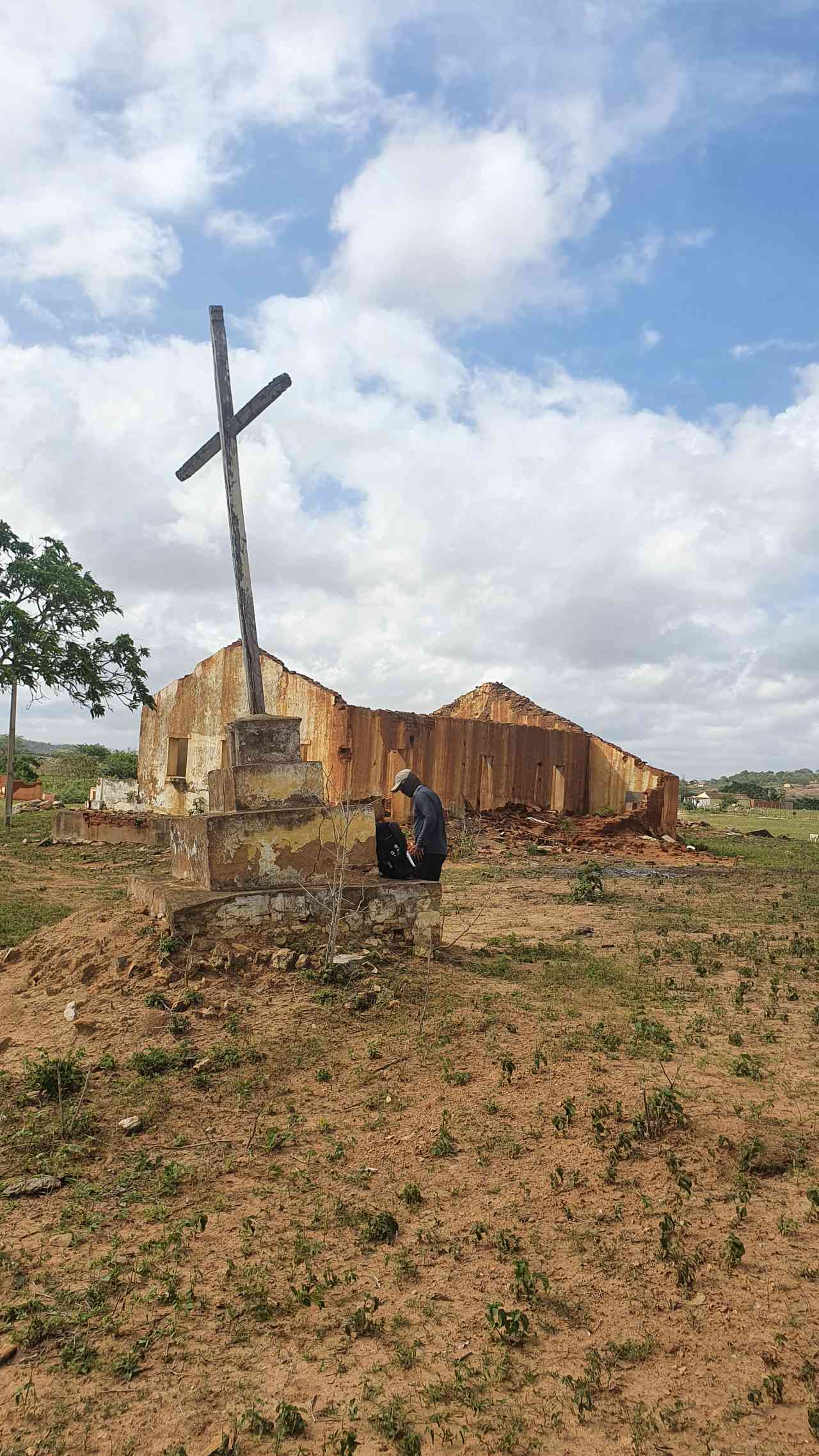
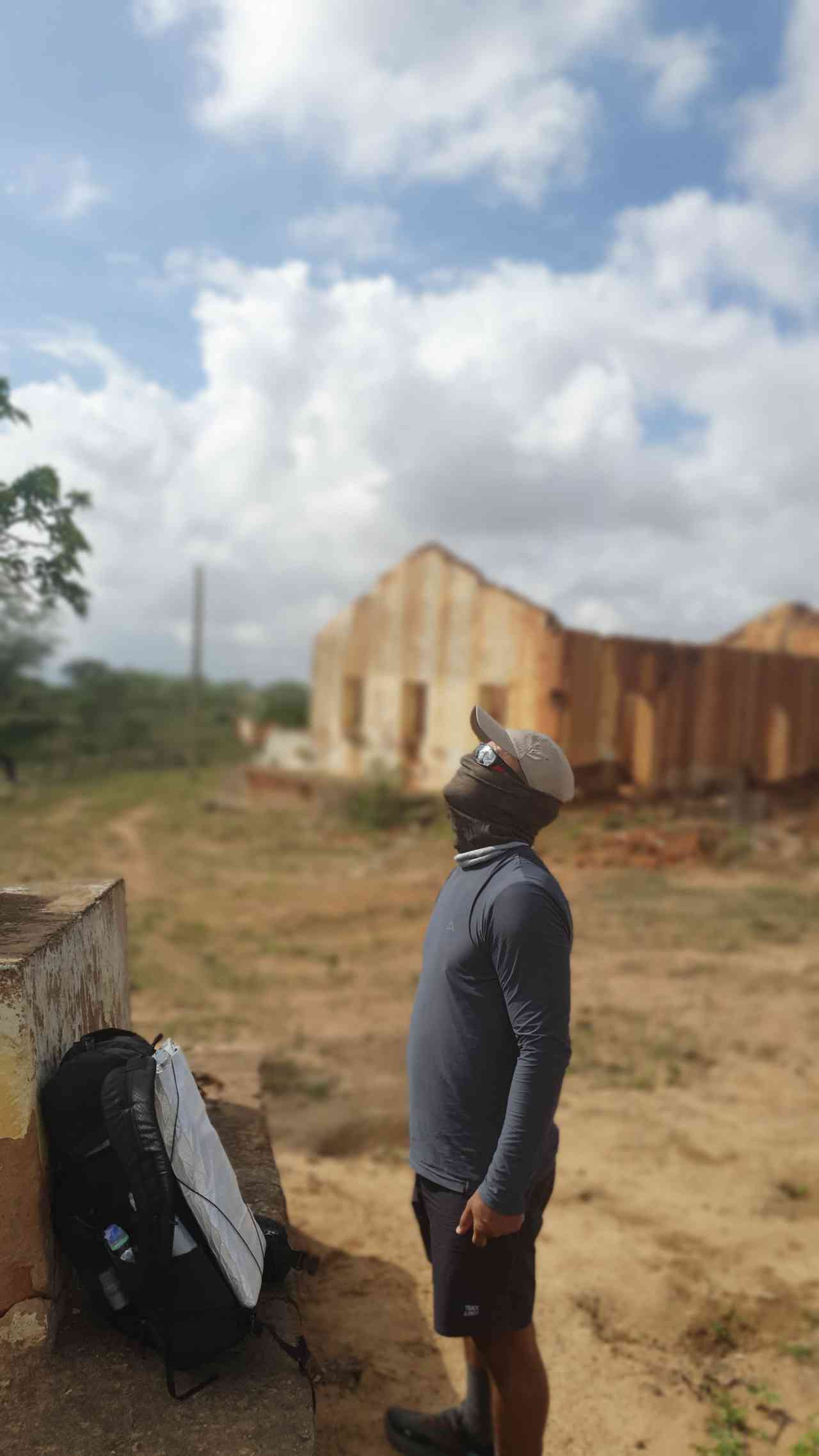
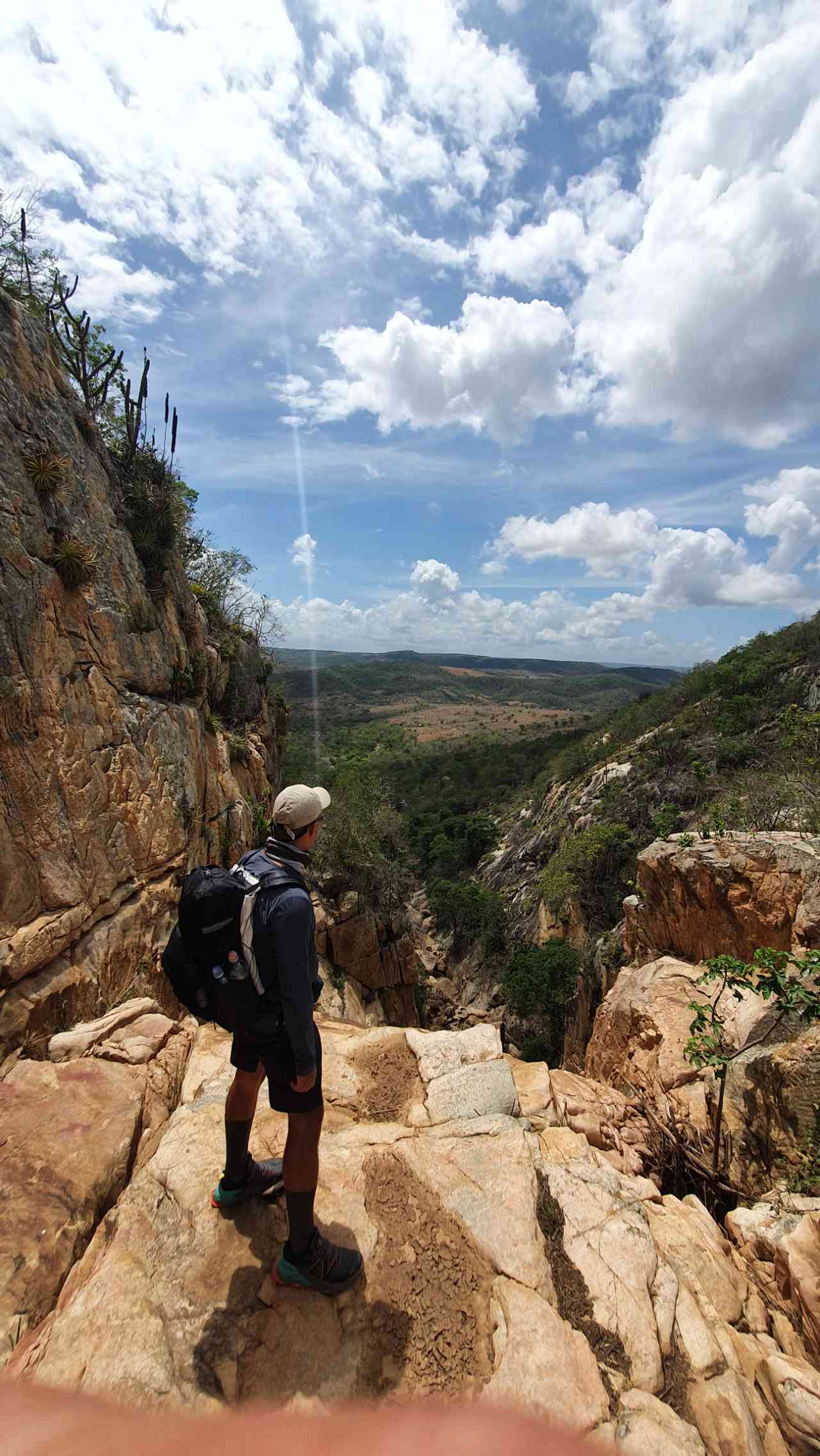
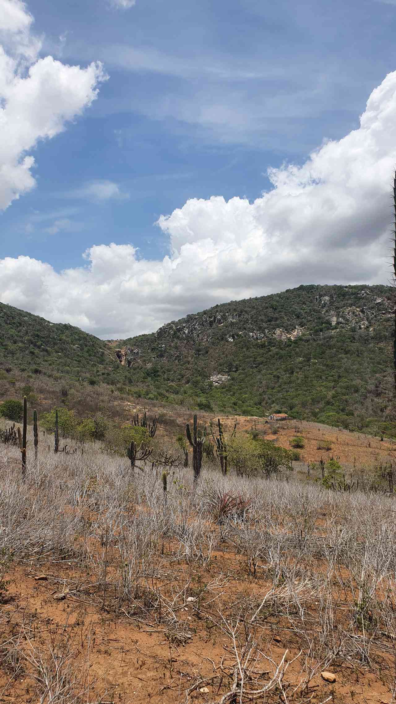
The first section begins with a transition between urban area and the caatinga biome. After walking a few kilometers within the city, the landscape soon begins to change. Houses and buildings become less frequent, making way for the mountains and vegetation of the Caatinga. The first attraction of the trail, Fazenda Maquiné, is an old slave farm in ruins, featuring an old mansion and a chapel. In the Macapá community, one can see the Macapá cross, another symbol of the strong presence of religion in the region. The Macapá Canyon, the first natural attraction of the day, is formed by the Salgadinho River, which can have water during the rainy season. At Casa da Colina, it is possible to enjoy a beautiful view of both the sunrise and sunset. Finally, the trail passes through the rural communities of Umburana de Baixo and Umburana, the support point for the first day.
Activities

Guidelines
 Extension: 17.72 Km
 Difficulty Moderate
 Orientation Moderate
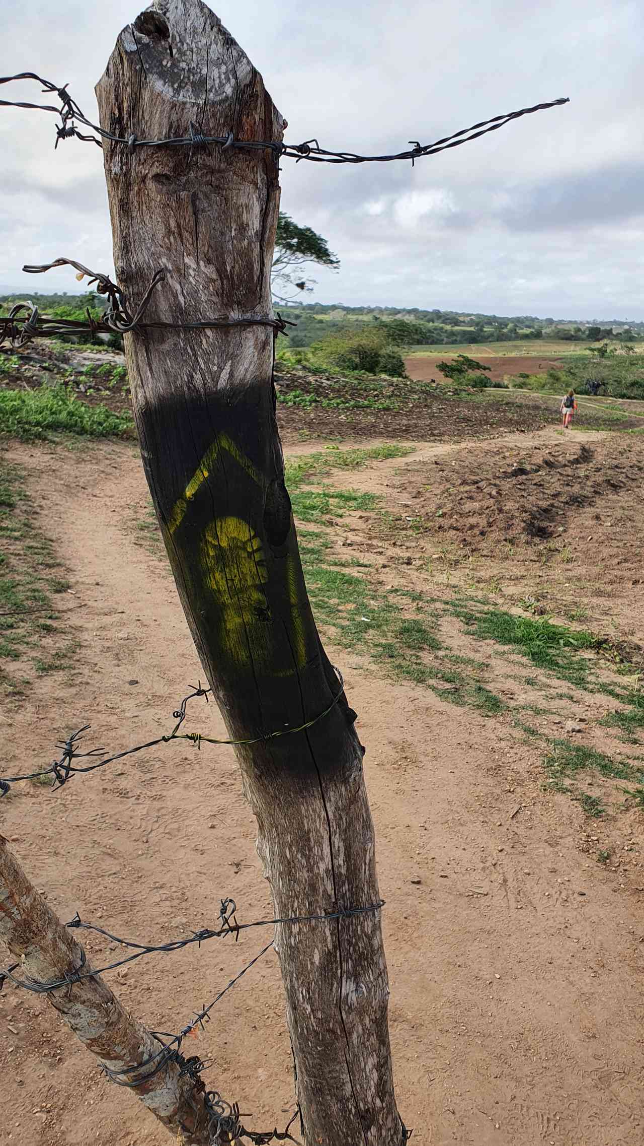
 Signaling Level Complete
 Conservation Excellent
 Risk Exposure Medium
 Sun Exposure High
 Hydration Point Available
 Climbing No climbing required
 Minimum Altitude: 254m Maximum Altitude: 572m
 Negative Unevenness: 519m
 Positive Unevenness: 283m
Attractions that the trail offers
 Fauna
 Viewpoints
 Ruins
Igreja Santo Antônio à Comunidade Umburana (Trecho 1) is a segment of the following Long-Distance Trail

Map
Guidelines
Extension: 17.72 KmDifficulty: ModerateOrientation: ModerateSignaling Level: CompleteMinimum Altitude: 254m Maximum Altitude: 572m Negative Unevenness: 519m Positive Unevenness: 283m