Trilha Brigadeiro Caparaó
Description
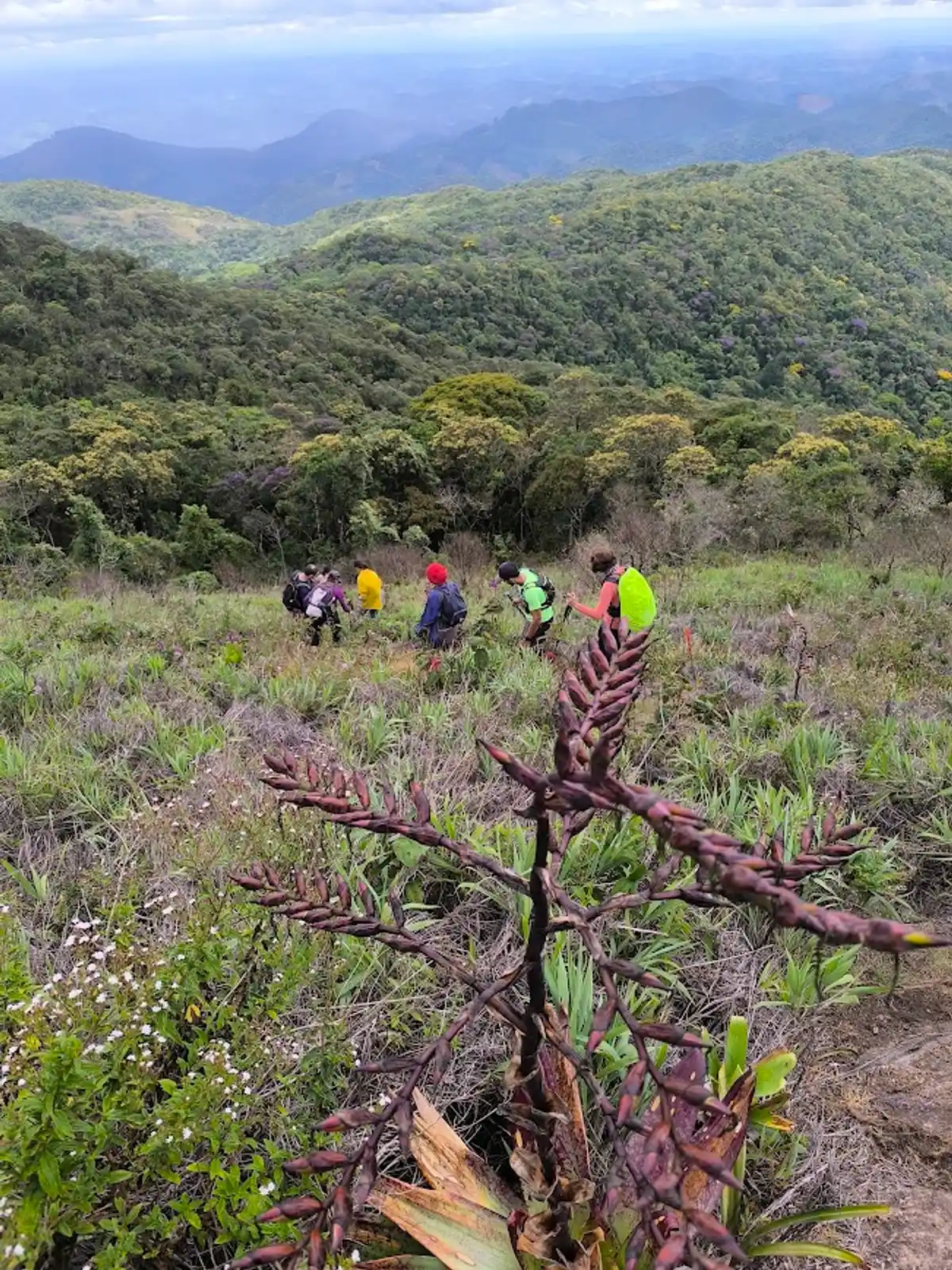
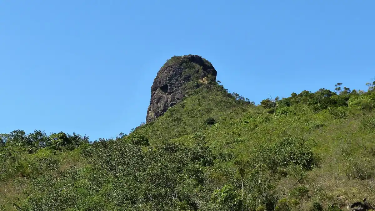
The Brigadeiro Caparaó Trail (TBC) is a long-distance trail (LDT) approximately 250 km long, connecting the Serra do Brigadeiro - the northern arm of the Serra da Mantiqueira - and the Serra do Caparaó - which houses the third highest mountain in Brazil - in the Zona da Mata Mineira. It traverses three municipalities and connects two important Conservation Units: the Serra do Brigadeiro State Park and the Caparaó National Park. The route favors existing trails, fragments of Atlantic Forest, and various natural and cultural attractions along the way. The Brigadeiro Caparaó Trail aims to contribute to the conservation of the Atlantic Forest biome, generate jobs and income in rural areas, and serve as a tool for promoting health and leisure in natural public spaces.
Activities

Guidelines
 Extension: 250 Km
 Difficulty Hard
 Orientation Moderate
 Signaling Level Partial
 Conservation Good
 Risk Exposure Medium
 Sun Exposure Medium
 Hydration Point Available
 Climbing There is
 Minimum Altitude: 1200m Maximum Altitude: 2892m
 Negative Unevenness: 1500m
 Positive Unevenness: 1000m
What the trail offers
 Waterfall
 Fauna
 Farm
 Flora
 Lake
 Viewpoints
 Peak
 Plantations
 Orchard
 River
 Ranch
 Archaeological Site
Discover the segments of Trilha Brigadeiro Caparaó
Protected Areas where the Trail passes through


Map
Guidelines
Extension: 250 KmDifficulty: HardOrientation: ModerateSignaling Level: PartialMinimum Altitude: 1200m Maximum Altitude: 2892m Negative Unevenness: 1500m Positive Unevenness: 1000m 


