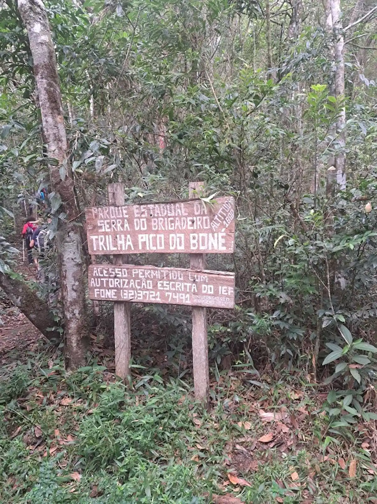
Trilha Pico do Boné
Description
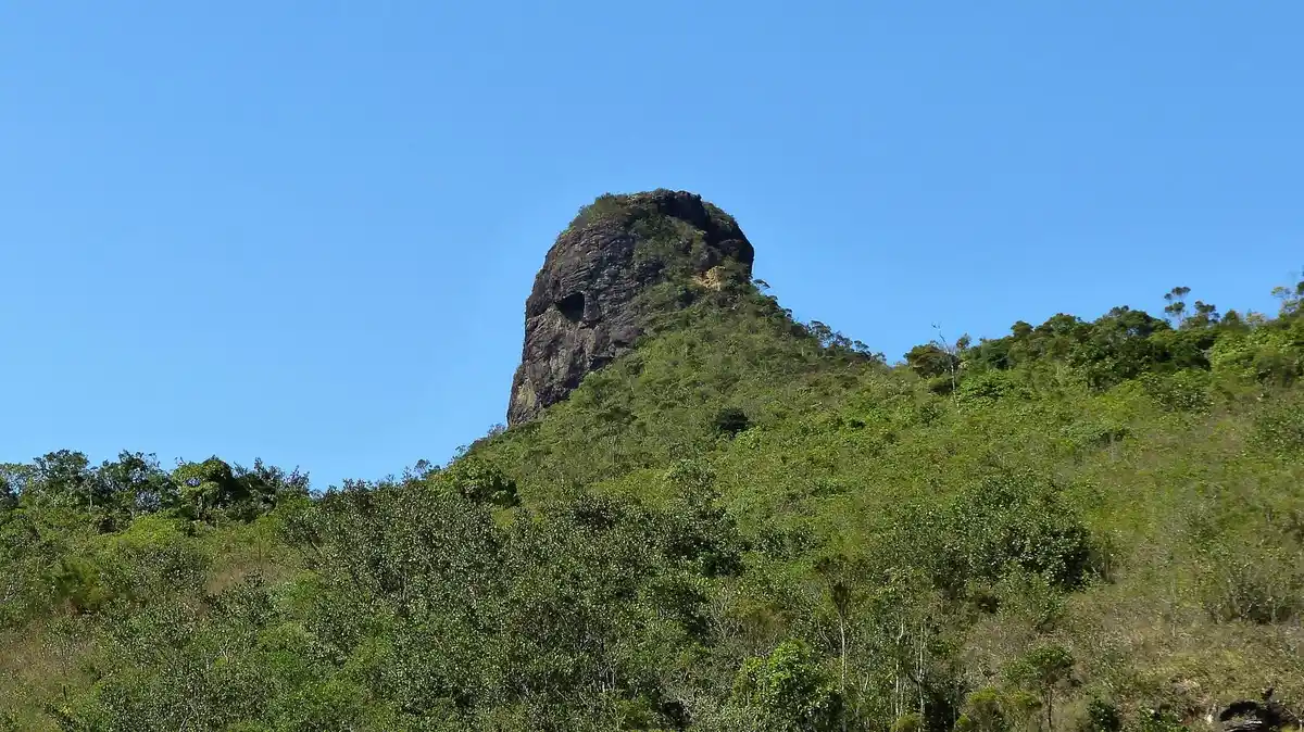
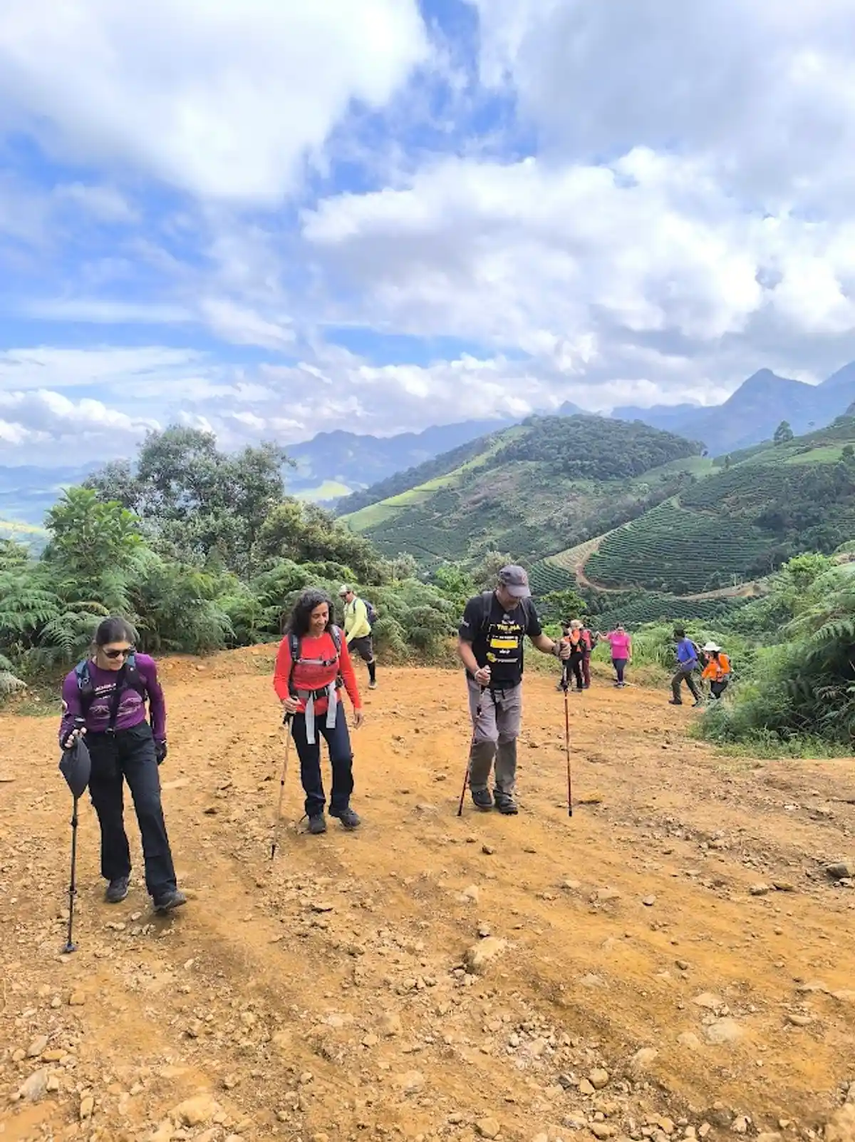
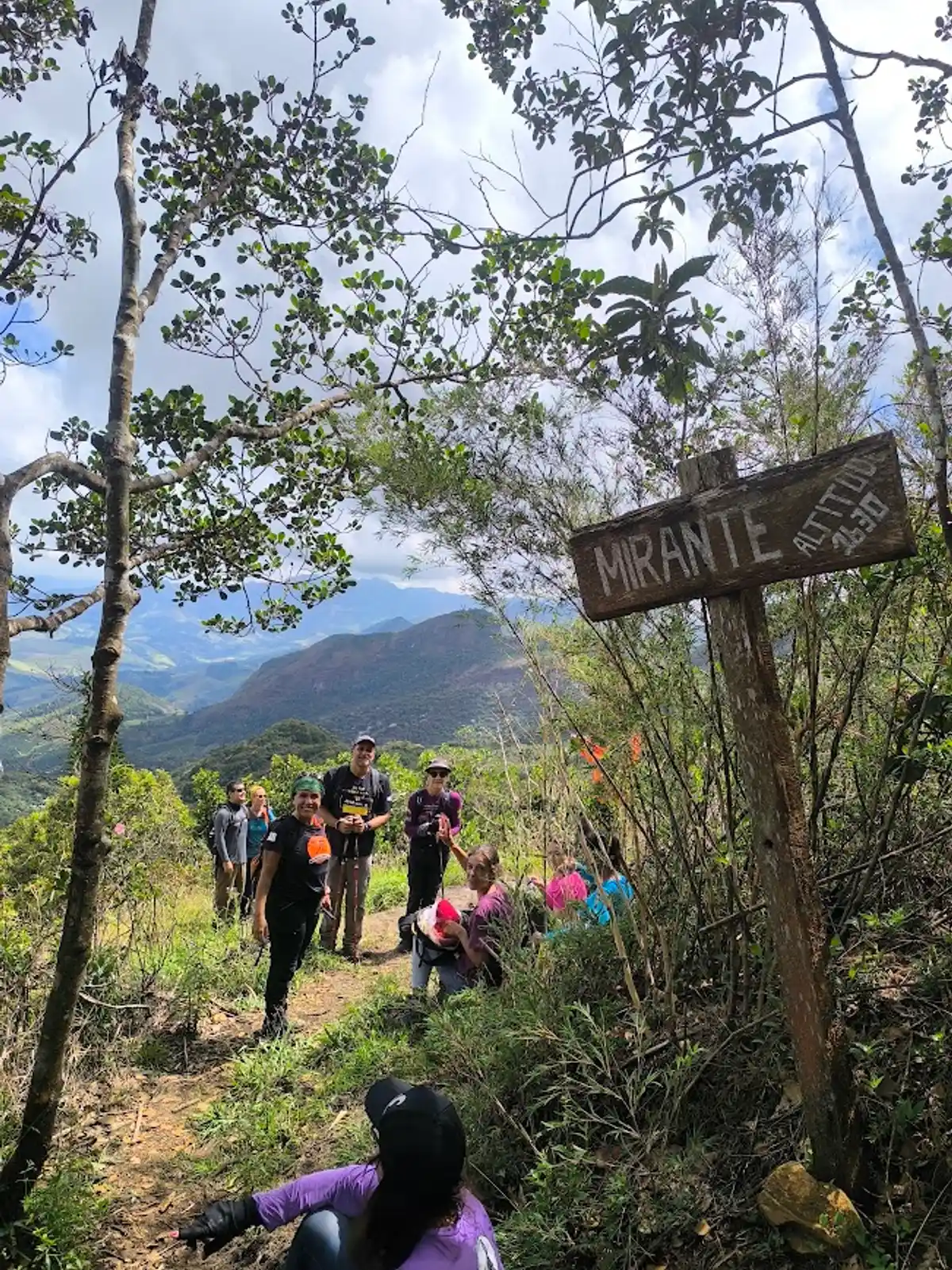
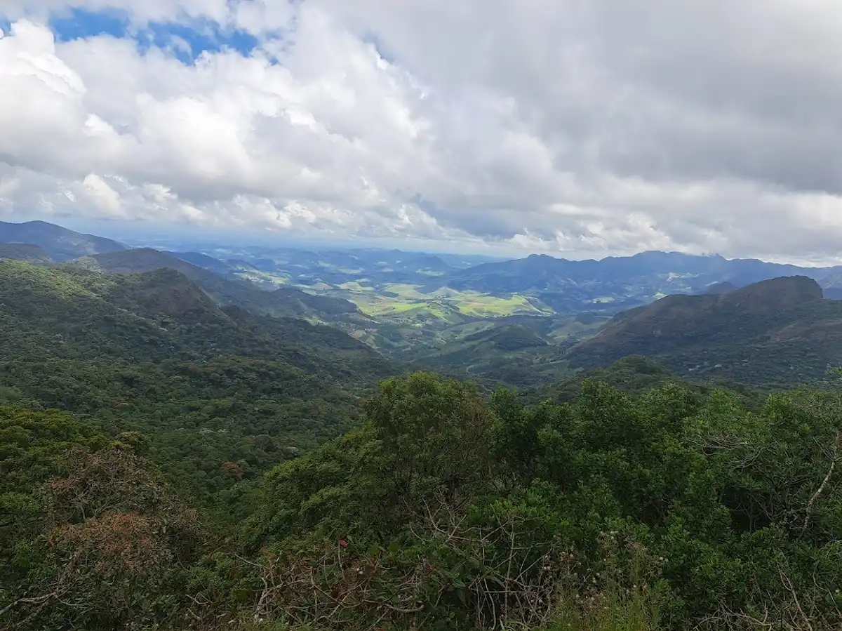
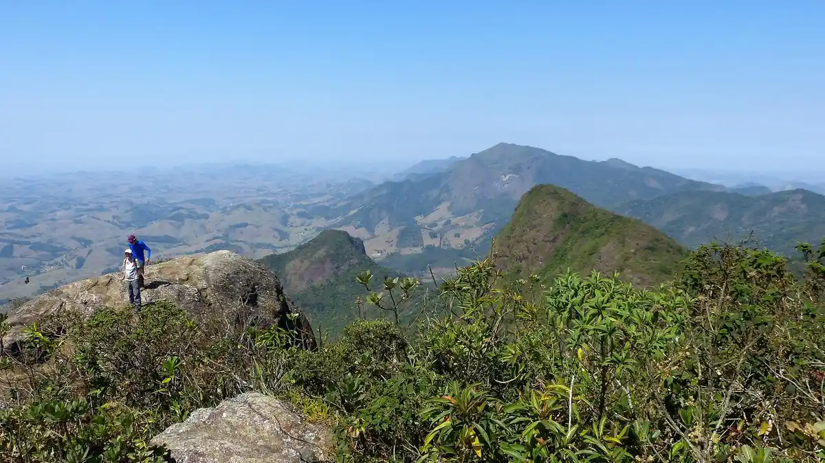
Pico do Boné (“Cap Peak”), which gets its name from its appearance when viewed from a distance, stands at 1,870 meters above sea level, and its summit is a small plateau measuring 10 by 15 meters, where vegetation of small shrubs and a large number of red-flowered bromeliads predominate. It is one of the highest peaks in the Parque Estadual da Serra do Brigadeiro. From its summit, there is a magnificent 360° panoramic view, where you can see the seas of hills: to the east, the district of Bom Jesus do Madeira; to the south, the Serra do Grama and Pedra do Pato; to the north, Pico do Soares and Pedra Branca; and to the west, the municipality of Araponga.
Activities

Guidelines
 Extension: 8 Km
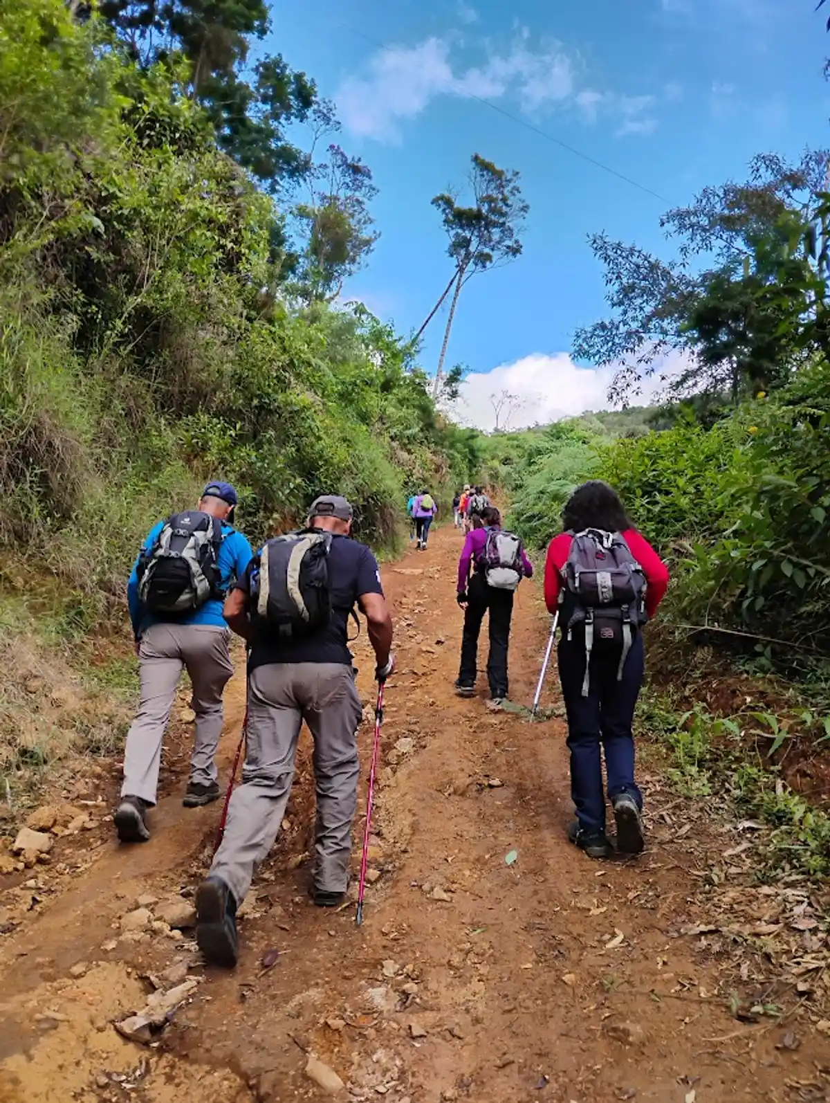
 Difficulty Moderate
 Orientation Easy
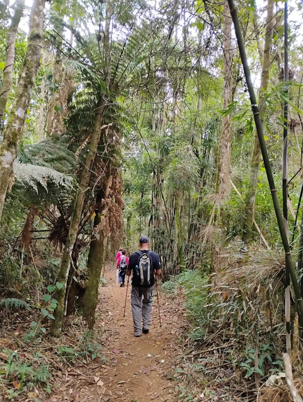
 Signaling Level Partial
 Conservation Good
 Risk Exposure Medium
 Sun Exposure Medium
 Hydration Point Available
 Climbing There is
 Minimum Altitude: 250m Maximum Altitude: 1870m
 Negative Unevenness: 702m
 Positive Unevenness: 890m
Attractions that the trail offers
 Astrotourism
 Avifauna
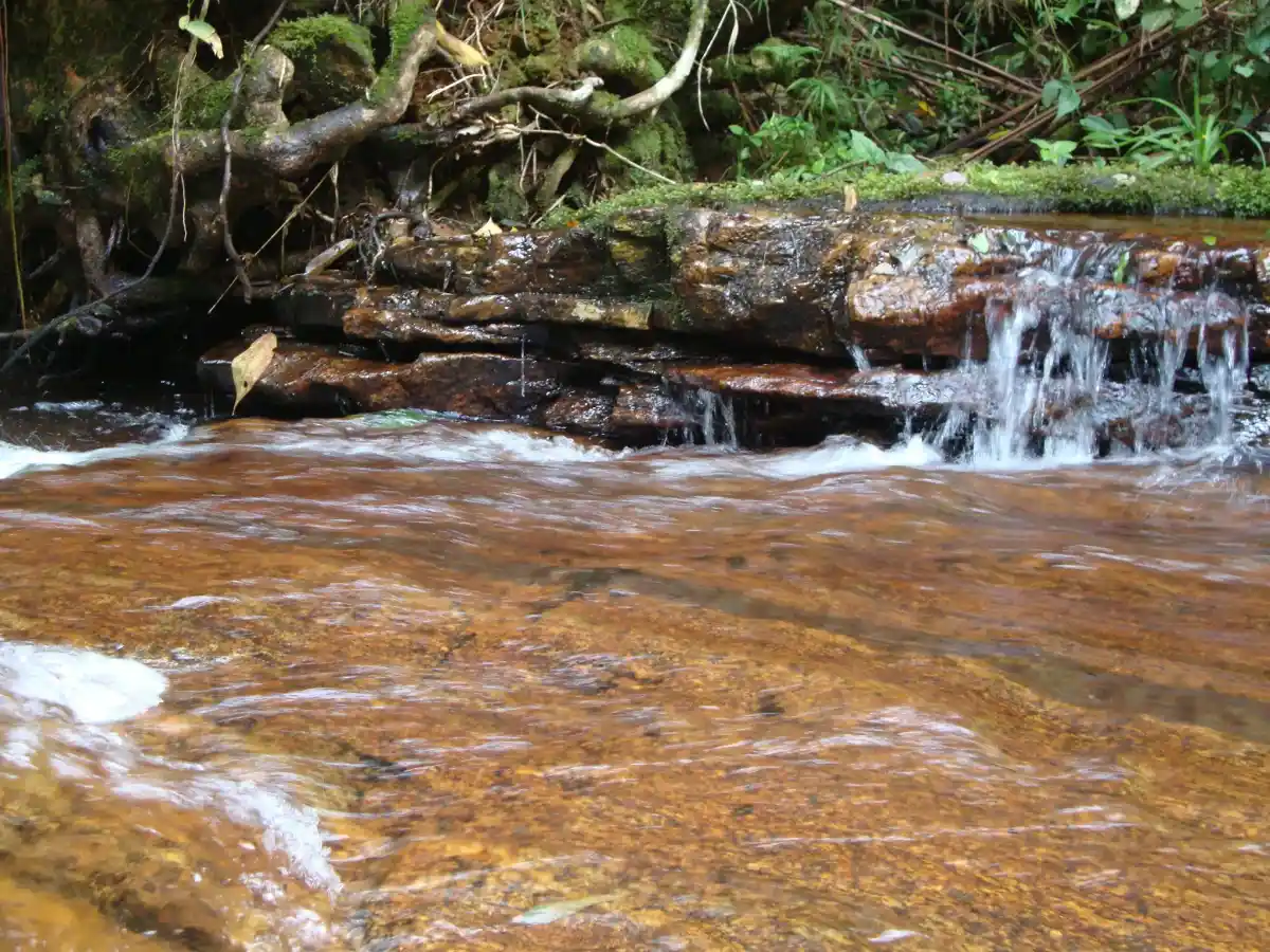
 Waterfall
Trilha Pico do Boné is a segment of the following Long-Distance Trail

The trail is located in the following protected area

Tips
Climbing to the actual summit of Pico do Boné is not permitted by the Parque Estadual da Serra do Brigadeiro. The ascent is up a rock wall, with high exposure to heights and a risk of falling. There are no ropes or steel cables at the site - to discourage the climb.
Map
Guidelines
Extension: 8 KmDifficulty: ModerateOrientation: EasySignaling Level: PartialMinimum Altitude: 250m Maximum Altitude: 1870m Negative Unevenness: 702m Positive Unevenness: 890m