Pitimandeua x Taciateua (Trecho 3 | Trilha Amazônia Atlântica)
Description
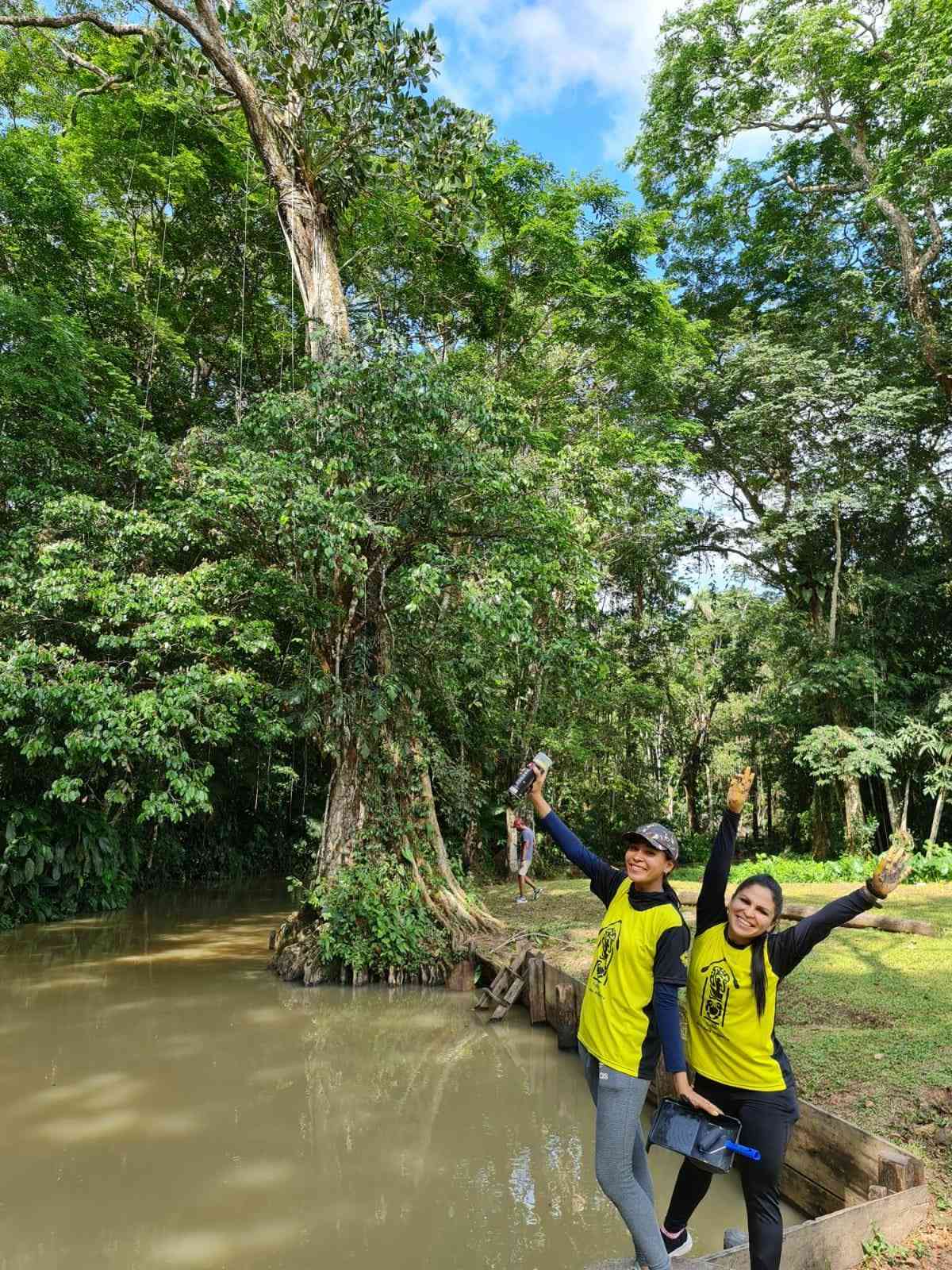
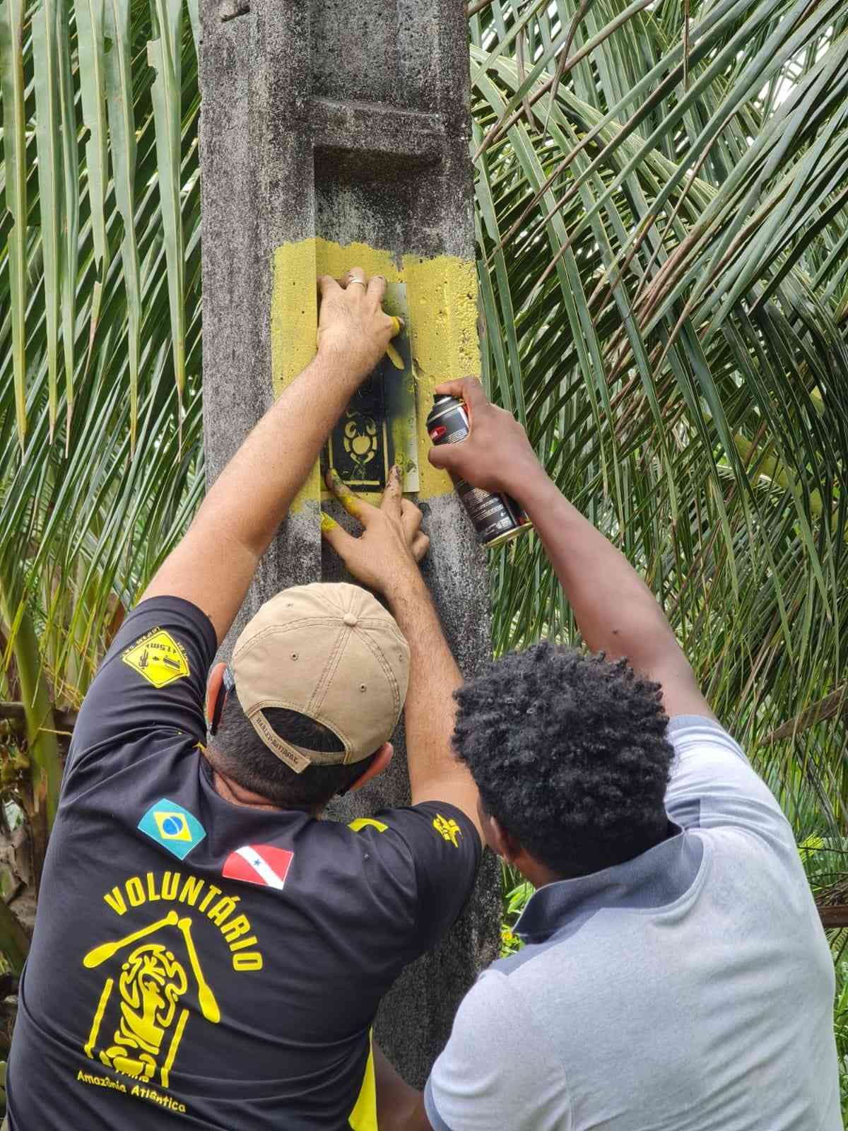
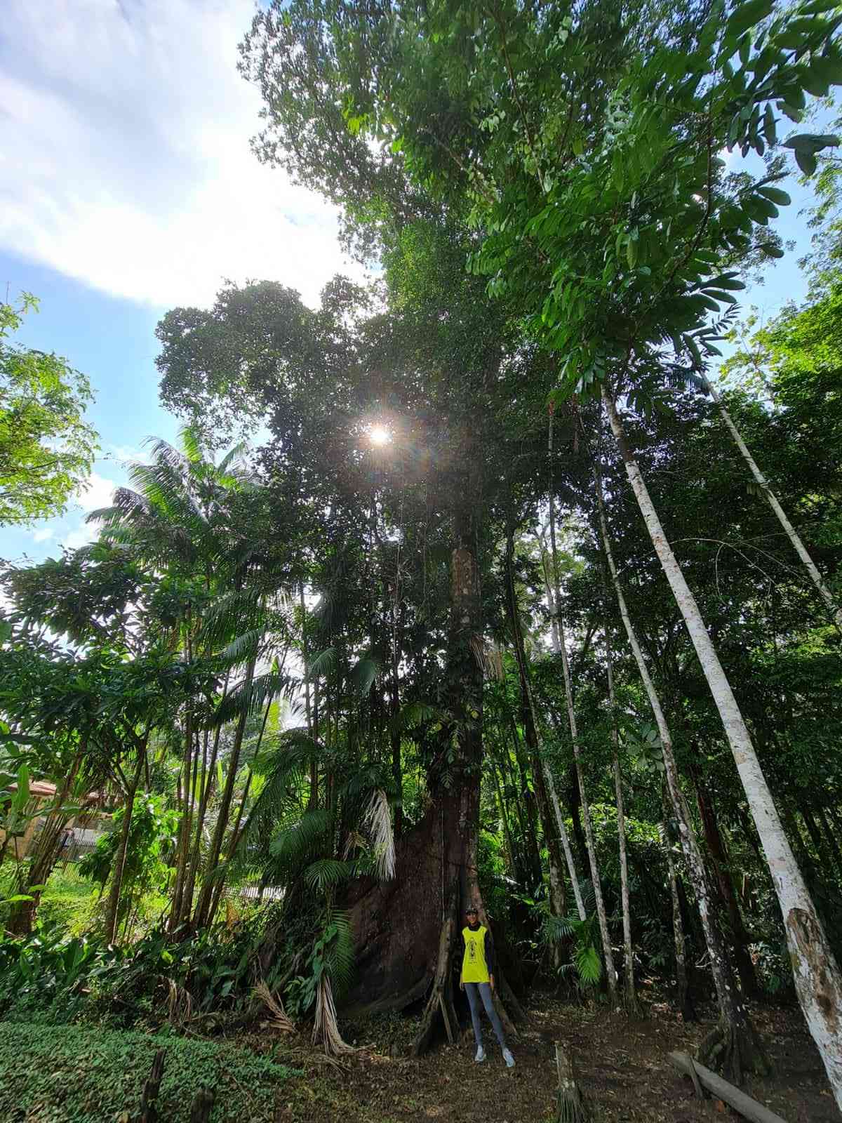
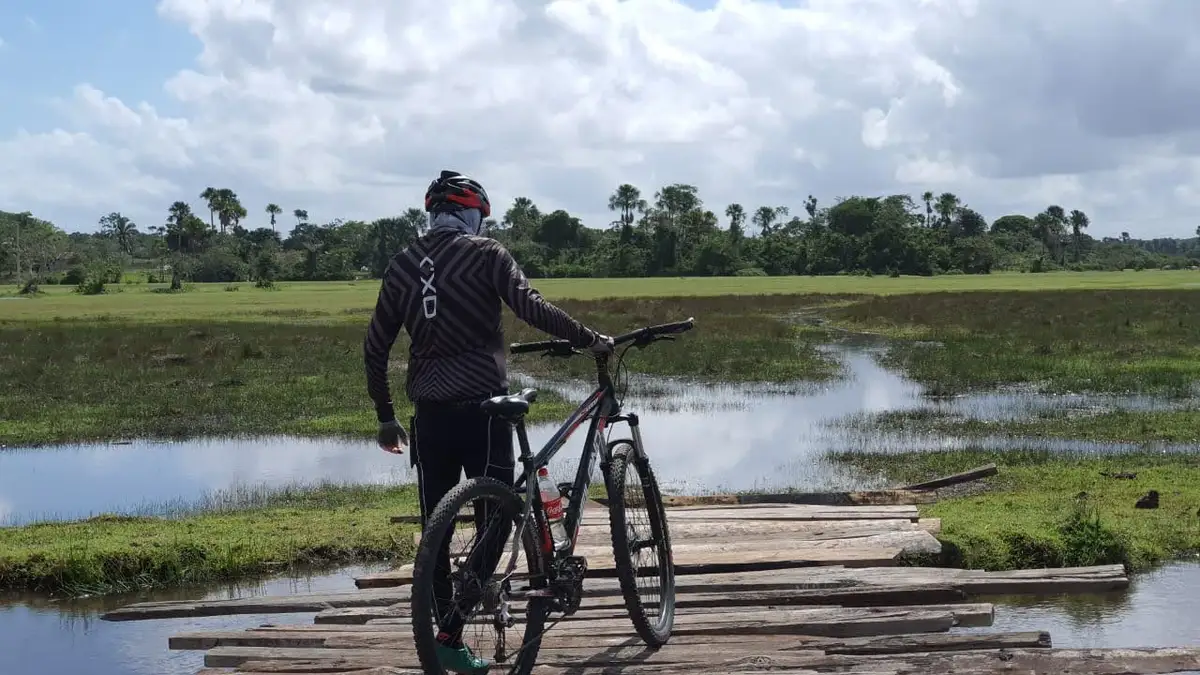
Along the route of this section of the Amazon Atlantic Trail, it is possible to visit small villages. Each has its charm and history, many of which are related to the old Belém x Bragança Railway, the first built on Amazonian soil. The Quilombola Territory of Pitimandeua, various rural communities, rivers, and cold-water streams are among the main attractions of the region, which is part of the Maracanã River Basin and flows between Algodoal Island and the city of Salinas on the state’s coast. When passing through a short stretch on the BR-316 Highway, be extra cautious due to the heavy flow of vehicles. However, don’t worry, as the route is mainly traveled on dirt roads and rarely crosses urban areas. In one of the few moments this occurs, in the city of Santa Maria do Pará, you will have the opportunity to resupply with gear, food, and water. Take advantage of this stop for a well-deserved rest.
Activities


Guidelines
 Extension: 75.51 Km
 Difficulty Moderate
 Orientation Easy
 Signaling Level NonExistent
 Conservation Good
 Risk Exposure Medium
 Sun Exposure High
 Hydration Point Available
 Climbing No climbing required
 Minimum Altitude: -20.16m Maximum Altitude: 59.12m
 Negative Unevenness: 335m
 Positive Unevenness: 299m
Attractions that the trail offers
 Avifauna
 Igarapé
 Fauna
Pitimandeua x Taciateua (Trecho 3 | Trilha Amazônia Atlântica) is a segment of the following Long-Distance Trail
The trail is located in the following protected area


Map
Guidelines
Extension: 75.51 KmDifficulty: ModerateOrientation: EasySignaling Level: NonExistentMinimum Altitude: -20.16m Maximum Altitude: 59.12m Negative Unevenness: 335m Positive Unevenness: 299m