Trilha Amazônia Atlântica
Description
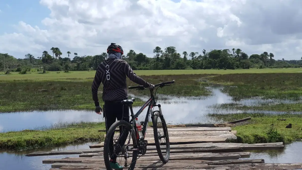
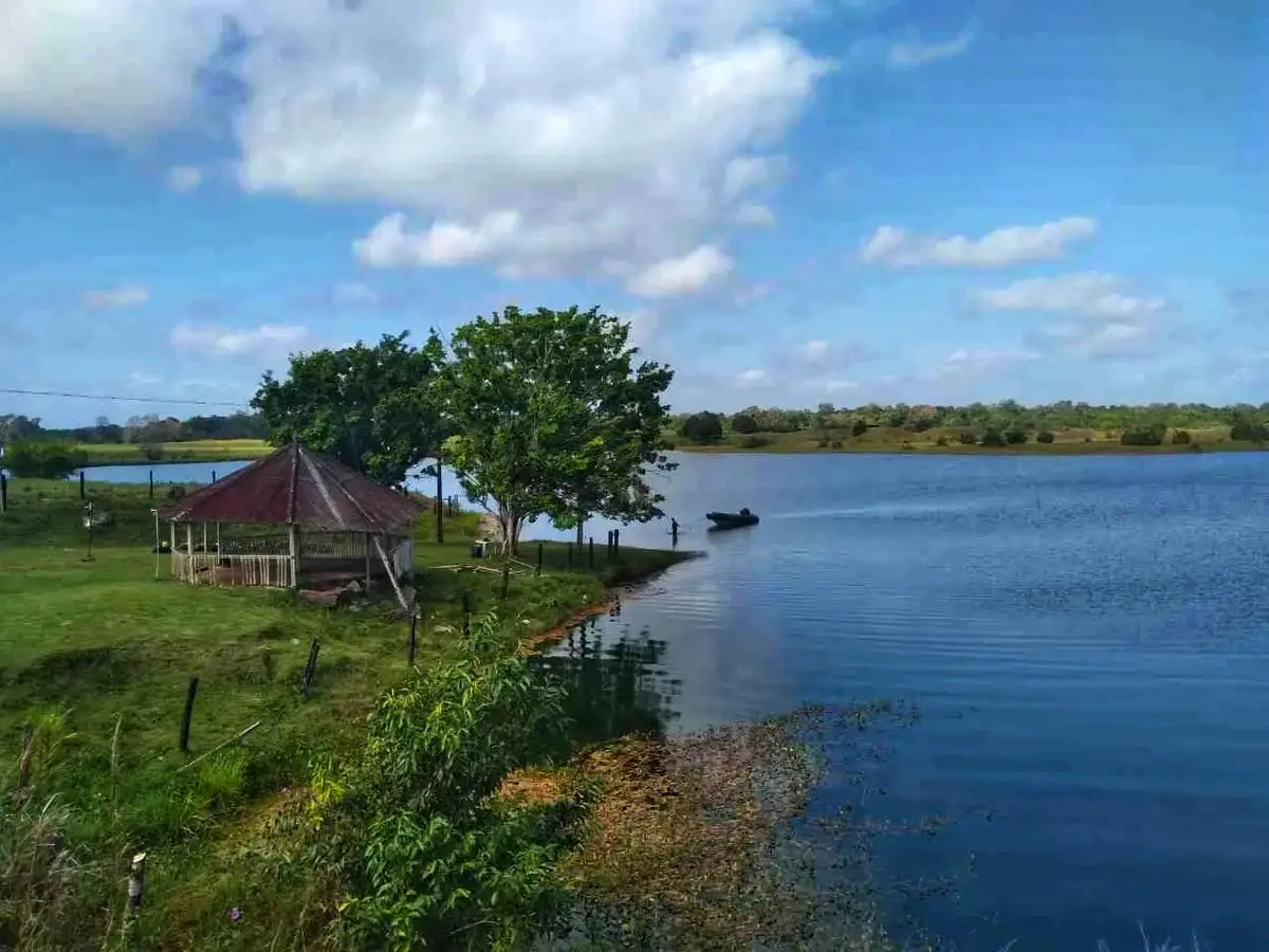
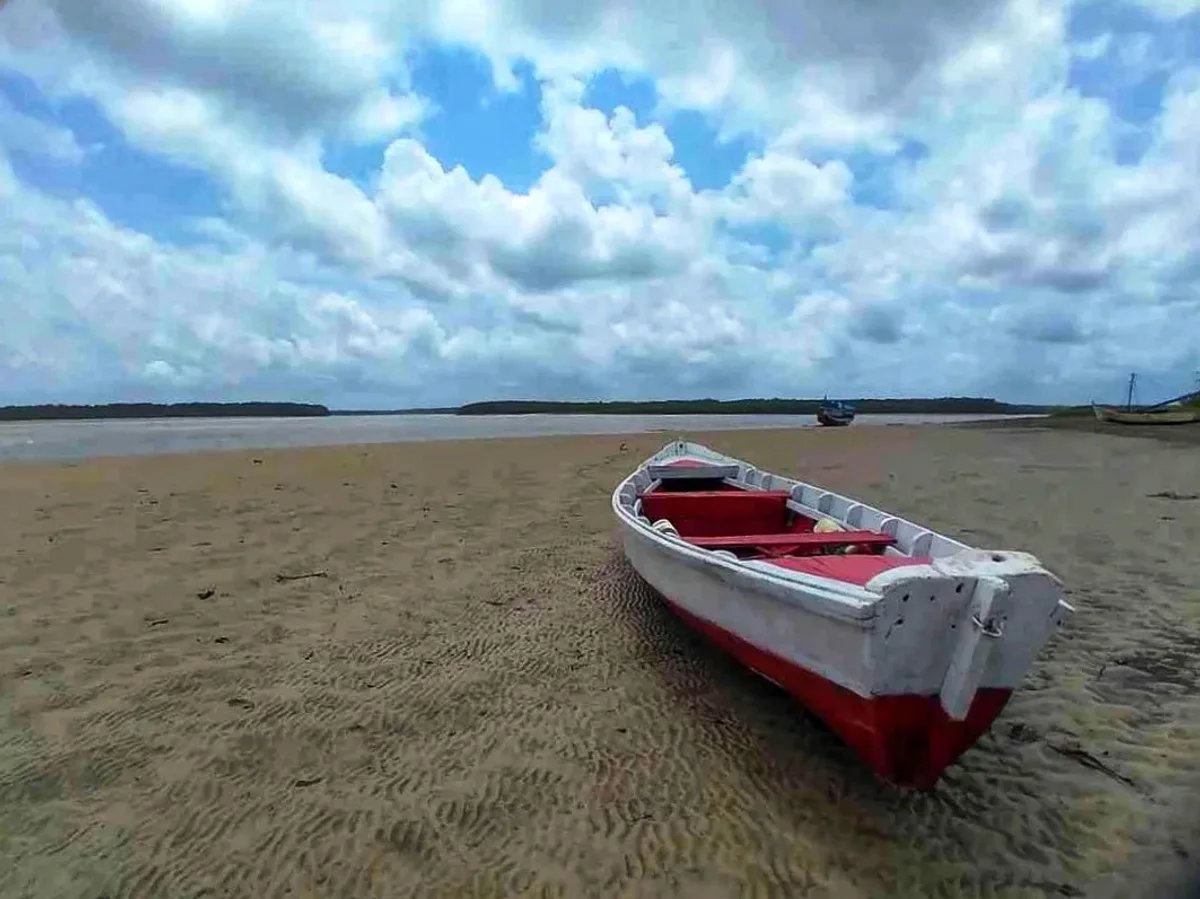
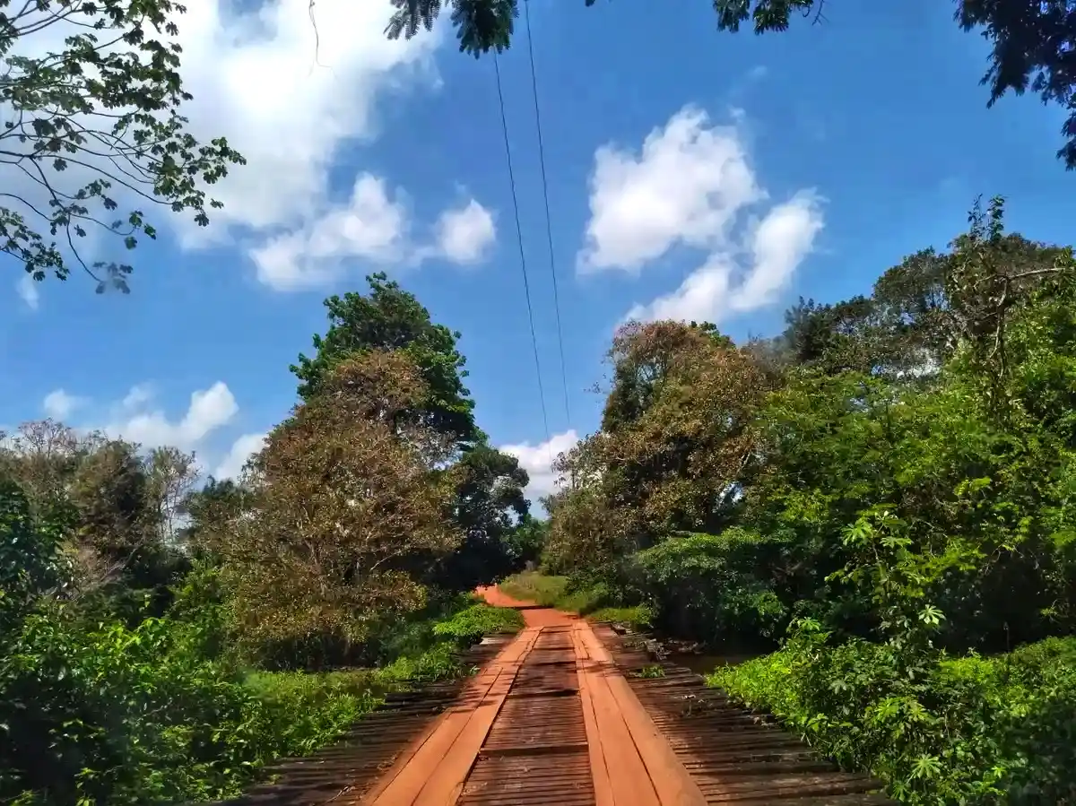
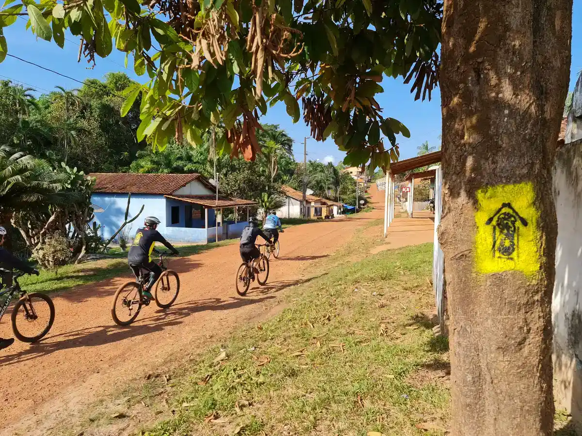
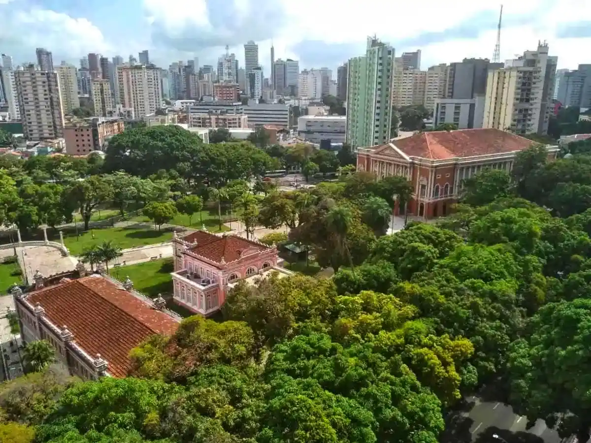
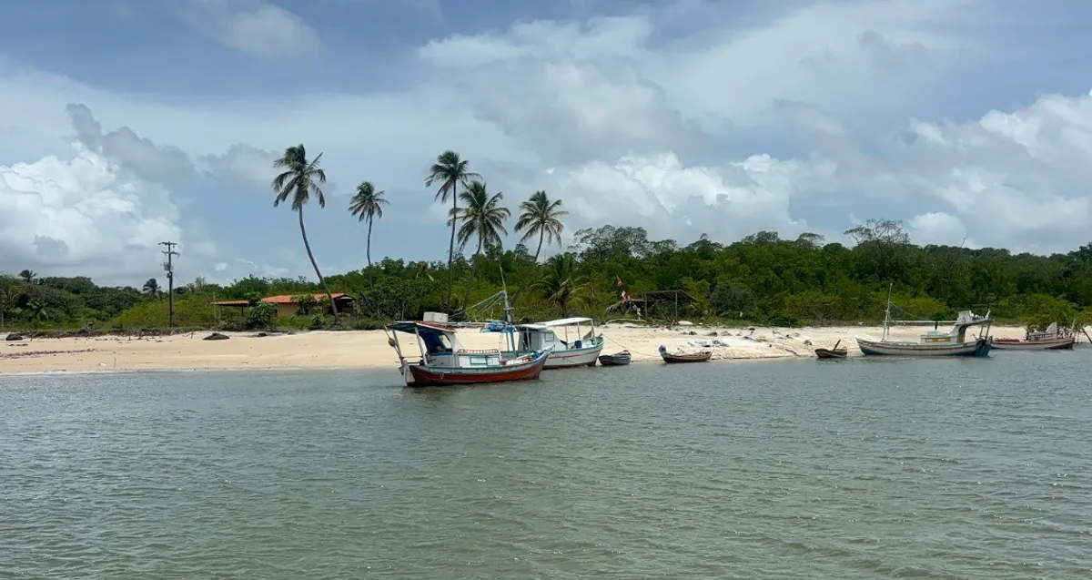
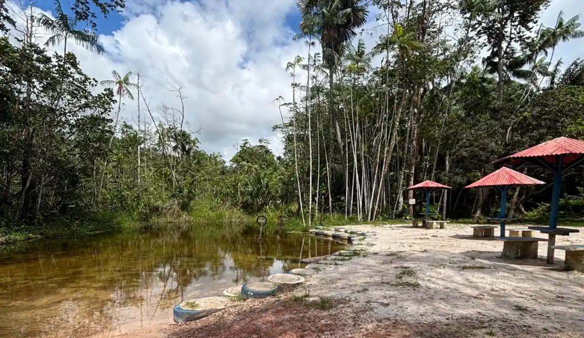
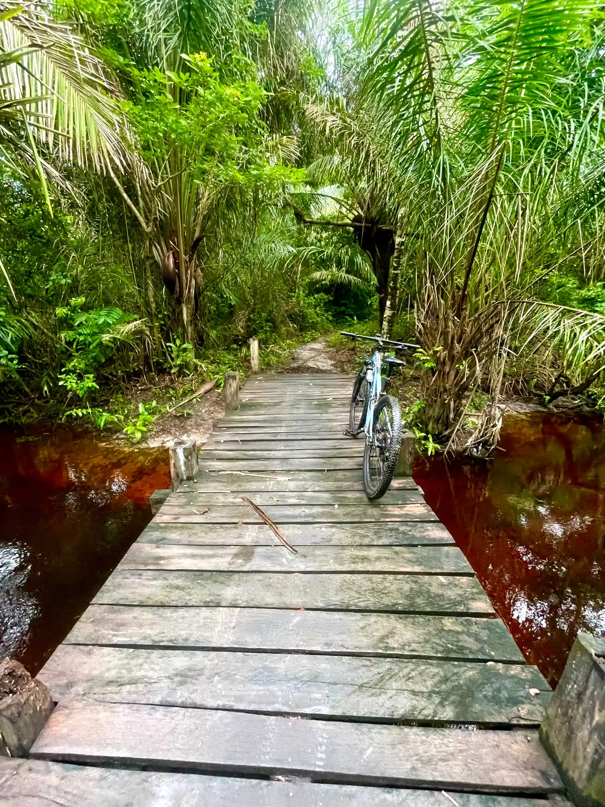
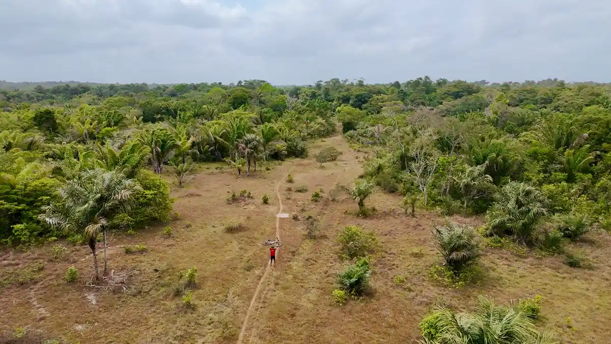
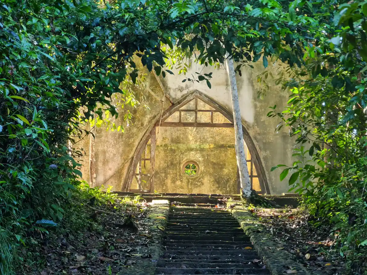
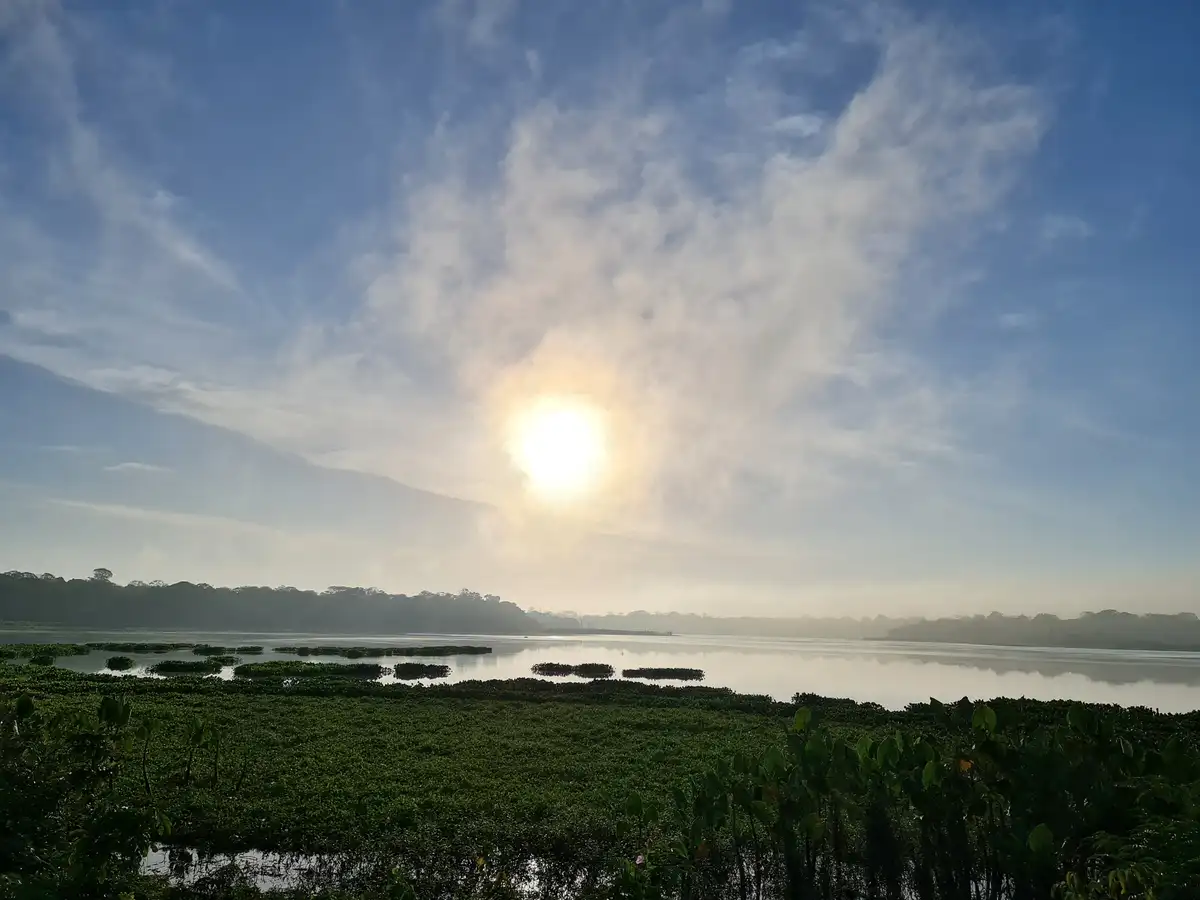
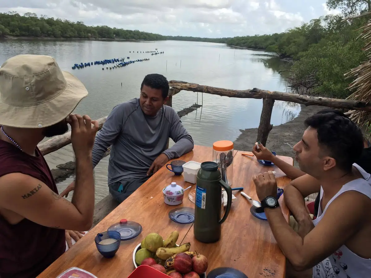
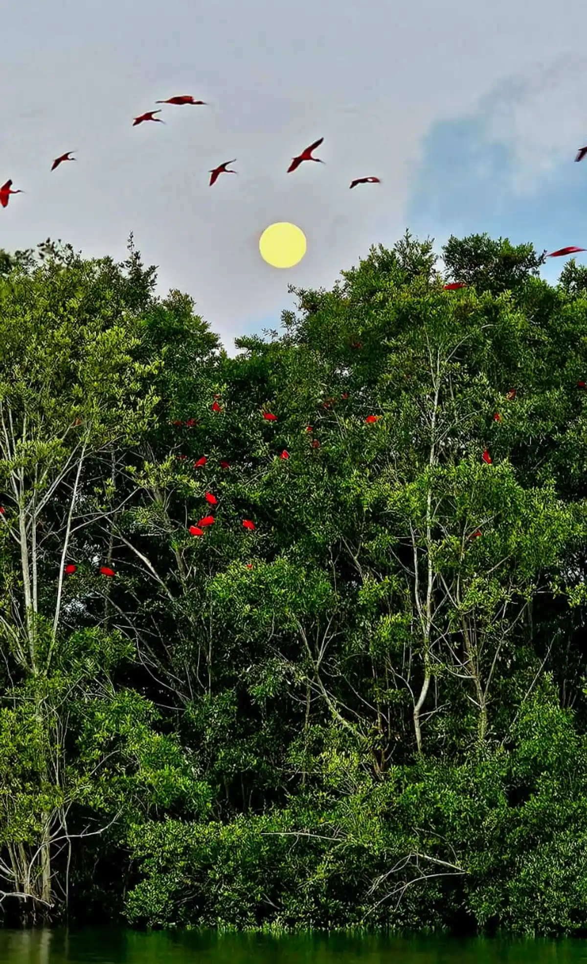
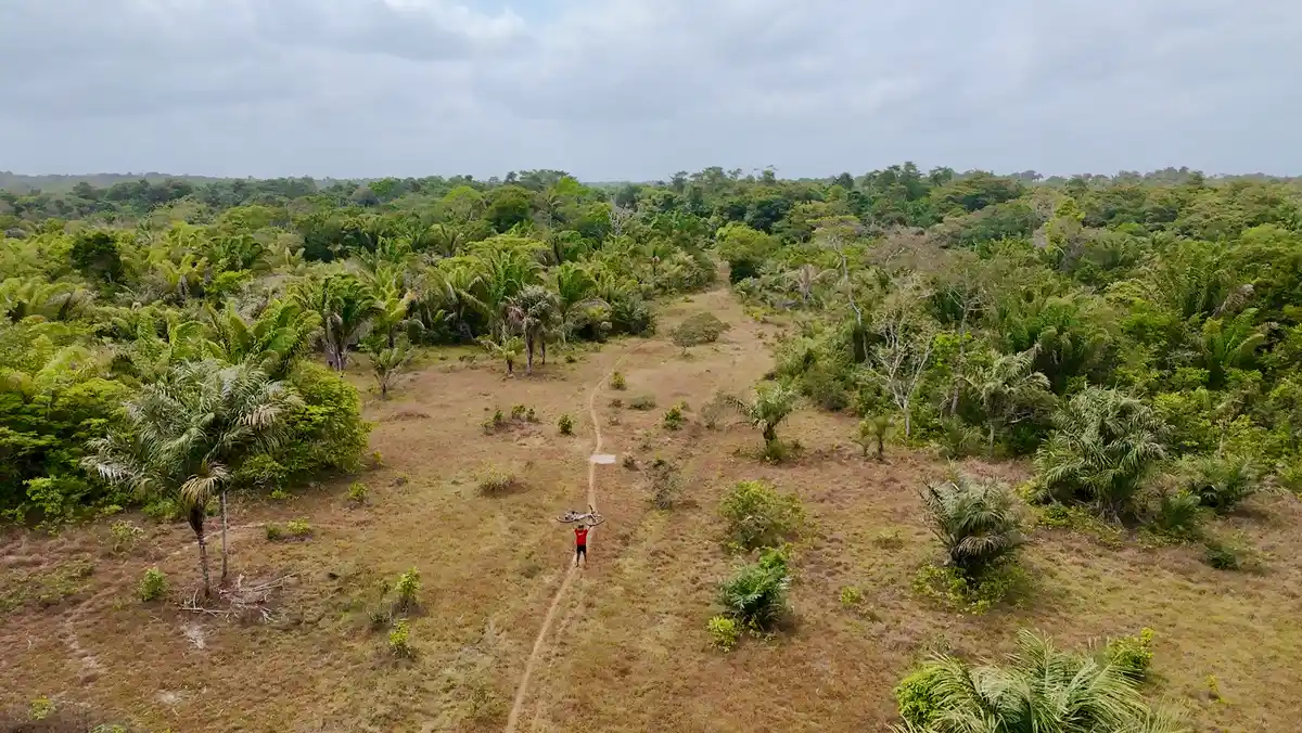
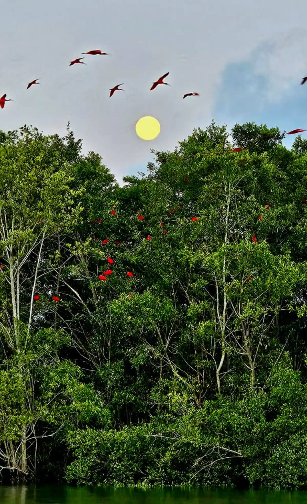
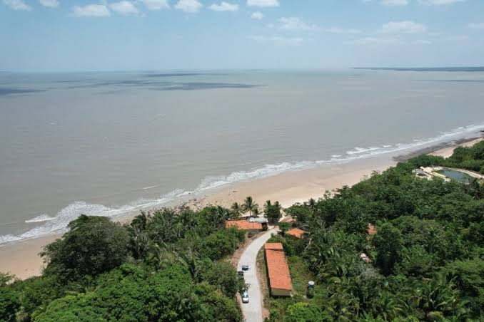
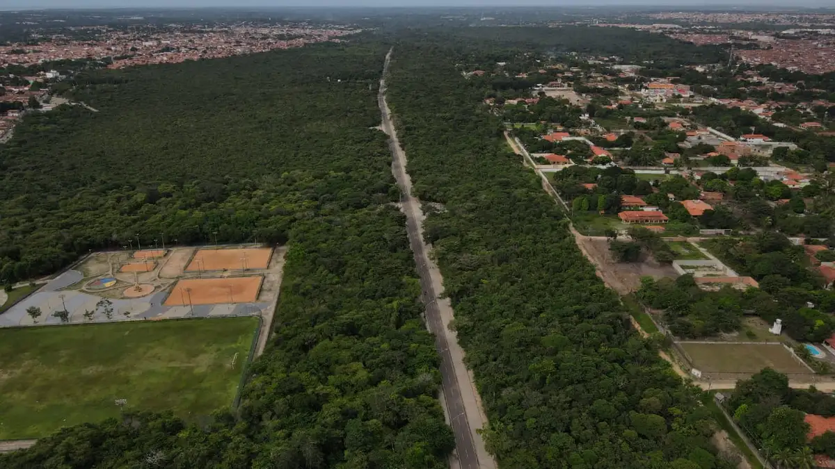
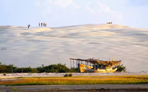
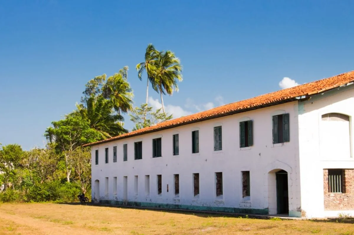
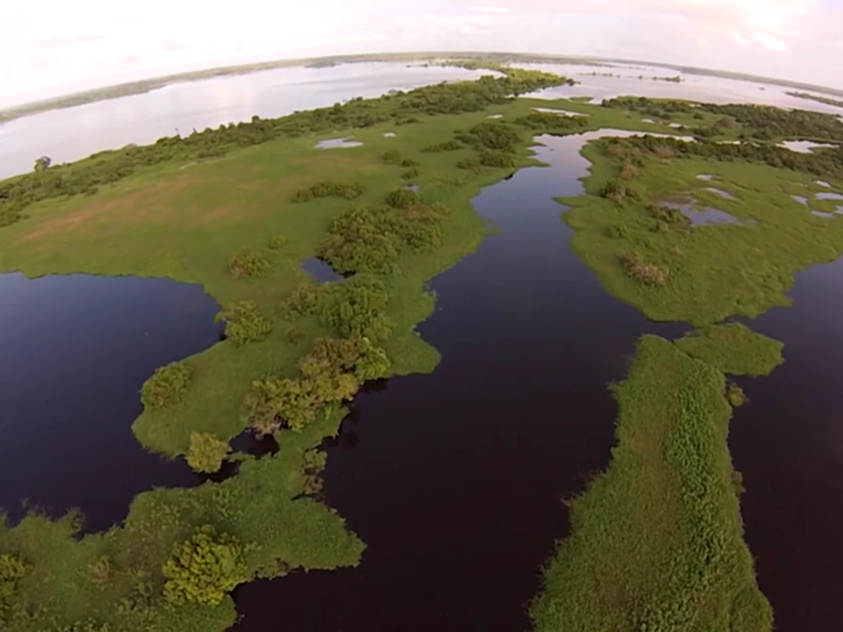
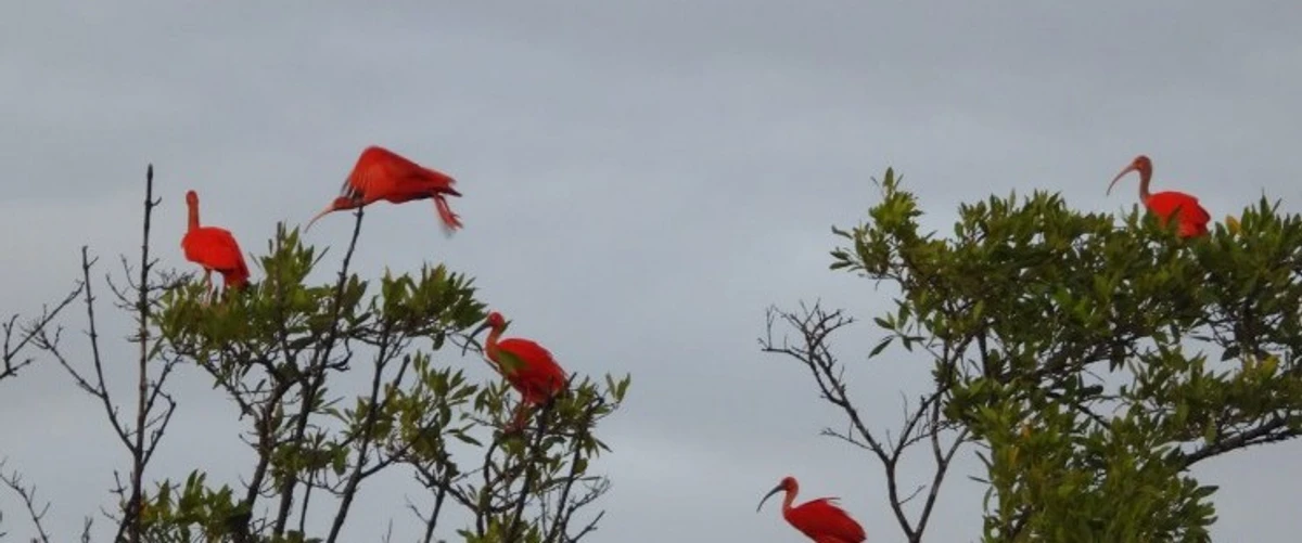
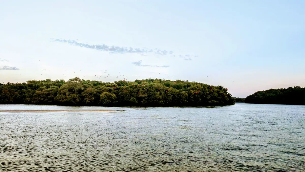
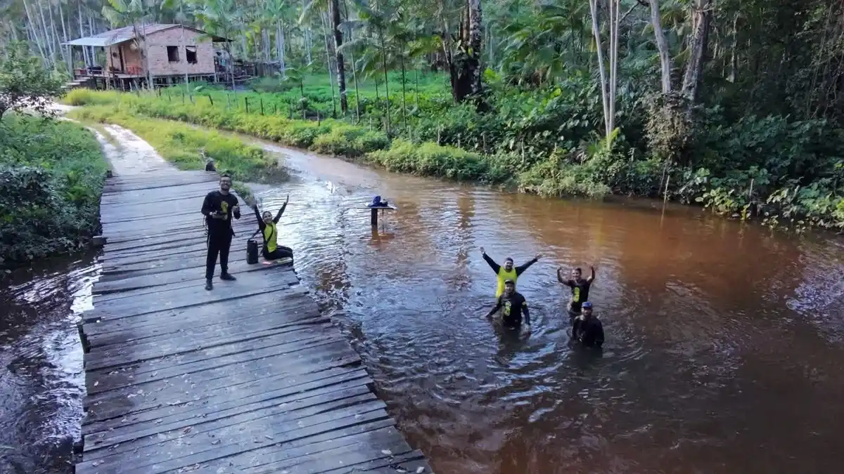
Imagine biking, walking, or even horseback riding through the state of Pará. Traversing a continuous path among dirt roads, upland forests, and Bragantinos Natural Fields until reaching the incredible coastline of the Amazon, with its preserved mangroves. Now, prepare for a rich experience in culture, history, and nature, where each section of the Amazon Atlantic Trail reveals unique beauties! The Amazon Atlantic Trail connects historical and pilgrimage routes, allowing you to experience a deep and authentic Amazon. The route crosses conservation units, centuries-old quilombola territories, and dozens of traditional communities. As you travel, you can taste the unparalleled cuisine of Pará, learn about the region's cultural diversity, and even engage in birdwatching and swim in the refreshing streams. Composed of 07 sections, the Trail crosses 17 municipalities along its 468 km route, extending from the capital Belém to the Serra do Piriá in Viseu, on the border with the state of Maranhão. Its path passes through 13 protected areas, including 07 conservation units: - Tracuateua Marine Extractive Reserve; - Caeté-Taperaçu Marine Extractive Reserve; - Araí-Peroba Marine Extractive Reserve; - Gurupi-Piriá Marine Extractive Reserve; - Belém Environmental Protection Area; - Amazon Metropolis Wildlife Refuge; and - Utinga Camilo Vianna State Park. And 06 quilombola territories: - Remnants of Quilombolas de Torres in Tracuateua; - América in Bragança; - Pitimandeua in Inhangapi; - Macapazinho in Castanhal; - Santíssima Trindade in Santa Isabel do Pará; and - Macapazinho in Santa Isabel do Pará.
Activities


Guidelines
 Extension: 1141.51 Km
 Difficulty Moderate
 Orientation Moderate
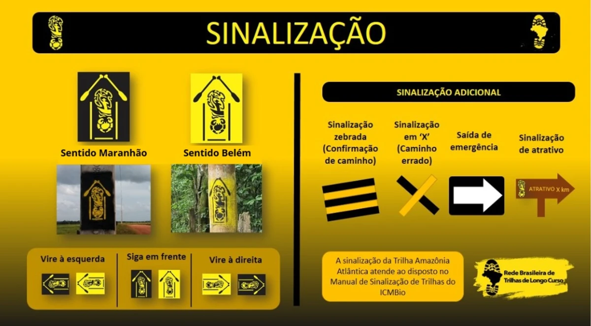
 Signaling Level Partial
 Conservation Good
 Risk Exposure Low
 Sun Exposure High
 Hydration Point Available
 Climbing No climbing required
 Minimum Altitude: -37.29m Maximum Altitude: 145.9m
 Negative Unevenness: 5053m
 Positive Unevenness: 5046m
What the trail offers
 Avifauna
 Igarapé
 Historic Building
 Flora
 Cave
 Mangrove
 Museum
 River
 Fauna
 Lake
 Viewpoints
 Ruins
What to see on the trail
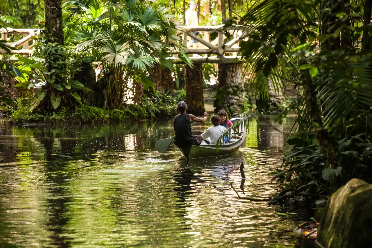
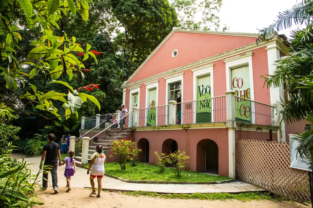
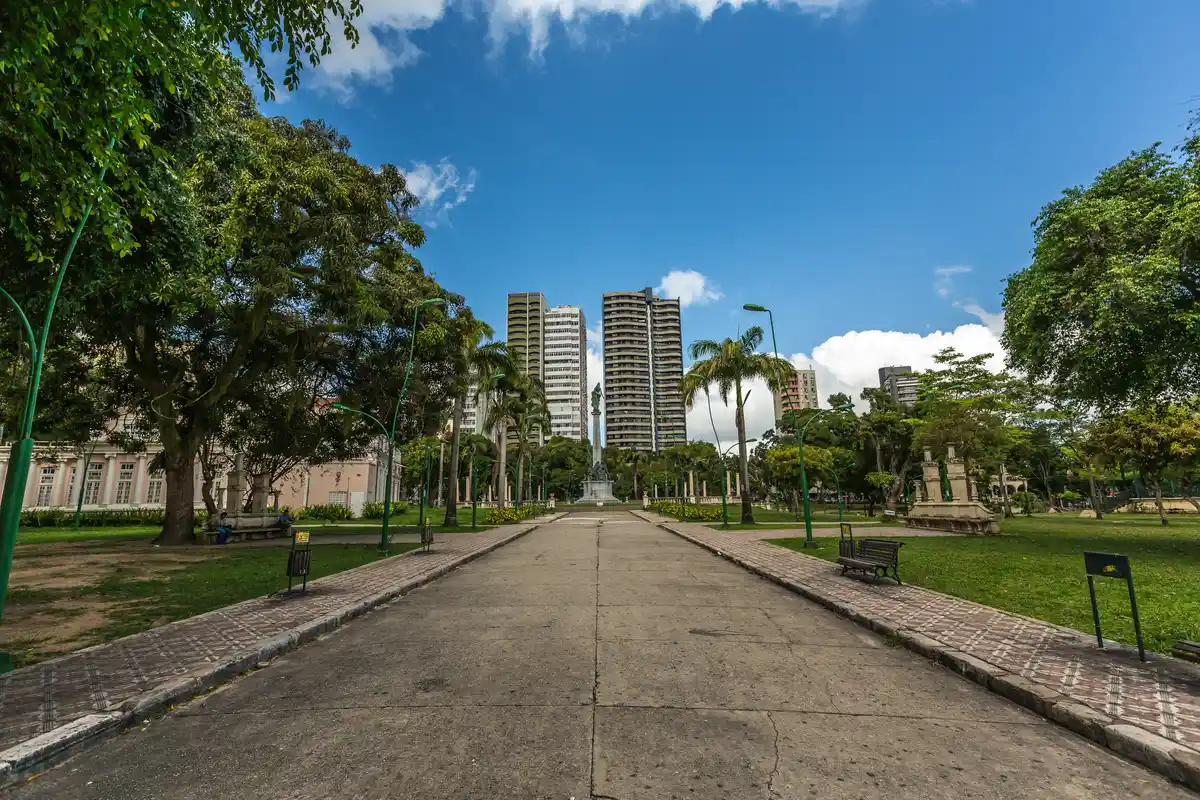
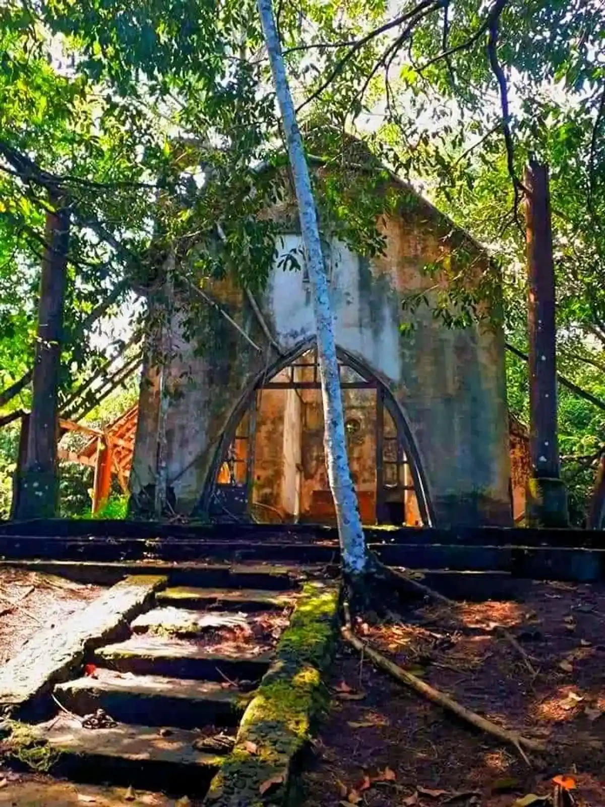


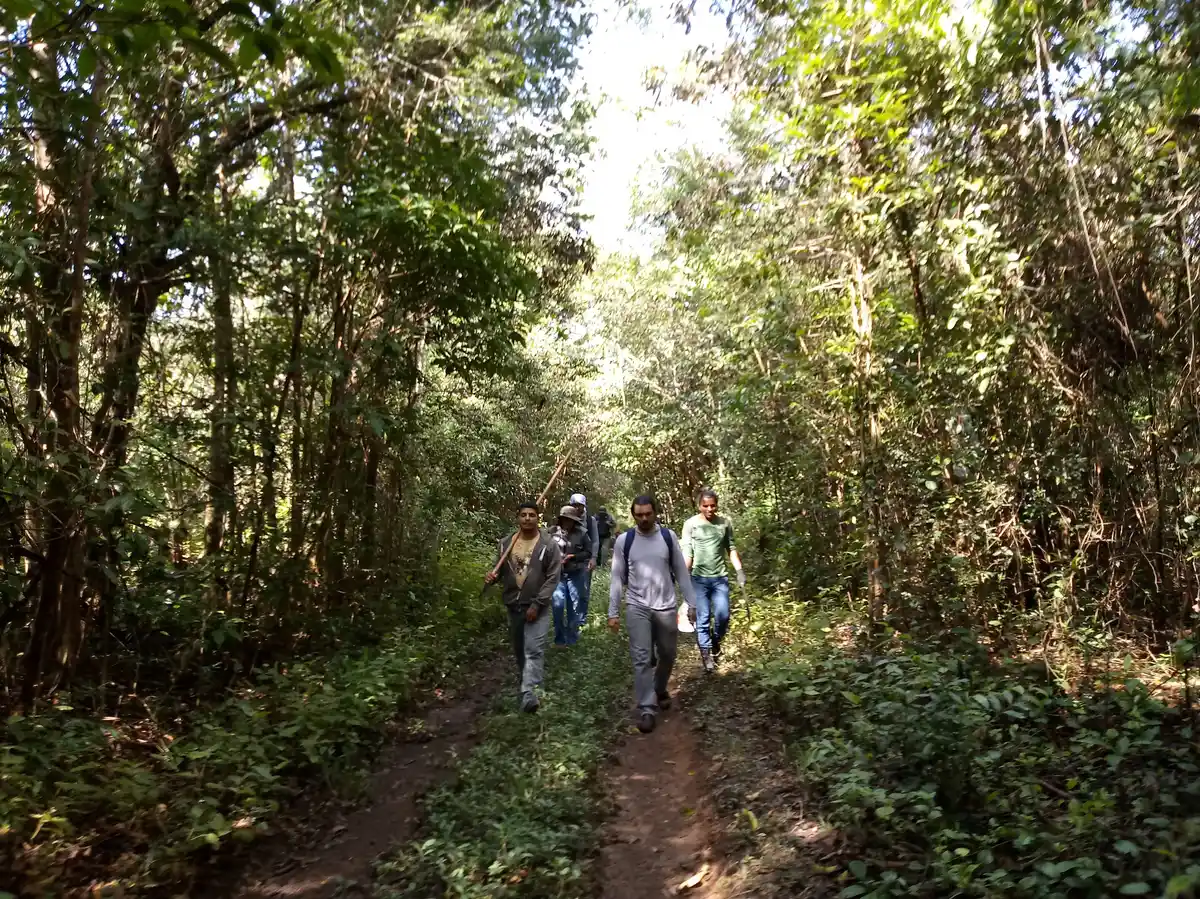


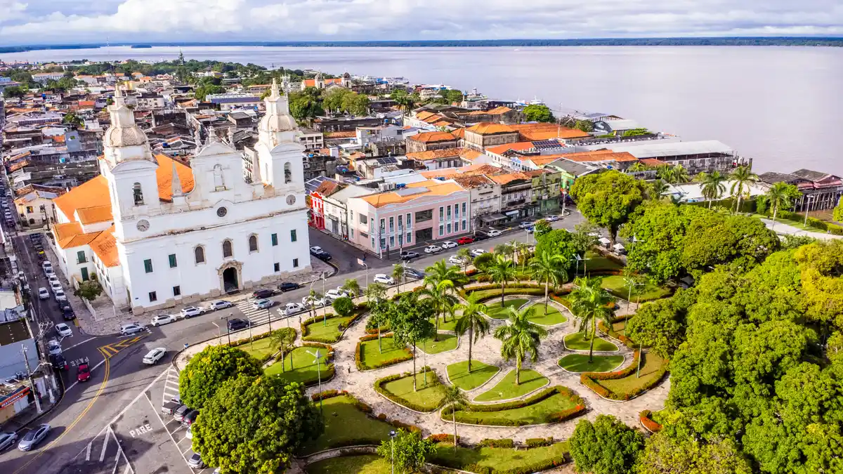

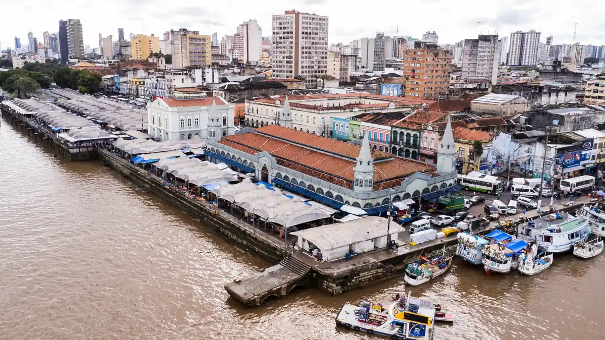
Discover the segments of Trilha Amazônia Atlântica
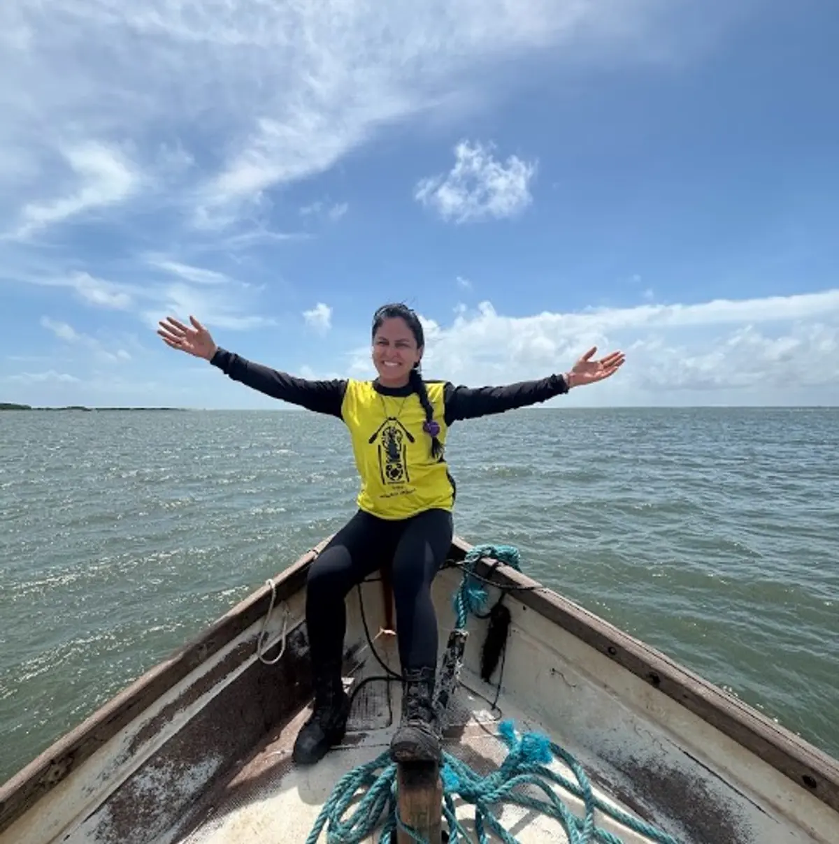




Protected Areas where the Trail passes through




Map
Guidelines
Extension: 1141.51 KmDifficulty: ModerateOrientation: ModerateSignaling Level: PartialMinimum Altitude: -37.29m Maximum Altitude: 145.9m Negative Unevenness: 5053m Positive Unevenness: 5046m