Travessia Couto x Prateleiras
Description
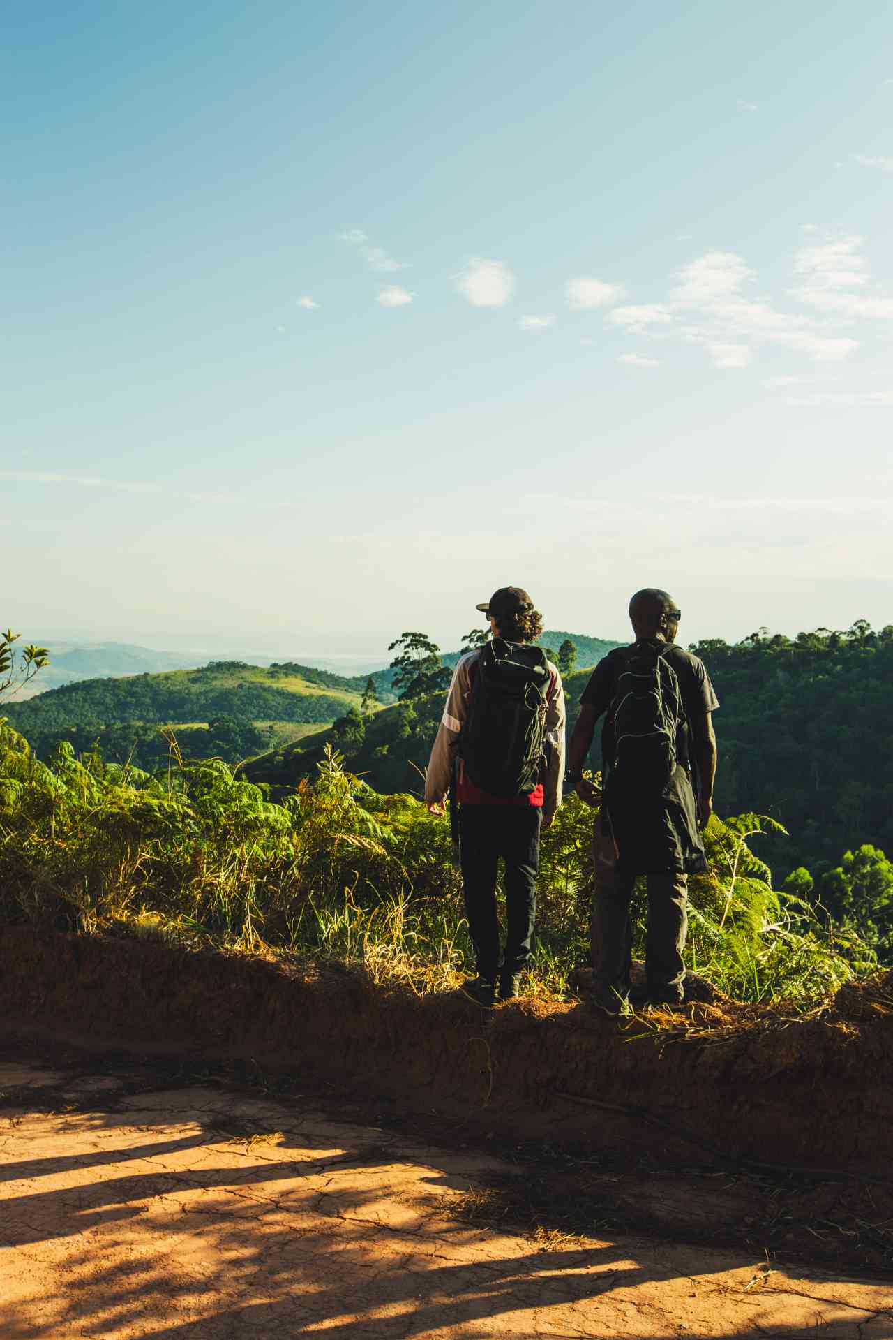
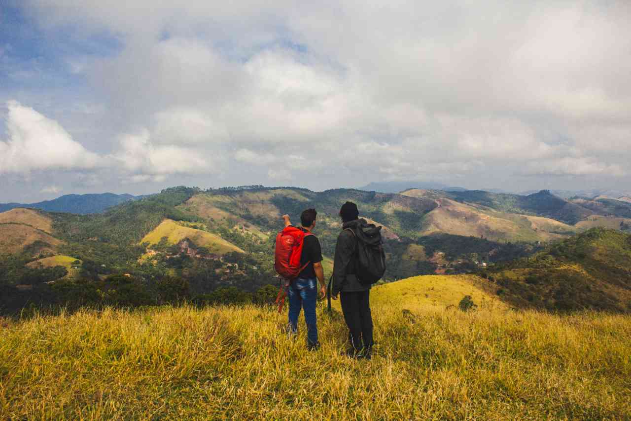
The Couto x Prateleiras Crossing is one of the most classic and beautiful in the Itatiaia National Park. The trail goes through the unique rock formations of this conservation unit, passing by viewpoints that offer an impressive view of the peaks, hills, and mountains of the Park. From the summit of Morro do Couto, the 9th highest point in the country, it is possible to see the mountain range of Serra Fina on one side and the imposing Pico das Agulhas Negras, the 6th highest point in Brazil, on the other. As you descend from Morro do Couto towards the base of the Prateleiras, you walk along the ridge of the rocks, and along the way, you can spot the Itatiaia National Park Plateau and the Paraíba Valley, appreciating the beauty of the springs that join the Campo Belo River, adding more volume to it.
Activities

Guidelines
 Extension: 12 Km
 Difficulty Hard
 Orientation Moderate
 Signaling Level Complete
 Conservation Excellent
 Risk Exposure Medium
 Sun Exposure High
 Hydration Point Available
 Climbing There is
 Minimum Altitude: 2400m Maximum Altitude: 2680m
 Negative Unevenness: 454m
 Positive Unevenness: 454m
Attractions that the trail offers
 Astrotourism
 Visitor Center
 Rock Formations
 Waterfall
Travessia Couto x Prateleiras is a segment of the following Long-Distance Trail
The trail is located in the following protected area

Tips
The Park's entrance in the upper part is at 2,400 m above sea level, which can cause the usual discomfort for those not used to altitude. Physical activity at altitude can be exhausting, and having at least a basic level of fitness helps a lot. Breathe slowly and respect your body. The Parque Nacional do Itatiaia also tends to record low temperatures, so come prepared. You need to buy your Park entry in advance at the link https://pnitatiaia.com.br/cards/entrada/ For this traverse, choose tickets for the Parte Alta (upper part). There is no public transportation to the Parte Alta entrance, and there is parking in the Park, which must be booked in advance.
Map
Guidelines
Extension: 12 KmDifficulty: HardOrientation: ModerateSignaling Level: CompleteMinimum Altitude: 2400m Maximum Altitude: 2680m Negative Unevenness: 454m Positive Unevenness: 454m