Travessia da Serra Fina
Description
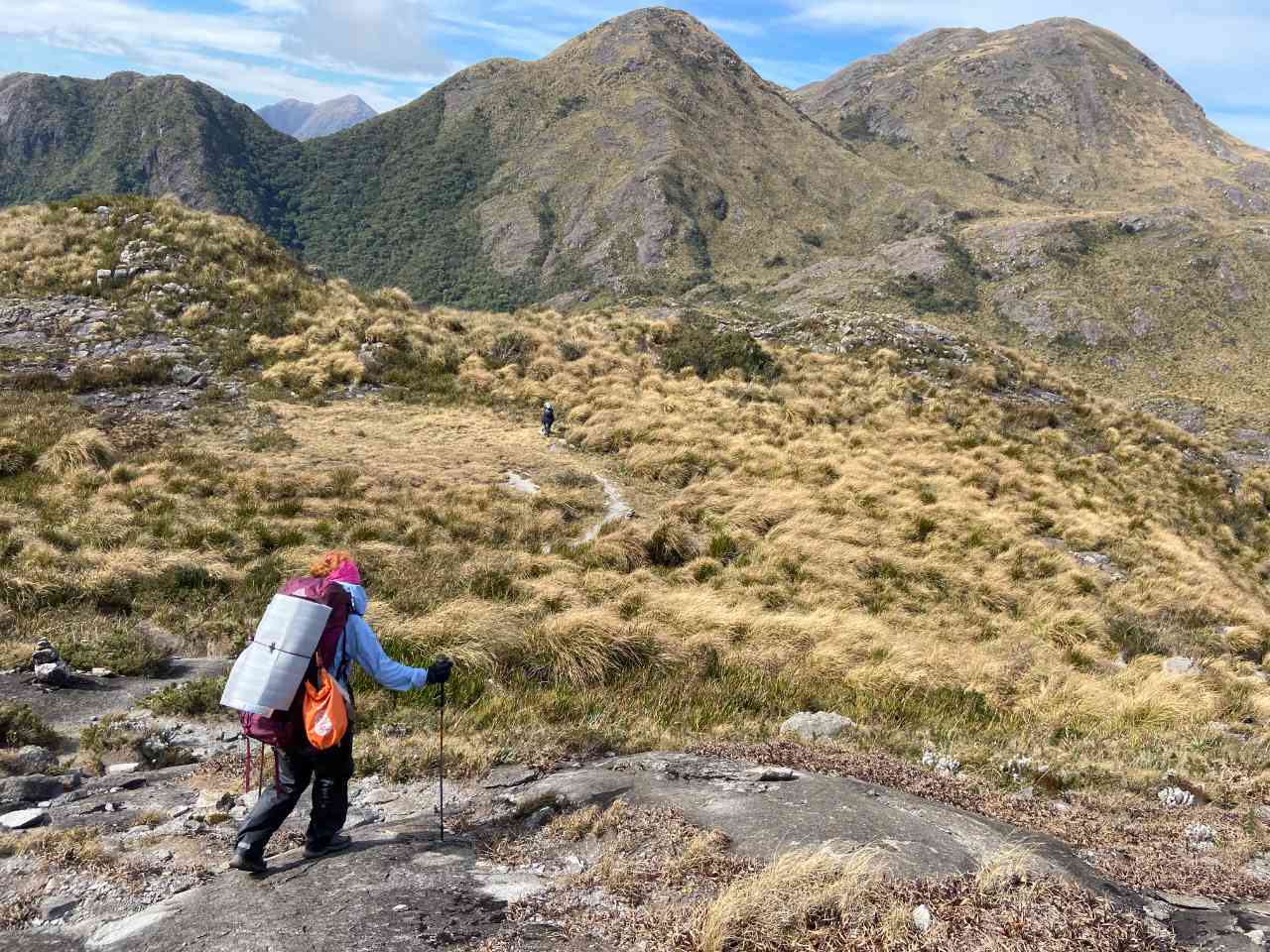
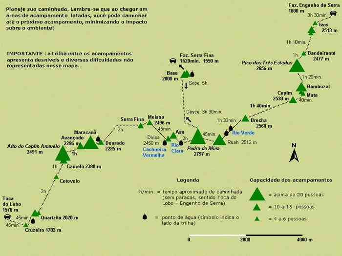
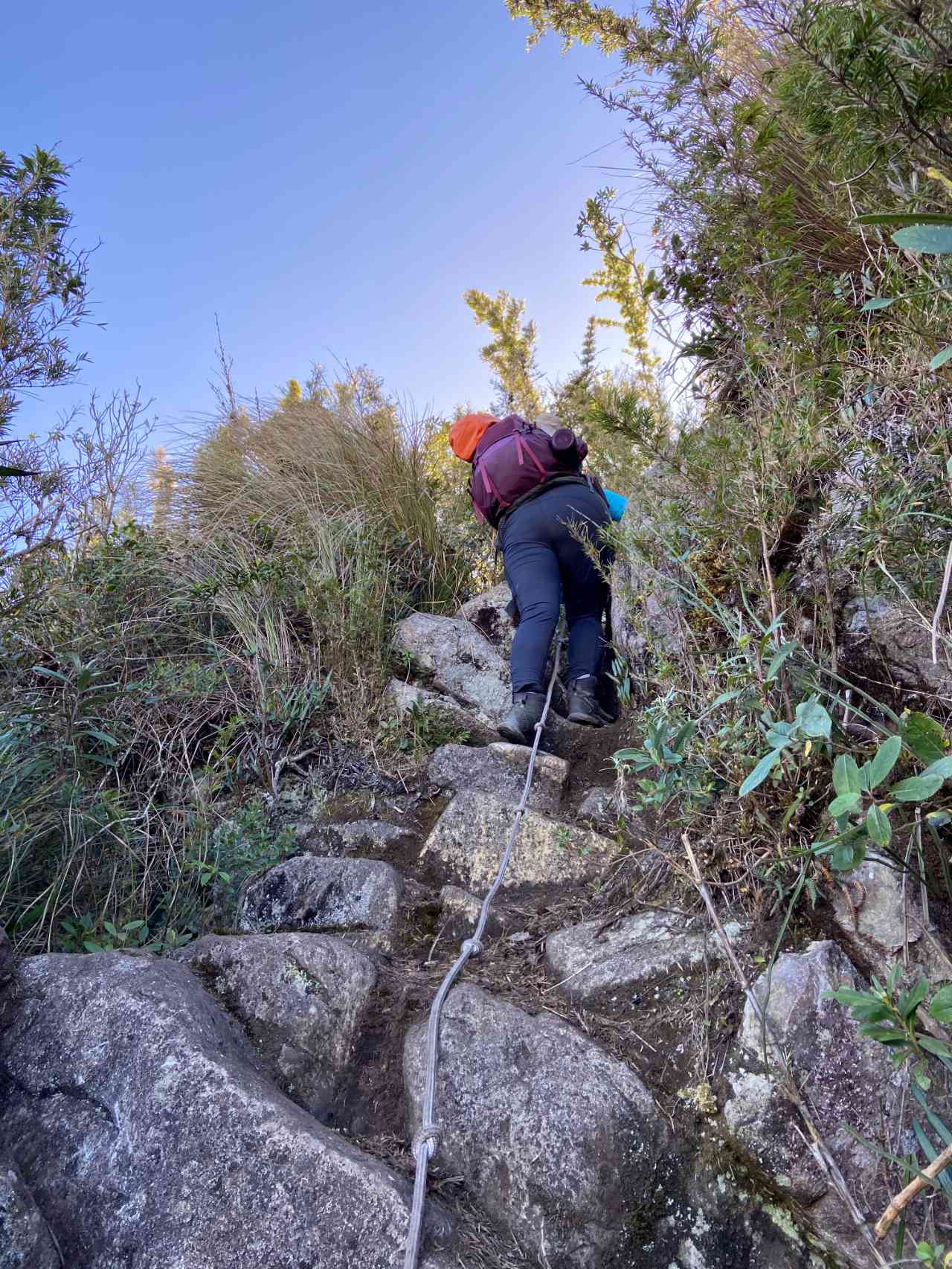
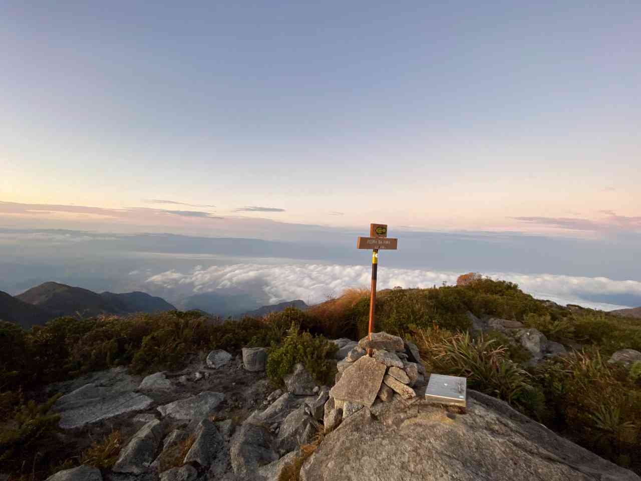
Considered one of the most difficult in the country, it requires experience, planning, and good physical and psychological preparation. However, it is very rewarding as it passes through many of the attractions of Serra Fina. Discover them in the “attractions” section below. It has many stretches of hiking above 2,000m, along the ridges that form the border of the states of MG, SP, and RJ, offering beautiful views of the Paraíba Valley and the mountains of MG.
Activities

Activity Hiking
Time 80h 0m
Guidelines
 Extension: 25.21 Km
 Difficulty Hard
 Orientation Hard
 Signaling Level Partial
 Conservation Good
 Risk Exposure High
 Sun Exposure High
 Hydration Point Available
 Climbing There is
 Minimum Altitude: 1558m Maximum Altitude: 2799m
 Negative Unevenness: 1902m
 Positive Unevenness: 2151m
Attractions that the trail offers
 Fauna
 Viewpoints
What to see on the trail

Travessia da Serra Fina is a segment of the following Long-Distance Trail

The trail is located in the following protected area


Maíra Oliveira 28/04/2023
Travessia que exige bastante planejamento e preparo físico e emocional.
Map
Guidelines
Extension: 25.21 KmDifficulty: HardOrientation: HardSignaling Level: PartialMinimum Altitude: 1558m Maximum Altitude: 2799m Negative Unevenness: 1902m Positive Unevenness: 2151m