Travessia São João d'Aliança x Alto Paraíso do Goiás (Via Tapera)
Description
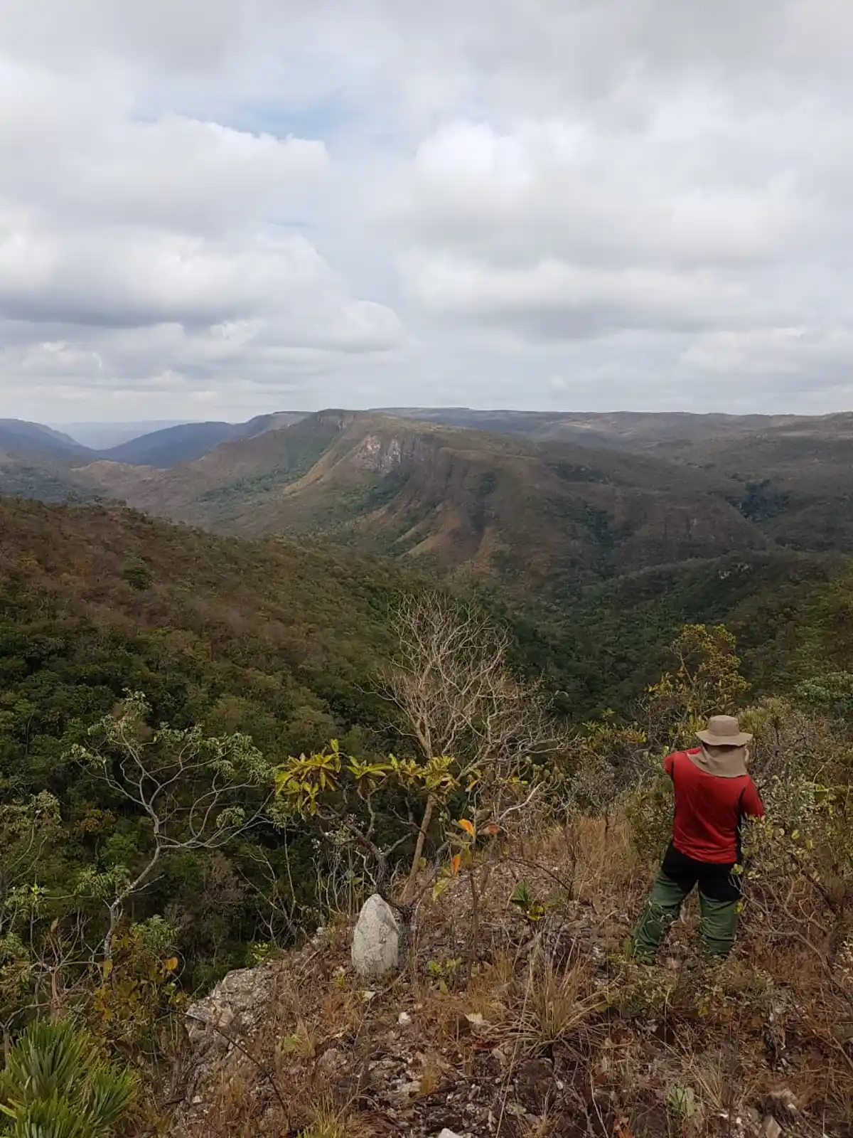
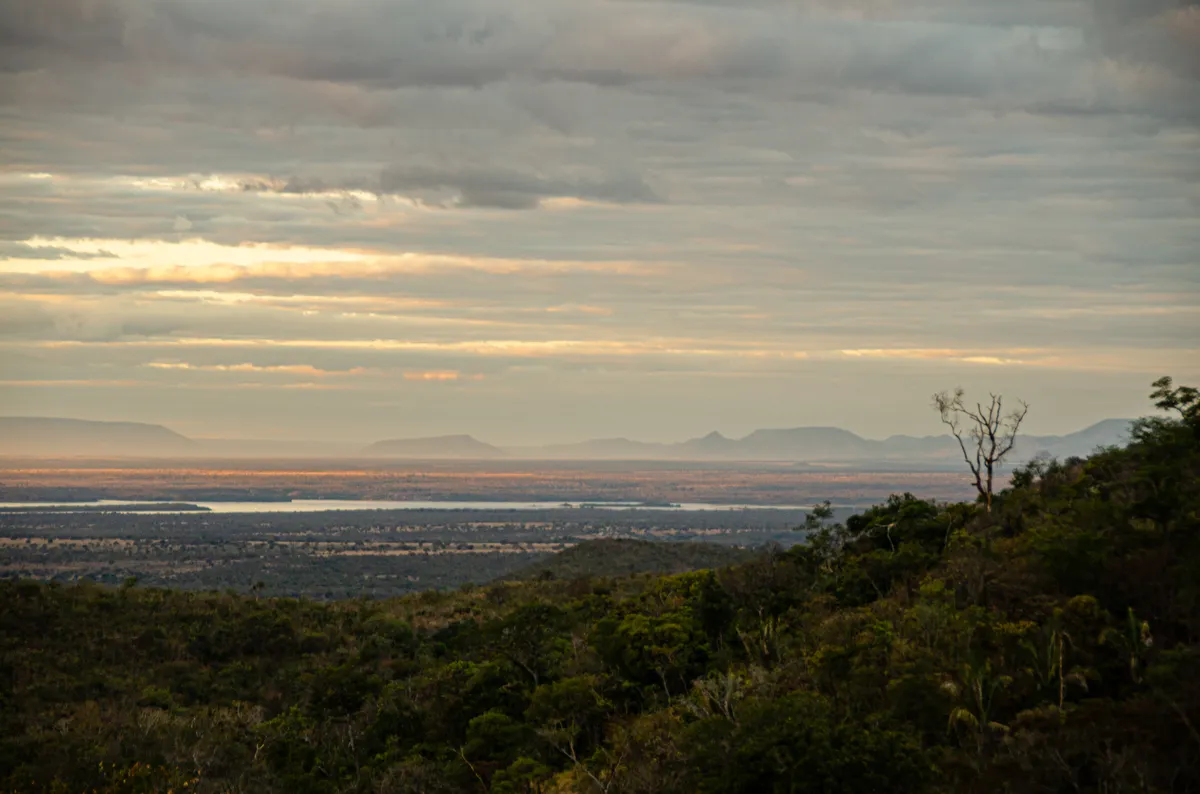
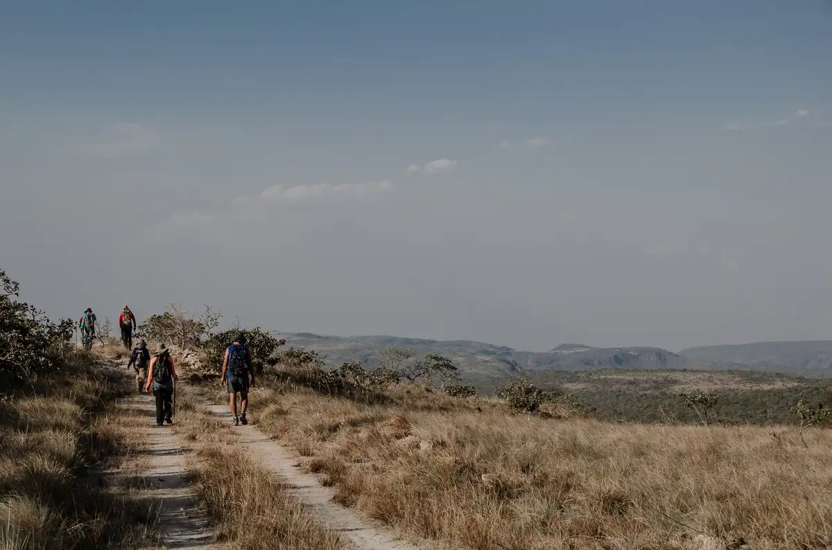
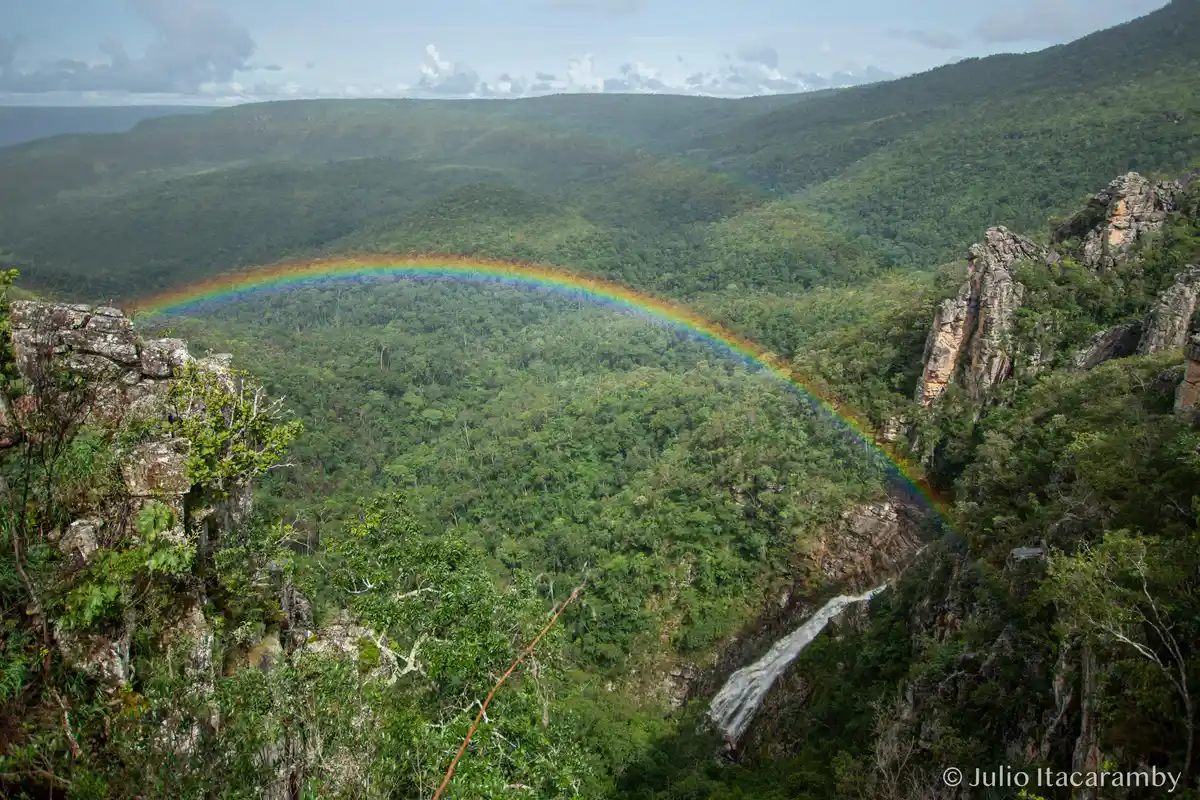
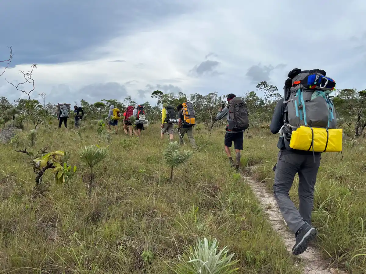
This is a long and strenuous crossing that requires physical preparation and experience in long-distance trails and adverse situations in remote areas. Overnight stays/camping should only be done in designated areas. The hike is a complete connection with the power of nature, the unique beauty of the cerrado, and the impressive Veadeiros region. The crossing lasts about 10 days, depending on the hiker's disposition and experience.
Activities

Guidelines
 Extension: 132 Km
 Difficulty Hard
 Orientation Hard
 Signaling Level Partial
 Conservation Good
 Risk Exposure High
 Sun Exposure High
 Hydration Point Available
 Climbing There is
 Minimum Altitude: 714m Maximum Altitude: 1430m
 Negative Unevenness: 3087m
 Positive Unevenness: 3320m
Attractions that the trail offers
 Avifauna
 Community Tourism
 Mountain Range
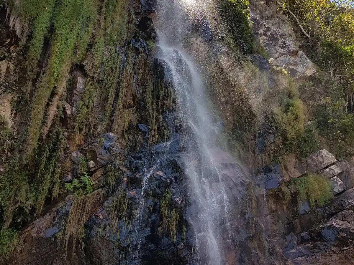
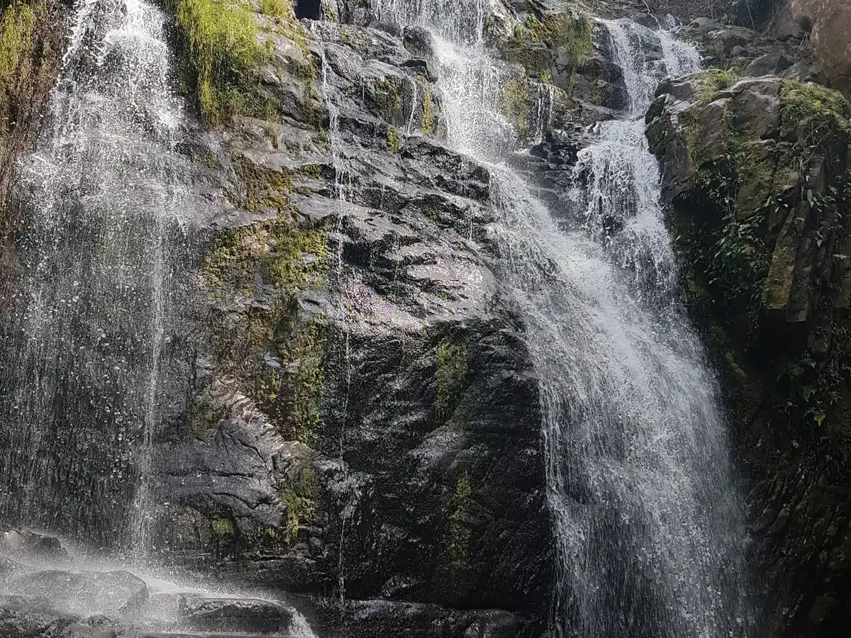
 Waterfall
 Rock Formations
Travessia São João d'Aliança x Alto Paraíso do Goiás (Via Tapera) is a segment of the following Long-Distance Trail

The trail is located in the following protected area

Tips
This traverse is still being implemented. There are sections without a fully cleared trail and with little signage. In some places, the vegetation may be overgrown. Not recommended for beginners, people who are not physically fit, or people without experience on long-distance trails, as it requires self-sufficiency to hike in remote areas. Rocky terrain, with steep spots and a lot of sun exposure. There are entrance fees for some attractions and for the Parque Nacional da Chapada dos Veadeiros. The use of GPS and similar geolocation systems, or hiring guides/local guides, is strongly recommended.
Map
Guidelines
Extension: 132 KmDifficulty: HardOrientation: HardSignaling Level: PartialMinimum Altitude: 714m Maximum Altitude: 1430m Negative Unevenness: 3087m Positive Unevenness: 3320m