Trilha Linha Amarela
Description
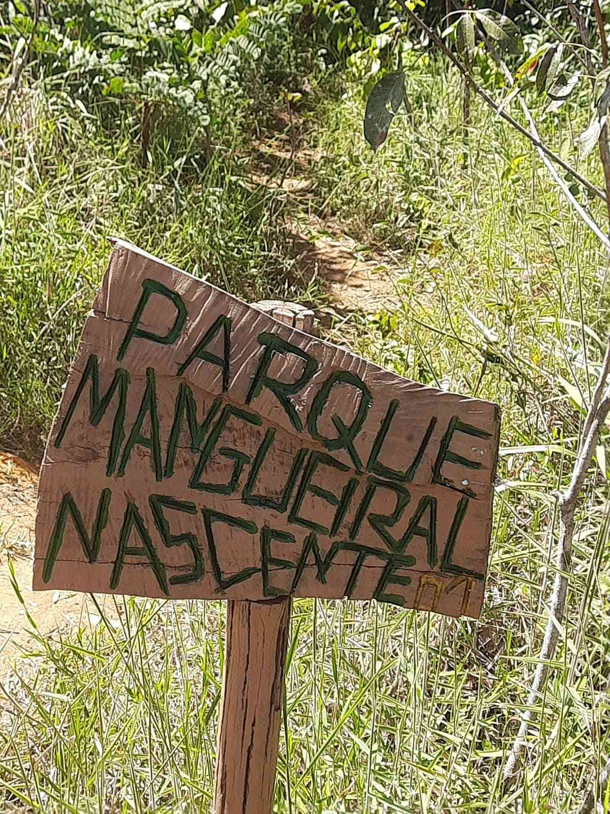
The Yellow Line Trail is the 8km trail of the Mangueiral Ecological Park, located in the Botanical Garden, with the Orange Trail (2km) and Blue Trail (4km) also available. The park aims to implement protective measures for the area it encompasses, ensuring the maintenance of the Borá Manso Stream, a tributary of the Santo Antônio da Papuda Stream; and the connection between protected areas in the form of an ecological corridor between the Lago Paranoá basin and the São Bartolomeu River basin.
Activities

Activity Hiking
Time 3h 0m
Guidelines
 Extension: 8.32 Km
 Difficulty Moderate
 Orientation Moderate
 Signaling Level Complete
 Conservation Good
 Risk Exposure Medium
 Sun Exposure High
 Hydration Point Unavailable
 Climbing No climbing required
 Minimum Altitude: 1142m Maximum Altitude: 1029m
 Negative Unevenness: 172m
 Positive Unevenness: 172m
Attractions that the trail offers
 Fauna
 Viewpoints
 River
The trail is located in the following protected area
Map
Guidelines
Extension: 8.32 KmDifficulty: ModerateOrientation: ModerateSignaling Level: CompleteMinimum Altitude: 1142m Maximum Altitude: 1029m Negative Unevenness: 172m Positive Unevenness: 172m 


