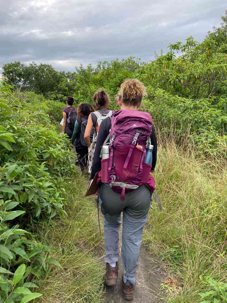
Trecho 2: Boca da Barra
Description
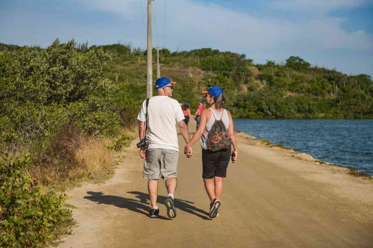
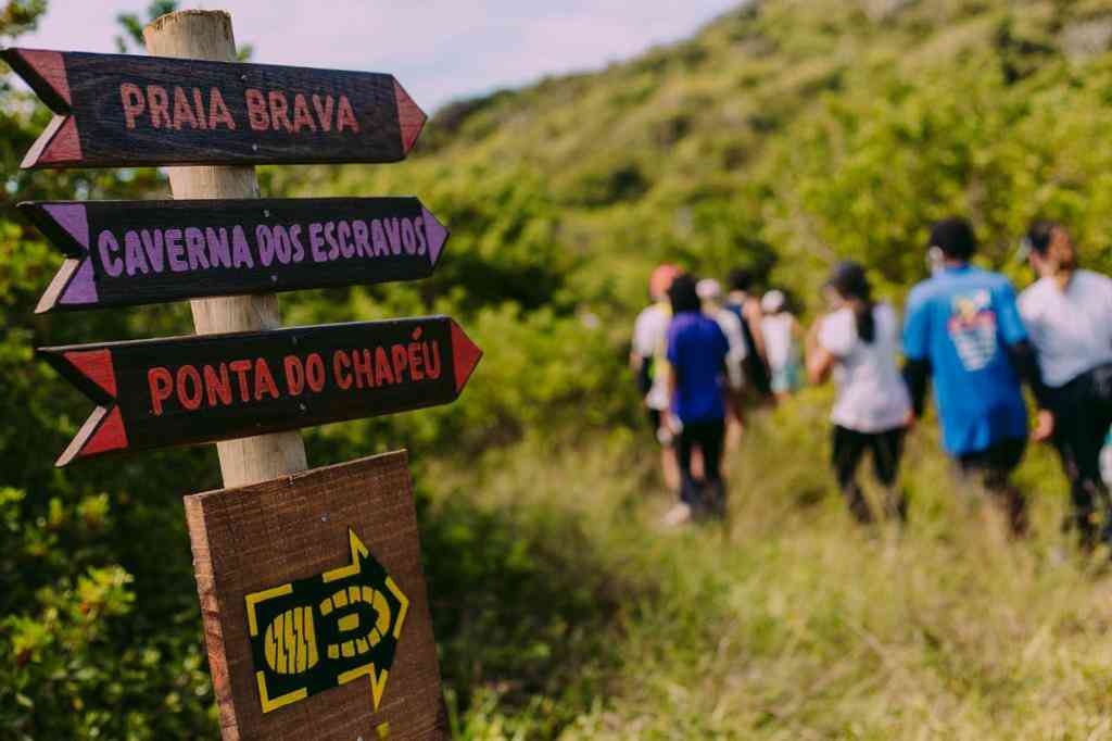
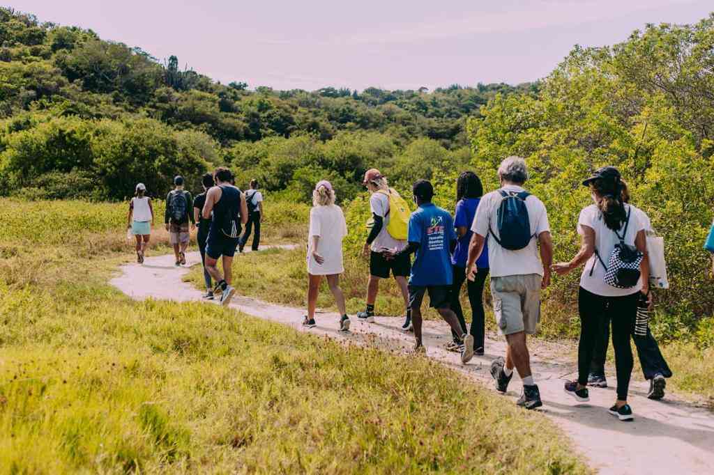
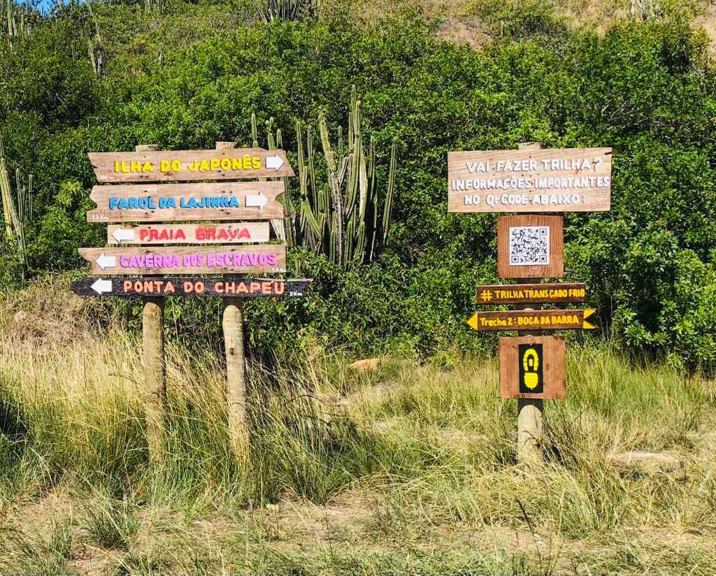
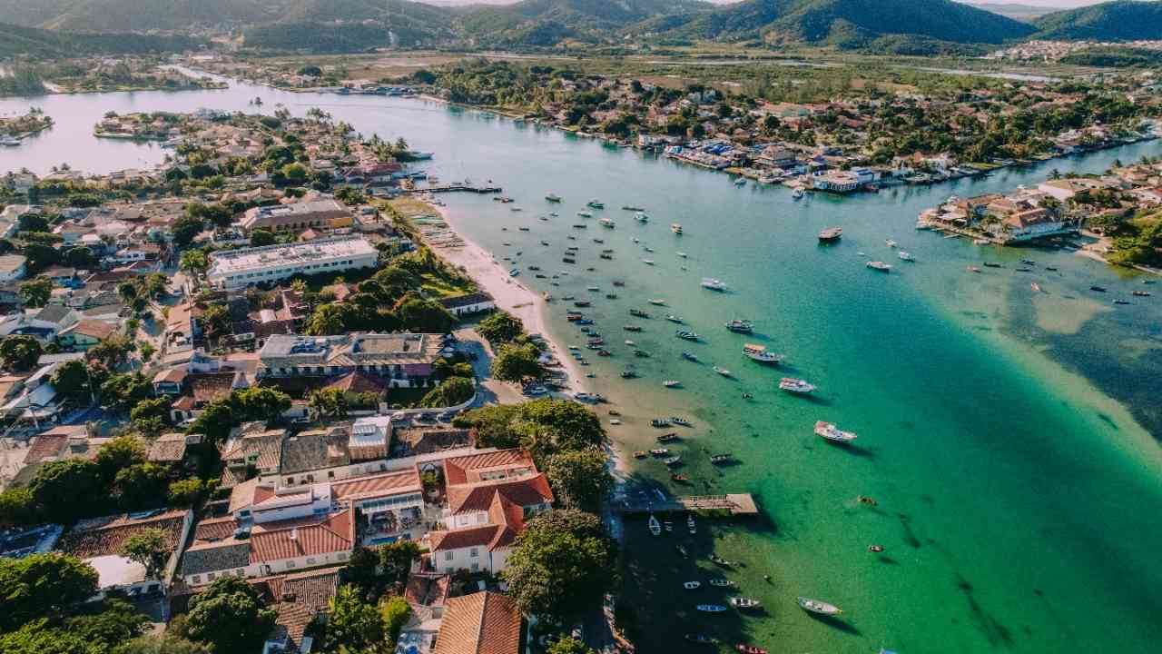
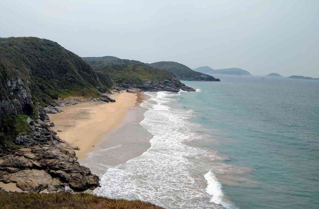
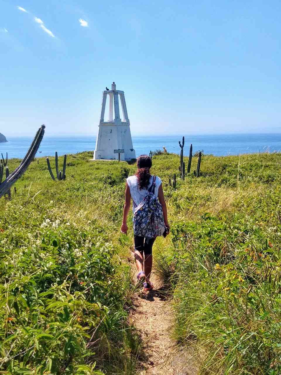
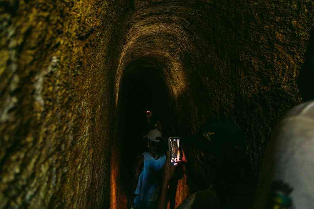
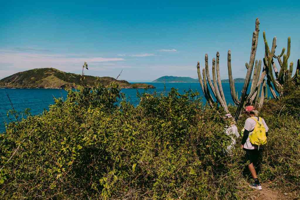
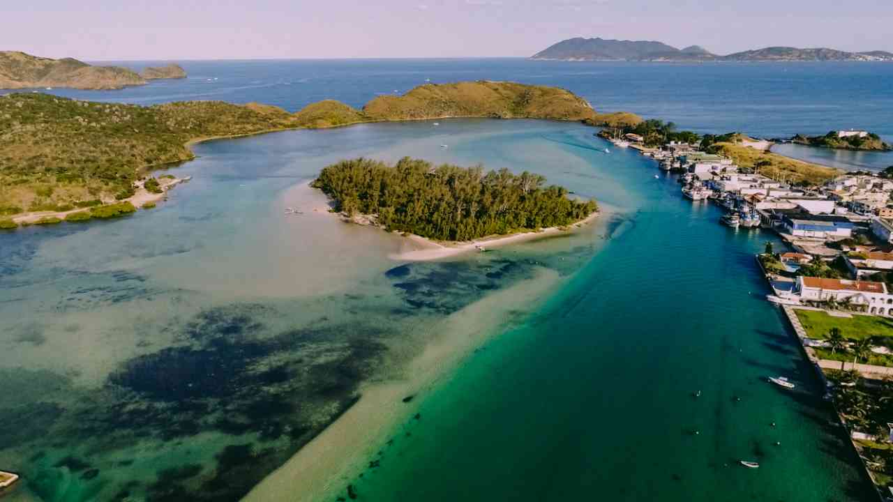
Section 2 passes through the Boca da Barra Park and allows for visits to various attractions in the park, which we can highlight: 1. Ilha do Japonês: an ecological paradise with its white sands and shallow, crystal-clear waters, ideal for relaxation. It features endemic birdlife and plant species from a restinga ecosystem. 2. Farol da Lajinha: a small lighthouse inaugurated by the Brazilian Navy in 1913, serves to signal the entrance to Cabo Frio at Boca da Barra for vessels. From the top of the lighthouse, there is a privileged view of the Cabo Frio Islands and the entire stretch of Praia do Forte, where a diverse birdlife and marine animals on migration routes can be observed. 3. Praia Brava: with wild nature, clear and turbulent waters, it is 400 meters long and surrounded by cliffs 20 meters high, constituting an important field of study in geology. It is frequented by surfers, and in its right corner, an area is reserved for nudism. 4. Caverna dos Escravos: a relic of Cabo Frio. The cave, just over 30 meters long, is surrounded by legends. 5. Ponta do Chapéu: a fishing spot used by local artisanal fishermen. From this location, one can observe almost all the Coastal Islands of Cabo Frio, a variety of seabirds, and the characteristic coastal vegetation with many bromeliads and cacti.
Activities

Guidelines
 Extension: 8 Km
 Difficulty Moderate
 Orientation Easy
 Signaling Level Complete
 Conservation Good
 Risk Exposure High
 Sun Exposure High
 Hydration Point Unavailable
 Climbing There is
 Minimum Altitude: 0m Maximum Altitude: 45m
 Negative Unevenness: 86m
 Positive Unevenness: 97m
Attractions that the trail offers
 Beach
 Historic Building
 Fauna
 Viewpoints
 Ruins
Trecho 2: Boca da Barra is a segment of the following Long-Distance Trail

The trail is located in the following protected area


Map
Guidelines
Extension: 8 KmDifficulty: ModerateOrientation: EasySignaling Level: CompleteMinimum Altitude: 0m Maximum Altitude: 45m Negative Unevenness: 86m Positive Unevenness: 97m