Trilha TransCaboFrio
Description
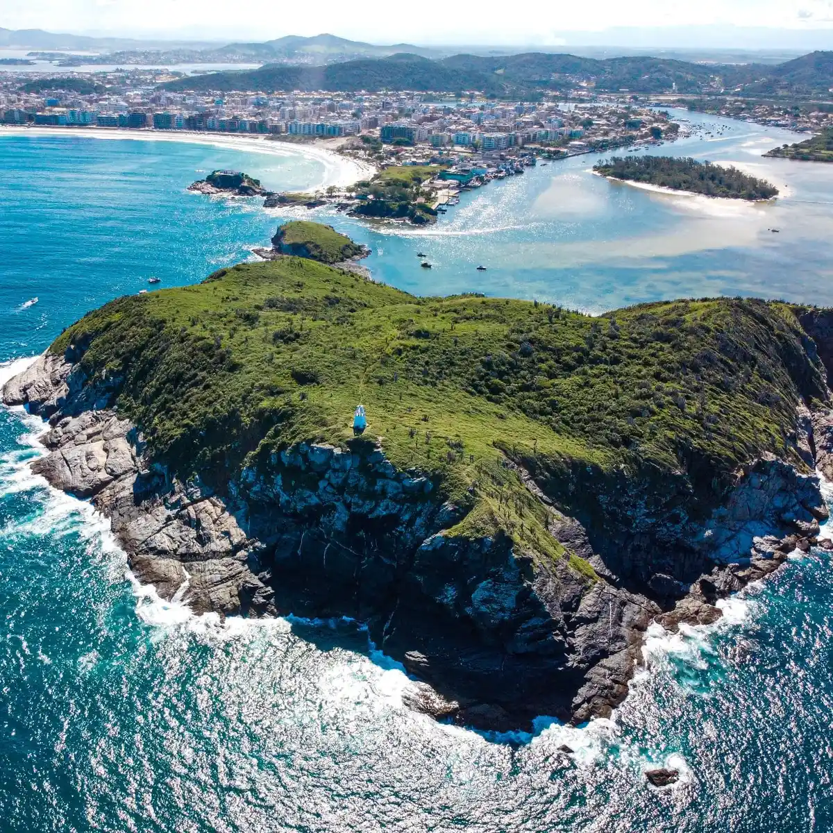
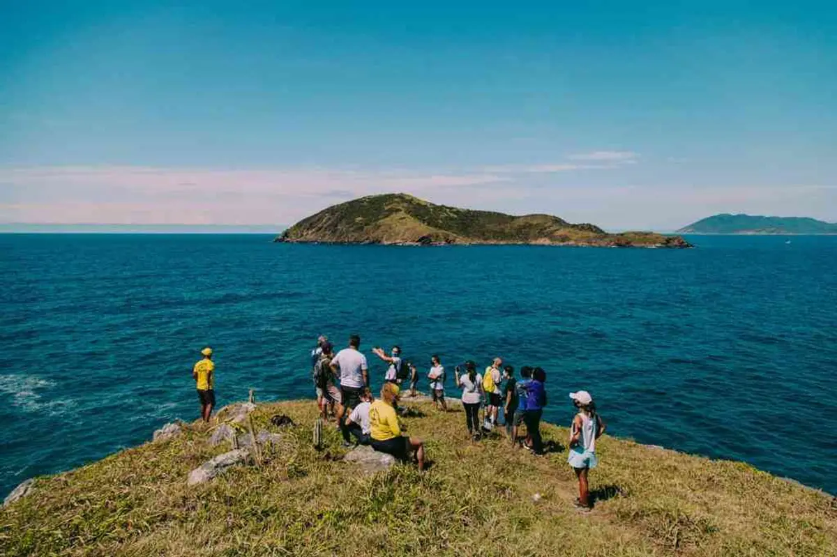
Cabo Frio, in the state of Rio de Janeiro, is one of the oldest cities in Brazil and the hub of the tourist region of Costa do Sol. A paradise of crystal-clear waters, lush nature, and sunshine all year round. The TRANSCABOFRIO Trail is being implemented by the Municipal Government of Cabo Frio through the Municipal Secretary of Tourism, Sports, and Leisure in partnership with the Municipal Secretary of Sanitation and the Environment, with support from the Anita Mureb State Park of Costa do Sol and the Geopark Project of Costões and Lagoons of Rio de Janeiro. Cabo Frio is open to welcome its visitors from January to January, but we highlight that outside the high season, it is much quieter to venture on our trails. Come hike with us; get to know our culture and experience our lush landscapes!
Activities

Guidelines
 Extension: 52.62 Km
 Difficulty Moderate
 Orientation Easy
 Signaling Level Partial
 Conservation Good
 Risk Exposure Medium
 Sun Exposure High
 Hydration Point Unavailable
 Climbing No climbing required
 Minimum Altitude: 0m Maximum Altitude: 44m
 Negative Unevenness: 172m
 Positive Unevenness: 169m
What the trail offers
 Avifauna
 Dunes
 Farm
 Flora
 Rock Formations
 Lagoon
 Mangrove
 Mountain Range
 Historic Building
 Fauna
 Viewpoints
 River
 Ruins
 Archaeological Site
What to see on the trail
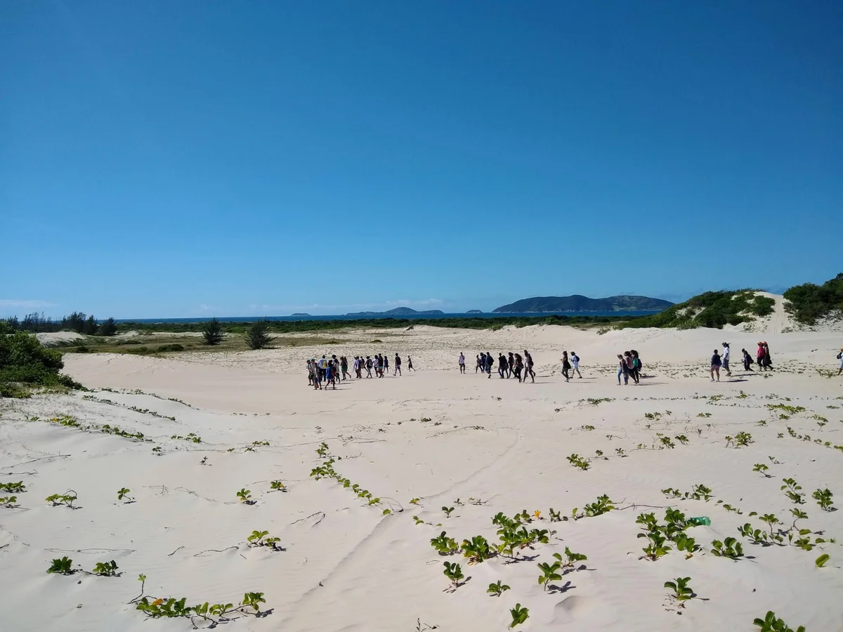
Discover the segments of Trilha TransCaboFrio
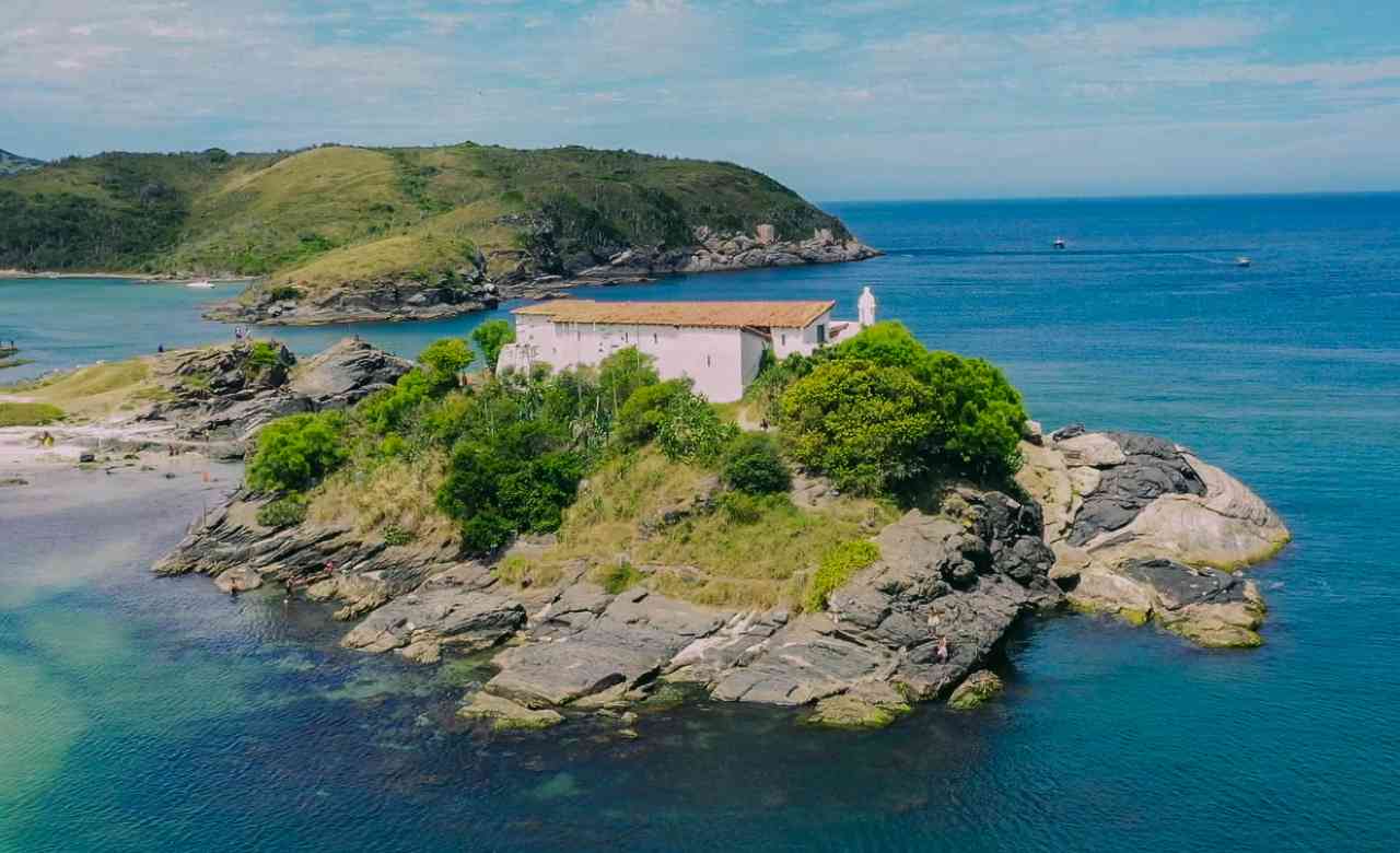


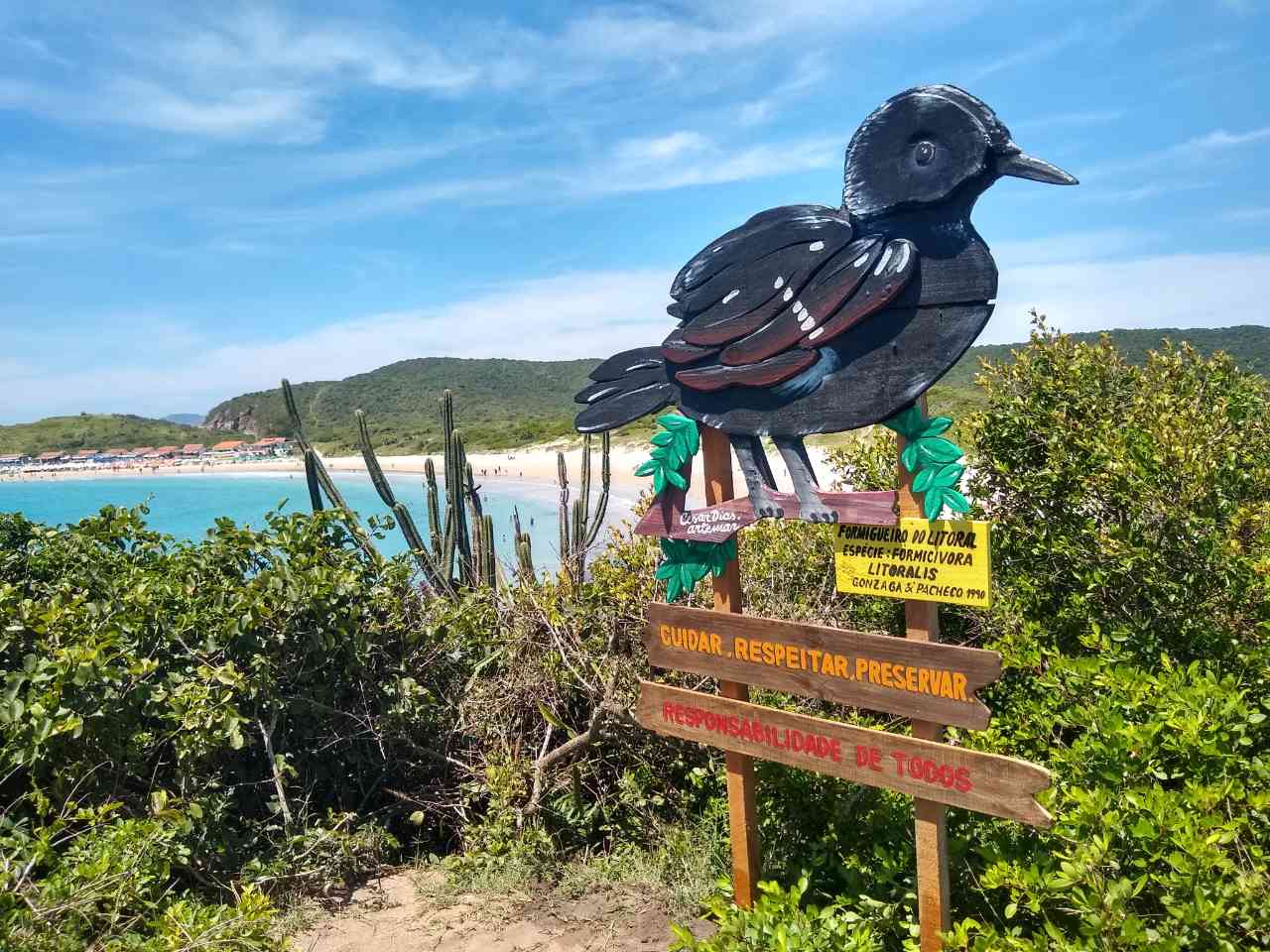
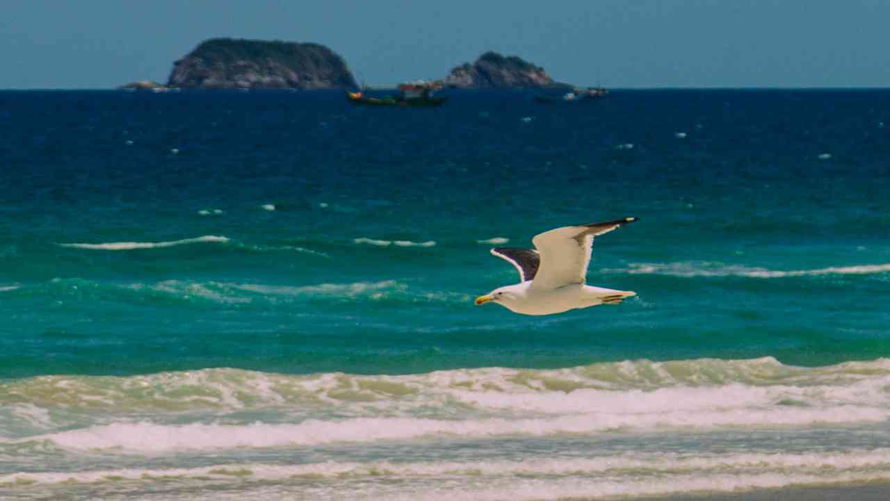

Protected Areas where the Trail passes through

Map
Guidelines
Extension: 52.62 KmDifficulty: ModerateOrientation: EasySignaling Level: PartialMinimum Altitude: 0m Maximum Altitude: 44m Negative Unevenness: 172m Positive Unevenness: 169m 


