Caminhos da Ibiapaba Brasileira, Piauí, Brasil
Description The Caminhos da Ibiapaba trail is one of the most important long-distance routes in the Northeast, integrating the Brazilian Trail Network. It connects Ceará to Piauí through the Serra da Ibiapaba, being the first trail of its kind to cross the Caatinga biome. It links the Sete Cidades National Park in Piauí to the Ubajara National Park in Ceará, through the APA Serra da Ibiapaba. Along this route, the trail interconnects different biodiversities and communities with distinct cultures, traditions, and historical elements. It can be traversed on foot or by bicycle and is one of the few trails in Brazil that crosses three biomes: Caatinga, Altitude Atlantic Forest, and Cerrado. The Caminhos da Ibiapaba serves as an ecological corridor between important Conservation Units, connecting six municipalities in a region of great natural and cultural wealth in the Northeast, including Tianguá, Ubajara, and Ibiapina in Ceará, and São João da Fronteira, Brasileira, and Piracuruca in Piauí. Inspired by the ancient paths of the drovers, the trail offers a unique experience of adventure, contact with nature, and immersion in the traditions that shaped the region's identity.
Activities Activity Hiking
Time 216h 0m
Activity Cycling
Time 160h 0m
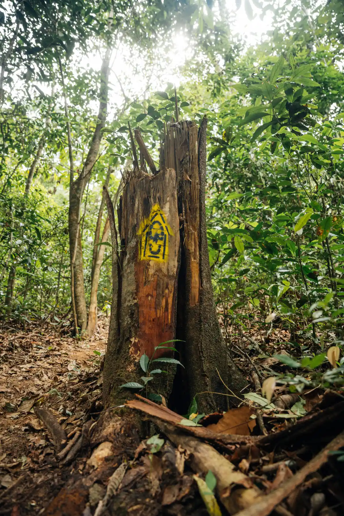
Guidelines Extension: 182 Km Difficulty Hard Orientation Moderate Signaling Level Complete Conservation Excellent Risk Exposure Medium Sun Exposure Medium Hydration Point Available Climbing There is Minimum Altitude: 29m Maximum Altitude: 800m Negative Unevenness: 453m Positive Unevenness: 1300m
What the trail offers Avifauna Waterfall Canyon Visitor Center Fauna Farm Rock Formations Flora Cave Viewpoints Peak Natural Pool Mountain Range Archaeological Site Community Tourism
Discover the segments of Caminhos da Ibiapaba
Protected Areas where the Trail passes through
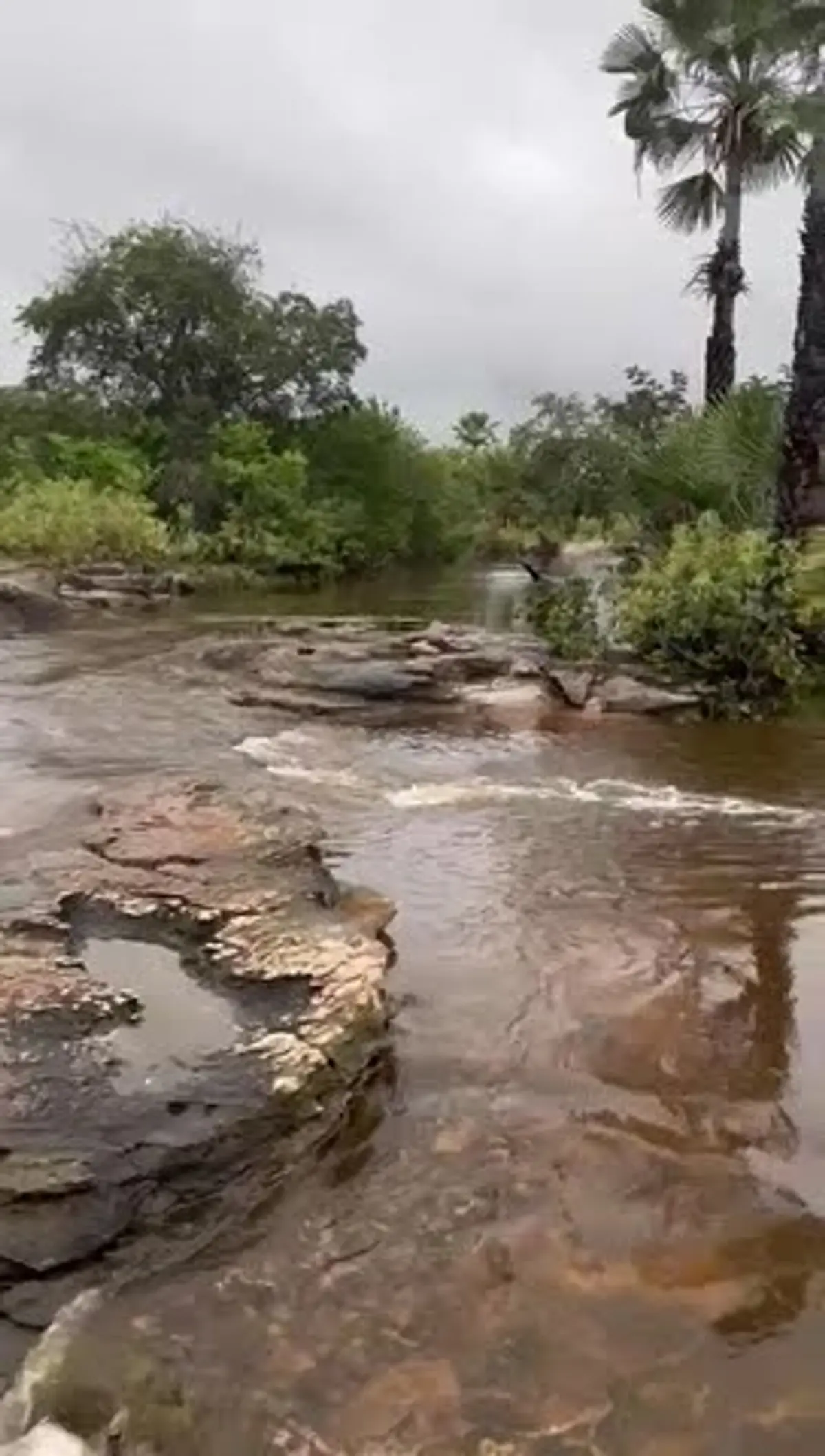
Map Guidelines Extension: 182 KmDifficulty: HardOrientation: ModerateSignaling Level: CompleteMinimum Altitude: 29m Maximum Altitude: 800m Negative Unevenness: 453m Positive Unevenness: 1300m Route The trail begins at the National Park of Sete Cidades, in the municipality of Piracuruca, PI. SECTION 1 PARNA SETE CIDADES x BOM JARDIM, with 22 km. This section is marked by the transition between the Cerrado and the Caatinga, offering a unique geological landscape. Rock paintings and the iconic stone cities, such as Pedra do Castelo, Arco do Triunfo, and Biblioteca, are formations sculpted by erosion that resemble monuments and objects, in addition to the Piscina dos Milagres. SECTION 2 BOM JARDIM x PIÇARRA, with 14 km, is a rural transition section very characteristic of the Piauí hinterland, with traditional communities. Depending on the time of year, between May and July, especially, you will cross the beds of streams that, although dry for most of the year, maintain greener and leafier vegetation around. A water supply location. SECTION 4 SACO DOS POLIDÓRIOS x BELMONTE, with 18 km, marks an important transition in the journey, leaving the flatter areas of Piauí and beginning the approach to the foothills of the Serra da Ibiapaba. Rock paintings, Mirante da Transição, and the strong culture and community identity of the locality of Saco dos Polidórios. SECTION 5 BELMONTE x MALHADA DAS PEDRAS, with 16 km, is one of the most authentic and visually impactful sections on the Piauí side, in São João da Fronteira, serving as the last major stage before the final ascent of the Serra da Ibiapaba towards Ceará. There is a view of the wall of the Serra da Ibiapaba, and you walk parallel to the base of the mountain, observing the sandstone cliffs that divide the states of Piauí and Ceará. There are archaeological sites along the route. SECTION 6 MALHADA DAS PEDRAS x SÃO JOÃO DA FRONTEIRA, with 12 km, the trail leaves the foothill areas and approaches urban infrastructure before the climbing challenges of the escarpment. Caminho dos Tropeiro, where the path uses ancient trade routes. SECTION 7 SÃO JOÃO DA FRONTEIRA x SANTO ANTÔNIO DA PINDOBA, with 16 km, here you leave Piauí and officially enter the territory of Ceará, making the ascent of the escarpment of the Serra da Ibiapaba. It is one of the most physically demanding sections, as it involves climbing the mountain, leaving the Piauí plain, at about 200m altitude, to the Ceará plateau, above 700m. SECTION 9 CACHOEIRA DO BOI MORTO x ENGENHO, with 15 km, now in Ceará, is one of the most refreshing and visually rich routes of the entire crossing, as it deeply explores the water resources and agricultural history of the region. The Boi Morto Waterfall Complex is one of the main attractions. It is a natural leisure area with several waterfalls and natural pools formed by the Ubajara River. SECTION 10 ENGENHO x VISITORS CENTER OF UBAJARA NATIONAL PARK, with 14 km, is one of the most emblematic sections of the trail, as it marks the entrance to the most famous Conservation Unit in the region. This is one of the best sections to spot the Bugio, also called Guariba, and the Macaco Prego. The sound of the Guariba echoing through the canyon is one of the most remarkable acoustic experiences of Ibiapaba. SECTION 11 VISITORS CENTER OF UBAJARA NATIONAL PARK x MURIMBECA, with 14 km, is the highlight of the entire crossing. It is a section that requires breath, but rewards with the most dramatic landscapes of the Serra da Ibiapaba. In this section, there is the Cachoeira do Cafundó, the Ubajara Canyon, and the route involves descending and ascending steep slopes, as well as sections with loose stones and roots. SECTION 12 MURIMBECA x CACHOEIRA DO PINGA, with 14 km, is a contemplative and humid section, winding along the slope of the Serra da Ibiapaba in Ubajara. Here, you will find the Cachoeira do Pinga and the Caminho das Águas. SECTION 13 CACHOEIRA DO PINGA x ACARAPE, with 12 km, marks the end of the journey along the ridge and slope of the mountain. It is a farewell section from the altitude, with striking rural characteristics, in Tiangua.
Get to know other Long-Distance Trails. Trilha Interparques Travessia Guadakan Rota das 10 Cachoeiras Estrada do Pau Brasil - Caminhos do Brasil Original Trilha de Itaúnas Trilha Translagunar


 Extension: 182 Km
 Difficulty Hard
 Orientation Moderate
 Signaling Level Complete
 Conservation Excellent
 Risk Exposure Medium
 Sun Exposure Medium
 Hydration Point Available
 Climbing There is
 Minimum Altitude: 29m
 Negative Unevenness: 453m
 Positive Unevenness: 1300m
 Avifauna
 Waterfall
 Canyon
 Visitor Center
 Fauna
 Farm
 Rock Formations
 Flora
 Cave
 Viewpoints
 Peak
 Natural Pool
 Mountain Range
 Archaeological Site
 Community Tourism